Monongahela National Forest
Monongahela National Forest 1:24k Topographic Map Index
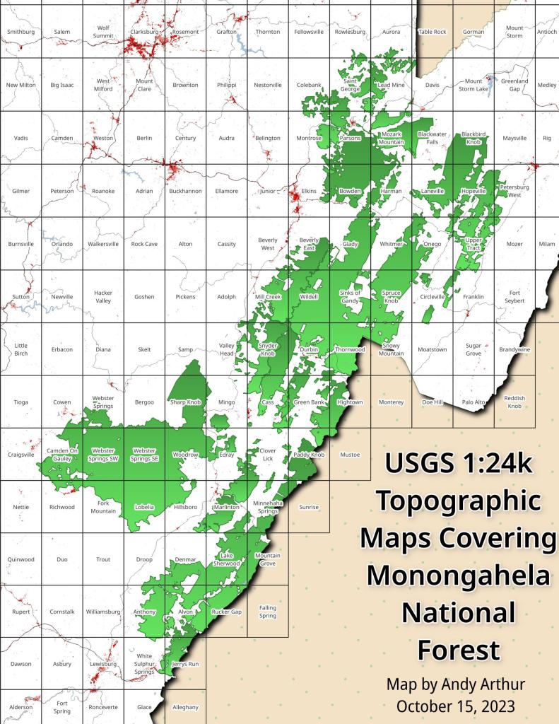
This index map shows all of the USGS Topographic Maps that cover the Monongahela National Forest.
You can get these topographic maps for free here.
Packing Up
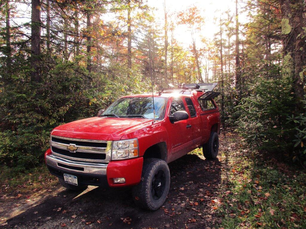
Big Red after getting camp all packed up.
Taken on Sunday October 13, 2019 at Monongahela National Forest.Happy in the Mountain Laurel

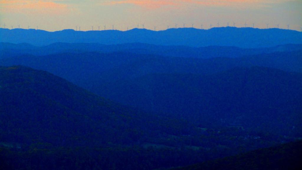
Wind on Backbone Mountain
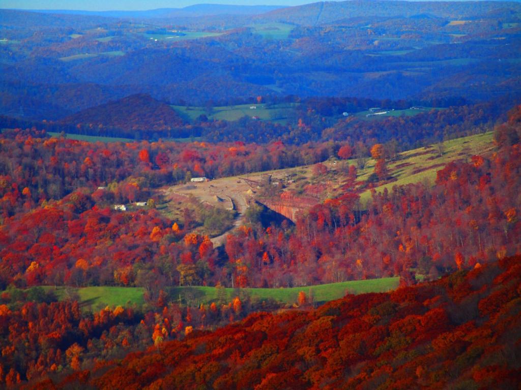
Coal Mine
Final Night camping in Monongahela National Forest – October 27, 2023
It was a great week camping outside of Davis, WV on Canaan Mountain off of Canaan Loop Road. I love those cozy campsites, surrounded by giant and mountain laurel.