
No Garbage in Privy
Some advice from outhouse over Overlook Mountain.
Taken on Sunday April 5, 2009 at Overlook Mountain.
Some advice from outhouse over Overlook Mountain.
Taken on Sunday April 5, 2009 at Overlook Mountain.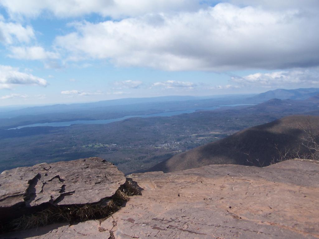
Not a half bad spring day!
Taken on Sunday April 5, 2009 at Overlook Mountain.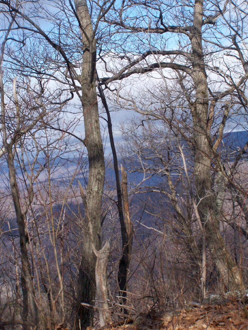
Early morning often is the nicest time for hiking. Right now it's 8:25 AM, with the sun rising, and is just beautiful.
Taken on Sunday April 5, 2009 at Overlook Mountain.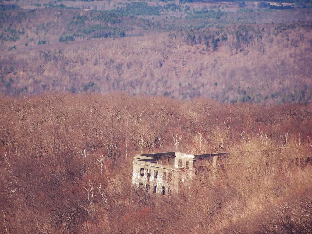
Before it burned down, it must have been a massive resort.
Taken on Sunday April 5, 2009 at Overlook Mountain.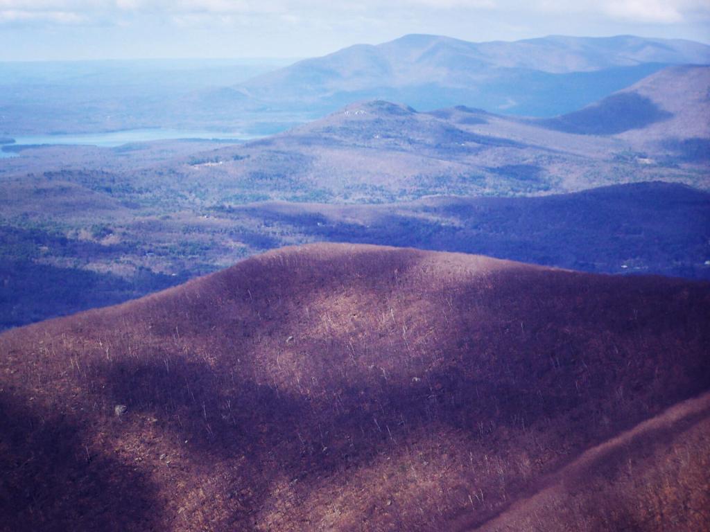
With Ashokan Mountain in the distance.
Taken on Sunday April 5, 2009 at Overlook Mountain.
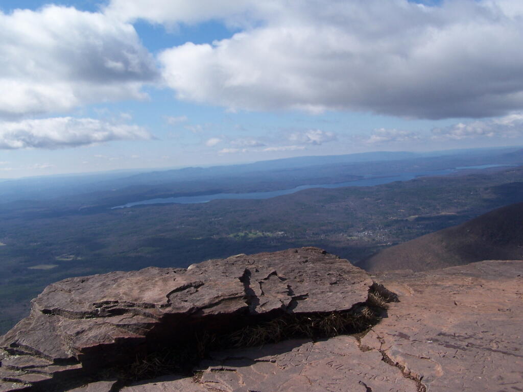
Sprawling out as seen from the ledge of Overlook.
Taken on Sunday April 5, 2009 at Overlook Mountain.