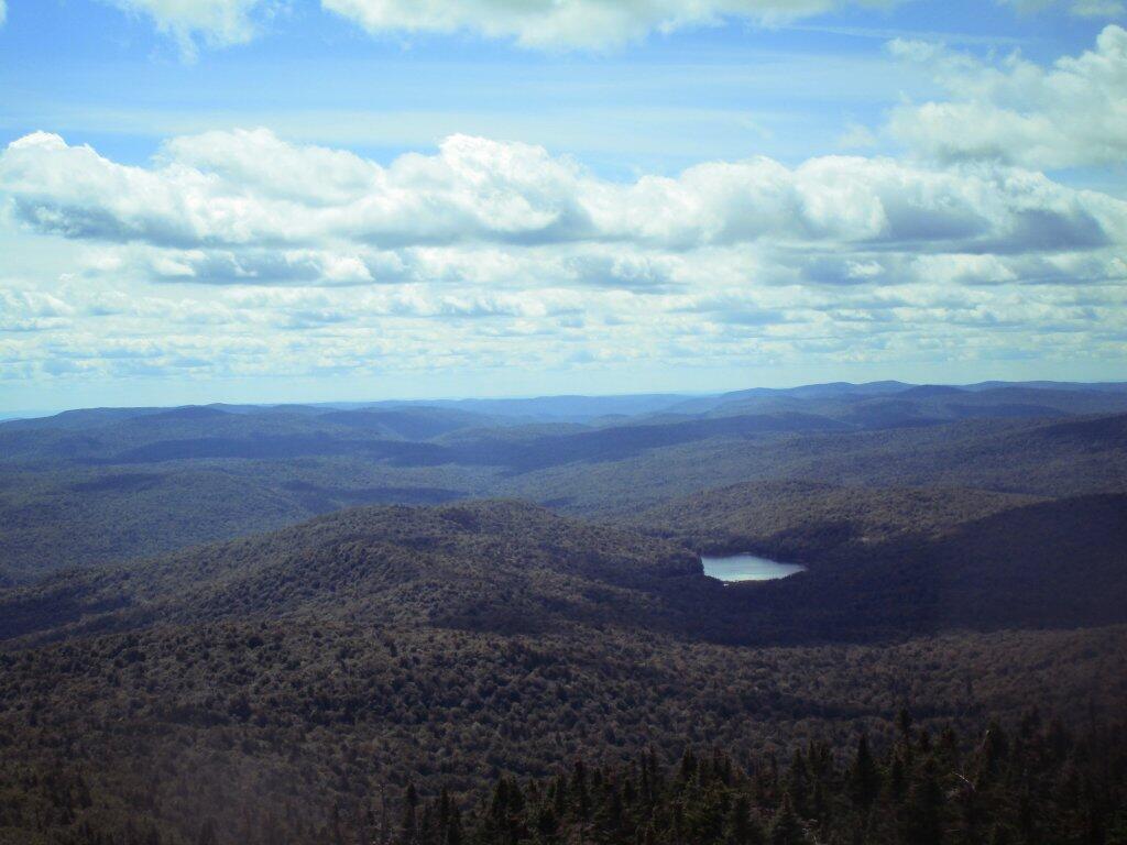
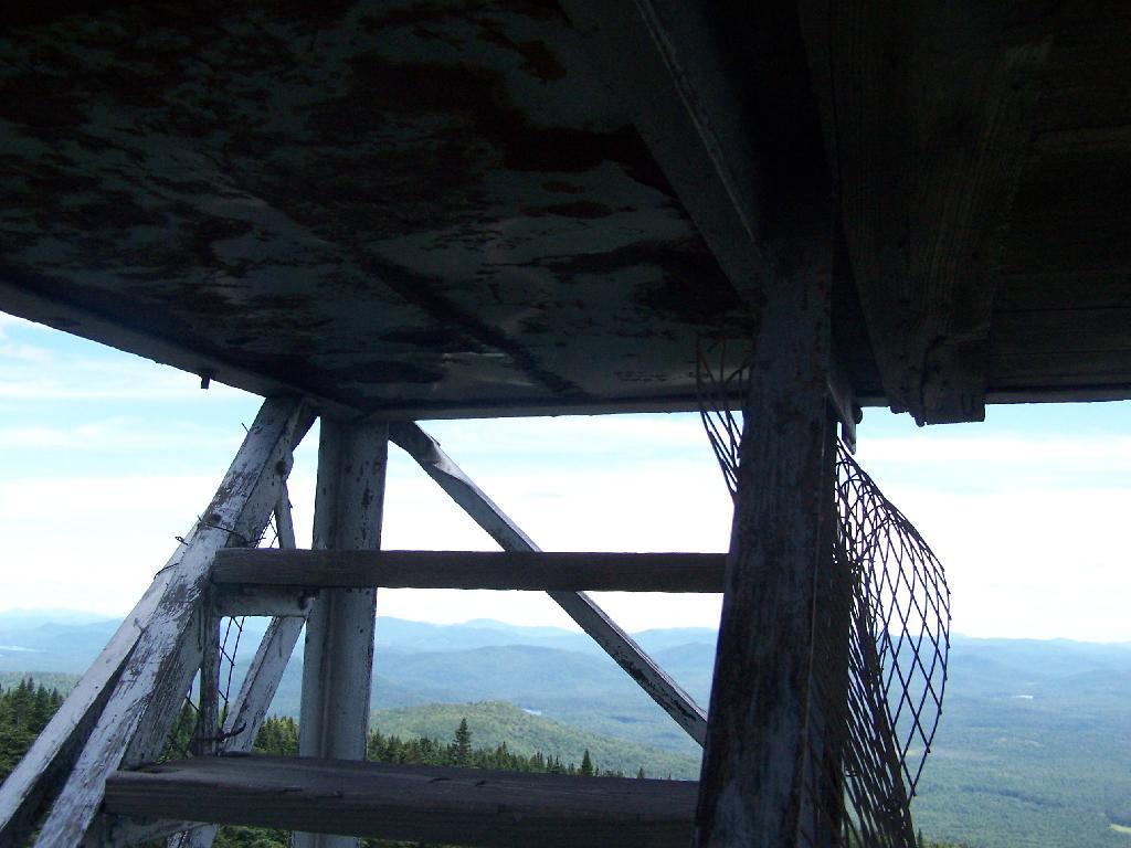
Viewable from the Pillsbury Mountain Firetower
Revised map based on some analysis of I've been doing of photos I've taken over the years from the fire tower. Getting the view shed correct is a bit challenging using bare-earth digital elevation models, which do not fully consider the impact of trees blocking part of the viewable landscape.