Jessup River Wild Forest
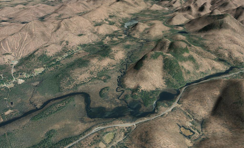
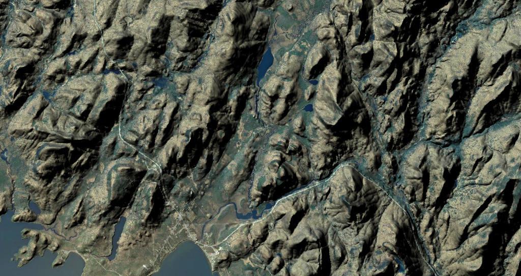
Viewable from the Pillsbury Mountain Firetower
Revised map based on some analysis of I've been doing of photos I've taken over the years from the fire tower. Getting the view shed correct is a bit challenging using bare-earth digital elevation models, which do not fully consider the impact of trees blocking part of the viewable landscape.
Mason Lake
Kunjamuk Bay
Mason Lake
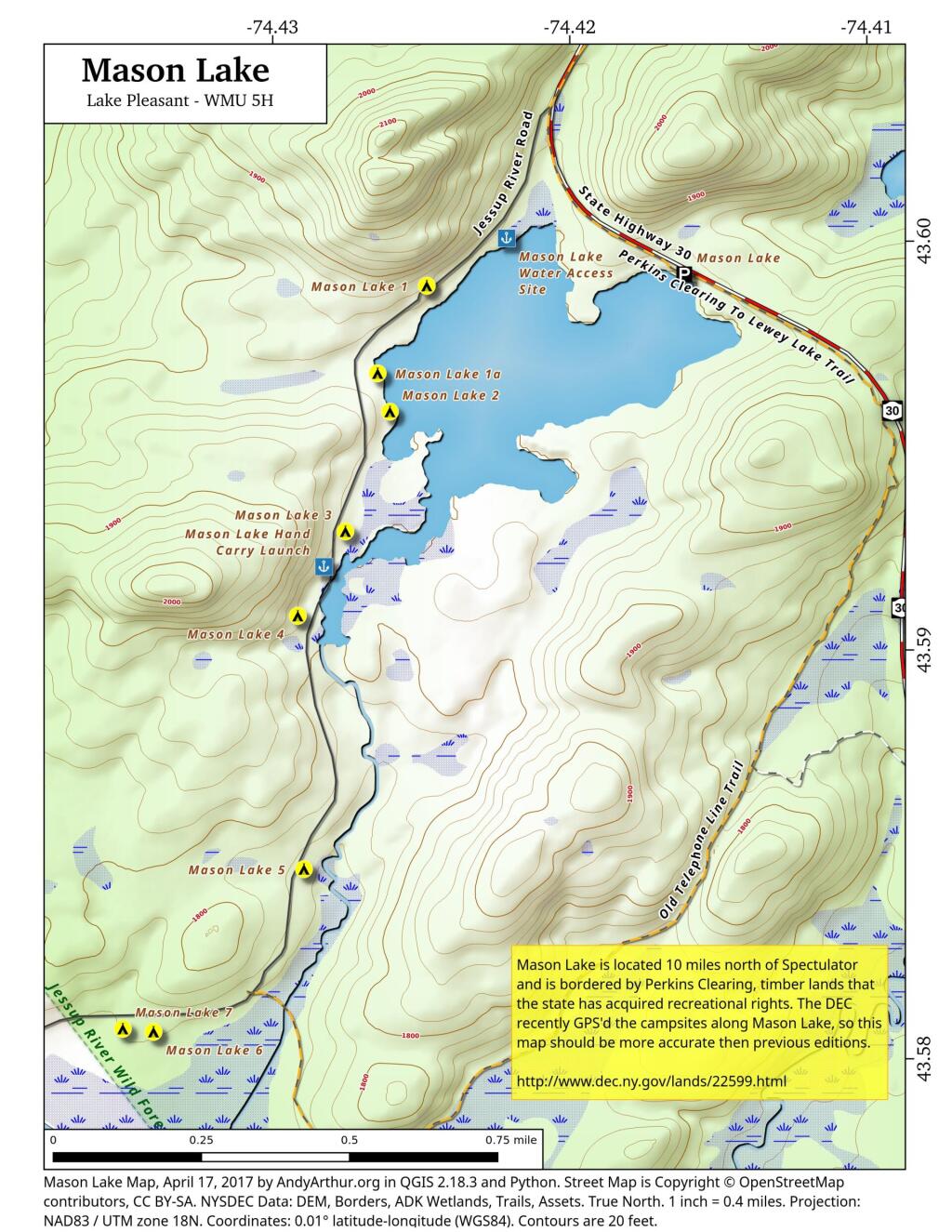
This updated map contains the exact locations of campsites and boat launches along Mason Lake based on the DEC's GPS-based survey of the campsites last fall. While previous maps that I made up using heads-up digitizing and my own notes were fairly accurate, this map takes it up a notch.
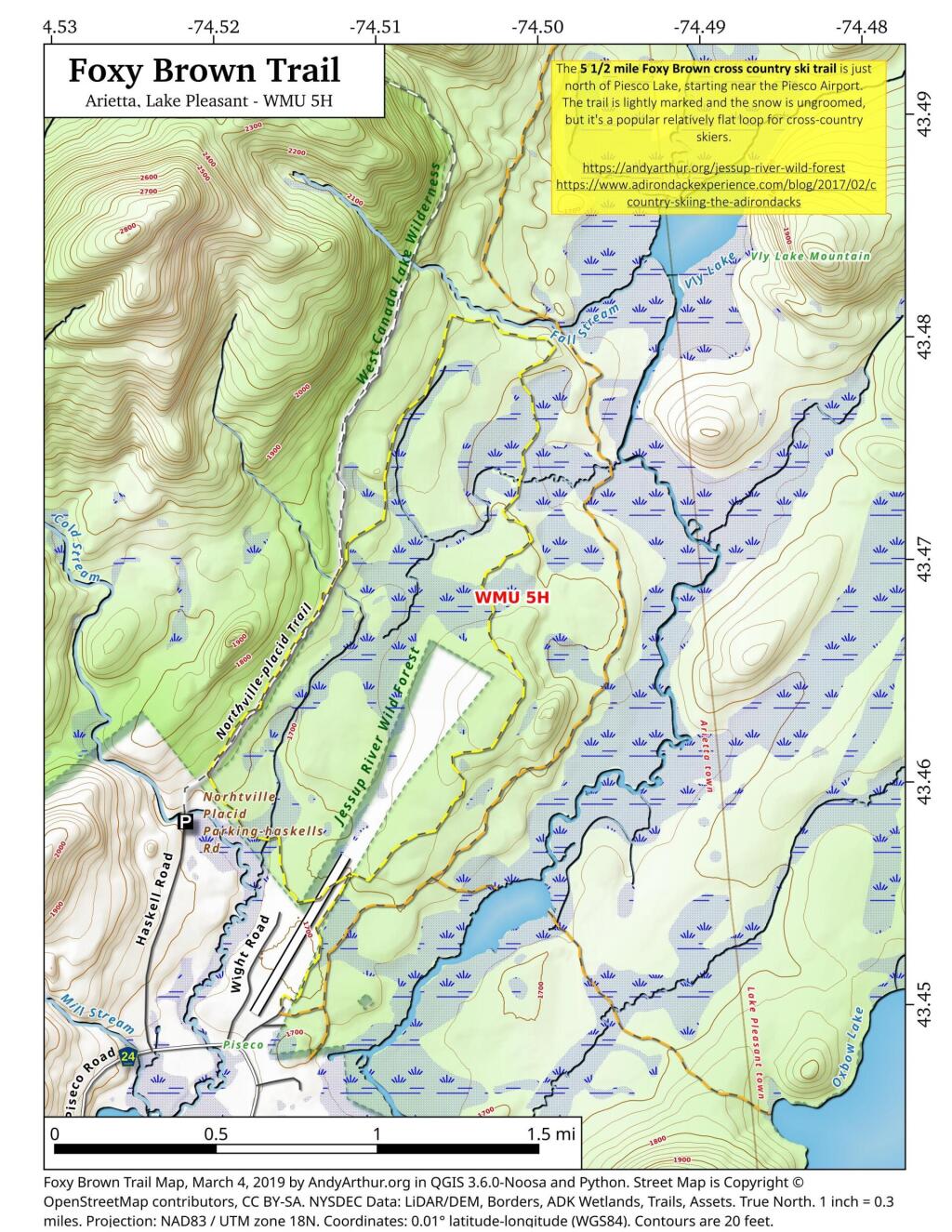
Foxy Brown Trail
Elm Lake and Kunjamunk