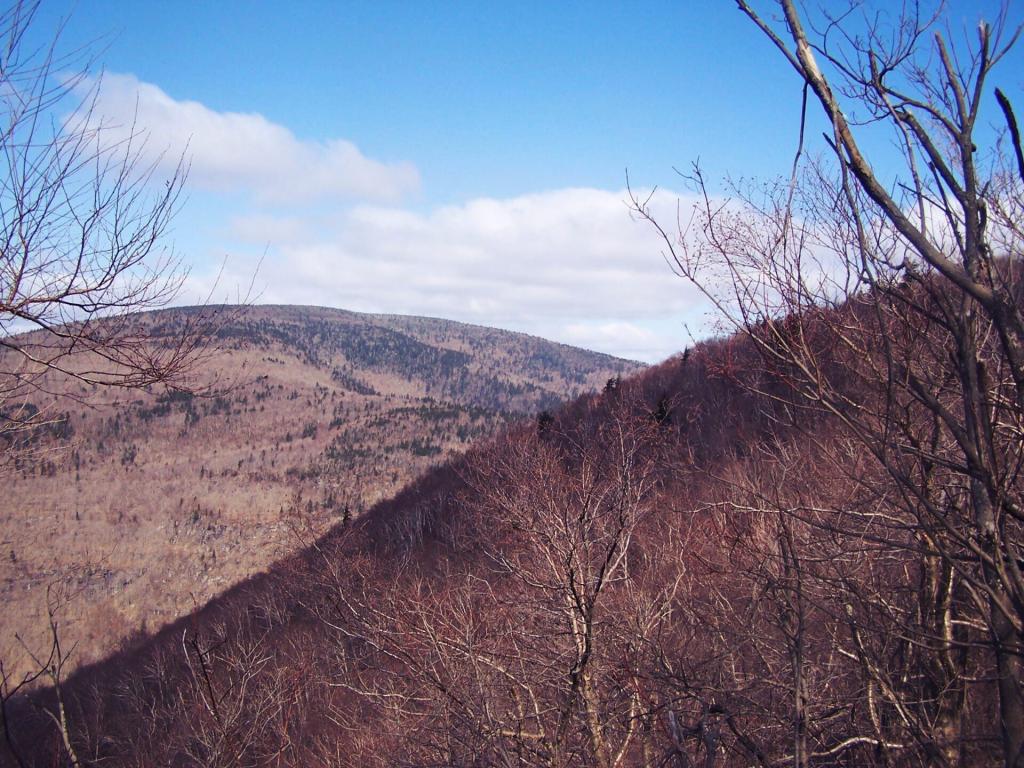
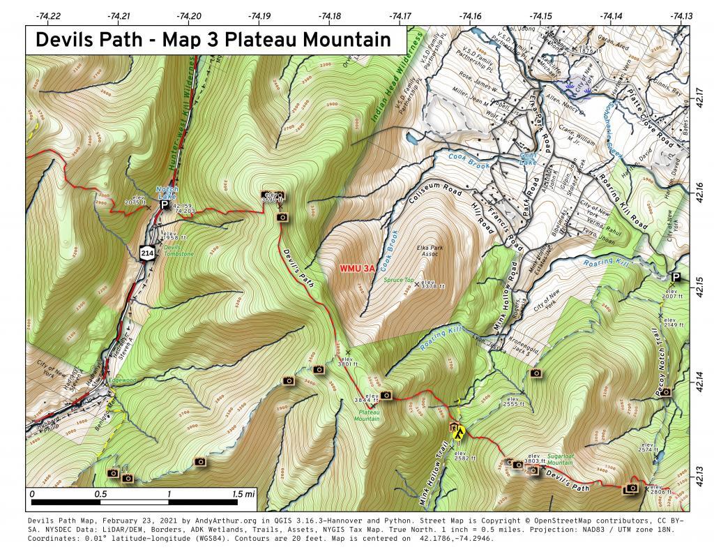
Devil’s Path

The Devil’s Path is the name of a mountain range and hiking trail in the Greene County portion of New York’s Catskill Mountains. The mountains commonly considered to be part of the Devil’s Path are, from west to east, West Kill, Hunter, Plateau, Sugarloaf, Twin, and Indian Head.

The name comes from early settlers of the region, who believed the range’s craggy cliffs were specially built by the devil so that he alone could climb them and occasionally retreat from the world of men. Today, they are famous for the deep gaps between them, which get lower in elevation as the mountains between them get higher when proceeding westward on the hiking trail.

The mountains and the land around them were acquired by the state as Forest Preserve and made part of the Catskill Park in the 1920s and ’30s. Today the area is managed by the New York State Department of Environmental Conservation as the Indian Head Wilderness Area.

http://en.wikipedia.org/wiki/Devil’s_Path_(hiking_trail)

Stoppel Point

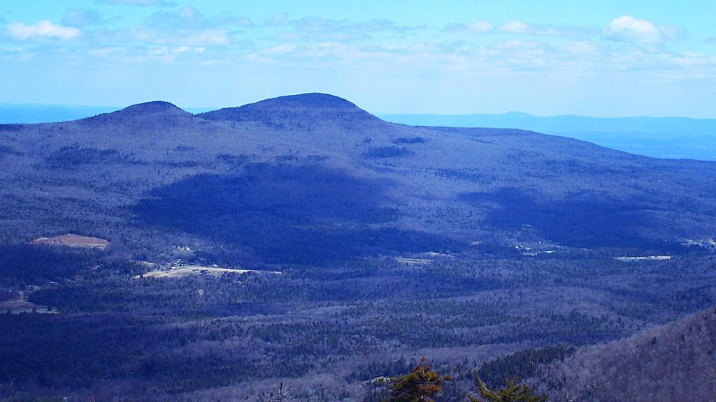
This is Stoppel Point, taken from Plateau Mountain. Stoppel Point is a nice hike from North-South Lake, with great views of the Hudson Valley.

Taken on Sunday April 12, 2009 at Plateau Mountain.

Nail Through a Horses Head

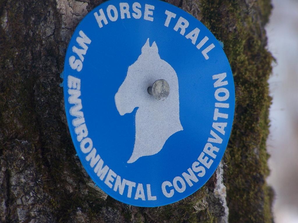
I guess the NYSDEC Ranger doesn't like horses, or these markers where badly designed. Then on cross-country ski trails, the poor skiers get a nail put somewhere quite painful for a guy.

Taken on Sunday February 21, 2010 at Hunter Mountain.