Most of the Pharoah Lake Trail follows an old woods road
As seen on this 1895 topographic map.
As seen on this 1895 topographic map.
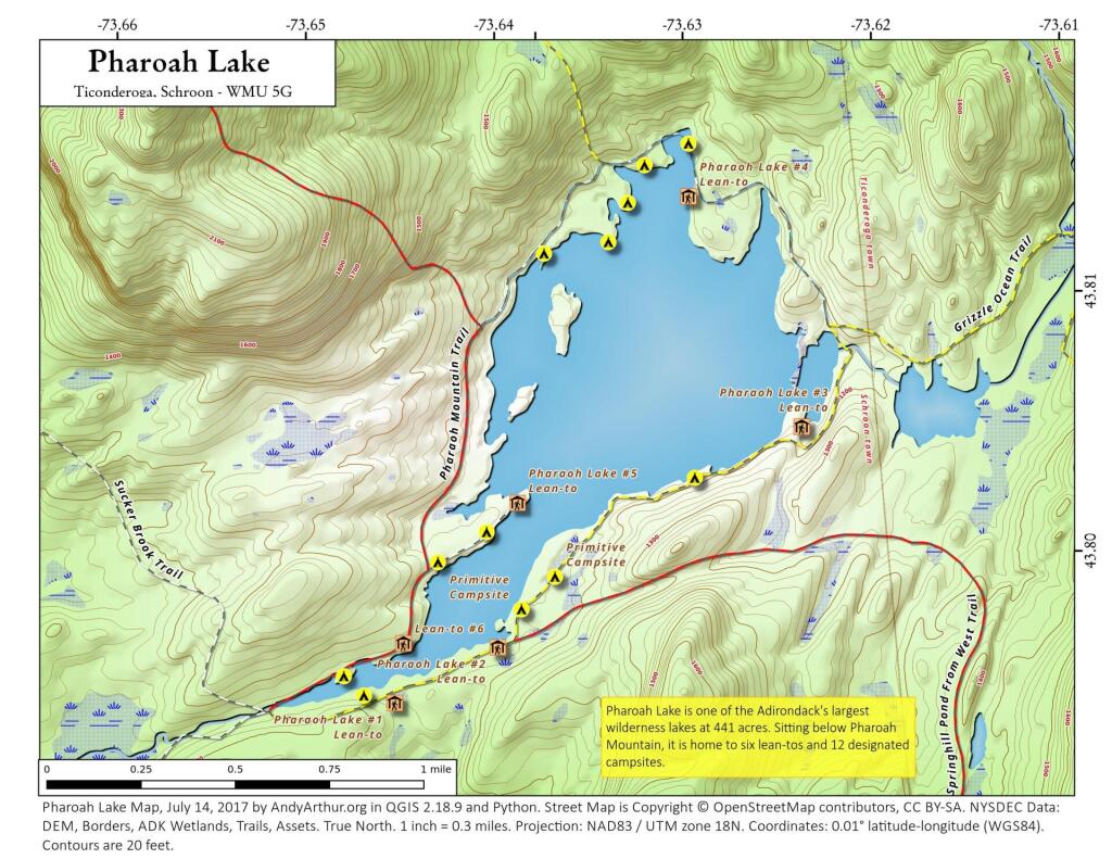
Updated map of Pharoah Lake with campsites based on the latest data dump from the NYSDEC. As of this summer, the bridge over the outlet (southern tip) of Pharoah Lake is closed for repairs, so one must go around the lake to get to the northern shore of the lake from the Pharoah Lake Trail from Pharoah Road/Beaver Dam Road in Schroon.
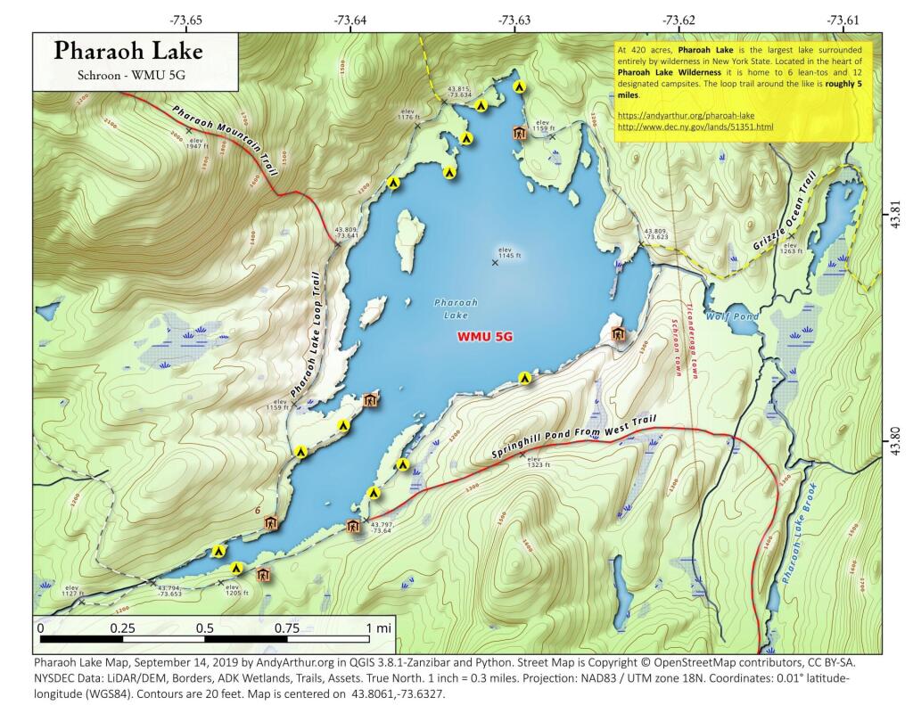
At 420 acres, Pharoah Lake is the largest lake surrounded entirely by wilderness in New York State. Located in the heart of Pharoah Lake Wilderness it is home to 6 lean-tos and 12 designated campsites. The loop trail around the like is roughly 5 miles.
https://andyarthur.org/pharoah-lake
http://www.dec.ny.gov/lands/51351.html
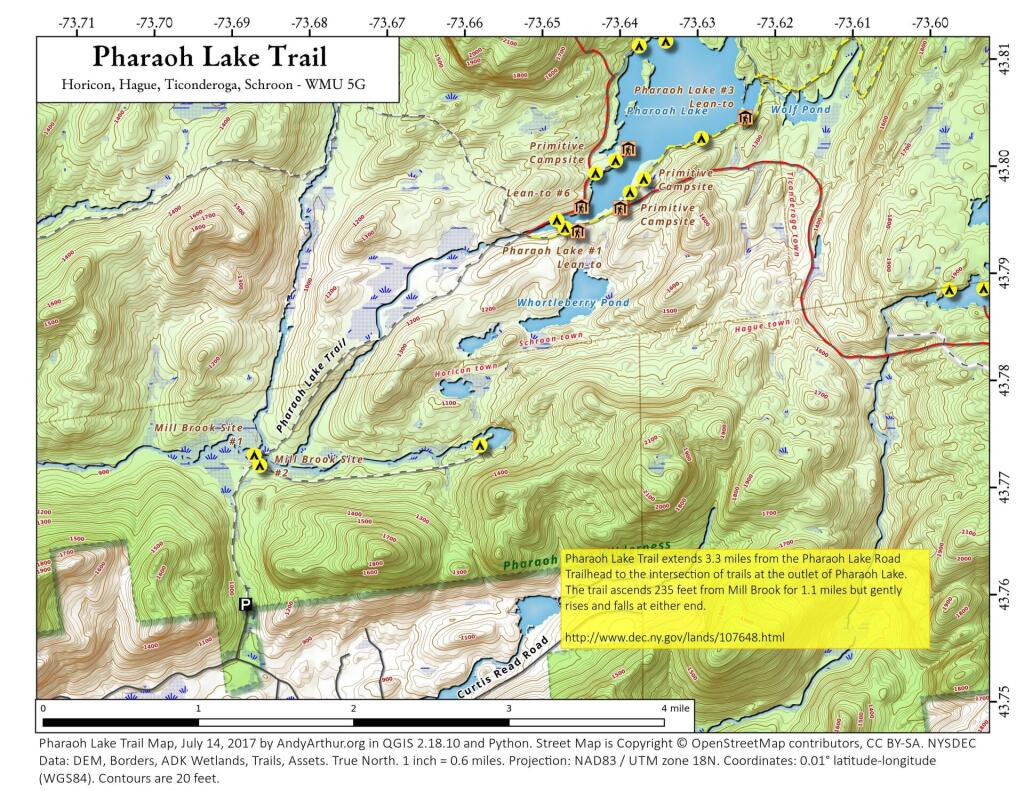
The most popular way to access Pharoah Lake is via the Pharoah Lake Trail off of Pharoah Road and Beaver Pond Road in Schroon. The Pharaoh Lake Trail extends 3.3 miles from the Pharaoh Lake Road Trailhead to the intersection of trails at the outlet of Pharaoh Lake. There is no access to the north shore at this point, due to the bridge over Pharoah Lake Brook being closed at this time.