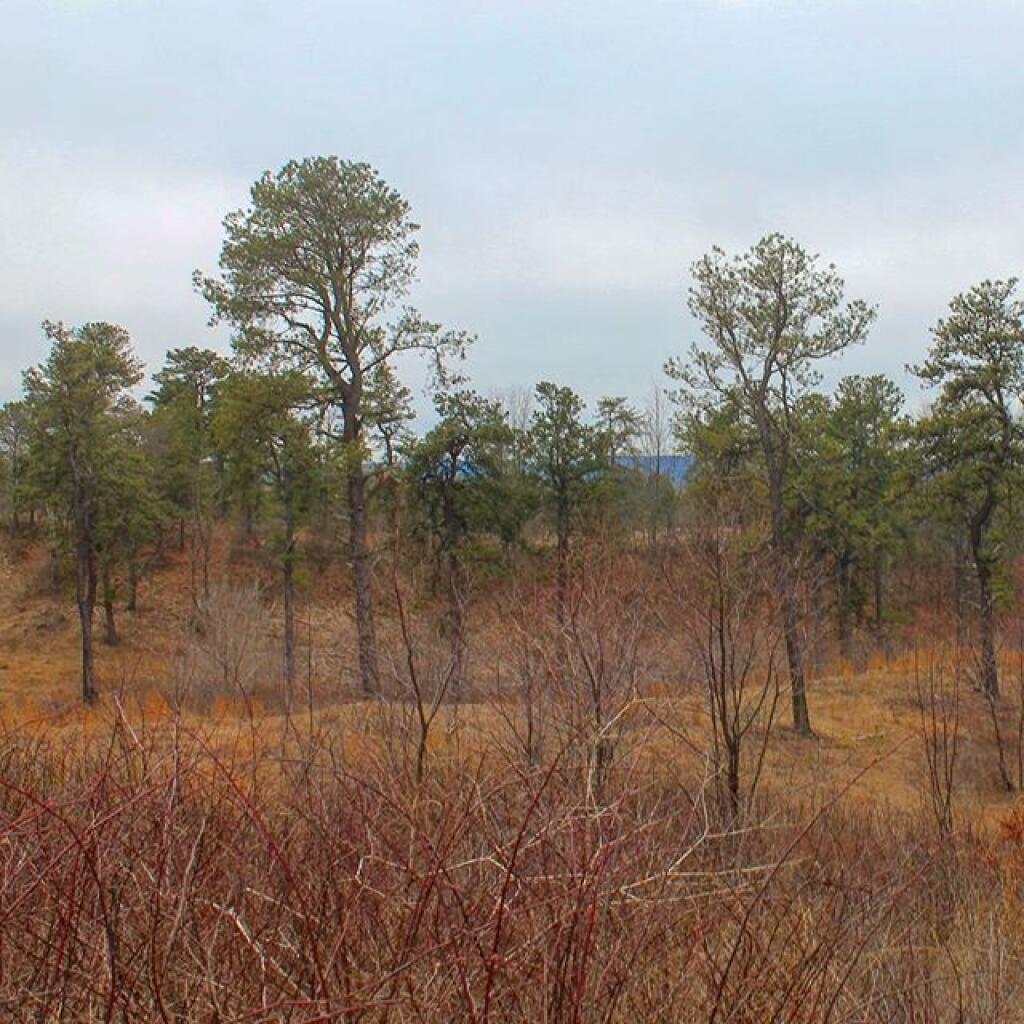
Albany Pine Bush

The Albany Pine Bush, referred to locally as the Pine Bush, is one of the largest of the 20 inland pine barrens in the world, and is centrally located in New York’s Capital District within Albany and Schenectady counties, between the cities of Albany and Schenectady. The Albany Pine Bush was formed thousands of years ago, following the drainage of Glacial Lake Albany.

The Albany Pine Bush is the sole remaining undeveloped portion of a pine barrens that once covered over 40 square miles (100 km2), and is “one of the best remaining examples of an inland pine barrens ecosystem in the world.” Today it includes all parcels of the Albany Pine Bush Preserve (a state nature preserve spanning 3,200 acres (1,300 ha)), the properties that connect these protected parcels, and some of the surrounding areas that abut the preserve. The 135-acre (55 ha) Woodlawn Preserve and surrounding areas in Schenectady County are the western sections of the Pine Bush and are separated from the Albany Pine Bush Preserve in Albany County.

The Pine Bush has been a historical, cultural, and environmental asset to the Capital District and Hudson Valley regions of New York. Pioneers moving west passed through the pine barrens, which later became the site of the first passenger railroad in the United States. The Pine Bush is also home to the Karner Blue butterfly, an endangered species first identified by Vladimir Nabokov in 1944 using a type specimen from the Pine Bush.

Barrens

The blue skies, for a while, was a refreshing change on this most mild of early spring mornings.

Taken on Saturday March 30, 2019 at Albany Pine Bush.
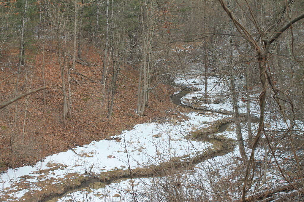
Eastern Albany Pine Bush Summits Over 325 Feet

This map shows the 300 or so points in the Albany Pine Bush Study Area, that are above 325 feet in elevation and are a prominence around the surrounding land. The landfill is the highest peak at 432 feet above sea level, while Overlook Dune near the Albany Pine Bush Discovery Center tops out at 374 feet above sea level. The highest dune can be seen from the Traux Trailhead on Kings Road, which tops out 390 feet above sea level.

Data Source: Albany County LIDAR Digital Elevation Models. Dune peaks obtained by using the GRASS plugin in QGIS with r.param.scale, method=feature, then r.reclass to remove anything but value=6 to create peaks, then r.tovect to convert to vector areas, then used zonal statistics to find the maximum value on the peak, then extracted the centroids of the polygons.