Search Results for: city beer hall

Another work week draws to a close with the holiday party today ๐Ÿคถ

One week until the start of the Christmas Weekend and two until New Years Eve Weekend. Both weeks will be abbreviated as I plan to take off next Friday and the following Monday and Tuesday after Christmas where I work are holidays. Lot of work projects on my desk as I pack up my office and get ready to do a trip out to Madison County next week. Today is Bill of Rights Day and also the 56th anniversary of the Silver Bridge Disaster down in Point Pleasant, WV.

Good morning! Happy Friday. Only two more left this year. Mostly clear at the freezing point ๐ŸŒ… in Delmar, NY. There is a south-southeast breeze at 6 mph. ๐Ÿƒ. Going to be a nice day. Will be a bit cold for riding into work but I’ve done it in much colder weather for sure. Time goes by so quickly it seems.

The ride to work ๐Ÿšฒ was pleasant and if leave early from the party ๐ŸŽ‰ I’ll be able to ride home after getting a beer ๐Ÿป at City Beer Hall. I haven’t decided what’s for dinner tonight, last night fried up some left over riggis from last week’s Sunday dinner with corn, butternut squash, tofu, mushrooms and onions. Not too bad. Had some more of that rye bread I made up. Maybe I should stop frying things up, but it’s so good especially with some spices, and a little avocado oil isn’t the most unhealthy thing ever. You need some fats in your diet to absorb fat soluble vitamins, and omega-3 fats are the healthier option to do so.

Today will be sunny ๐ŸŒž, with a high of 50 degrees at 1pm. 12 degrees above normal, which is similar to a typical day around November 15th. South wind 6 to 16 mph becoming northwest in the afternoon. A year ago, we had mostly sunny skies in the morning with some clearing in the afternoon. The high last year was 33 degrees. The record high of 61 was set in 2015. 8.2 inches of snow fell back in 1968.โ„

The cookies ๐Ÿช I baked for cookie share day were kind of disappointing in my book, rather bland and too tart. The whole wheat flour I used was grainy, the stevia wasn’t sweet enough and had an after taste not balancing out the cranberries well. ๐Ÿ’ I need to experiment with other sweeteners like monk fruit, or maybe honey or pure maple syrup, or just plain old sugar. Not everything has to be perfectly healthy, though I don’t want to get in the habit of consuming large amounts of unhealthy sugar, though I guess it’s somewhat balanced by the whole-wheat red flour adding fiber. Truth is I’ve kind of gotten to really dislike the taste of stevia — I first got into it for sweetening lemonade in the summer as a healthy low-calorie alternative to beer while camping, but the after taste it leaves in my mouth is kind of yucky, and I don’t like how it tastes with baking those cookies.

Solar noon ๐ŸŒž is at 11:51 am with sun having an altitude of 24.1° from the due south horizon (-46.7° vs. 6/21). A six foot person will cast a 13.4 foot shadow today compared to 2.2 feet on the first day of summer. The golden hour ๐Ÿ… starts at 3:38 pm with the sun in the southwest (231°). ๐Ÿ“ธ The sunset is in the west-southwest (239°) with the sun dropping below the horizon at 4:23 pm after setting for 3 minutes and 24 seconds with dusk around 4:54 pm, which is 14 seconds later than yesterday. ๐ŸŒ‡ At dusk you’ll see the Waxing Crescent ๐ŸŒ’ Moon in the south-southwest (213°) at an altitude of 15° from the horizon, 228,509 miles away. ๐Ÿš€ The best time to look at the stars is after 5:31 pm. At sunset, look for clear skies ๐ŸŒ„ and temperatures around 47 degrees. There will be a northwest breeze at 13 mph. Today will have 9 hours and 7 minutes of daytime, a decrease of 30 seconds over yesterday.

Tonight will have increasing clouds โ˜, with a low of 34 degrees at 5am. 11 degrees above normal, which is similar to a typical night around November 9th. Northwest wind around 7 mph becoming northeast after midnight. In 2022, we had cloudy skies in the evening, which became light rain by the early hours of the morning. It got down to 33 degrees. The record low of -11 occurred back in 1917.

It’s annoying having that broken burner on my stove, โ™จ๏ธ so I need to get that part this weekend. I am pretty sure it’s a standard 6 inch burner, and I can get that at Lowes for $11 so I am not going to bother my landlord. I’ll replace the drip trays again, which after about 3 or 4 years have burned through again. I really enjoy cooking, ๐Ÿ‘ฉ‍๐Ÿณ so I want to make sure my stove is in top shape, especially as I often find myself using all four burners, and that’s the largest burner on my stove.

On December 15, 1967, the Silver Bridge collapsed under the weight of rush-hour traffic, resulting in the deaths of 46 people. Two of the victims were never found. ๐ŸŒ‰ The Silver Bridge was an eyebar-chain suspension bridge built in 1928 and named for the color of its aluminum paint. The bridge carried U.S. Route 35 over the Ohio River, connecting Point Pleasant, West Virginia, and Gallipolis, Ohio. Investigation of the wreckage pointed to the cause of the collapse being the failure of a single eyebar in a suspension chain, due to a small defect 0.1 inches (2.5 mm) deep. Analysis showed that the bridge was carrying much heavier loads than it had originally been designed for and had been poorly maintained. The collapsed bridge was replaced by the Silver Memorial Bridge, which was completed in 1969.

Also, today in 2000, was an the end of an era at the infamous Chernobyl Power Plant. Reactor No. 4 was the site of the Chernobyl disaster in 1986, and the power plant is now within a large restricted area known as the Chernobyl Exclusion Zone. โš› Both the zone and the former power plant are administered by the State Agency of Ukraine on Exclusion Zone Management. The three remaining reactors remained operational after the accident; all three were eventually shut down by 2000, and the plant remains in the process of decommissioning as of 2019. Nuclear clean-up is scheduled for completion in 2065.

Tomorrow will be partly sunny ๐ŸŒž, with a high of 45 degrees at 12pm. Seven degrees above normal, which is similar to a typical day around November 27th. West wind 6 to 8 mph becoming north in the afternoon. A year ago, we had mostly sunny skies in the morning with some clearing in the afternoon. The high last year was 35 degrees. The record high of 61 was set in 2021. 9.5 inches of snow fell back in 1981.โ„

Planning on riding to the French’s Mills ๐Ÿšฒ and maybe the Pine Bush tomorrow. Should be a good day for a nice ride. Also need to put the hub caps back on my truck. I am thinking either Saturday night to go shopping and get the replacement burner or maybe Sunday morning. Depends how tired I am from lots of biking.

Looking ahead to Sunday, rain likely, mainly after 1pm. โ˜” Cloudy, with a high near 47. Southeast wind 7 to 10 mph. Chance of precipitation is 60%. New precipitation amounts of less than a tenth of an inch possible. Typical average high for the weekend is 38 degrees.

Sunday going to the Nutcracker ๐Ÿ‘ช with the family, that is after going grocery shopping early in the morning. Then probably bake some bread later on in the day. ๐Ÿž And head to bed fairly early.

Looking ahead to longer days and ultimately summer, next Friday is Days are Getting Longer โ˜€๏ธ when the sun will be setting at 4:27 pm with dusk at 4:57 pm. By then we’ve already gained almost five minutes in the evening. First full day of winter. But probably won’t feel that way. On that day in 2022, we had partly cloudy, rain showers and temperatures between 34 and 19 degrees. Typically, the high temperature is 36 degrees. We hit a record high of 60 back in 1990.
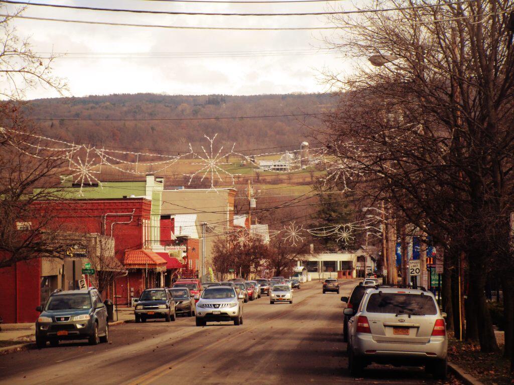
 Downtown

February 9, 2019 Night

Good evening! Clear and 20 degrees in Delmar. There is a west-northwest breeze at 8 mph. 🍃. Things will start to thaw out at Wednesday around 8 am. 🌡๏ธ Cool night but reasonable for February. I probably would have gone for a walk tonight but my headphones were dead and I was working on debugging the code for the lights in my bedroom. Finally got most of the bugs worked out.
Tonight will be mostly clear 🌃, with a low of 14 degrees at 3am. Two degrees below normal, which is similiar to a typical night around January 27th. Maximum wind chill around 10 at 10pm; Northwest wind 5 to 8 mph. In 2018, we had light snow in the evening, which became light rain by the early hours of the morning. It got down to 30 degrees. The record low of -21 occurred back in 1948.

Tomorrow will be partly sunny 🌞, with a high of 30 degrees at 2pm. Three degrees below normal, which is similiar to a typical day around January 22nd. West wind 3 to 7 mph. A year ago, we had cloudy in the morning, which became light snow by afternoon. The high last year was 43 degrees. The record high of 53 was set in 1955. 4.0 inches of snow fell back in 1892.โ„

Tomorrow night will have a chance of light snow, mainly between 8pm and 3am. Mostly cloudy 🌨, with a low of 16 degrees at 6am. One degree below normal, which is similiar to a typical night around February 8th. Maximum wind chill around 23 at 9pm; Light northwest wind. Chance of precipitation is 30%. New snow accumulation of less than a half inch possible. In 2018, we had light snow in the evening, which became light rain by the early hours of the morning. It got down to 29 degrees. The record low of -18 occurred back in 1962.

After work on Friday I went to Dove and Deer and was very unimpressed by the swanky bar. 🍺 Over priced in my book, none of the relatively affordable bar food, and it just felt weird wearing my Carharrt in there. Not my kind of place, I doubt I’ll go back. I had two Coors Light beer and I was hammered. I don’t drink much anymore so a beer or two can get me very drunk. I was sad they didn’t have Utica Club like City Beer Hall. I have a special thing for UC after working out in Utica one summer. Coors Light is horse piss but cheap.

I’ve come to the conclusion that I won the war on the ants. It’s been over a week since I saw the last one. For a while they were bad, I was whiping a ton off the counter everytime I went into the kitchen but now they disappeared as fast as they came. 🐜 Glad that’s been resolved.

Finally worked most of the bugs out of the code for the light controller I’m building. I kept running into issues processing the Bluetooth strings that are communicated across my bedroom and then getting all the timing right for the virtual sunset and sunrise. :idea:All that’s done now, it’s onto the additional features and writing the Bluetooth Android phone app which I don’t expect to be too difficult as I previously wrote one.

I decided with the wind and the cold to stay home today. 🏃I did walk down to the library and then for a walk around the Swift Preserve. I bought some milk. At home I worked on some maps and a whole bunch of other random projects. I’m kind of glad I stayed home, it allows me to save money and I don’t have to worry about driving places. It’s just easier to be home. 🏡 I’m looking forward to having the lights come on ever so gently come Monday morning.

In four weeks on March 9 the sun will be setting at 5:55 pm,🌄 which is 35 minutes and 11 seconds later then tonight. In 2018 on that day, we had snow showers, partly cloudy and temperatures between 37 and 27 degrees. Typically, you have temperatures between 41 and 23 degrees. The record high of 81 degrees was set back in 2016. I went out truck cap camping at Betty Brook the next day and it was pretty nice – ice free and quite warm. The next morning started daylight savings time. I remember having to keep an eye on my phone with concerns over the state budget.

I’ve been having a lot of trouble sleeping lately as I often do in late winter. 😵 I took a sleeping pill and am planning to sleep in late again tomorrow. I’m hoping with the lights set to dim at 10:10 pm each night I’ll get in the habit of getting to sleep a bit earlier going forward. 💤 Some of those dreams come morning are pretty wild and I hate waking up at five in the morning and not being able to get back to sleep. But I’m sure once the windows are open and I’m able to spend some nights in the wilderness sleeping will improve, it always does.

Looking ahead, there are 11 weeks until Arbor Day 🌳 when the sun will be setting at 7:51 pm with dusk at 8:21 pm (Daylight Savings Time). On that day in 2018, we had a rather cold day with rain showers and partly cloudy skies with temperatures between 50 and 36 degrees. Doesn’t sound that bad but it should be warming up by then. Typically, the high temperature is 63 degrees. We hit a record high of 91 back in 1962.

Looking ahead, Arbor Day 🌳 is in 11 weeks, 8 PM Sunset 🌇 is in 12 weeks, June 🍹 is in 16 weeks, Average High is 80 🏖 is in 19 weeks, Hottest Time of the Year 😅 is in 22 weeks and Average High Falls To 79 ๏ธDegrees โ›ฑ๏ธ๏ธ๏ธ is in 28 weeks.

Photo.2014.02.08 18.40.17

March 22, 2018 Night

Good evening! Partly clear🌌 and 32 degrees in Delmar, NY. There is a northwest breeze at 10 mph. 🍃. Not a half bad evening, having just got back from my evening walk. Even though I’m not under 35 anymore I went to the Young Democrats meeting at City Beer Hall because I like drinking Utica Club at City Beer Hall. I really got into drinking Utica Club out there in Utica but that’s hard to find in the Albany area. I’m a Democrat but sometimes I’m cynical about some of the things my party does to appeal to its base.

Tonight will be mostly cloudy โ˜, with a low of 25 degrees at 5am. Three degrees below normal. Maximum wind chill around 24 at 10pm; Northwest wind 5 to 10 mph. In 2017, we had clear skies. It got down to 13 degrees. The record low of -4 occurred back in 1875.

Tonight will have a Waxing Crescent Moon 🌒 with 34% illuminated with the moon setting at 12:53 am. It was a pretty nice moon when I was out walking, I’d consider sitting out back if it was a bit warmer. The First Quarter Moon will be tomorrow with a chance of showers. The Blue Moon 🌝 is on Friday, March 30th. The sun will rise at 6:53 am with the first light at 6:25 am, which is one minute and 45 seconds earlier than yesterday. 🌄 Tonight will have 11 hours and 41 minutes of darkness, a decrease of 2 minutes and 56 seconds over last night.

Tomorrow will have some scattered snow showers, mainly after 4pm. Mostly cloudy โ„ , with a high of 41 degrees at 3pm. Six degrees below normal. Northwest wind 6 to 15 mph. Chance of precipitation is 30%. New snow accumulation of less than a half inch possible. A year ago, we had mostly sunny skies. The high last year was 37 degrees. The record high of 80 was set in 1938. 2.7 inches of snow fell back in 2005.โ„

I wish we could have more sun tomorrow but I’m fine with it at least getting nicer for the weekend. 😎 But I’m really looking forward to it finally warming up and getting nicer come April.

Cool but fairly sunny this weekend. 😨Saturday, partly sunny, with a high near 41. North wind 6 to 9 mph. Sunday, scattered snow showers, mainly before 8am. Partly sunny, with a high near 41. Chance of precipitation is 30%. Typical average high for the weekend is 48 degrees.

Saturday is my niece’s birthday party so I’ll probably visit my parents that day. 🎂Sunday I am thinking about going out with the Young Democrats to Utica to knock on doors for Anthony Brindisi.โ˜‘📃 I think he can win that Congressional seat and I worked on one of his races and long time ago and was quite impressed by him. I think it’s petitioning they are doing right now but I don’t know as congress is a different schedule than state races. It would be fun to volunteer on a political campaign, as except for David Bissember in Troy last year I’ve not volunteered for a political campaign in a long time. 📮When you work in politics professionally, it’s rare to get to actually volunteer going door to door. Plus it sounds like a fun day.

If the Democrats win back the house then it will be good for keeping the president accountable. 🏰Policy wise I’m not sure the Senate is really on the table based on the number of seats Democrats have to defend themselves but we’d never get sixty votes and the president still has the veto pen.โœ’ But I’m fine with that as both parties need an effective check on one and another. I have my views on guns but I also believe federal action is important on climate change and automobile emissions. The problem isn’t rednecks rolling coal or having bonfires its the millions who live in the cities and suburbs.

I was looking today at my pay stub trying to judge the impact of deferring more of my compensation, and found for the first three months of the year I averaged $900 a month in payroll taxes – social security, federal and state taxes. 💰Seems like a lot of money when you figure your rent is only $650 a month. 🏡 Maybe I need to start saving more money for retirement pre tax and less as post tax Roth IRA or general investment. I do like the idea of a Roth IRA being free of taxes when mature but maybe I’m paying too much in taxes especially if I’m looking at moving eventually to a non-state tax state🌄 for my off grid cabin eventually. The states that have lax gun and open burning laws to say nothing of low property taxes and no zoning are also low state income tax. The Trump tax cuts helped a lot with my taxes and increased take home pay but not having children or student loans, and being a renter I get killed by taxes. I do get paid fairly well with my seniority but most of the money goes towards retirement and savings for that day when I can afford to buy land and a off grid cabin. It’s a dream a ways off but every dollar invested in market paper and FDIC savings is one dollar closer. Markets will go up and down but once your in and you wait it will grow eventually.

Yesterday I got the Warm White LEDs in the mail I ordered from China. ๐Ÿ’กThey seem fine but I couldn’t test them as I didn’t have a USB breakout board soldered together ready for use. I’m thinking of using them for several projects including a decorative wall star for my niece’s bedroom. I just need free time, some more foam board and silver sparkly paint.🌠 And some time to solder it together. But I’m thinking I could make something special as a gift. Lately I’ve been so busy with work and everything else, and it’s been quite emotionally draining. Just a lot going on in the office.

In four weeks on April 19 the sun will be setting at 7:42 pm,🌄 which is 31 minutes and 57 seconds later then tonight. In 2017 on that day, we had rain, drizzle, cloudy skies and temperatures between 54 and 45 degrees. Typically, you have temperatures between 60 and 39 degrees. The record high of 92 degrees was set back in 1976.

Looking ahead, Average High is 80 🏖 is in 3 months and Thanksgiving 🦃 is in 8 months.

🇺🇸🦅Only 63 days remain until the start of Memorial Day Weekend!🦅🇺🇸

February 10, 2016 Evening

Good evening. Currently mostly cloudy and 32 degrees in Albany.

Tonight we have a Waxing Cresent Moon with 19% illuminated. Look west, it’s quite a pretty little sliver. It will set at 7:51 pm. Full moon on February 22nd.

Tonight we will have a chance of snow showers, mainly before 4am. Cloudy, with a low around 23. West wind 8 to 13 mph. Chance of precipitation is 40%. New snow accumulation of less than a half inch possible.

In four weeks on March 9 the sun will be setting at 5:55 pm, which is 35 minutes later then tonight. There are 4 months, 6 days until Fresh Veggies Day. when the sun will be setting at 8:35 pm. Fresh veggies at the farmers market are something I really enjoy, along with those late sunsets.

Went out to City Beer Hall for one beer for the Albany County Young Democrats’ monthly happy hour.
It was nice and I would have stayed for another drink but I was out of cash. I never got around to the ATM and was trying to save some money at any rate, because despite getting paid today, finances look tight due to an unexpected payment I had to make.

I was annoyed to discover that National Grid stopped my auto-pay and I owe them two months back pay and three dollars in interest. It’s paid now but it should have never happened in the first place. Their website is awful clunky, and was slow. The first try, it defaulted to an old bank account then the site wouldn’t reload. I finally paid it off with the right account, and I’m waiting for the money to clear, so I can be in good standing to be reinstated for auto-pay for the next eight years. My finances are so stressed and this isn’t helping it much at all. It was so damn frustrating.

Eventually when I move out of the city, I’m going to forgo grid electricity
in favor of a low electricity lifestyle from solar cells, batteries, and a gas generator. Concrete floors, a wood stove and propane instant hot water heater, as I don’t need or want all that fancy obnoxious technology all the obnoxious suburbanite kids have now. I’d rather have land and no neat neighbors then a fancy suburbanite home.

Probably heading down to the library in a bit once I get home and have some dinner. I have some updates I’m working on for the blog. Maybe I should start doing my taxes too. We will see. I like being lazy and staying home but there are limits on what I can do with my Smartphone or non-wifi laptop.

USGS Topographic Maps – Sullivan to Yates County

Counties: Albany to Delaware / Dutchess to Livingston / Madison to Otsego / Putnam to Suffolk / Sullivan to Yates

Browse Topographic Maps: Full State / Historical USGS Topographic Maps

Sullivan County

PDF (50-60 MB Download) Historical USGS Topo Maps State Lands (Links to DEC Website) Towns (Percent of Town’s Area)
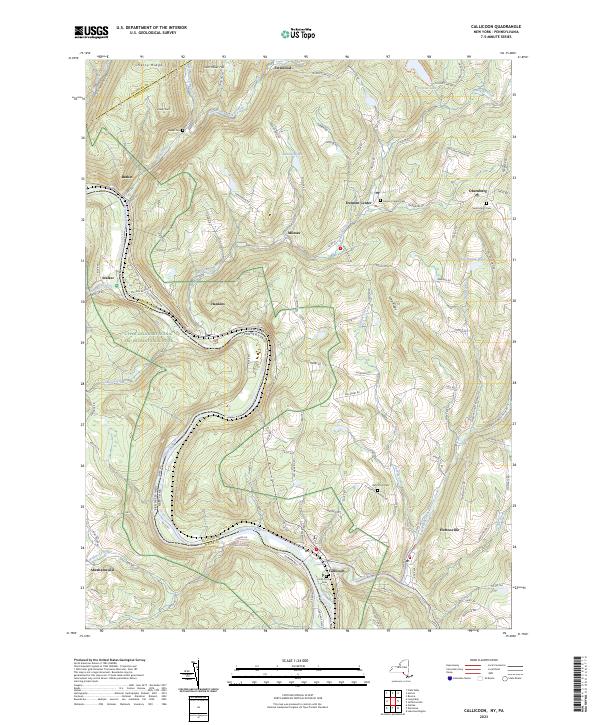
Current Callicoon GeoPDF Map
1965 Map No. 123143, 1965 Map No. 123144, 1965 Map No. 123145, 1992 Map No. 137140 Callicoon Creek North Branch Fishing Access, Crystal Lake Wild Forest, Delaware River Waterway Access Callicoon (3%), Delaware (39%), Fremont (55%), Hancock (1%)
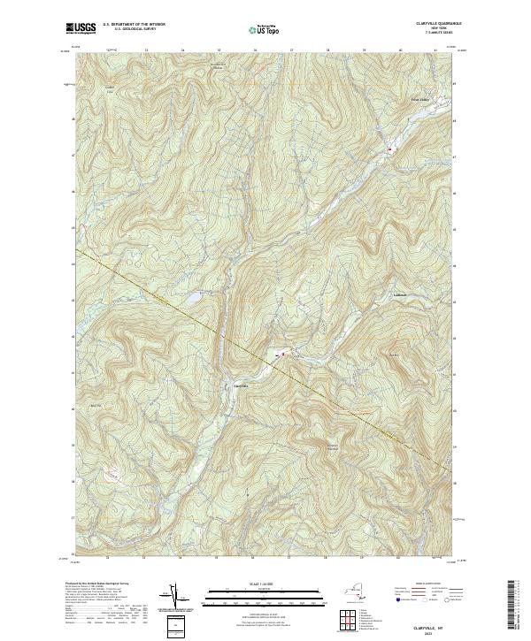
Current Claryville GeoPDF Map
1966 Map No. 137174, 1966 Map No. 137635, 1966 Map No. 137636 Sundown Wild Forest, Willowemoc Wild Forest, Slide Mountain Wilderness, Big Indian Wilderness Denning (31%), Hardenburgh (1%), Neversink (25%)
Current Damascus GeoPDF Map
NA NA Cochecton (43%), Delaware (12%), Tusten (7%)
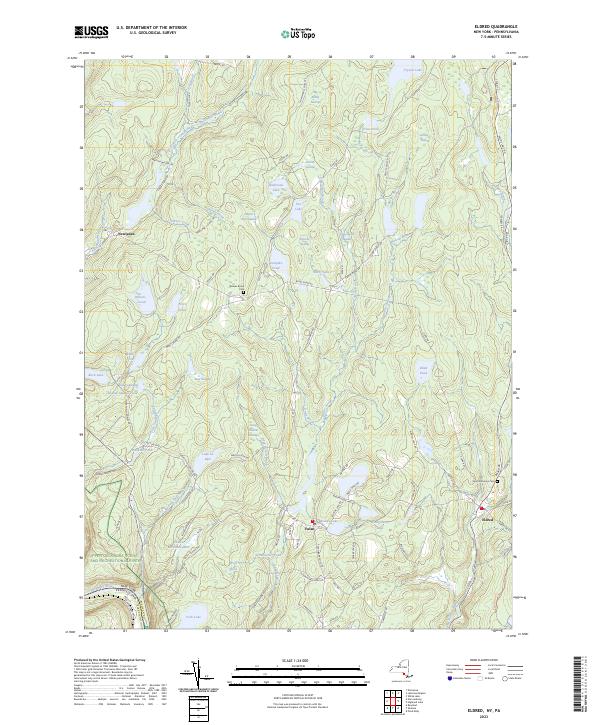
Current Eldred GeoPDF Map
1967 Map No. 138051, 1967 Map No. 138052 Sullivan FP Detached Parcel, Hickok Brook Multiple Use Area Bethel (3%), Cochecton (2%), Highland (43%), Tusten (61%)
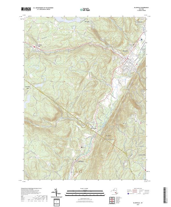
Current Ellenville GeoPDF Map
1942 Map No. 138073, 1942 Map No. 138074, 1969 Map No. 137354, 1969 Map No. 137355, 1969 Map No. 138078 Ulster FP Detached Parcel, Sandburg Creek Fishing Access, Shawangunk Ridge State Forest, Roosa Gap State Forest, Painter Hill Multiple Use Area, Oak Ridge Multiple Use Area, West Branch Beerkill Fishing Access Fallsburg (0%), Mamakating (18%), Shawangunk (3%), Wawarsing (27%)
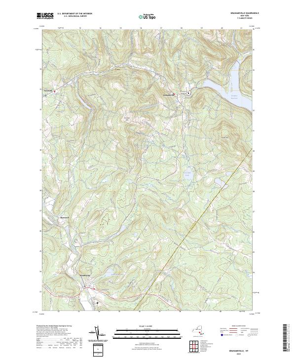
Current Grahamsville GeoPDF Map
1966 Map No. 129597, 1982 Map No. 129598 Sullivan FP Detached Parcel, Neversink River Fishing Access, Sundown Wild Forest Fallsburg (22%), Neversink (33%), Wawarsing (7%)
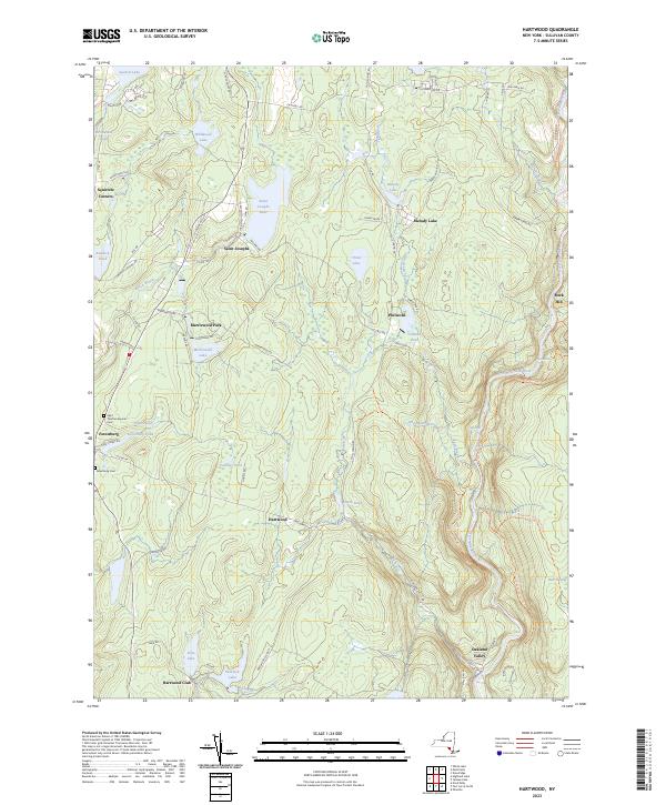
Current Hartwood GeoPDF Map
1966 Map No. 129830, 1966 Map No. 129831 Neversink River Unique Area Forestburgh (74%), Thompson (16%)
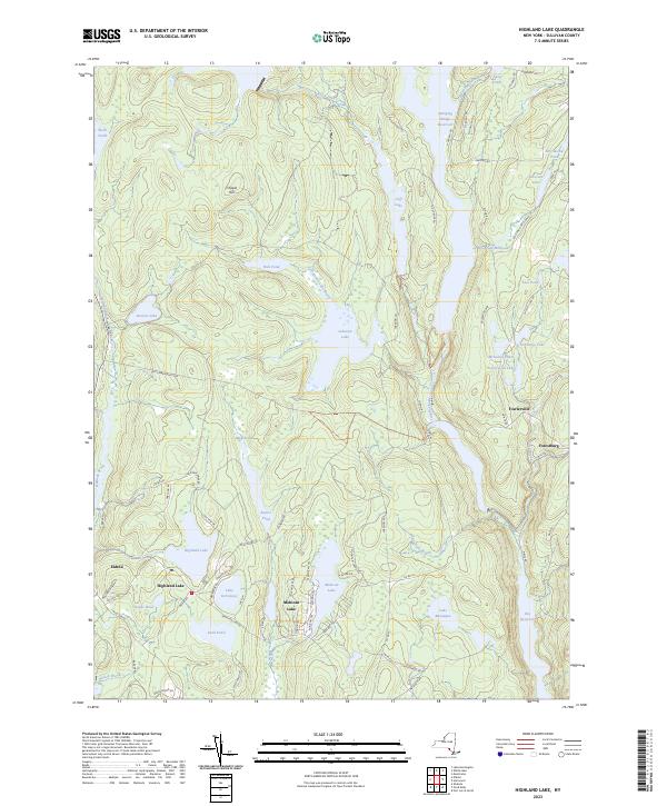
Current Highland Lake GeoPDF Map
1967 Map No. 129920, 1967 Map No. 137250 Sullivan FP Detached Parcel, Hickok Brook Multiple Use Area, Mongaup Valley WMA Bethel (6%), Forestburgh (15%), Highland (39%), Lumberland (38%), Thompson (3%)
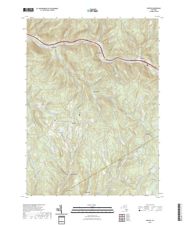
Current Horton GeoPDF Map
1965 Map No. 129786, 1965 Map No. 129787, 1982 Map No. 129785 Hancock FP Detached Parcel, Crystal Lake Wild Forest Colchester (5%), Fremont (14%), Hancock (26%)
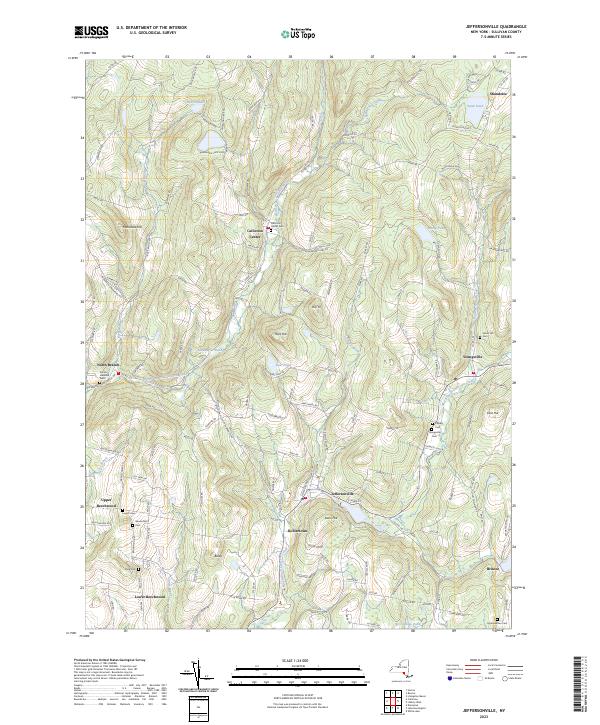
Current Jeffersonville GeoPDF Map
1965 Map No. 129990, 1965 Map No. 129991 Callicoon Creek North Branch Fishing Access Bethel (4%), Callicoon (74%), Delaware (25%), Fremont (12%), Liberty (1%)
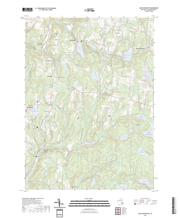
Current Lake Huntington GeoPDF Map
1967 Map No. 130046, 1967 Map No. 137308 Lake Huntington Waterway Access Bethel (29%), Cochecton (55%), Delaware (23%), Tusten (2%)
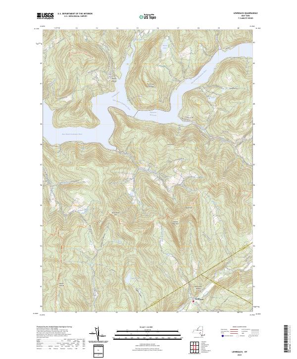
Current Lewbeach GeoPDF Map
1965 Map No. 130250, 1965 Map No. 130251, 1965 Map No. 130253, 1965 Map No. 137316 Andes FP Detached Parcel, Murphy Hill State Forest, Delaware Wild Forest, Dry Brook Ridge Wild Forest, Little Pond Campground Andes (34%), Colchester (9%), Hardenburgh (2%), Middletown (0%), Rockland (2%)
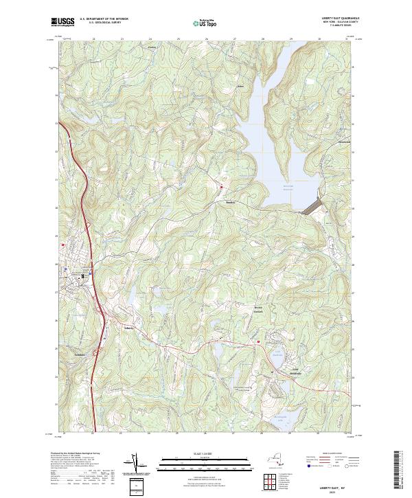
Current Liberty East GeoPDF Map
1966 Map No. 130264, 1966 Map No. 130265 NA Fallsburg (22%), Liberty (30%), Neversink (16%)
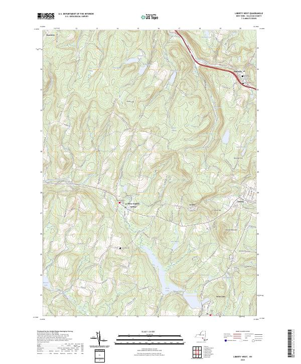
Current Liberty West GeoPDF Map
1965 Map No. 130266, 1965 Map No. 137357, 1965 Map No. 137358 Little Beaverkill Fishing Access Bethel (3%), Callicoon (8%), Liberty (61%), Rockland (0%)
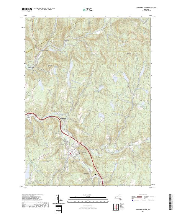
Current Livingston Manor GeoPDF Map
1965 Map No. 130296, 1965 Map No. 130297, 1965 Map No. 137365 Little Beaverkill Fishing Access, Willowemoc Creek Fishing Access, Willowemoc Creek Waterway Access, Delaware Wild Forest, Willowemoc Wild Forest, Beaverkill Campground Callicoon (3%), Colchester (2%), Liberty (3%), Rockland (51%)
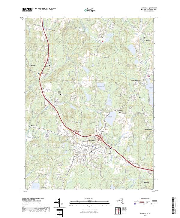
Current Monticello GeoPDF Map
1966 Map No. 130634, 1966 Map No. 130635, 1966 Map No. 130636 NA Bethel (1%), Fallsburg (13%), Liberty (3%), Thompson (49%)
Current Narrowsburg GeoPDF Map
1968 Map No. 130762, 1994 Map No. 137396, 1997 Map No. 137398, 1997 Map No. 137400 NA Tusten (30%)
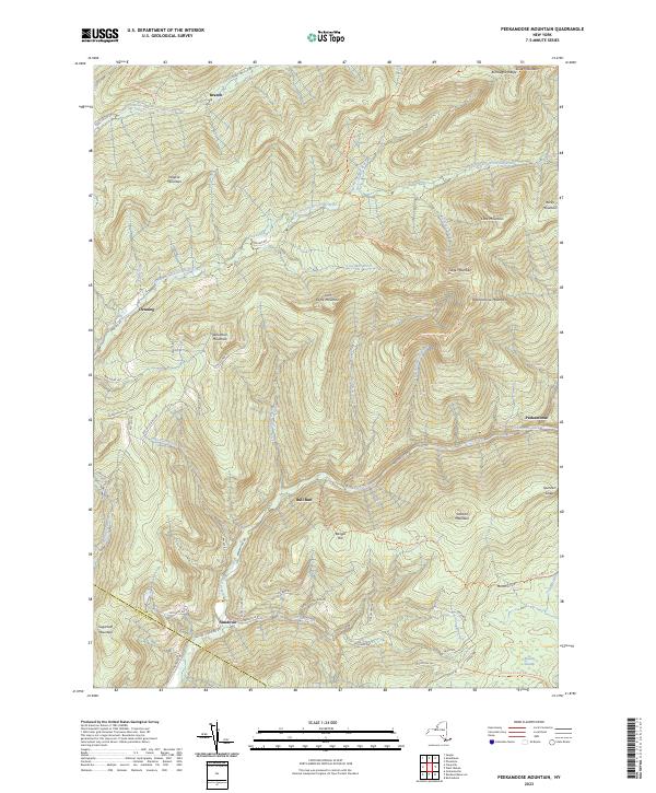
Current Peekamoose Mountain GeoPDF Map
1943 Map No. 128939, 1943 Map No. 128941 Sundown Wild Forest, Slide Mountain Wilderness, Big Indian Wilderness Denning (47%), Neversink (2%), Rochester (1%), Shandaken (2%), Wawarsing (0%)
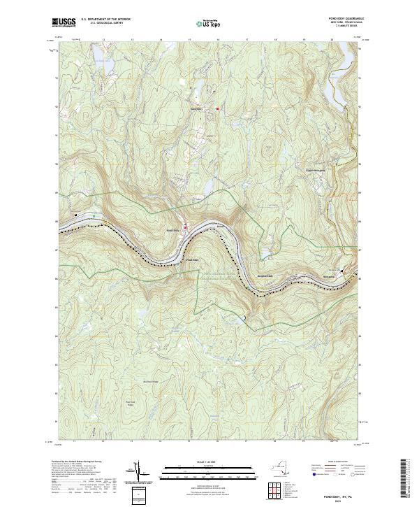
Current Pond Eddy GeoPDF Map
1965 Map No. 129064, 1965 Map No. 129065, 1965 Map No. 129066, 1965 Map No. 129067, 1965 Map No. 136816, 1992 Map No. 136817, 1997 Map No. 136818 Hickok Brook Multiple Use Area, Mongaup Valley WMA Deerpark (2%), Forestburgh (0%), Highland (1%), Lumberland (56%)
Current Port Jervis North GeoPDF Map
NA Cherry Island WMA, Huckleberry Ridge State Forest, Mongaup Valley WMA Deerpark (70%), Forestburgh (3%), Greenville (3%), Port Jervis city (68%)
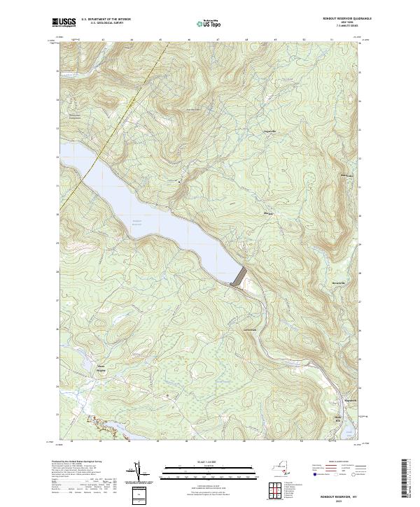
Current Rondout Reservoir GeoPDF Map
1969 Map No. 129207, 1969 Map No. 463445 Vernooy Kill State Forest, Sundown Wild Forest Denning (1%), Neversink (5%), Rochester (7%), Wawarsing (33%)
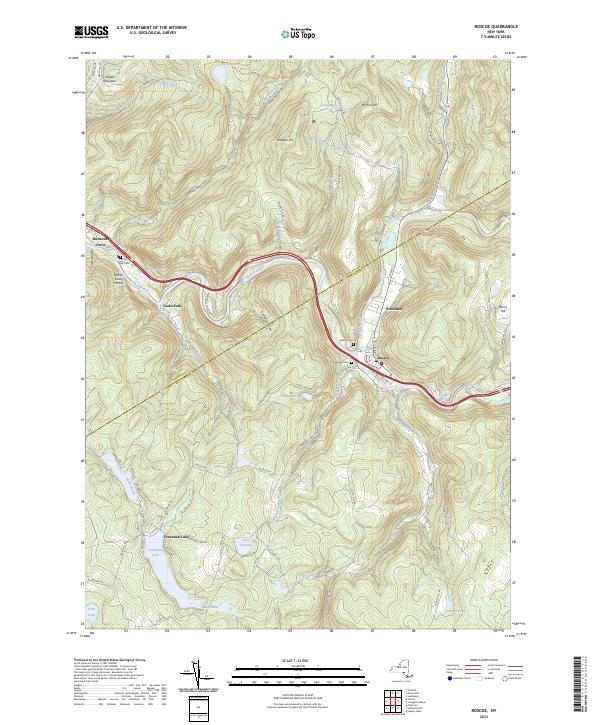
Current Roscoe GeoPDF Map
1965 Map No. 129208, 1965 Map No. 129209, 1965 Map No. 136874 Delaware County Scenic Resource, Colchester FP Detached Parcel, Delaware FP Detached Parcel, Beaverkill Fishing Access, Willowemoc Creek Fishing Access, Delaware Wild Forest, Willowemoc Wild Forest Callicoon (12%), Colchester (17%), Fremont (19%), Hancock (0%), Rockland (17%)
Current Shohola GeoPDF Map
NA Hickok Brook Multiple Use Area Highland (18%), Lumberland (5%)
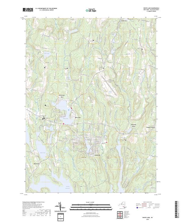
Current White Lake GeoPDF Map
1967 Map No. 140257, 1967 Map No. 140258 NA Bethel (54%), Liberty (1%), Thompson (8%)
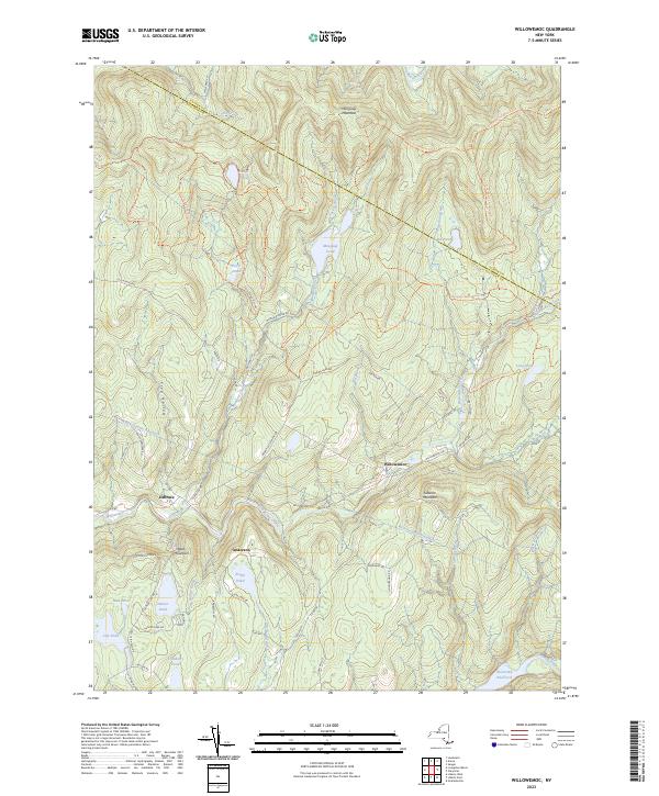
Current Willowemoc GeoPDF Map
1966 Map No. 137033, 1966 Map No. 140307, 1966 Map No. 140308, 1997 Map No. 137034 Willowemoc Wild Forest, Big Indian Wilderness, Mongaup Pond Campground Denning (5%), Hardenburgh (6%), Liberty (2%), Neversink (18%), Rockland (30%)
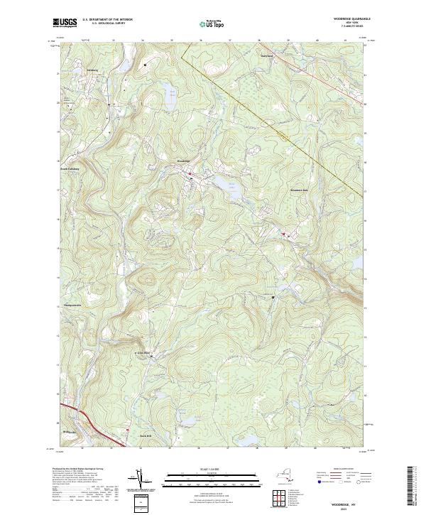
Current Woodridge GeoPDF Map
1966 Map No. 140376, 1966 Map No. 140377 Neversink River Fishing Access Fallsburg (43%), Mamakating (5%), Thompson (11%), Wawarsing (5%)
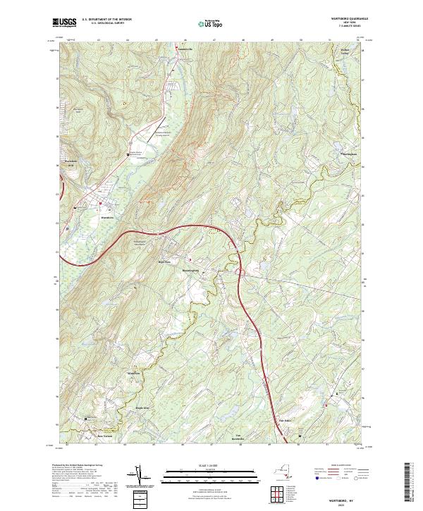
Current Wurtsboro GeoPDF Map
1943 Map No. 140385, 1943 Map No. 140386, 1969 Map No. 137046, 1969 Map No. 137047, 1969 Map No. 140387 Wurtsboro Ridge State Forest, Roosa Gap State Forest, Bashakill WMA Crawford (10%), Mamakating (36%), Mount Hope (3%), Shawangunk (1%), Wallkill (25%)
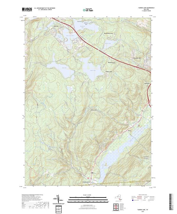
Current Yankee Lake GeoPDF Map
1966 Map No. 137050, 1966 Map No. 140391, 1966 Map No. 140392 Sullivan FP Detached Parcel, Neversink River Unique Area, Wolf Brook Multiple Use Area, Bashakill WMA Deerpark (0%), Forestburgh (7%), Mamakating (41%), Mount Hope (1%), Thompson (13%)

Tioga County

PDF (50-60 MB Download) Historical USGS Topo Maps State Lands (Links to DEC Website) Towns (Percent of Town’s Area)
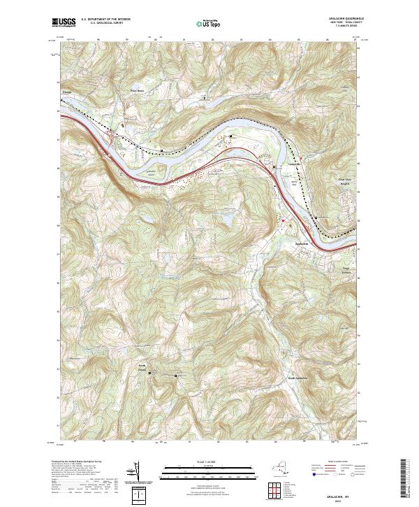
Current Apalachin GeoPDF Map
1956 Map No. 136670, 1956 Map No. 136671, 1969 Map No. 136672, 1969 Map No. 136673 NA Owego (53%)
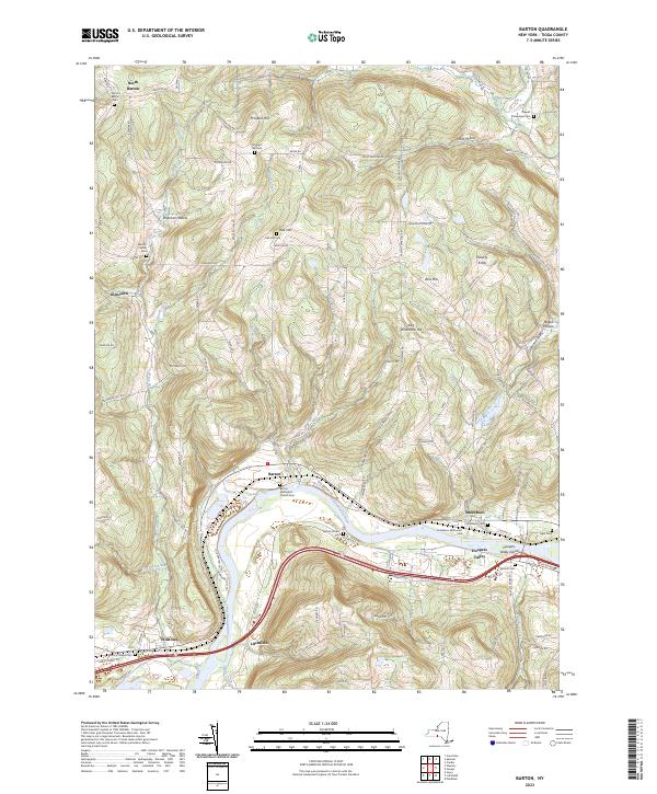
Current Barton GeoPDF Map
1953 Map No. 123188, 1969 Map No. 123189, 1969 Map No. 137091 Susquehanna River Waterway Access Barton (41%), Nichols (32%), Tioga (35%)
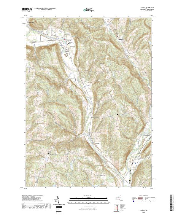
Current Candor GeoPDF Map
1956 Map No. 122778, 1969 Map No. 122779 NA Candor (44%), Newark Valley (0%), Owego (2%), Tioga (18%)
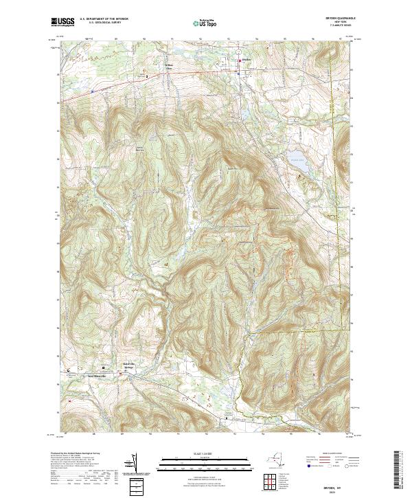
Current Dryden GeoPDF Map
1949 Map No. 137901, 1951 Map No. 137902, 1951 Map No. 137903, 1969 Map No. 137339, 1969 Map No. 137904, 1969 Map No. 137905 Dryden Lake Multiple Use Area, Robinson Hollow State Forest, Yellow Barn State Forest, Hammond Hill State Forest, West Branch Owego Creek Caroline (23%), Dryden (38%), Harford (6%), Richford (13%), Virgil (1%)
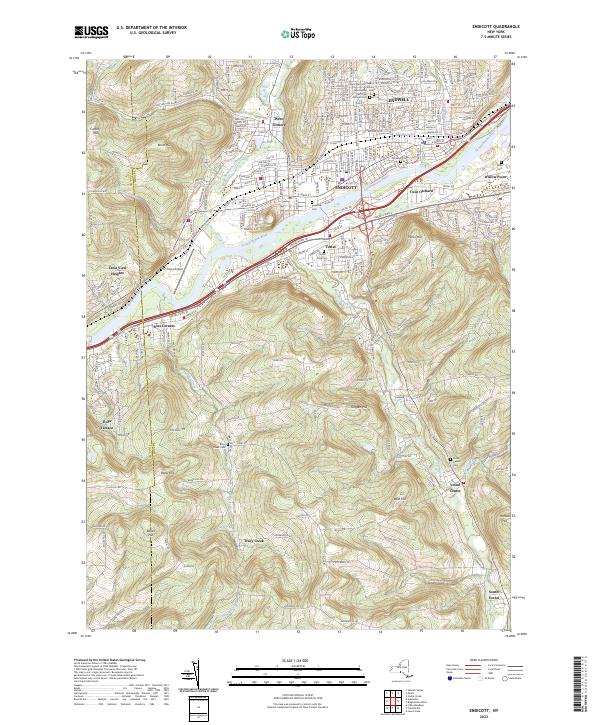
Current Endicott GeoPDF Map
1956 Map No. 138228, 1956 Map No. 138229, 1969 Map No. 137326, 1969 Map No. 138234, 1969 Map No. 138235 Tracy Creek State Forest Owego (7%), Union (37%), Vestal (67%)
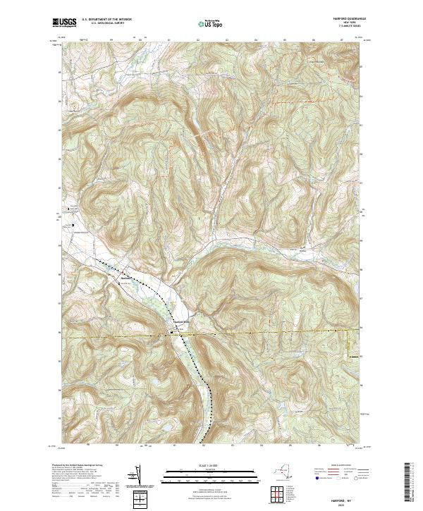
Current Harford GeoPDF Map
1949 Map No. 129714, 1951 Map No. 129715, 1976 Map No. 129716, 1976 Map No. 129717 Beaver Dam State Forest, Griggs Gulf State Forest, Michigan Hill State Forest, Robinson Hollow State Forest, Turkey Hill State Forest, James Kennedy State Forest Harford (94%), Lapeer (34%), Lisle (0%), Richford (39%), Virgil (18%)
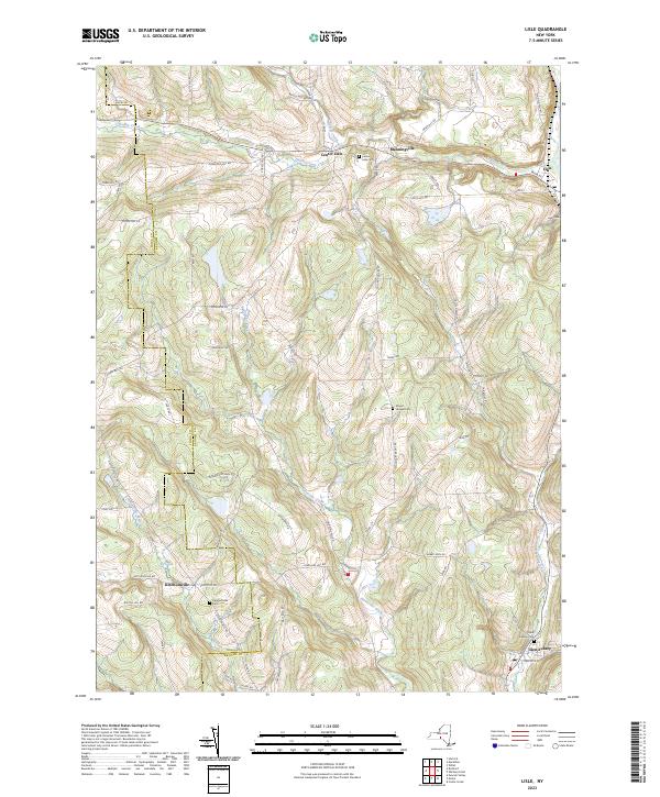
Current Lisle GeoPDF Map
1949 Map No. 130273, 1949 Map No. 130275, 1951 Map No. 130274 Ketchumville State Forest, Nanticoke Lake Multiple Use Area Berkshire (13%), Lisle (56%), Maine (5%), Nanticoke (73%), Newark Valley (7%), Richford (4%)
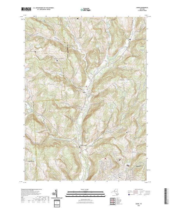
Current Maine GeoPDF Map
1956 Map No. 130418, 1956 Map No. 130419, 1969 Map No. 130420, 1969 Map No. 130421, 1969 Map No. 137425 Ketchumville State Forest, Nanticoke Creek Fishing Access Maine (69%), Nanticoke (2%), Newark Valley (18%), Owego (2%), Union (33%)
Current Newark Valley GeoPDF Map
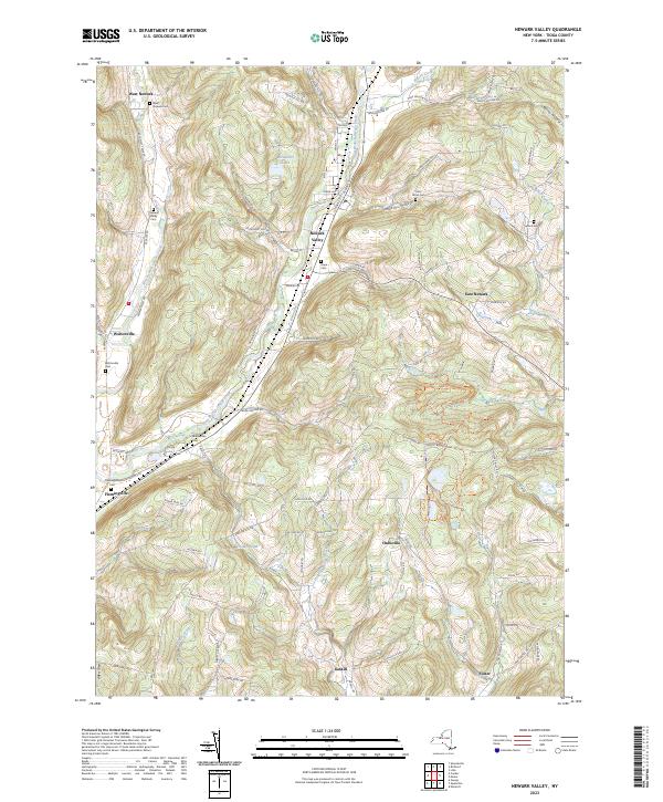
1956 Map No. 130818, 1969 Map No. 130819, 1969 Map No. 130820, 1969 Map No. 137407 Ketchumville State Forest, Oakley Corners State Forest Candor (3%), Newark Valley (53%), Owego (24%)
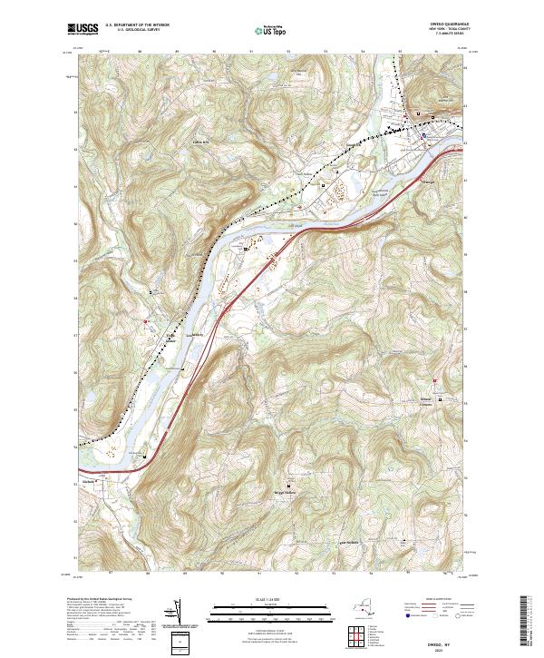
Current Owego GeoPDF Map
1956 Map No. 135949, 1969 Map No. 135950, 1969 Map No. 135951, 1969 Map No. 135952 NA Nichols (68%), Owego (11%), Tioga (36%)
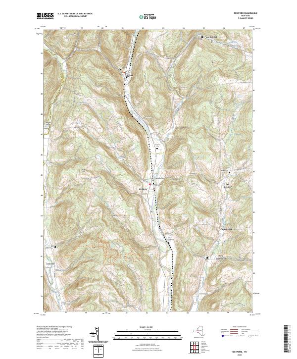
Current Richford GeoPDF Map
1950 Map No. 136064, 1950 Map No. 136065, 1950 Map No. 136066, 1950 Map No. 136856 East Branch Owego Creek Parking, Beaver Dam State Forest, Andersen Hill State Forest, Ketchumville State Forest, Turkey Hill State Forest, Potato Hill State Forest, Jenksville State Forest Berkshire (87%), Candor (1%), Caroline (2%), Newark Valley (22%), Richford (43%)
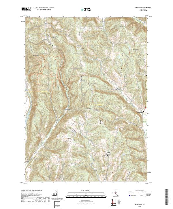
Current Speedsville GeoPDF Map
1949 Map No. 139827, 1951 Map No. 139828, 1969 Map No. 136930, 1969 Map No. 139829 Fairfield State Forest, Potato Hill State Forest, Shindagin Hollow State Forest Berkshire (0%), Candor (26%), Caroline (54%), Richford (1%)
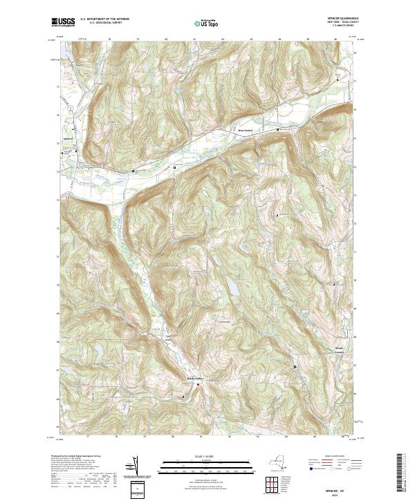
Current Spencer GeoPDF Map
1956 Map No. 139830, 1969 Map No. 139831, 1969 Map No. 139832, 1969 Map No. 139833 NA Barton (10%), Candor (15%), Spencer (56%), Tioga (12%)
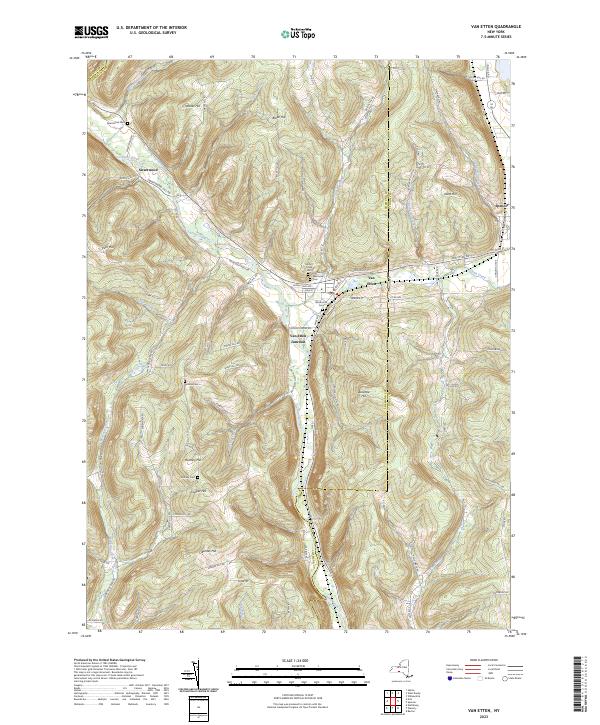
Current Van Etten GeoPDF Map
1954 Map No. 139471, 1969 Map No. 139472, 1969 Map No. 139473 NA Baldwin (5%), Barton (11%), Cayuta (0%), Erin (9%), Spencer (25%), Van Etten (75%)
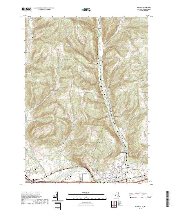
Current Waverly GeoPDF Map
1954 Map No. 140068, 1954 Map No. 140069, 1969 Map No. 136995, 1969 Map No. 140070, 1969 Map No. 140071 Maple Hill State Forest Baldwin (13%), Barton (38%), Chemung (58%)
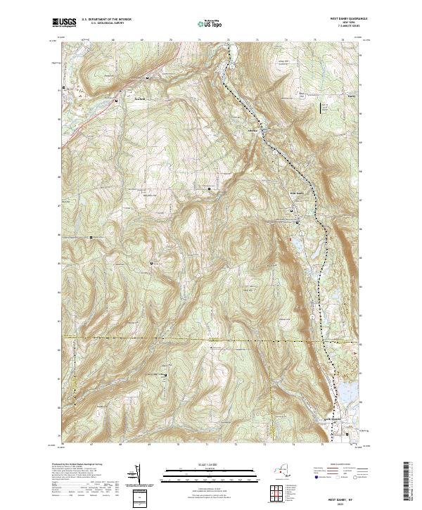
Current West Danby GeoPDF Map
1950 Map No. 140144, 1950 Map No. 140145, 1969 Map No. 140146, 1969 Map No. 140147 Danby State Forest Cayuta (3%), Danby (23%), Newfield (48%), Spencer (8%), Van Etten (23%)
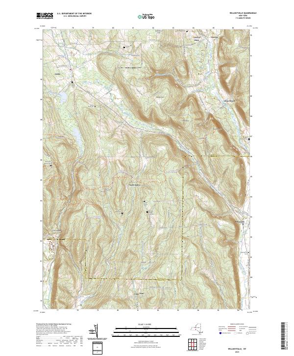
Current Willseyville GeoPDF Map
1949 Map No. 140329, 1949 Map No. 140330, 1951 Map No. 140331, 1969 Map No. 137038, 1969 Map No. 137039, 1969 Map No. 140332, 1969 Map No. 140333 Danby State Forest Candor (10%), Caroline (13%), Danby (61%), Spencer (11%)

Tompkins County

PDF (50-60 MB Download) Historical USGS Topo Maps State Lands (Links to DEC Website) Towns (Percent of Town’s Area)
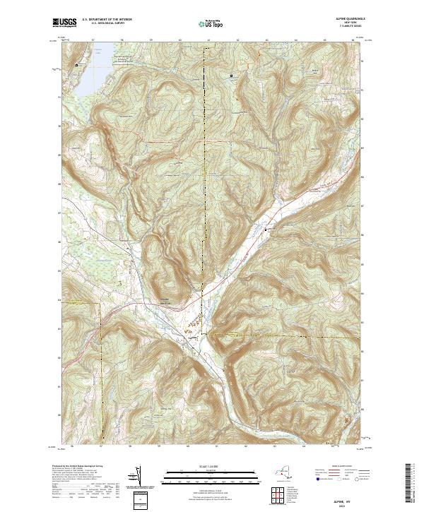
Current Alpine GeoPDF Map
1950 Map No. 136593, 1950 Map No. 136594, 1969 Map No. 136595, 1969 Map No. 136596, 1969 Map No. 137064 Newfield State Forest, Cliffside State Forest, Connecticut Hill WMA Catharine (45%), Cayuta (82%), Newfield (36%), Veteran (7%)
Current Dryden GeoPDF Map
1949 Map No. 137901, 1951 Map No. 137902, 1951 Map No. 137903, 1969 Map No. 137339, 1969 Map No. 137904, 1969 Map No. 137905 Dryden Lake Multiple Use Area, Robinson Hollow State Forest, Yellow Barn State Forest, Hammond Hill State Forest, West Branch Owego Creek Caroline (23%), Dryden (38%), Harford (6%), Richford (13%), Virgil (1%)
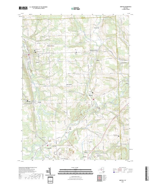
Current Groton GeoPDF Map
1942 Map No. 129649, 1942 Map No. 129650, 1970 Map No. 129654, 1970 Map No. 137236 NA Cortlandville (7%), Dryden (21%), Groton (58%), Locke (1%), Summerhill (4%), Virgil (4%)
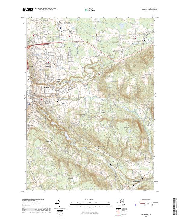
Current Ithaca East GeoPDF Map
1949 Map No. 130071, 1949 Map No. 130072, 1951 Map No. 130073, 1969 Map No. 130074, 1969 Map No. 130075, 1969 Map No. 137276 Reynolds Game Farm Caroline (8%), Danby (11%), Dryden (28%), Ithaca city (38%), Ithaca (42%), Lansing (5%)
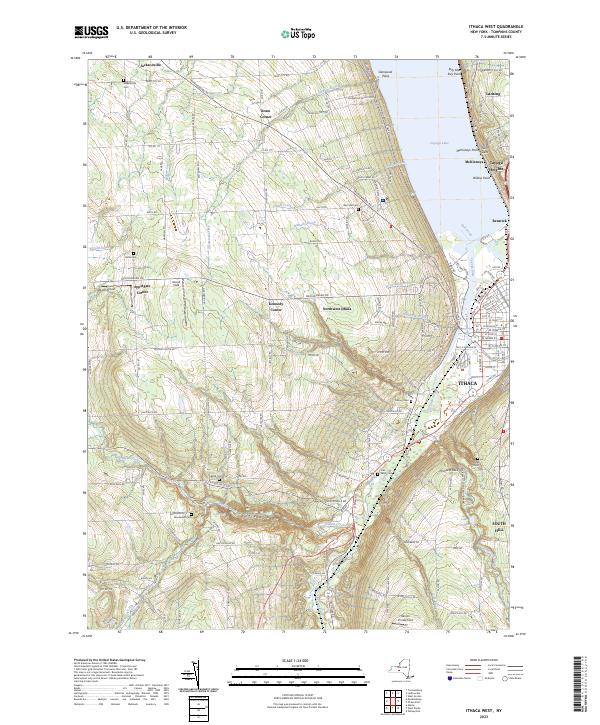
Current Ithaca West GeoPDF Map
1949 Map No. 130077, 1949 Map No. 130078, 1949 Map No. 130079, 1949 Map No. 130080, 1949 Map No. 130081, 1969 Map No. 130082, 1969 Map No. 137277, 1978 Map No. 130083 NA Danby (5%), Enfield (46%), Ithaca city (62%), Ithaca (58%), Lansing (3%), Newfield (10%), Ulysses (18%)
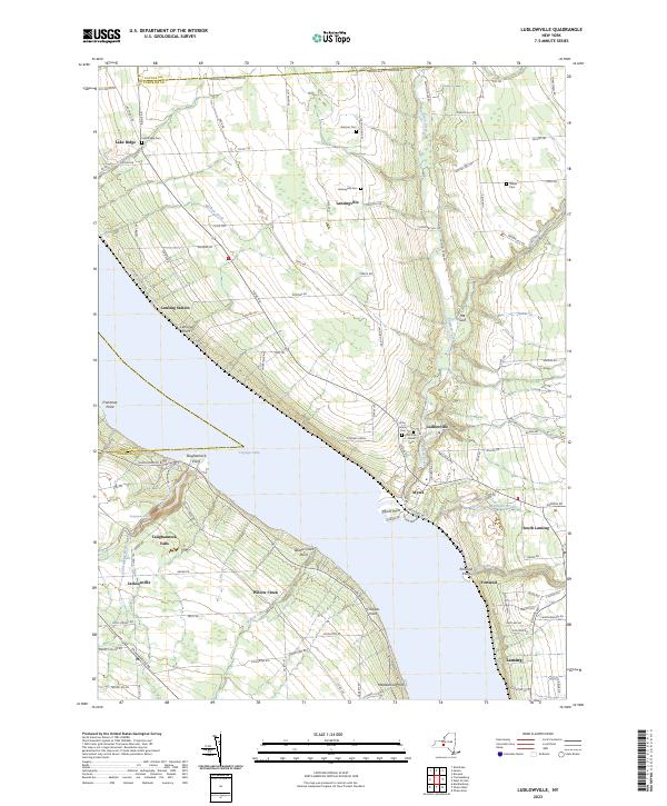
Current Ludlowville GeoPDF Map
1942 Map No. 130370, 1942 Map No. 130371, 1942 Map No. 130372, 1971 Map No. 130374, 1971 Map No. 137423 Myers Point Boat Launch Covert (4%), Genoa (1%), Lansing (57%), Ulysses (36%)
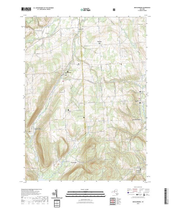
Current Mecklenburg GeoPDF Map
1950 Map No. 130516, 1950 Map No. 130517, 1950 Map No. 130518, 1969 Map No. 130519, 1969 Map No. 130520, 1969 Map No. 137441 Cayuta Lake Boat Launch, Connecticut Hill WMA Catharine (10%), Enfield (54%), Hector (21%), Newfield (6%), Ulysses (14%)
Current Richford GeoPDF Map
1950 Map No. 136064, 1950 Map No. 136065, 1950 Map No. 136066, 1950 Map No. 136856 East Branch Owego Creek Parking, Beaver Dam State Forest, Andersen Hill State Forest, Ketchumville State Forest, Turkey Hill State Forest, Potato Hill State Forest, Jenksville State Forest Berkshire (87%), Candor (1%), Caroline (2%), Newark Valley (22%), Richford (43%)
Current Speedsville GeoPDF Map
1949 Map No. 139827, 1951 Map No. 139828, 1969 Map No. 136930, 1969 Map No. 139829 Fairfield State Forest, Potato Hill State Forest, Shindagin Hollow State Forest Berkshire (0%), Candor (26%), Caroline (54%), Richford (1%)
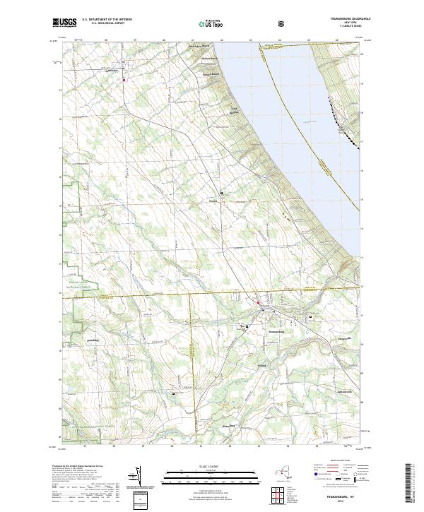
Current Trumansburg GeoPDF Map
1942 Map No. 139388, 1970 Map No. 136969, 1970 Map No. 139391 NA Covert (79%), Genoa (0%), Hector (8%), Lansing (6%), Ulysses (32%)
Current West Danby GeoPDF Map
1950 Map No. 140144, 1950 Map No. 140145, 1969 Map No. 140146, 1969 Map No. 140147 Danby State Forest Cayuta (3%), Danby (23%), Newfield (48%), Spencer (8%), Van Etten (23%)
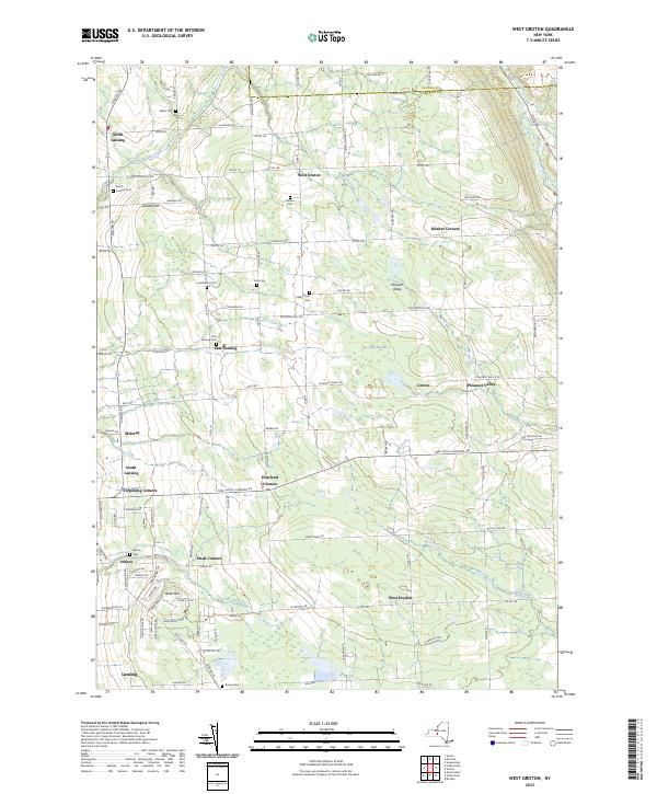
Current West Groton GeoPDF Map
1943 Map No. 140160, 1943 Map No. 140161, 1970 Map No. 140162, 1970 Map No. 140163 NA Dryden (14%), Groton (42%), Lansing (28%), Locke (6%)
Current Willseyville GeoPDF Map
1949 Map No. 140329, 1949 Map No. 140330, 1951 Map No. 140331, 1969 Map No. 137038, 1969 Map No. 137039, 1969 Map No. 140332, 1969 Map No. 140333 Danby State Forest Candor (10%), Caroline (13%), Danby (61%), Spencer (11%)

Ulster County

PDF (50-60 MB Download) Historical USGS Topo Maps State Lands (Links to DEC Website) Towns (Percent of Town’s Area)
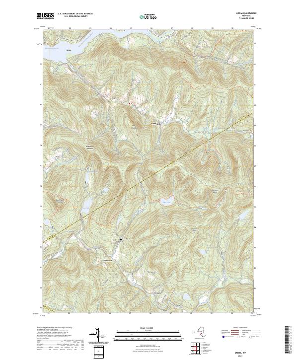
Current Arena GeoPDF Map
1945 Map No. 136684, 1945 Map No. 136685, 1945 Map No. 136686, 1945 Map No. 136690, 1946 Map No. 136687, 1946 Map No. 136689 Delaware Wild Forest, Willowemoc Wild Forest, Big Indian Wilderness, Balsam Lake Mountain Wild Forest, Dry Brook Ridge Wild Forest, Little Pond Campground Andes (9%), Hardenburgh (33%), Middletown (19%), Rockland (0%)
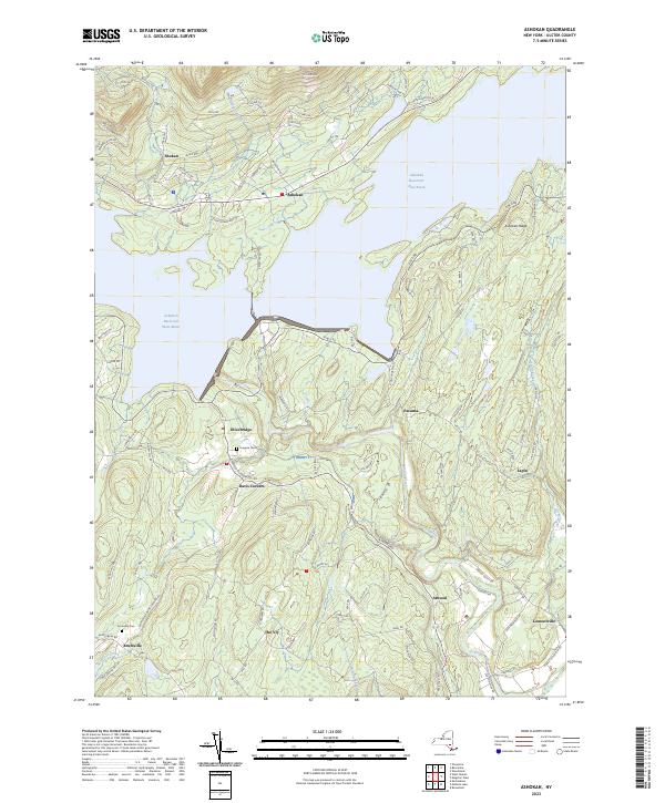
Current Ashokan GeoPDF Map
1942 Map No. 136708, 1942 Map No. 136711, 1964 Map No. 136712, 1964 Map No. 136713, 1964 Map No. 137080 Ulster FP Detached Parcel, Bluestone Wild Forest, Phoenicia – Mt. Tobias Wild Forest Hurley (32%), Marbletown (38%), Olive (36%)
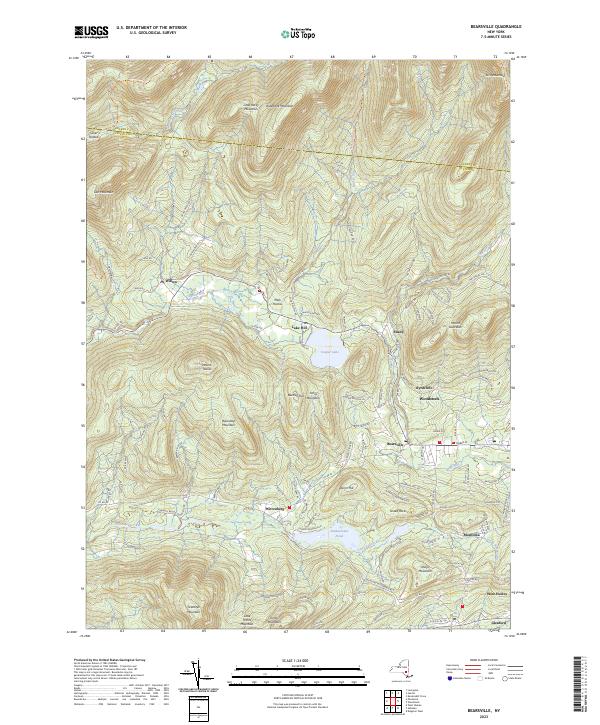
Current Bearsville GeoPDF Map
1945 Map No. 123225, 1945 Map No. 123226, 1945 Map No. 137092, 1946 Map No. 123228, 1997 Map No. 137094 Overlook Mountain Wild Forest, Phoenicia – Mt. Tobias Wild Forest, Indian Head Wilderness, Mink Hollow Primitive Bicycle Corridor, Kenneth L. Wilson Campground Hunter (10%), Hurley (8%), Olive (2%), Woodstock (62%)
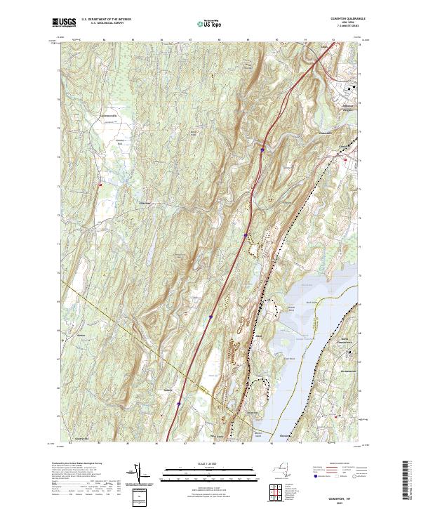
Current Cementon GeoPDF Map
1963 Map No. 122882, 1963 Map No. 122883, 1963 Map No. 122884, 1963 Map No. 137143 Seward’s Island, Catskill FP Detatched Parcel, Great Vly WMA Athens (0%), Cairo (0%), Catskill (68%), Germantown (29%), Saugerties (12%)
Current Claryville GeoPDF Map
1966 Map No. 137174, 1966 Map No. 137635, 1966 Map No. 137636 Sundown Wild Forest, Willowemoc Wild Forest, Slide Mountain Wilderness, Big Indian Wilderness Denning (31%), Hardenburgh (1%), Neversink (25%)
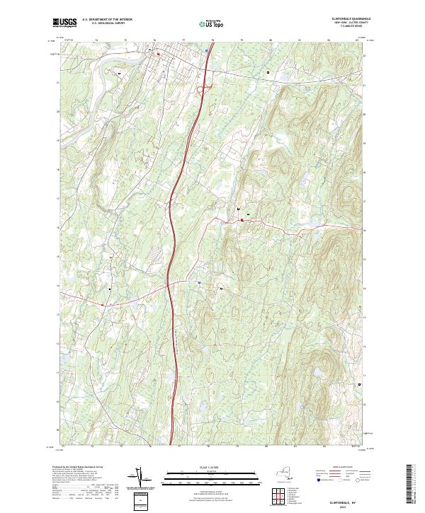
Current Clintondale GeoPDF Map
1957 Map No. 137765, 1957 Map No. 137766, 1957 Map No. 137767 New Paltz Office, Ulster FP Detached Parcel, Hemlock Ridge Multiple Use Area Gardiner (8%), Lloyd (33%), Marlborough (20%), New Paltz (32%), Plattekill (71%), Shawangunk (0%)
Current Ellenville GeoPDF Map
1942 Map No. 138073, 1942 Map No. 138074, 1969 Map No. 137354, 1969 Map No. 137355, 1969 Map No. 138078 Ulster FP Detached Parcel, Sandburg Creek Fishing Access, Shawangunk Ridge State Forest, Roosa Gap State Forest, Painter Hill Multiple Use Area, Oak Ridge Multiple Use Area, West Branch Beerkill Fishing Access Fallsburg (0%), Mamakating (18%), Shawangunk (3%), Wawarsing (27%)
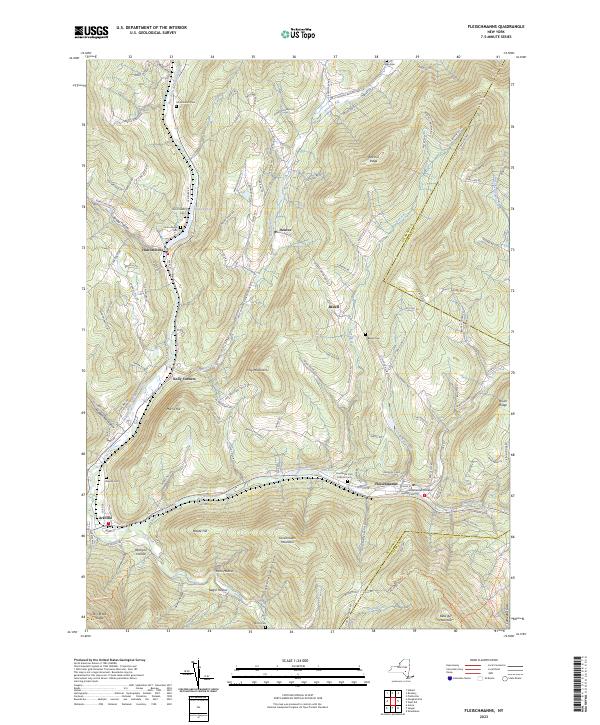
Current Fleischmanns GeoPDF Map
1945 Map No. 138238, 1945 Map No. 138239, 1945 Map No. 138241, 1945 Map No. 138242, 1946 Map No. 138240 Belleayre Mountain Ski Center, Greene County FP Detached Parcel, Big Indian Wilderness, Dry Brook Ridge Wild Forest Halcott (19%), Hardenburgh (0%), Middletown (36%), Roxbury (15%), Shandaken (2%)
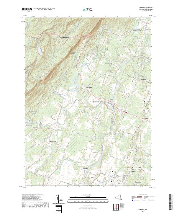
Current Gardiner GeoPDF Map
1957 Map No. 138111, 1957 Map No. 138112, 1957 Map No. 138113 NA Gardiner (80%), New Paltz (6%), Plattekill (4%), Rochester (6%), Shawangunk (21%)
Current Grahamsville GeoPDF Map
1966 Map No. 129597, 1982 Map No. 129598 Sullivan FP Detached Parcel, Neversink River Fishing Access, Sundown Wild Forest Fallsburg (22%), Neversink (33%), Wawarsing (7%)
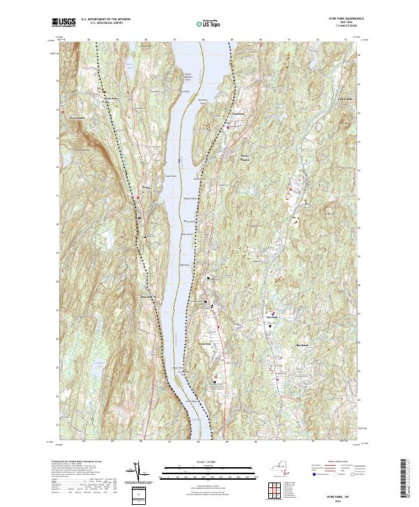
Current Hyde Park GeoPDF Map
1963 Map No. 130048, 1963 Map No. 130049, 1980 Map No. 130050, 1980 Map No. 130051 Black Creek Waterway Access, Chodikee Lake Wetlands, Crum Elbow Creek Waterway Access, Black Creek State Forest, Crum Elbow Creek Fishing Access Clinton (2%), Esopus (44%), Hyde Park (79%), Lloyd (14%), Rhinebeck (0%)
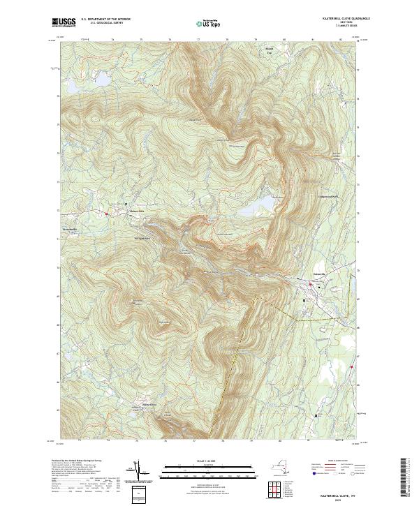
Current Kaaterskill Clove GeoPDF Map
1946 Map No. 130114, 1997 Map No. 130115 Colgate Lake Wild Forest, Kaaterskill Wild Forest, Indian Head Wilderness, Overlook Turnpike Primitive Bicycle Corridor, Dutcher Notch Primitive Bicycle Corridor, Windham-Blackhead Range Wilderness, North/South Lake Campground Cairo (7%), Catskill (16%), Hunter (32%), Jewett (9%), Saugerties (11%)
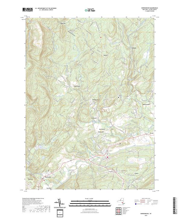
Current Kerhonkson GeoPDF Map
1942 Map No. 130021, 1969 Map No. 130024, 1969 Map No. 137293 Ulster FP Detached Parcel, Vernooy Kill State Forest, Sundown Wild Forest Marbletown (0%), Olive (1%), Rochester (45%), Wawarsing (11%)
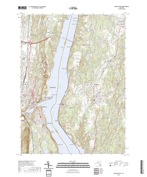
Current Kingston East GeoPDF Map
1963 Map No. 130035, 1963 Map No. 130036, 1963 Map No. 130037, 1963 Map No. 137296, 1963 Map No. 137298 NA Clinton (0%), Esopus (16%), Hyde Park (1%), Kingston city (52%), Red Hook (15%), Rhinebeck (71%), Ulster (35%)
Current Kingston West GeoPDF Map
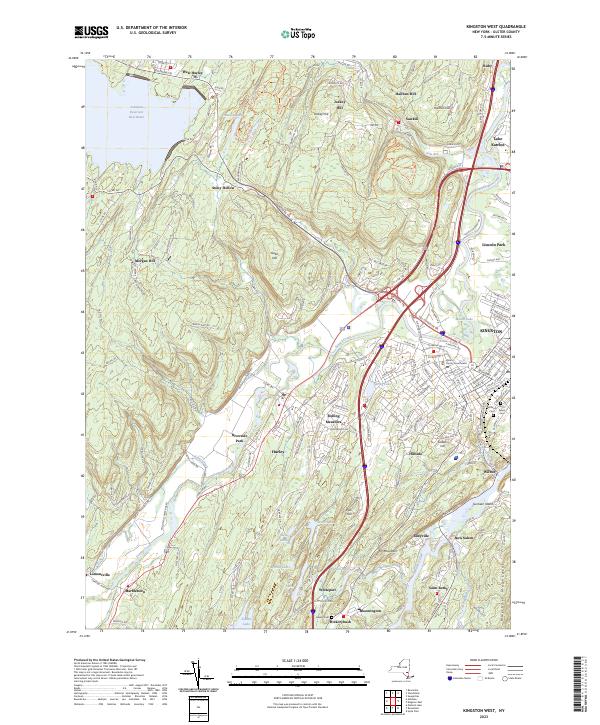
1942 Map No. 130038, 1964 Map No. 130131, 1964 Map No. 130132, 1964 Map No. 137299, 1964 Map No. 463444, 1980 Map No. 130133, 1997 Map No. 137300 Esopus Creek Waterway Access, Whiteport WMA, Bluestone Wild Forest, Rondout Creek Waterway Access Esopus (6%), Hurley (53%), Kingston city (48%), Kingston (89%), Marbletown (10%), Rosendale (19%), Ulster (43%), Woodstock (2%)
Current Lewbeach GeoPDF Map
1965 Map No. 130250, 1965 Map No. 130251, 1965 Map No. 130253, 1965 Map No. 137316 Andes FP Detached Parcel, Murphy Hill State Forest, Delaware Wild Forest, Dry Brook Ridge Wild Forest, Little Pond Campground Andes (34%), Colchester (9%), Hardenburgh (2%), Middletown (0%), Rockland (2%)
Current Lexington GeoPDF Map
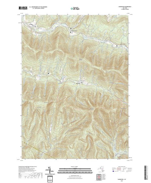
1946 Map No. 130258, 1960 Map No. 130260, 1960 Map No. 130261, 1960 Map No. 130262 Rusk Mountain Wild Forest, Shandaken Wild Forest, Phoenicia – Mt. Tobias Wild Forest, Diamond Notch Primitive Bicycle Corridor, Hunter-West Kill Wilderness Hunter (2%), Jewett (24%), Lexington (50%), Shandaken (1%)
Current Mohonk Lake GeoPDF Map
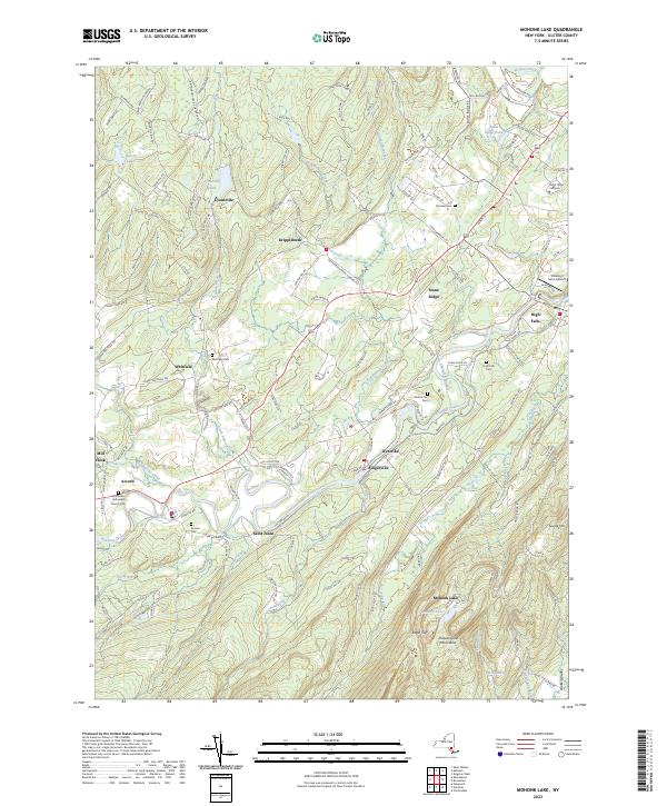
1942 Map No. 130597, 1964 Map No. 130599, 1964 Map No. 137455, 1964 Map No. 137456 NA Gardiner (0%), Marbletown (47%), New Paltz (9%), Olive (0%), Rochester (30%), Rosendale (0%)
Current Napanoch GeoPDF Map
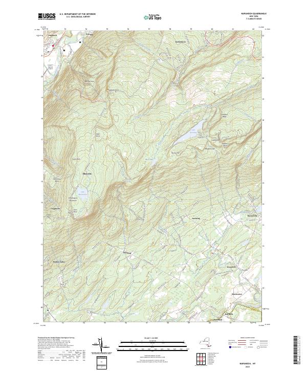
1956 Map No. 130743, 1956 Map No. 130744, 1956 Map No. 130745, 1956 Map No. 130746 Sams Point Ellensville Radio Facility, Ulster FP Detached Parcel, Witch’s Hole State Forest Crawford (1%), Gardiner (12%), Rochester (5%), Shawangunk (39%), Wawarsing (18%)
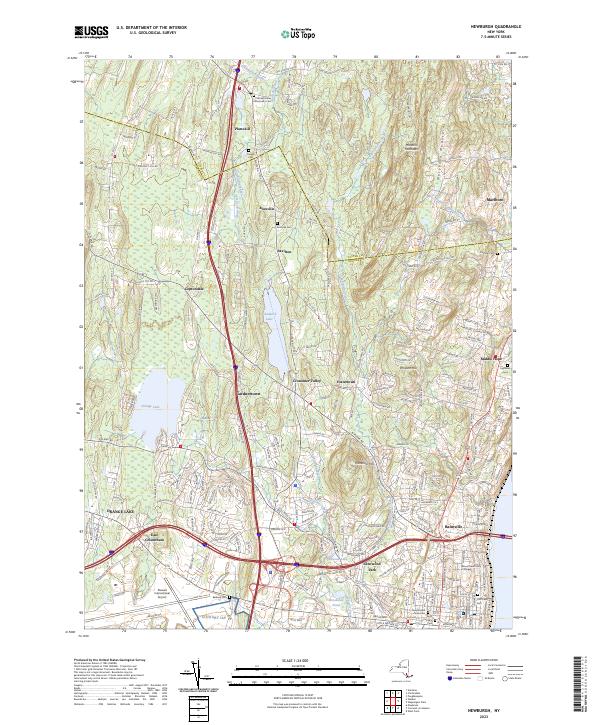
Current Newburgh GeoPDF Map
1957 Map No. 130832, 1957 Map No. 130833, 1957 Map No. 130834, 1957 Map No. 130835 Ulster FP Detached Parcel Marlborough (18%), Montgomery (0%), New Windsor (1%), Newburgh city (60%), Newburgh (83%), Plattekill (24%)
Current Peekamoose Mountain GeoPDF Map
1943 Map No. 128939, 1943 Map No. 128941 Sundown Wild Forest, Slide Mountain Wilderness, Big Indian Wilderness Denning (47%), Neversink (2%), Rochester (1%), Shandaken (2%), Wawarsing (0%)
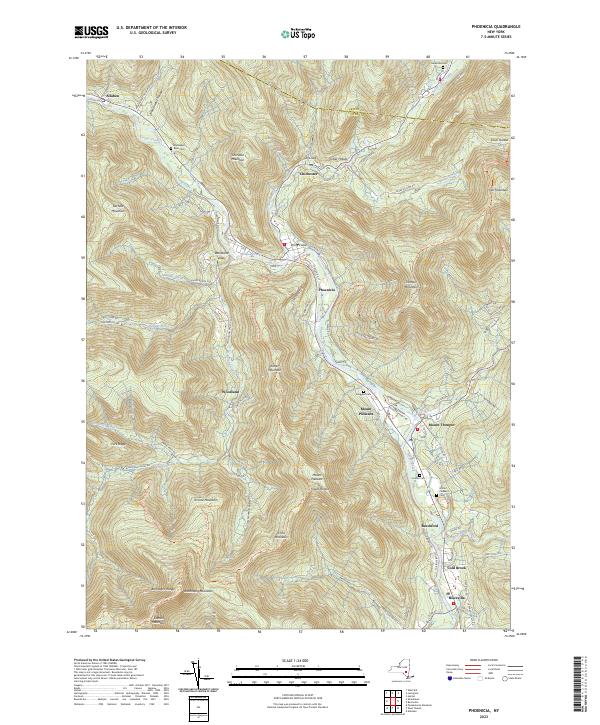
Current Phoenicia GeoPDF Map
1946 Map No. 128986, 1960 Map No. 128990, 1960 Map No. 128991, 1960 Map No. 128992, 1960 Map No. 128993, 1960 Map No. 136793, 1997 Map No. 136794 Simpson Ski Slope, Unclassified, Esopus Creek Fishing Access, Woodland Valley Stream Parking, Shandaken Wild Forest, Phoenicia – Mt. Tobias Wild Forest, Hunter-West Kill Wilderness, Slide Mountain Wilderness, Woodland Valley Campground Hunter (2%), Lexington (2%), Olive (5%), Shandaken (36%), Woodstock (8%)
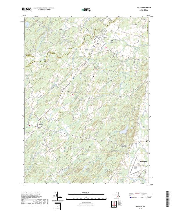
Current Pine Bush GeoPDF Map
1956 Map No. 128999, 1956 Map No. 129000, 1956 Map No. 136802 NA Crawford (88%), Mamakating (0%), Montgomery (15%), Shawangunk (12%), Wallkill (9%)
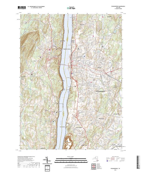
Current Poughkeepsie GeoPDF Map
1957 Map No. 129158, 1957 Map No. 129159, 1957 Map No. 136830, 1995 Map No. 136831 NA Hyde Park (8%), LaGrange (0%), Lloyd (43%), Marlborough (39%), Poughkeepsie city (100%), Poughkeepsie (70%), Wappinger (2%)
Current Rondout Reservoir GeoPDF Map
1969 Map No. 129207, 1969 Map No. 463445 Vernooy Kill State Forest, Sundown Wild Forest Denning (1%), Neversink (5%), Rochester (7%), Wawarsing (33%)
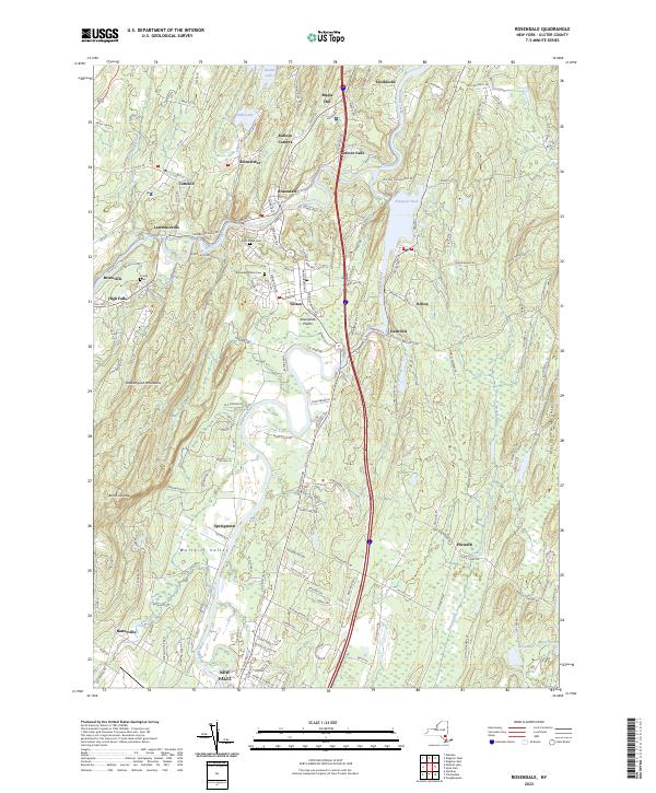
Current Rosendale GeoPDF Map
1942 Map No. 129218, 1942 Map No. 129219, 1964 Map No. 129224, 1964 Map No. 129225, 1964 Map No. 129226 Ulster FP Detached Parcel, Black Creek State Forest Esopus (34%), Lloyd (11%), Marbletown (5%), New Paltz (53%), Rosendale (81%)
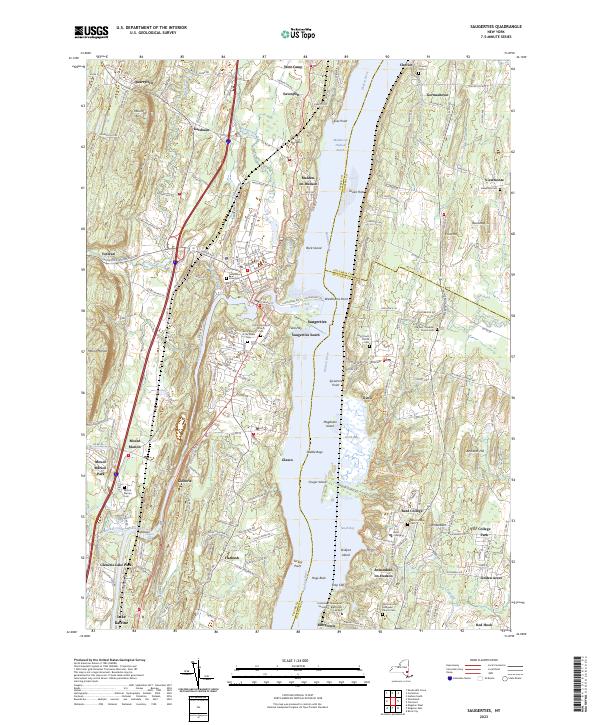
Current Saugerties GeoPDF Map
1963 Map No. 129404, 1963 Map No. 136889, 1963 Map No. 136890, 1963 Map No. 136891, 1963 Map No. 136892, 1997 Map No. 136893 Turkey Point State Forest, Tivoli Bays WMA Clermont (33%), Germantown (15%), Red Hook (39%), Saugerties (41%), Ulster (12%)
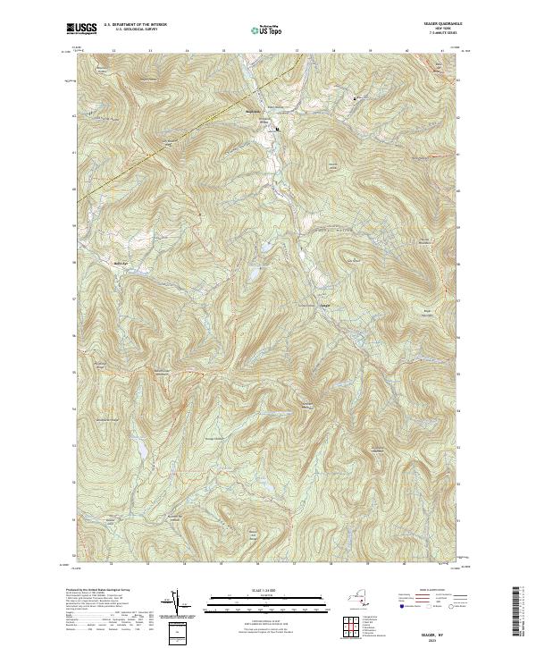
Current Seager GeoPDF Map
1945 Map No. 136121, 1945 Map No. 136122, 1945 Map No. 136124, 1945 Map No. 136125, 1945 Map No. 136126, 1946 Map No. 136123 Belleayre Mountain Ski Center, Big Indian Wilderness, Balsam Lake Mountain Wild Forest, Dry Brook Ridge Wild Forest Denning (5%), Hardenburgh (53%), Middletown (5%), Shandaken (1%)
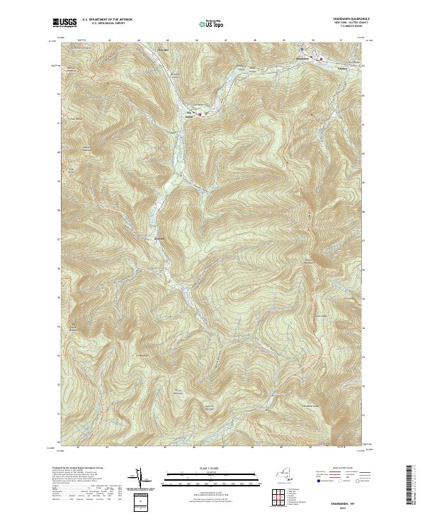
Current Shandaken GeoPDF Map
1946 Map No. 136142, 1946 Map No. 136145, 1960 Map No. 136146, 1960 Map No. 136147, 1960 Map No. 136908, 1960 Map No. 136909, 1997 Map No. 136910 Belleayre Mountain Ski Center, Belleayre Mountain Day Use Area, Unclassified, Shandaken Wild Forest, Slide Mountain Wilderness, Big Indian Wilderness Denning (4%), Hardenburgh (5%), Shandaken (39%)
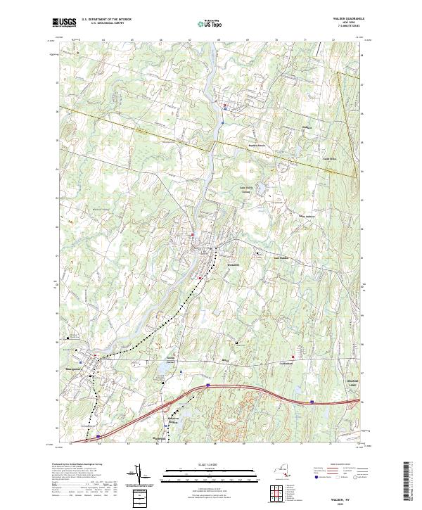
Current Walden GeoPDF Map
1942 Map No. 139517, 1957 Map No. 139519, 1957 Map No. 139520 Stewart State Forest Crawford (1%), Montgomery (75%), New Windsor (6%), Newburgh (3%), Plattekill (1%), Shawangunk (24%)
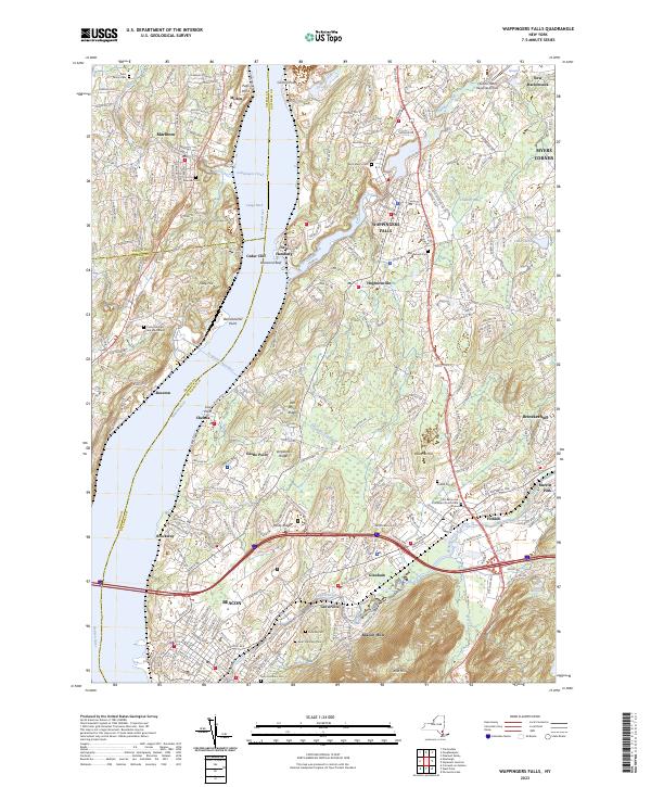
Current Wappingers Falls GeoPDF Map
1956 Map No. 140039, 1956 Map No. 140040, 1956 Map No. 140041 Stonykill Environmental Education Center, Baxtertown Woods WMA Beacon city (64%), Fishkill (56%), Marlborough (24%), Newburgh city (3%), Newburgh (12%), Poughkeepsie (17%), Wappinger (60%)
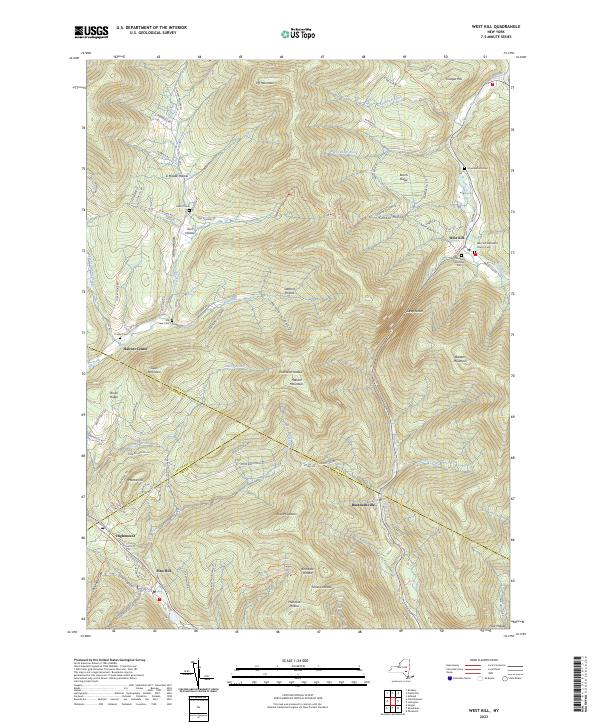
Current West Kill GeoPDF Map
1945 Map No. 140167, 1960 Map No. 137008, 1960 Map No. 140169, 1960 Map No. 140170 Belleayre Mountain Ski Center, Belleayre Mountain Day Use Area, Greene County FP Detached Parcel, Halcott Mountain Wild Forest, Bearpen Mountain State Forest, Rusk Mountain Wild Forest, Shandaken Wild Forest, Hunter-West Kill Wilderness, Vinegar Hill WMA Halcott (69%), Lexington (28%), Middletown (4%), Shandaken (11%)
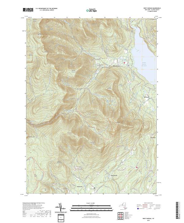
Current West Shokan GeoPDF Map
1942 Map No. 140217, 1942 Map No. 140218, 1969 Map No. 140219, 1969 Map No. 140220, 1969 Map No. 140221, 1997 Map No. 137015 Sundown Wild Forest, Phoenicia – Mt. Tobias Wild Forest, Slide Mountain Wilderness Denning (5%), Olive (55%), Rochester (8%), Shandaken (6%)
Current Willowemoc GeoPDF Map
1966 Map No. 137033, 1966 Map No. 140307, 1966 Map No. 140308, 1997 Map No. 137034 Willowemoc Wild Forest, Big Indian Wilderness, Mongaup Pond Campground Denning (5%), Hardenburgh (6%), Liberty (2%), Neversink (18%), Rockland (30%)
Current Woodridge GeoPDF Map
1966 Map No. 140376, 1966 Map No. 140377 Neversink River Fishing Access Fallsburg (43%), Mamakating (5%), Thompson (11%), Wawarsing (5%)
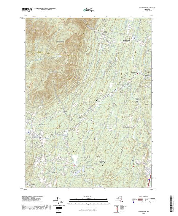
Current Woodstock GeoPDF Map
1945 Map No. 140378, 1945 Map No. 140379, 1945 Map No. 140380, 1945 Map No. 140381 High Woods Multiple Use Area, Kaaterskill Wild Forest, Overlook Mountain Wild Forest, Bluestone Wild Forest, Indian Head Wilderness, Overlook Turnpike Primitive Bicycle Corridor Hunter (6%), Hurley (7%), Kingston (11%), Saugerties (36%), Ulster (11%), Woodstock (28%)
Current Wurtsboro GeoPDF Map
1943 Map No. 140385, 1943 Map No. 140386, 1969 Map No. 137046, 1969 Map No. 137047, 1969 Map No. 140387 Wurtsboro Ridge State Forest, Roosa Gap State Forest, Bashakill WMA Crawford (10%), Mamakating (36%), Mount Hope (3%), Shawangunk (1%), Wallkill (25%)

Warren County

PDF (50-60 MB Download) Historical USGS Topo Maps State Lands (Links to DEC Website) Towns (Percent of Town’s Area)
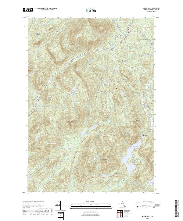
Current Bakers Mills GeoPDF Map
NA Wilcox Lake Wild Forest, Siamese Ponds Wilderness Johnsburg (20%), Thurman (14%)
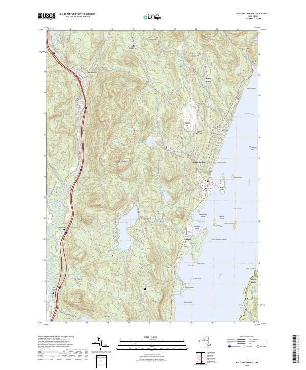
Current Bolton Landing GeoPDF Map
1966 Map No. 123346, 1966 Map No. 123347 Lake George Wild Forest, Lake George Islands Campground Bolton (56%), Fort Ann (0%), Horicon (0%), Lake George (1%), Warrensburg (7%)
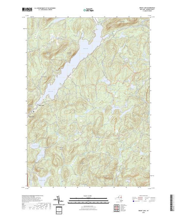
Current Brant Lake GeoPDF Map
1966 Map No. 122984 First Brother Primitive Area, Pharaoh Lake Wilderness, Lake George Wild Forest Bolton (10%), Chester (0%), Hague (3%), Horicon (60%), Warrensburg (0%)
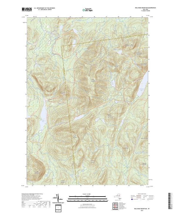
Current Bullhead Mountain GeoPDF Map
NA Jessup River Wild Forest, Siamese Ponds Wilderness Indian Lake (6%), Johnsburg (15%), Wells (4%)
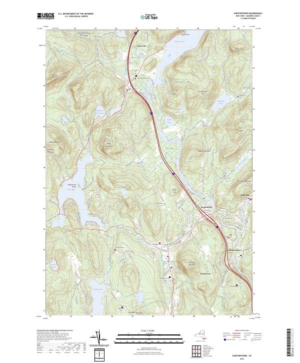
Current Chestertown GeoPDF Map
1968 Map No. 122965, 1968 Map No. 122966 Vanderwhacker Mountain Wild Forest, Lake George Wild Forest, Eagle Point Campground, Horicon Boat Launch Chester (45%), Horicon (21%), Warrensburg (0%)
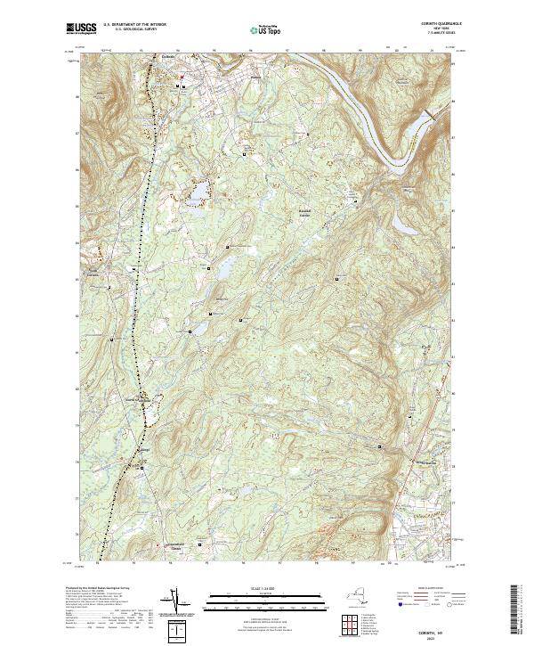
Current Corinth GeoPDF Map
1935 Map No. 137818, 1968 Map No. 137819 Hudson River Waterway Access, Saratoga FP Detached Parcel, Warren FP Detached Parcel, Daniels Road State Forest, Lincoln Mountain State Forest Corinth (37%), Greenfield (32%), Lake Luzerne (5%), Moreau (2%), Wilton (22%)
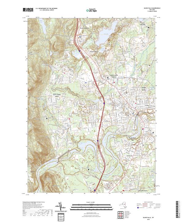
Current Glens Falls GeoPDF Map
1966 Map No. 129551 NA Glens Falls city (94%), Lake George (0%), Lake Luzerne (2%), Moreau (29%), Queensbury (54%)
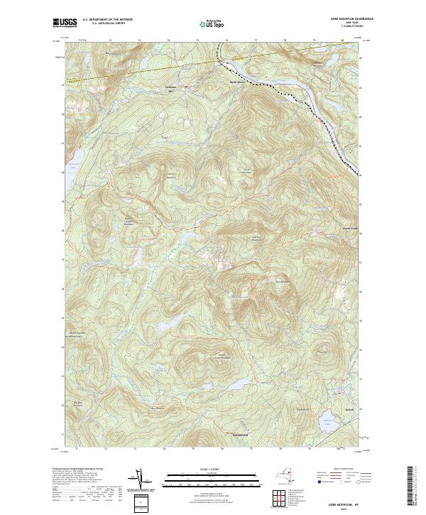
Current Gore Mountain GeoPDF Map
NA Vanderwhacker Mountain Wild Forest, Chatiemac Lake Primitive Area, Siamese Ponds Wilderness, North Creek Parking Fishing Access, Gore Mountain Ski Center Chester (3%), Indian Lake (1%), Johnsburg (24%), Minerva (0%)
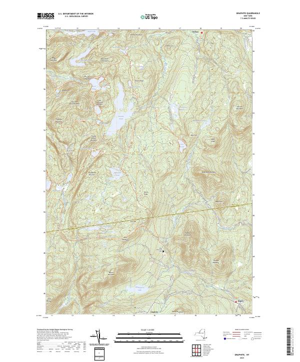
Current Graphite GeoPDF Map
1973 Map No. 129606, 1973 Map No. 129607 Bald Ledge Primitive Area, Gooseneck Pond Primitive Area, Pharaoh Lake Wilderness, Hammond Pond Wild Forest, Lake George Wild Forest, Putnam Pond Campground Hague (23%), Schroon (1%), Ticonderoga (39%)
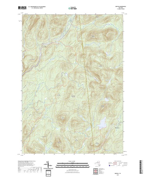
Current Griffin GeoPDF Map
NA Jessup River Wild Forest, Wilcox Lake Wild Forest, Forks Mountain Primitive Area, Siamese Ponds Wilderness Stony Creek (14%), Thurman (8%), Wells (19%)
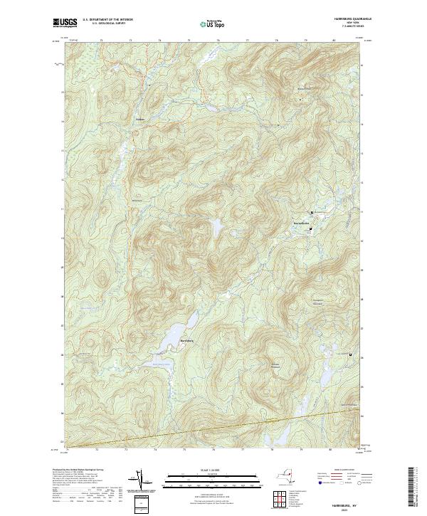
Current Harrisburg GeoPDF Map
NA Wilcox Lake Wild Forest Day (4%), Hadley (0%), Stony Creek (44%), Thurman (17%)
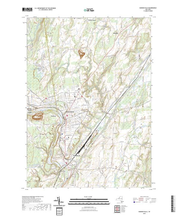
Current Hudson Falls GeoPDF Map
1966 Map No. 129932, 1966 Map No. 129933, 1966 Map No. 129934 Hudson River Boat Launch, Washington County Grasslands Argyle (9%), Fort Edward (35%), Glens Falls city (6%), Kingsbury (69%), Moreau (14%), Queensbury (8%)
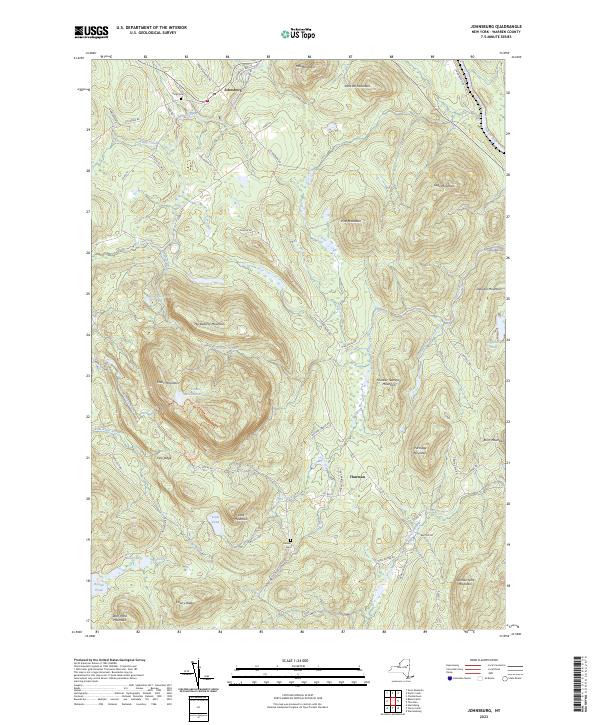
Current Johnsburg GeoPDF Map
1968 Map No. 130094, 1968 Map No. 137286, 1968 Map No. 137287 Unclassified, Mill Creek Parking Area, Wilcox Lake Wild Forest, Lake George Wild Forest Chester (1%), Johnsburg (16%), Thurman (22%)
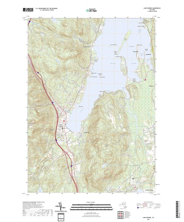
Current Lake George GeoPDF Map
1966 Map No. 130043, 1966 Map No. 130044, 1966 Map No. 130045 Lake George Wild Forest, Lake George Beach Day Use Area, Lake George Battlefield Day Use Area, Prospect Mountain Parkway, Lake George Battlefield Campground, Hearthstone Point Campground, Lake George Islands Campground Bolton (7%), Fort Ann (0%), Lake George (83%), Queensbury (31%)
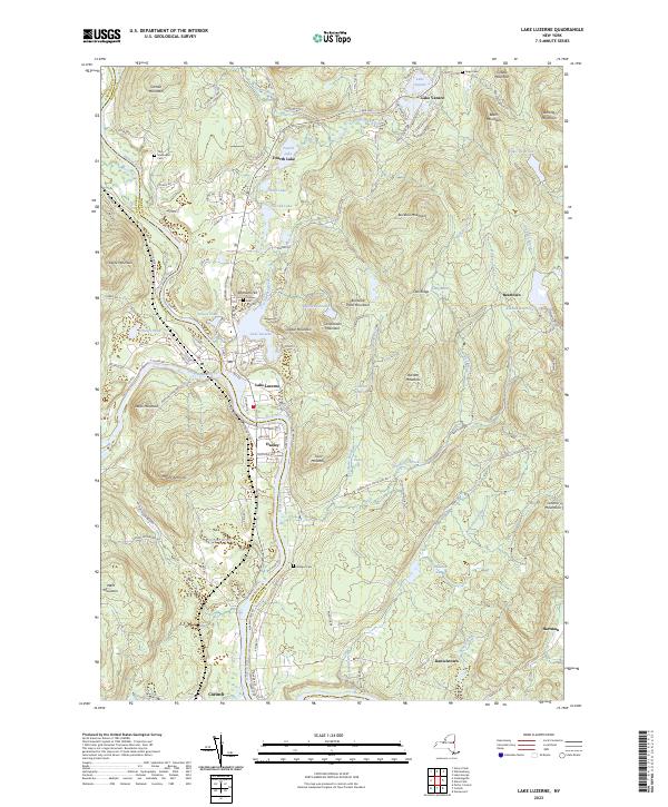
Current Lake Luzerne GeoPDF Map
1968 Map No. 130177, 1968 Map No. 137309, 1968 Map No. 137310 Ralph Road State Forest, Wilcox Lake Wild Forest, Hudson River Special Management Area, Lake George Wild Forest, Upper Hudson River Boat Launch, Luzerne Campground Corinth (7%), Hadley (22%), Lake George (0%), Lake Luzerne (73%), Queensbury (3%)
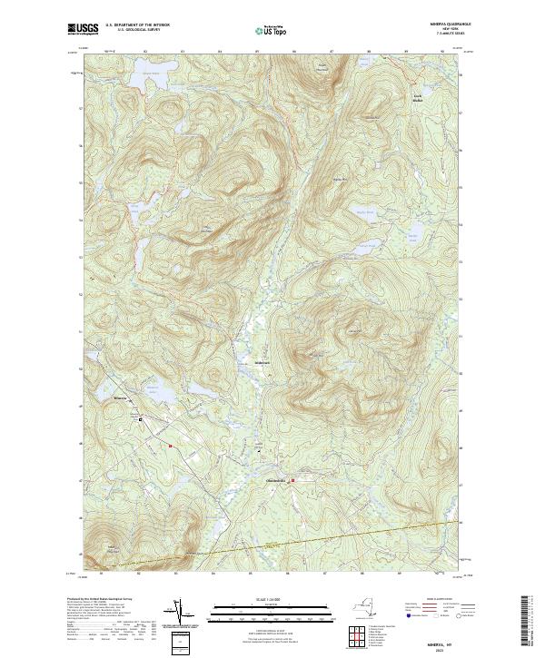
Current Minerva GeoPDF Map
NA Vanderwhacker Mountain Wild Forest, Hoffman Notch Wilderness Chester (3%), Minerva (25%), Schroon (7%)
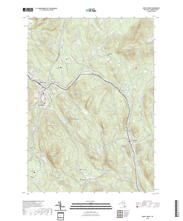
Current North Creek GeoPDF Map
1968 Map No. 128752, 1968 Map No. 128753 Mill Creek Fishing Access, Wilcox Lake Wild Forest, Vanderwhacker Mountain Wild Forest, Lake George Wild Forest, North Creek Parking Fishing Access, Gore Mountain Ski Center Chester (29%), Johnsburg (14%)
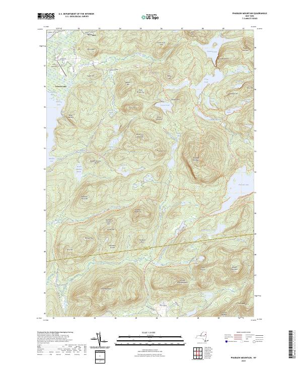
Current Pharaoh Mountain GeoPDF Map
1973 Map No. 128968 Pharaoh Lake Wilderness, Hammond Pond Wild Forest, Lake George Wild Forest Hague (2%), Horicon (16%), Schroon (29%), Ticonderoga (1%)
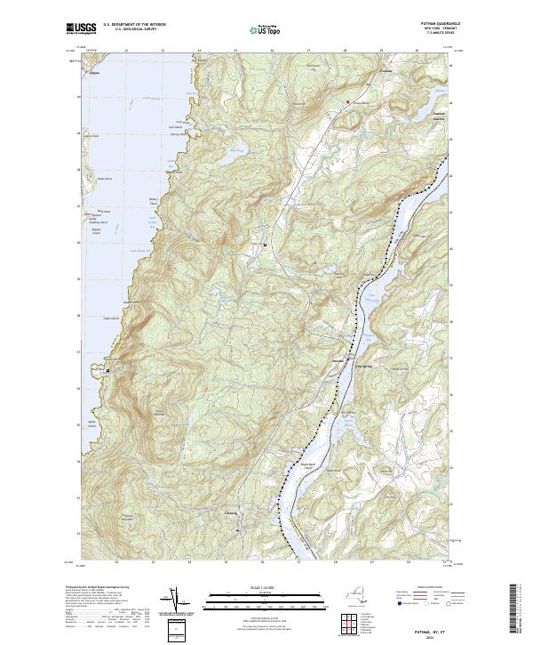
Current Putnam GeoPDF Map
1950 Map No. 135995, 1950 Map No. 135996, 1950 Map No. 135997, 1950 Map No. 136841, 1950 Map No. 136842 Lake George Wild Forest, Maple Bend Island WMA, Lake George Islands Campground Dresden (35%), Hague (9%), Putnam (48%)
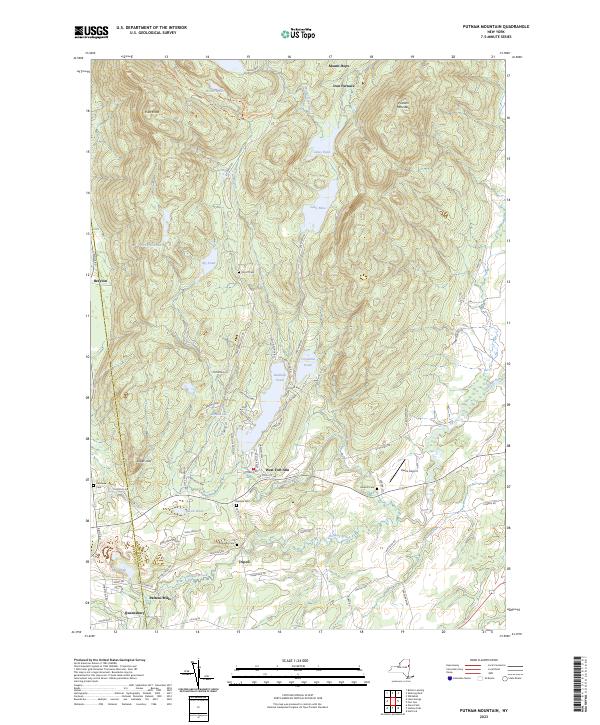
Current Putnam Mountain GeoPDF Map
1966 Map No. 135994, 1966 Map No. 136840 Lake George Wild Forest Fort Ann (42%), Kingsbury (14%), Queensbury (4%)
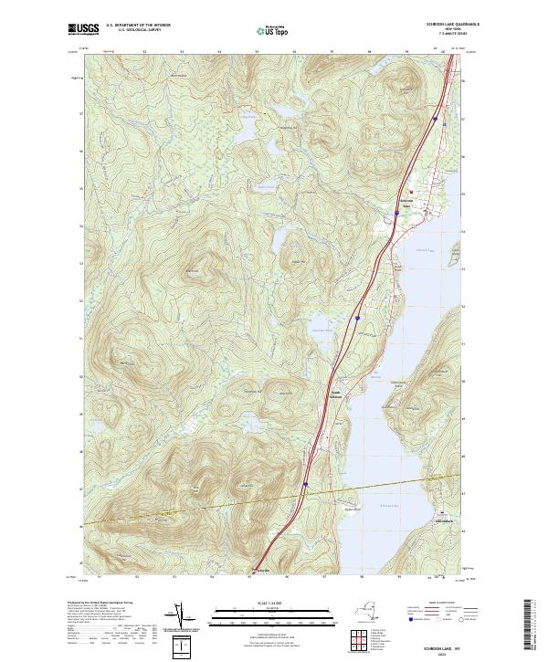
Current Schroon Lake GeoPDF Map
NA Pharaoh Lake Wilderness, Hammond Pond Wild Forest, Vanderwhacker Mountain Wild Forest, Scaroon Manor Campground, Lake George Wild Forest, Hoffman Notch Wilderness, Eagle Point Campground Chester (6%), Horicon (4%), Minerva (1%), Schroon (31%)
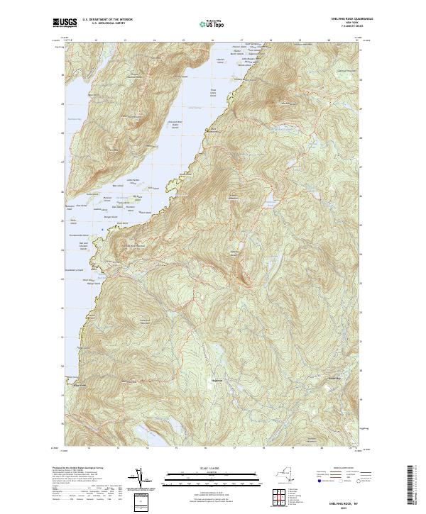
Current Shelving Rock GeoPDF Map
1966 Map No. 136153, 1966 Map No. 136154, 1966 Map No. 136913 Lake George Wild Forest, Lake George Islands Campground Bolton (16%), Dresden (26%), Fort Ann (24%)
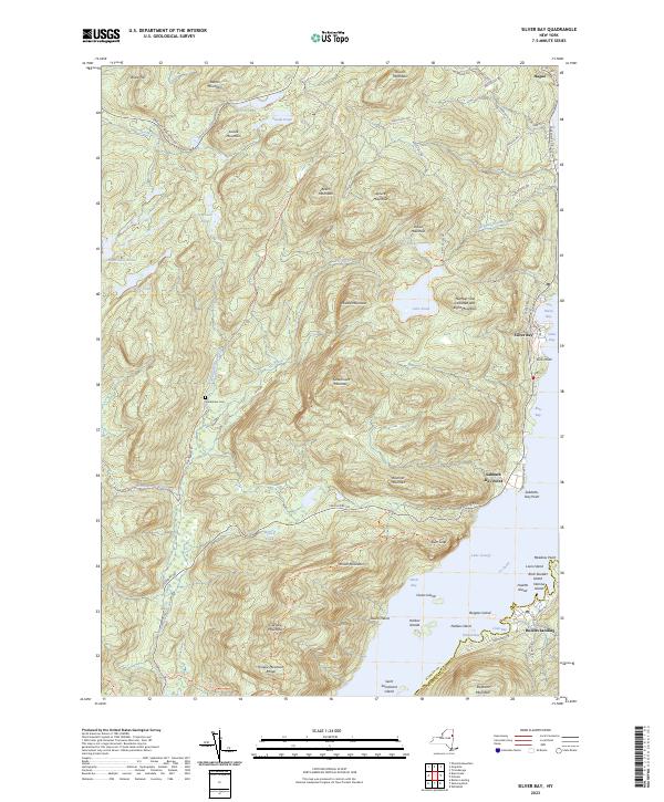
Current Silver Bay GeoPDF Map
1966 Map No. 136169, 1966 Map No. 136170 Pharaoh Lake Wilderness, Lake George Wild Forest, Lake George Islands Campground Bolton (12%), Dresden (3%), Hague (53%)
Current South Pond Mountain GeoPDF Map
NA Wilcox Lake Wild Forest, Siamese Ponds Wilderness Johnsburg (11%), Thurman (5%), Wells (15%)
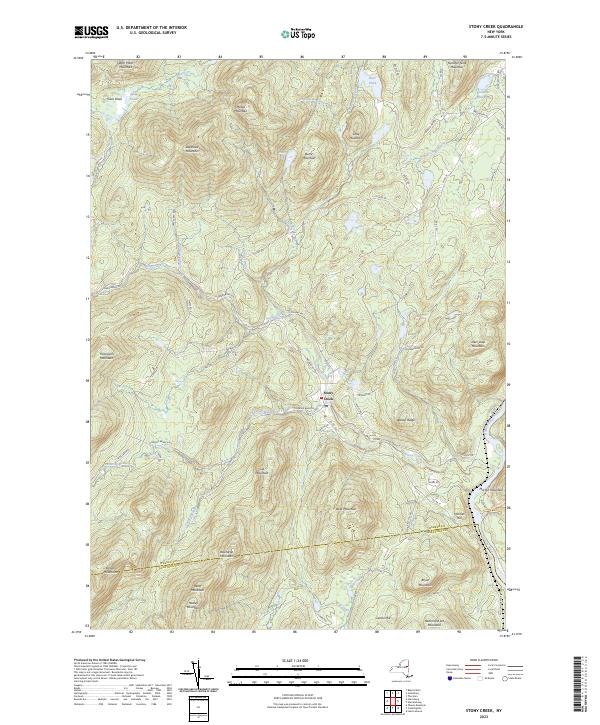
Current Stony Creek GeoPDF Map
1968 Map No. 139902 Wilcox Lake Wild Forest, Hudson River Special Management Area, Lake George Wild Forest Day (0%), Hadley (18%), Lake Luzerne (0%), Stony Creek (41%), Thurman (13%), Warrensburg (1%)
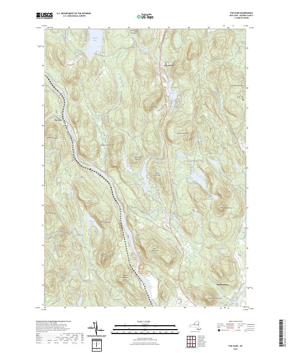
Current The Glen GeoPDF Map
1968 Map No. 139980 Wilcox Lake Wild Forest, Lake George Wild Forest Bolton (0%), Chester (13%), Johnsburg (0%), Lake George (0%), Thurman (14%), Warrensburg (45%)
Current Ticonderoga GeoPDF Map
1950 Map No. 136965, 1950 Map No. 140023, 1950 Map No. 140024, 1950 Map No. 140025, 1950 Map No. 140026, 1950 Map No. 140027, 1950 Map No. 140028, 1950 Map No. 140029, 1950 Map No. 140030 Pharaoh Lake Wilderness, Lake George Wild Forest, Mossy Point State Boat Launch, Lake George Islands Campground, Rogers Rock Campground Hague (9%), Putnam (52%), Ticonderoga (33%)
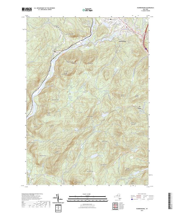
Current Warrensburg GeoPDF Map
1966 Map No. 140042, 1966 Map No. 140043 Unclassified, Wilcox Lake Wild Forest, Hudson River Special Management Area, Lake George Wild Forest, Prospect Mountain Parkway Hadley (0%), Lake George (15%), Lake Luzerne (19%), Stony Creek (1%), Thurman (8%), Warrensburg (47%)

Washington County

PDF (50-60 MB Download) Historical USGS Topo Maps State Lands (Links to DEC Website) Towns (Percent of Town’s Area)
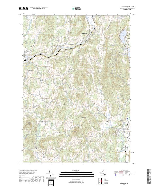
Current Cambridge GeoPDF Map
1944 Map No. 123153, 1944 Map No. 123154, 1944 Map No. 123155 Washington FP Detached Parcel Cambridge (49%), Easton (14%), Greenwich (18%), Jackson (48%), White Creek (3%)
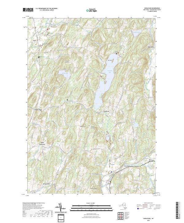
Current Cossayuna GeoPDF Map
1944 Map No. 137722, 1944 Map No. 137848, 1944 Map No. 137849 Carters Pond WMA, Cossayuna Lake Waterway Access Argyle (42%), Greenwich (46%), Hebron (4%), Jackson (8%), Salem (8%)
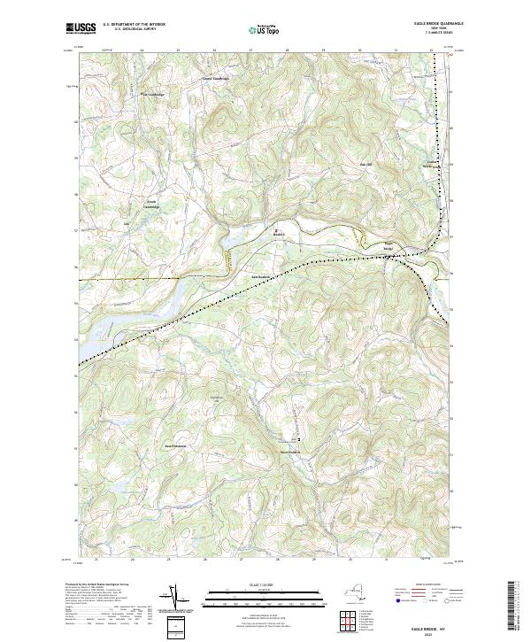
Current Eagle Bridge GeoPDF Map
1944 Map No. 137939, 1944 Map No. 137940, 1944 Map No. 137987 Hoosick River Waterway Access Cambridge (46%), Easton (1%), Hoosick (25%), Pittstown (24%), Schaghticoke (2%), White Creek (10%)
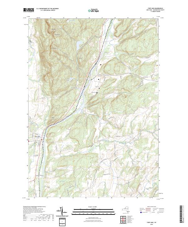
Current Fort Ann GeoPDF Map
1944 Map No. 137209, 1944 Map No. 138275, 1944 Map No. 138276 Dolph Pond State Forest Fort Ann (29%), Hartford (32%), Kingsbury (3%), Whitehall (12%)
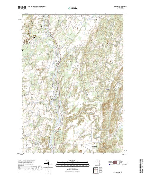
Current Fort Miller GeoPDF Map
1935 Map No. 139555 Washington County Grasslands Argyle (16%), Fort Edward (65%), Greenwich (23%), Moreau (10%), Northumberland (38%)
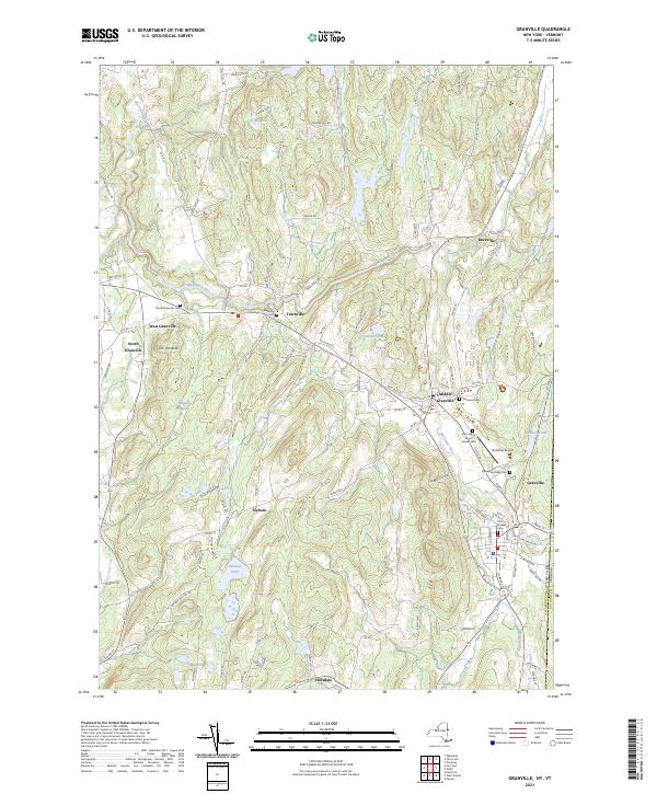
Current Granville GeoPDF Map
1944 Map No. 129599, 1944 Map No. 129600 Mettawee River Fishing Access Fort Ann (1%), Granville (82%), Hampton (9%), Hartford (3%), Whitehall (7%)
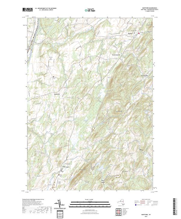
Current Hartford GeoPDF Map
1944 Map No. 129814, 1944 Map No. 129815, 1944 Map No. 129816 NA Argyle (32%), Hartford (56%), Hebron (10%), Kingsbury (15%)
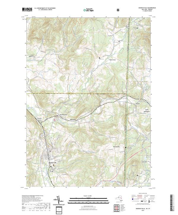
Current Hoosick Falls GeoPDF Map
1943 Map No. 129760, 1943 Map No. 129761, 1943 Map No. 129762, 1943 Map No. 129763, 1995 Map No. 137261 Chestnut Woods State Forest, Mount Tom State Forest Hoosick (38%), White Creek (42%)
Current Hudson Falls GeoPDF Map
1966 Map No. 129932, 1966 Map No. 129933, 1966 Map No. 129934 Hudson River Boat Launch, Washington County Grasslands Argyle (9%), Fort Edward (35%), Glens Falls city (6%), Kingsbury (69%), Moreau (14%), Queensbury (8%)
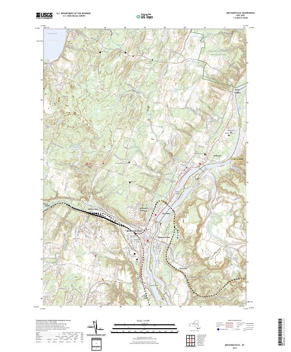
Current Mechanicville GeoPDF Map
1954 Map No. 130513, 1954 Map No. 130514, 1954 Map No. 130515, 1954 Map No. 137440 NA Easton (1%), Halfmoon (27%), Malta (1%), Mechanicville city (100%), Schaghticoke (22%), Stillwater (75%)
Current Putnam GeoPDF Map
1950 Map No. 135995, 1950 Map No. 135996, 1950 Map No. 135997, 1950 Map No. 136841, 1950 Map No. 136842 Lake George Wild Forest, Maple Bend Island WMA, Lake George Islands Campground Dresden (35%), Hague (9%), Putnam (48%)
Current Putnam Mountain GeoPDF Map
1966 Map No. 135994, 1966 Map No. 136840 Lake George Wild Forest Fort Ann (42%), Kingsbury (14%), Queensbury (4%)
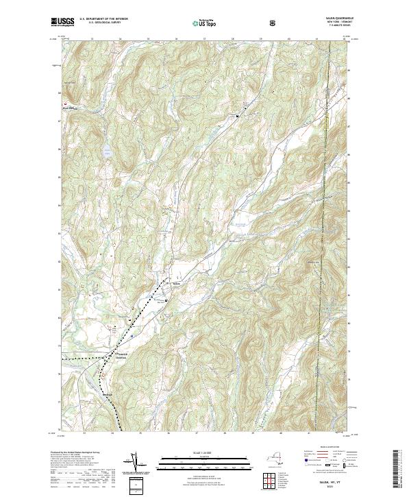
Current Salem GeoPDF Map
1944 Map No. 129326, 1944 Map No. 129327, 1995 Map No. 136880 Washington FP Detached Parcel, Battenkill River Fishing Access Hebron (18%), Jackson (4%), Salem (73%)
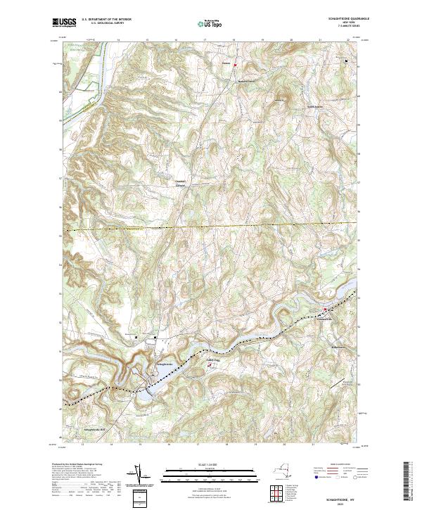
Current Schaghticoke GeoPDF Map
1954 Map No. 129418, 1954 Map No. 129419, 1954 Map No. 136897, 1954 Map No. 136898 NA Cambridge (5%), Easton (35%), Pittstown (15%), Schaghticoke (38%), Stillwater (3%)
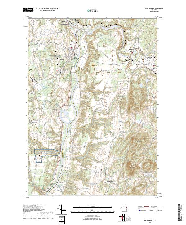
Current Schuylerville GeoPDF Map
1935 Map No. 136111, 1967 Map No. 136112 Victory Mills Easton (50%), Greenwich (12%), Northumberland (6%), Saratoga (34%), Stillwater (3%)
Current Shelving Rock GeoPDF Map
1966 Map No. 136153, 1966 Map No. 136154, 1966 Map No. 136913 Lake George Wild Forest, Lake George Islands Campground Bolton (16%), Dresden (26%), Fort Ann (24%)
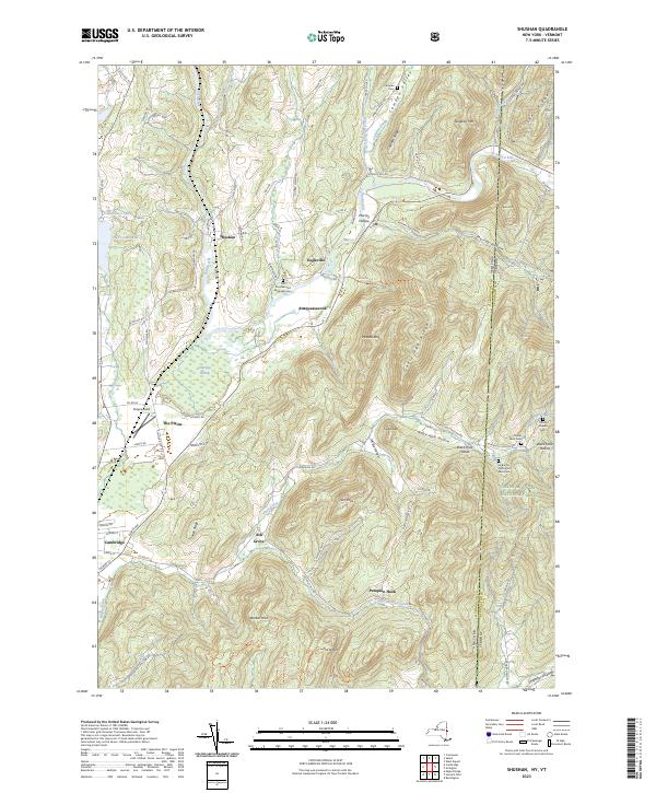
Current Shushan GeoPDF Map
1944 Map No. 136162, 1944 Map No. 136163, 1944 Map No. 136164, 1995 Map No. 136919 Chestnut Woods State Forest, Eldridge Swamp State Forest, Batten Kill State Forest, Goose Egg State Forest, Mount Tom State Forest, Battenkill River Fishing Access Jackson (40%), Salem (19%), White Creek (45%)
Current Silver Bay GeoPDF Map
1966 Map No. 136169, 1966 Map No. 136170 Pharaoh Lake Wilderness, Lake George Wild Forest, Lake George Islands Campground Bolton (12%), Dresden (3%), Hague (53%)
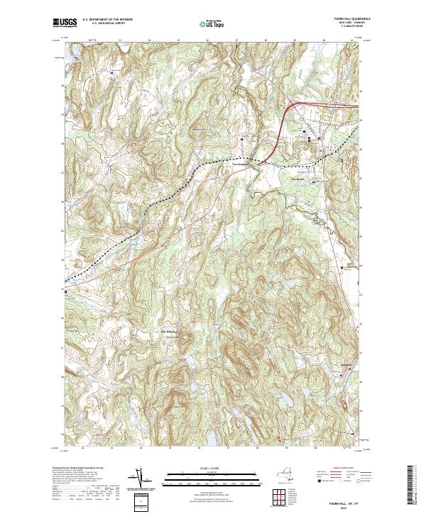
Current Thorn Hill GeoPDF Map
1946 Map No. 136960, 1946 Map No. 140017, 1948 Map No. 140016 East Bay WMA Hampton (91%), Whitehall (43%)
Current Ticonderoga GeoPDF Map
1950 Map No. 136965, 1950 Map No. 140023, 1950 Map No. 140024, 1950 Map No. 140025, 1950 Map No. 140026, 1950 Map No. 140027, 1950 Map No. 140028, 1950 Map No. 140029, 1950 Map No. 140030 Pharaoh Lake Wilderness, Lake George Wild Forest, Mossy Point State Boat Launch, Lake George Islands Campground, Rogers Rock Campground Hague (9%), Putnam (52%), Ticonderoga (33%)
Current West Pawlet GeoPDF Map
1944 Map No. 140190, 1944 Map No. 140191, 1995 Map No. 137011 NA Granville (18%), Hartford (10%), Hebron (67%)
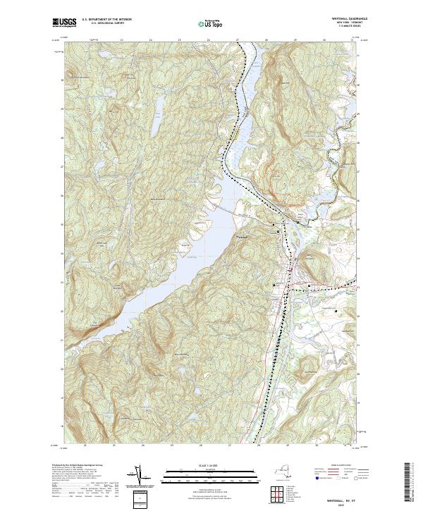
Current Whitehall GeoPDF Map
1950 Map No. 137027, 1950 Map No. 140282, 1950 Map No. 140283, 1950 Map No. 140284 Dolph Pond State Forest, The Saddles State Forest, Lake George Wild Forest, South Bay State Boat Launch, East Bay WMA Dresden (36%), Fort Ann (4%), Whitehall (37%)

Wayne County

PDF (50-60 MB Download) Historical USGS Topo Maps State Lands (Links to DEC Website) Towns (Percent of Town’s Area)
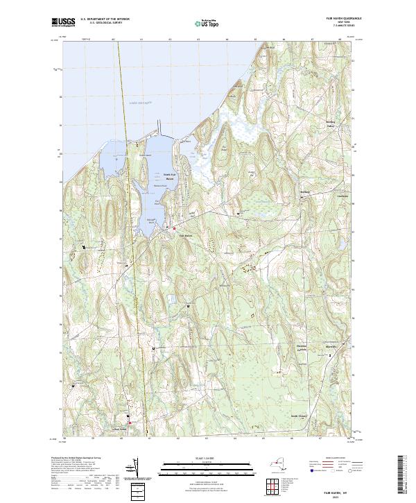
Current Fair Haven GeoPDF Map
1943 Map No. 138121, 1954 Map No. 138123, 1954 Map No. 138124, 1954 Map No. 138125 Lake Shore Marshes WMA Sterling (76%), Victory (1%), Wolcott (25%)
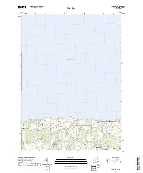
Current Furnaceville GeoPDF Map
1952 Map No. 138088, 1952 Map No. 138089, 1952 Map No. 138090, 1952 Map No. 138091 NA Ontario (38%), Williamson (1%)
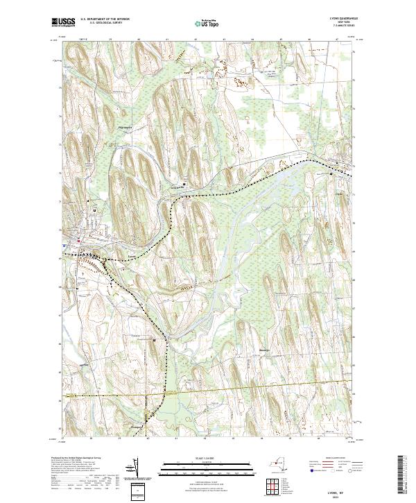
Current Lyons GeoPDF Map
1953 Map No. 130403, 1953 Map No. 130404, 1953 Map No. 130405 Galen WMA Galen (56%), Junius (18%), Lyons (38%), Phelps (3%), Rose (1%)
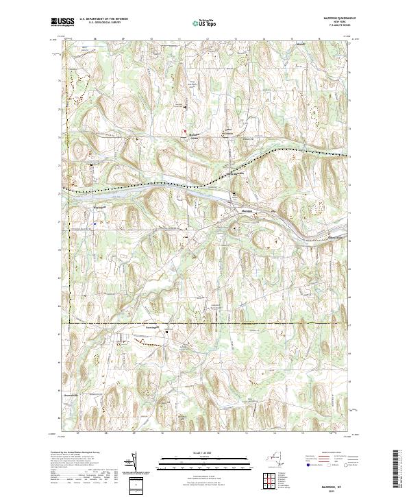
Current Macedon GeoPDF Map
1951 Map No. 130414, 1951 Map No. 130415, 1951 Map No. 130416, 1951 Map No. 130417 NA Farmington (37%), Macedon (98%), Marion (0%), Penfield (0%), Perinton (3%), Victor (1%), Walworth (2%)
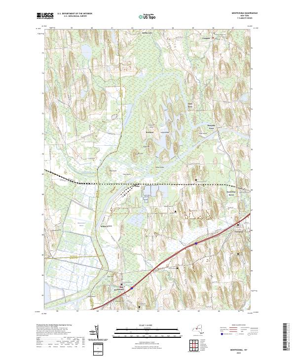
Current Montezuma GeoPDF Map
1954 Map No. 130619, 1954 Map No. 130620, 1954 Map No. 130621 Northern Montezuma WMA Conquest (41%), Mentz (61%), Montezuma (60%), Savannah (39%), Throop (7%), Tyre (8%)
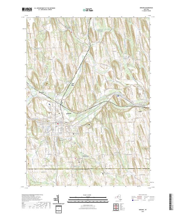
Current Newark GeoPDF Map
1952 Map No. 130822, 1952 Map No. 130823, 1952 Map No. 130824, 1952 Map No. 130825 NA Arcadia (67%), Lyons (37%), Phelps (9%)
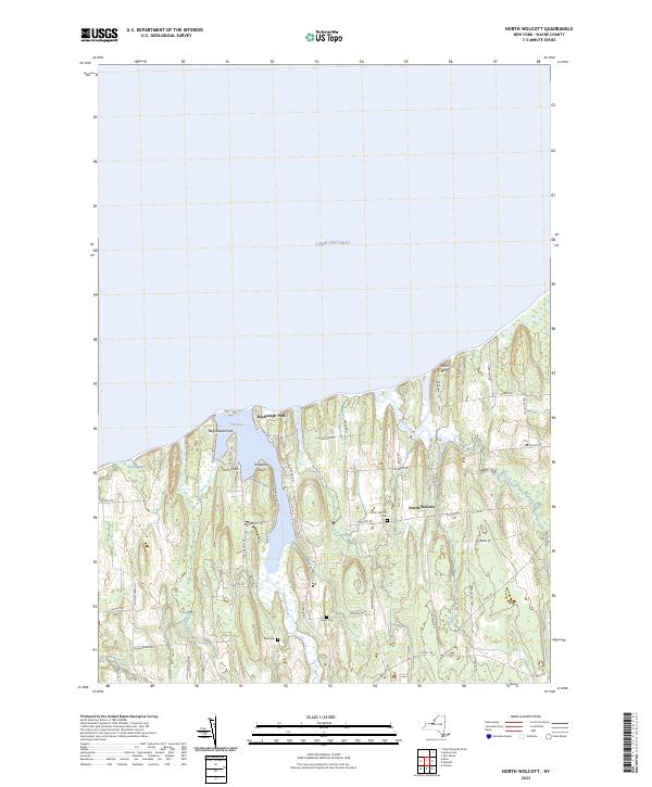
Current North Wolcott GeoPDF Map
1953 Map No. 128785, 1953 Map No. 128786, 1953 Map No. 137468 Lake Shore Marshes WMA Huron (18%), Wolcott (44%)
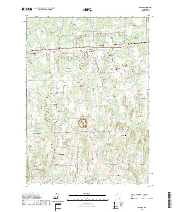
Current Ontario GeoPDF Map
1952 Map No. 128924, 1952 Map No. 128925, 1952 Map No. 128926 NA Marion (2%), Ontario (62%), Penfield (0%), Walworth (98%), Williamson (1%)
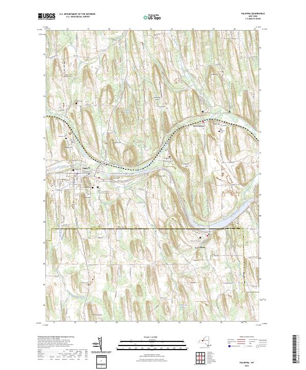
Current Palmyra GeoPDF Map
1952 Map No. 135960, 1952 Map No. 135961 NA Arcadia (8%), Farmington (1%), Macedon (2%), Manchester (42%), Marion (0%), Palmyra (98%), Phelps (1%)
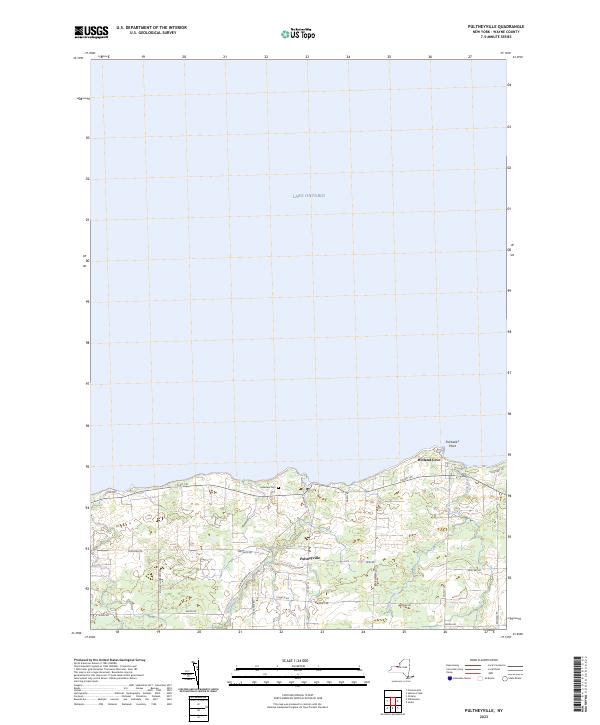
Current Pultneyville GeoPDF Map
1952 Map No. 129204, 1952 Map No. 129205, 1952 Map No. 129206 NA Sodus (1%), Williamson (40%)
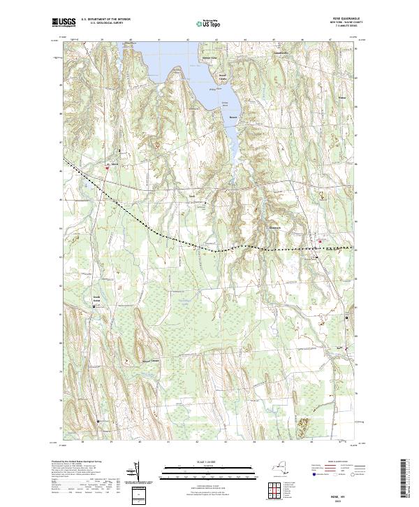
Current Rose GeoPDF Map
1953 Map No. 129212, 1953 Map No. 129213, 1953 Map No. 129214, 1953 Map No. 129215 Lake Shore Marshes WMA Galen (0%), Huron (39%), Lyons (13%), Rose (64%), Sodus (16%)
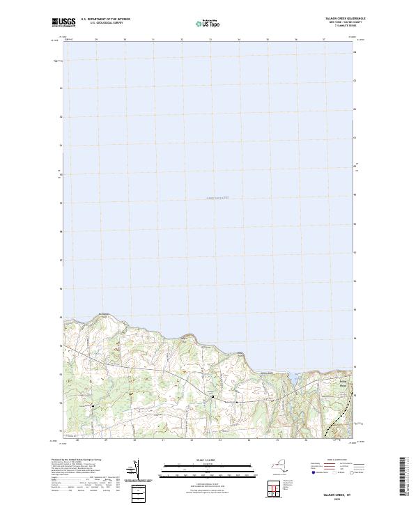
Current Salmon Creek GeoPDF Map
1952 Map No. 129335 NA Sodus (18%)
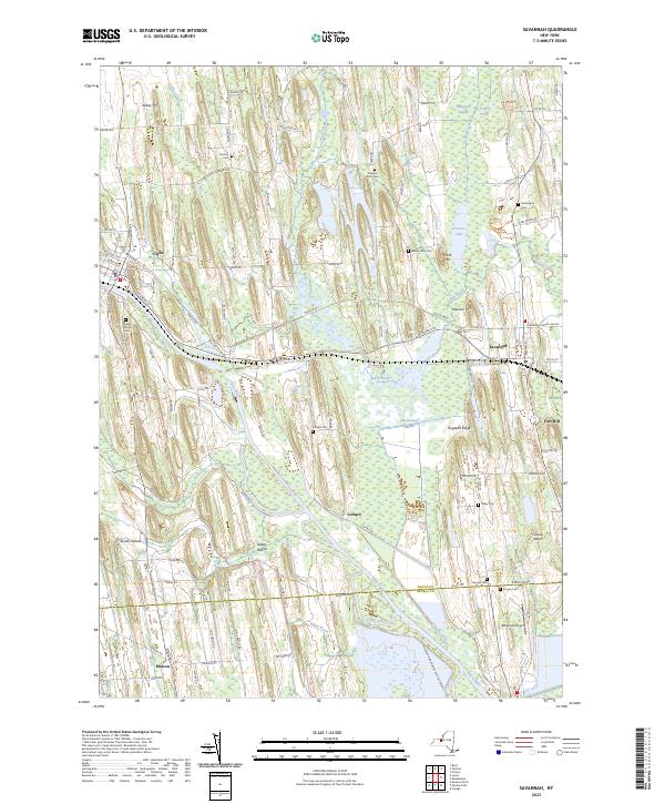
Current Savannah GeoPDF Map
1953 Map No. 129406, 1953 Map No. 129407, 1953 Map No. 129408, 1953 Map No. 136895 Northern Montezuma WMA Galen (43%), Junius (4%), Savannah (55%), Tyre (24%)
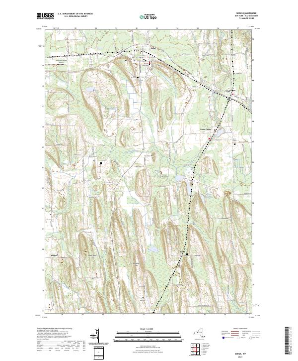
Current Sodus GeoPDF Map
1952 Map No. 136189, 1952 Map No. 136190 NA Arcadia (22%), Lyons (13%), Sodus (55%)
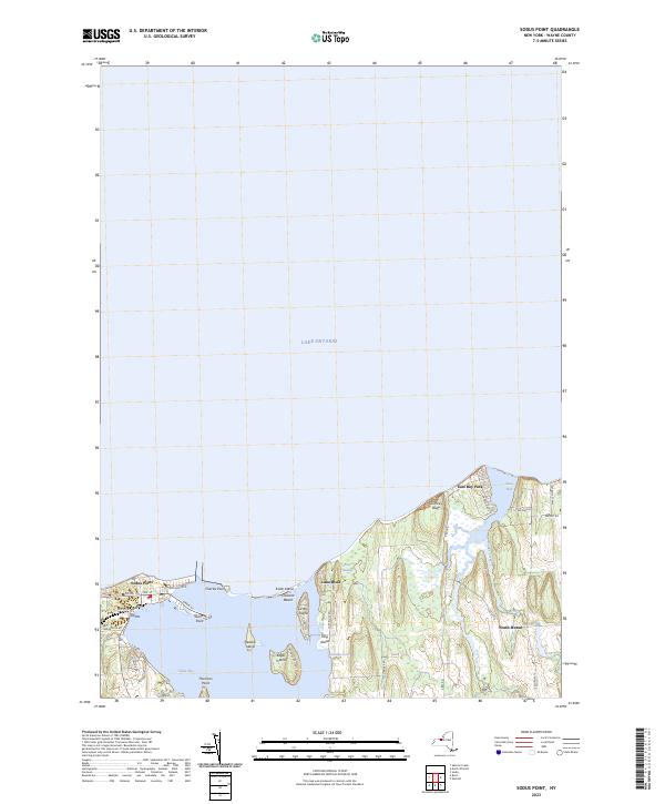
Current Sodus Point GeoPDF Map
1953 Map No. 136186, 1953 Map No. 136187, 1953 Map No. 136188, 1953 Map No. 136924 Lake Shore Marshes WMA Huron (24%), Sodus (4%)
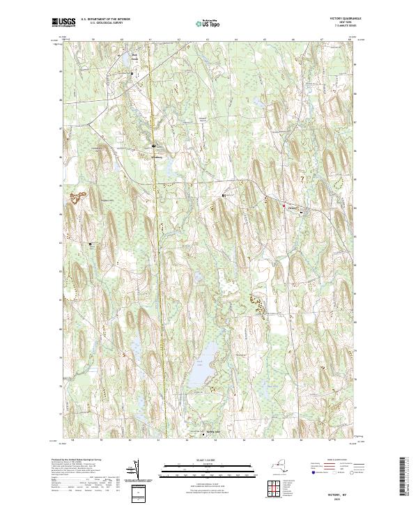
Current Victory GeoPDF Map
1954 Map No. 139502 Northern Montezuma WMA Butler (35%), Conquest (30%), Savannah (3%), Sterling (0%), Victory (75%), Wolcott (10%)
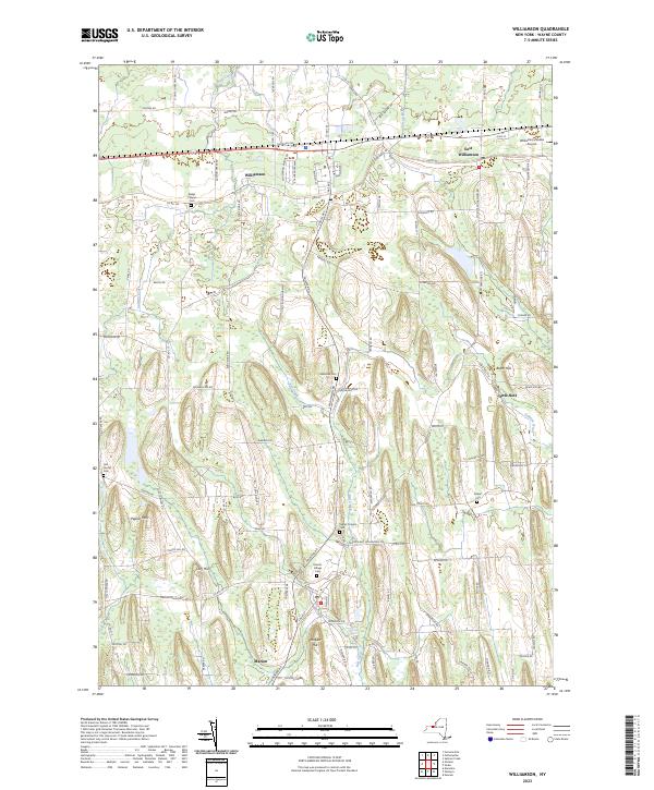
Current Williamson GeoPDF Map
1952 Map No. 140299, 1952 Map No. 140300, 1952 Map No. 140301 NA Arcadia (3%), Marion (98%), Palmyra (2%), Sodus (5%), Williamson (59%)
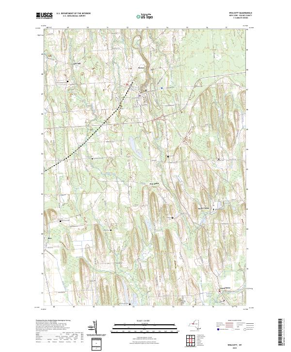
Current Wolcott GeoPDF Map
1953 Map No. 140359, 1953 Map No. 140360, 1953 Map No. 140361 Lake Shore Marshes WMA, Northern Montezuma WMA Butler (65%), Galen (1%), Huron (19%), Rose (35%), Savannah (3%), Wolcott (21%)

Westchester County

PDF (50-60 MB Download) Historical USGS Topo Maps State Lands (Links to DEC Website) Towns (Percent of Town’s Area)
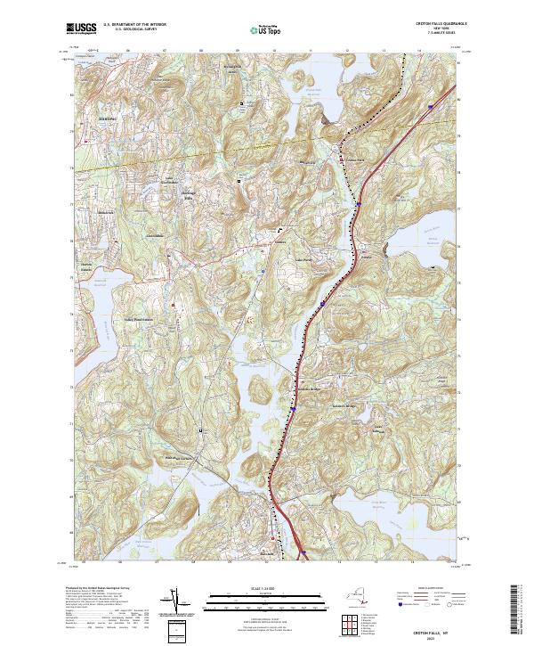
Current Croton Falls GeoPDF Map
1944 Map No. 137748, 1960 Map No. 137197, 1960 Map No. 137749, 1960 Map No. 137750, 1960 Map No. 137751 NA Bedford (20%), Carmel (20%), Lewisboro (22%), North Salem (32%), Somers (74%), Southeast (6%)
Current Glenville GeoPDF Map
NA NA Harrison (69%), Mount Pleasant (1%), North Castle (26%), Rye (69%), White Plains city (28%)
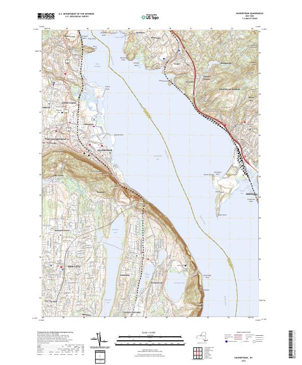
Current Haverstraw GeoPDF Map
1938 Map No. 139675, 1955 Map No. 129836, 1955 Map No. 129837, 1967 Map No. 129835, 1979 Map No. 129834 Minisceongo Creek Err, Montrose Point State Forest Clarkstown (45%), Cortlandt (36%), Haverstraw (31%), Mount Pleasant (0%), Ossining (20%), Stony Point (15%)
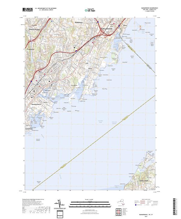
Current Mamaroneck GeoPDF Map
1947 Map No. 130436, 1955 Map No. 130438, 1955 Map No. 130439, 1967 Map No. 130440, 1967 Map No. 137428 NA Glen Cove city (27%), Harrison (30%), Mamaroneck (52%), Rye city (100%), Rye (31%), Scarsdale (3%), White Plains city (9%)
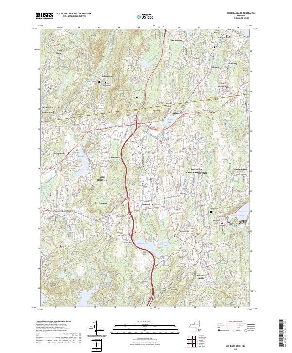
Current Mohegan Lake GeoPDF Map
1956 Map No. 130593, 1956 Map No. 130594, 1956 Map No. 130595, 1956 Map No. 130596, 1956 Map No. 137454 Salt Hill State Forest Carmel (13%), Cortlandt (12%), Putnam Valley (25%), Somers (23%), Yorktown (67%)
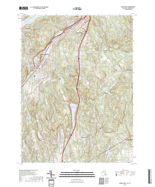
Current Mount Kisco GeoPDF Map
1955 Map No. 130695, 1955 Map No. 130696, 1955 Map No. 130697, 1955 Map No. 130698, 1955 Map No. 137387, 1982 Map No. 463434, 1998 Map No. 137389 NA Bedford (67%), Mount Kisco (100%), Mount Pleasant (1%), New Castle (31%), North Castle (63%), Somers (1%)
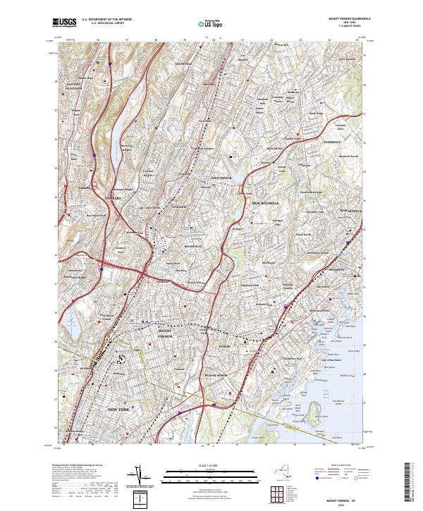
Current Mount Vernon GeoPDF Map
1956 Map No. 130718, 1956 Map No. 130719, 1966 Map No. 130720, 1966 Map No. 130721, 1966 Map No. 130722, 1966 Map No. 130723, 1995 Map No. 137393 Titus Mill Pond State Tidal Wetland Bronx borough (13%), Eastchester (100%), Greenburgh (11%), Mamaroneck (48%), Mount Vernon city (100%), New Rochelle city (100%), Pelham (100%), Scarsdale (74%), White Plains city (2%), Yonkers city (60%)
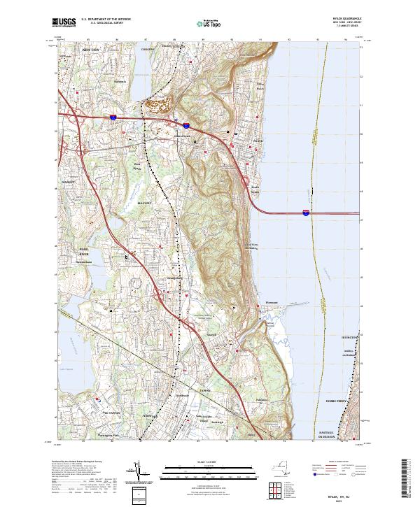
Current Nyack GeoPDF Map
1937 Map No. 128835, 1940 Map No. 128836, 1957 Map No. 128843, 1957 Map No. 128844, 1967 Map No. 128833, 1967 Map No. 128845, 1967 Map No. 128846 Piermont Marsh State Tidal Wetland Clarkstown (31%), Greenburgh (13%), Mount Pleasant (10%), Orangetown (87%)
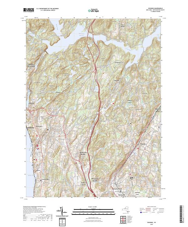
Current Ossining GeoPDF Map
1936 Map No. 135912, 1955 Map No. 135913, 1955 Map No. 135914, 1967 Map No. 135915, 1967 Map No. 135916, 1967 Map No. 135917, 1967 Map No. 137495 Salt Hill State Forest, Croton Gorge Unique Area Cortlandt (12%), Mount Kisco (0%), Mount Pleasant (26%), New Castle (69%), Ossining (78%), Somers (2%), Yorktown (33%)
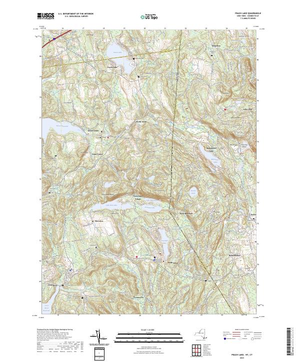
Current Peach Lake GeoPDF Map
1945 Map No. 135984, 1958 Map No. 135985, 1958 Map No. 135986, 1958 Map No. 135987, 1958 Map No. 135988, 1958 Map No. 135989, 1958 Map No. 136775, 1958 Map No. 136776, 1998 Map No. 136777 NA Bedford (1%), Lewisboro (56%), North Salem (68%), Pound Ridge (7%), Southeast (10%)
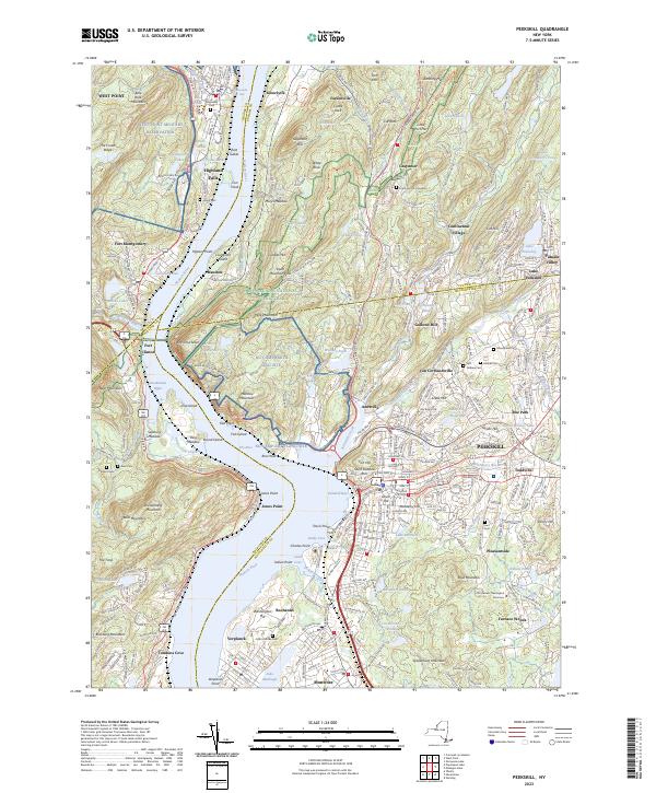
Current Peekskill GeoPDF Map
1947 Map No. 128944, 1957 Map No. 128946, 1957 Map No. 128948, 1957 Map No. 128949, 1957 Map No. 136783, 1957 Map No. 136784, 1957 Map No. 136785 NA Cortlandt (40%), Highlands (20%), Peekskill city (100%), Philipstown (24%), Putnam Valley (6%), Stony Point (28%)
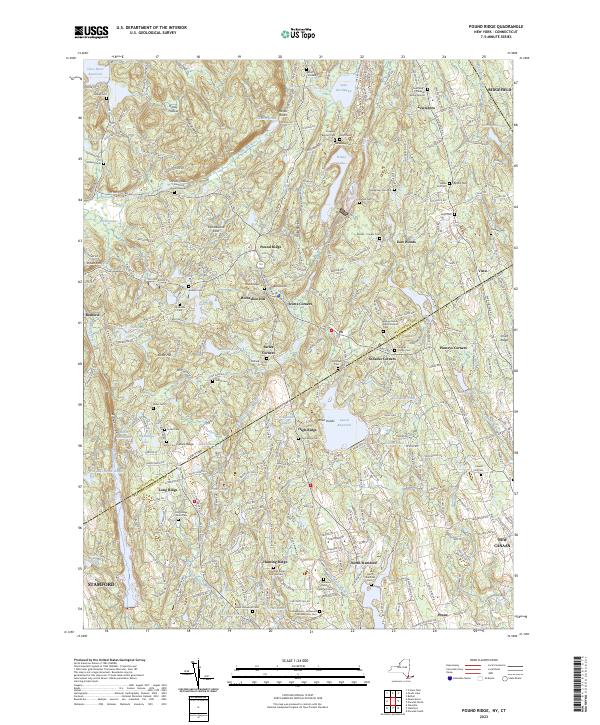
Current Pound Ridge GeoPDF Map
1947 Map No. 129165, 1951 Map No. 129166, 1960 Map No. 129171, 1960 Map No. 129172, 1960 Map No. 129173, 1960 Map No. 129174 NA Bedford (12%), Lewisboro (22%), North Castle (4%), Pound Ridge (93%)
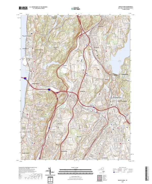
Current White Plains GeoPDF Map
1932 Map No. 144024, 1947 Map No. 140271, 1957 Map No. 140270, 1957 Map No. 140272, 1967 Map No. 140273, 1967 Map No. 140274, 1967 Map No. 140275 NA Greenburgh (72%), Harrison (1%), Mount Pleasant (62%), North Castle (7%), Ossining (2%), Scarsdale (23%), White Plains city (61%)
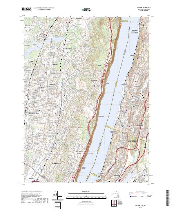
Current Yonkers GeoPDF Map
1966 Map No. 140393, 1966 Map No. 140394, 1998 Map No. 137051 NA Bronx borough (14%), Greenburgh (5%), Manhattan borough (1%), Orangetown (0%), Yonkers city (40%)

Wyoming County

PDF (50-60 MB Download) Historical USGS Topo Maps State Lands (Links to DEC Website) Towns (Percent of Town’s Area)
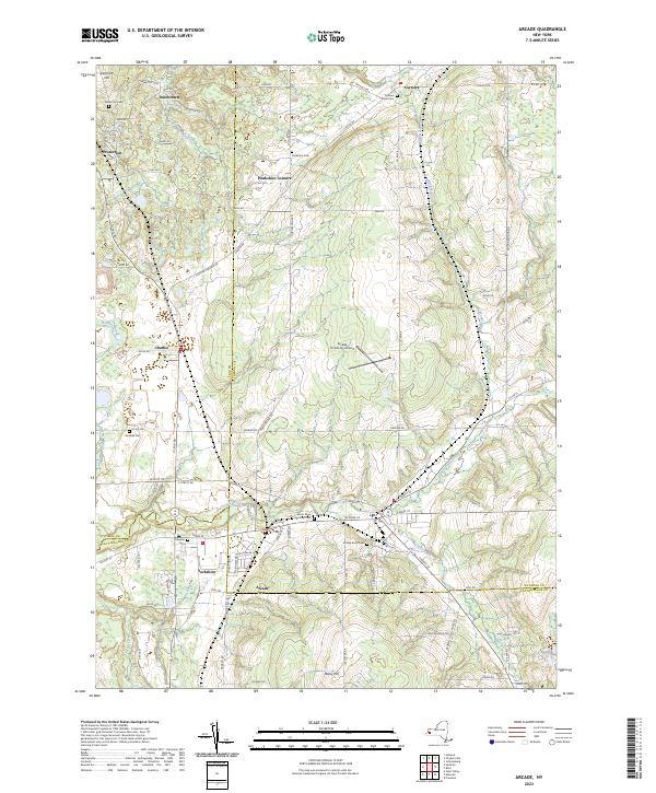
Current Arcade GeoPDF Map
1966 Map No. 136682, 1966 Map No. 136683 NA Arcade (57%), Freedom (12%), Holland (7%), Java (12%), Sardinia (19%), Yorkshire (14%)
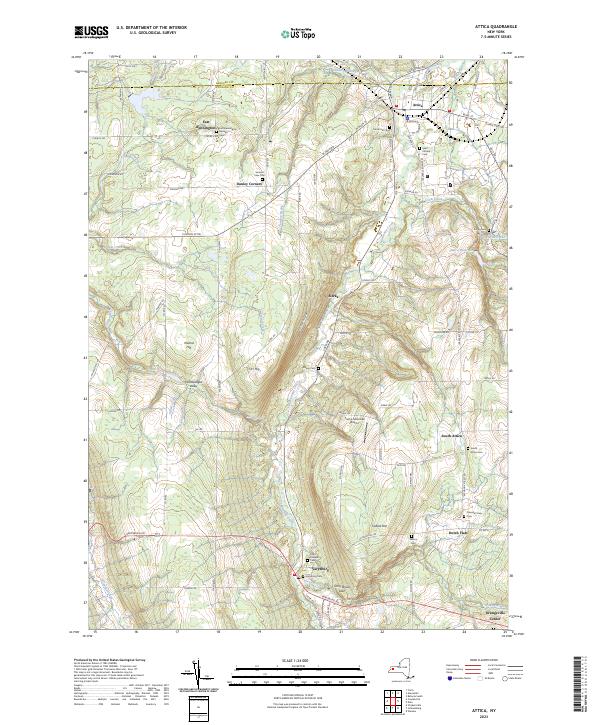
Current Attica GeoPDF Map
1949 Map No. 136721, 1949 Map No. 136725, 1951 Map No. 136724 NA Alexander (3%), Attica (49%), Bennington (38%), Darien (3%), Orangeville (18%), Sheldon (15%)
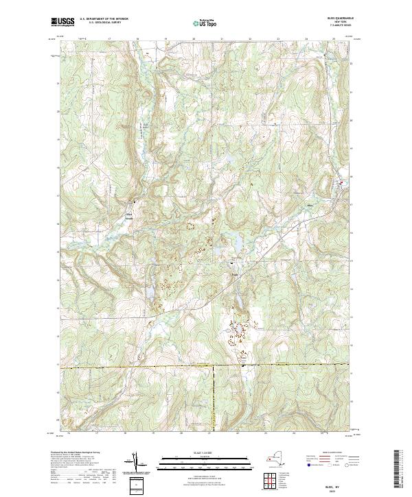
Current Bliss GeoPDF Map
1966 Map No. 123318, 1966 Map No. 123319 Lost Nation State Forest Arcade (43%), Centerville (13%), Eagle (50%), Freedom (12%), Java (9%), Wethersfield (10%)
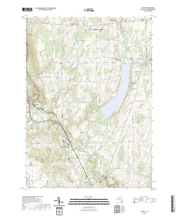
Current Castile GeoPDF Map
1943 Map No. 122836, 1972 Map No. 122839, 1972 Map No. 137158 Silver Lake Outlet WMA Castile (60%), Gainesville (35%), Perry (26%), Warsaw (27%)
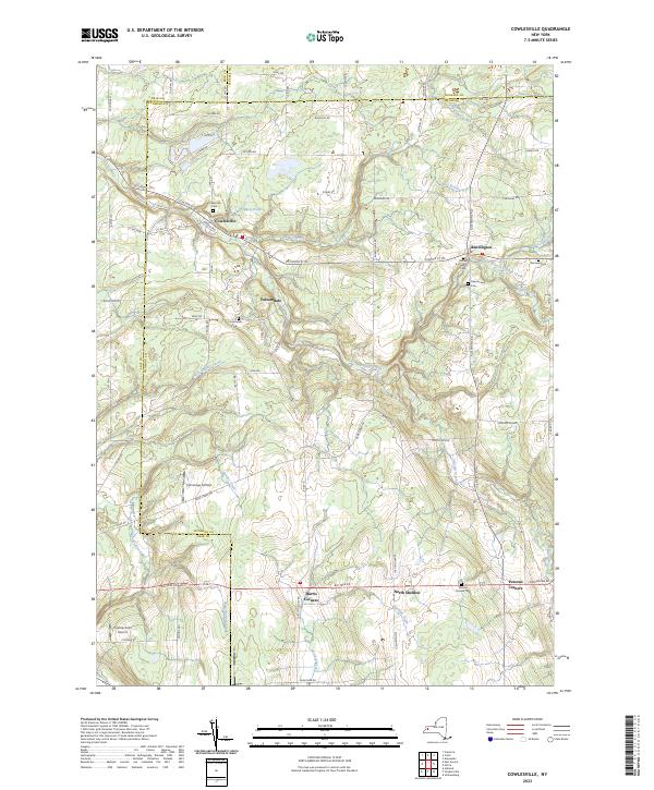
Current Cowlesville GeoPDF Map
1949 Map No. 137726, 1951 Map No. 137727 NA Alden (3%), Bennington (62%), Darien (5%), Marilla (14%), Sheldon (20%), Wales (11%)
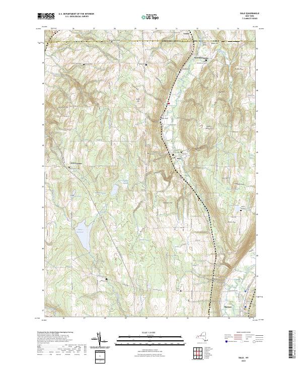
Current Dale GeoPDF Map
1949 Map No. 137942, 1949 Map No. 137944, 1949 Map No. 137945, 1951 Map No. 137943 Carlton Hill Mua Alexander (3%), Attica (51%), Bethany (3%), Middlebury (56%), Orangeville (19%), Warsaw (21%)
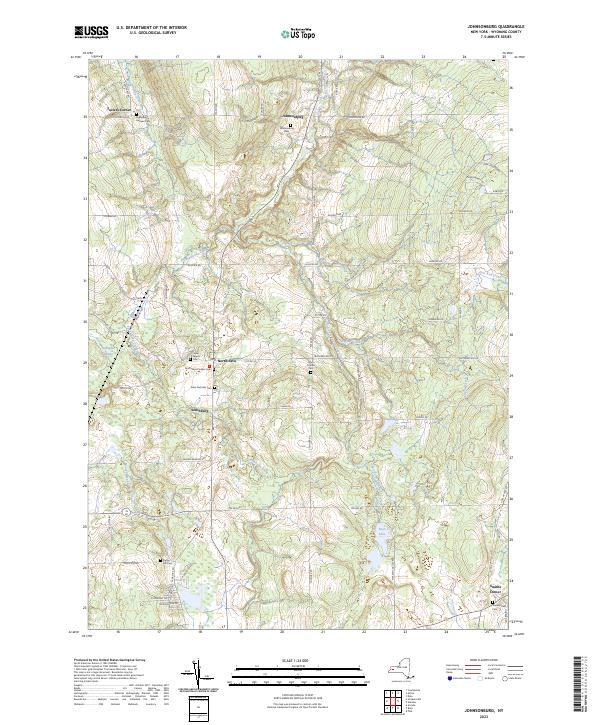
Current Johnsonburg GeoPDF Map
1966 Map No. 130096 Tonawanda Creek Fishing Access Parking Java (34%), Orangeville (31%), Sheldon (27%), Wethersfield (40%)
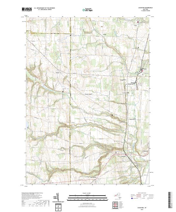
Current Leicester GeoPDF Map
1951 Map No. 130247, 1951 Map No. 130248, 1951 Map No. 130249 Groveland Secondary Trailway Covington (37%), Leicester (50%), Pavilion (5%), Perry (22%), York (37%)
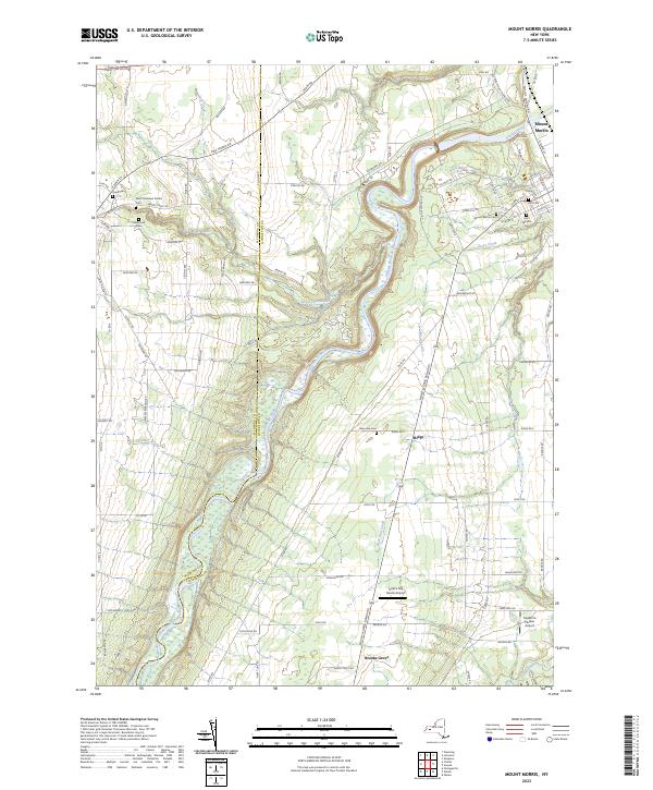
Current Mount Morris GeoPDF Map
1943 Map No. 130712, 1943 Map No. 130713, 1972 Map No. 130716, 1972 Map No. 130717 NA Castile (28%), Leicester (29%), Mount Morris (57%), Perry (16%)
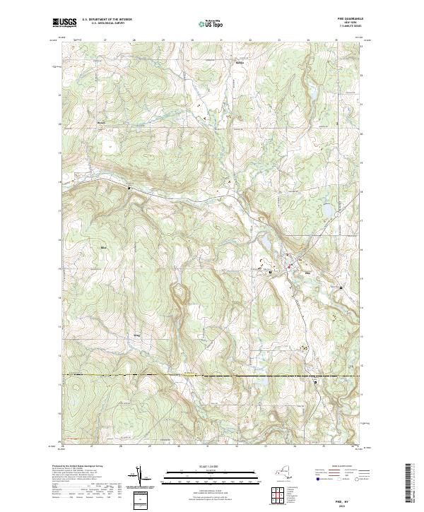
Current Pike GeoPDF Map
1943 Map No. 128996, 1972 Map No. 128998, 1972 Map No. 136801 Wiscoy Creek Fishing Access, Lost Nation State Forest, Cold Creek State Forest Centerville (13%), Eagle (50%), Gainesville (10%), Hume (13%), Pike (64%), Wethersfield (9%)
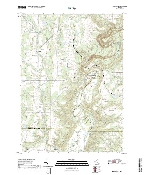
Current Portageville GeoPDF Map
1943 Map No. 129125, 1972 Map No. 129128, 1972 Map No. 129129, 1972 Map No. 129131 East Koy Creek Fishing Access, Wiscoy Creek Fishing Access, Genesee Valley WMA Castile (11%), Gainesville (8%), Genesee Falls (100%), Granger (10%), Hume (15%), Mount Morris (0%), Pike (36%), Portage (46%)
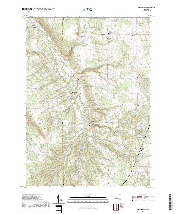
Current Strykersville GeoPDF Map
1957 Map No. 139925, 1957 Map No. 139926 NA Holland (25%), Java (45%), Sheldon (37%), Wales (20%)
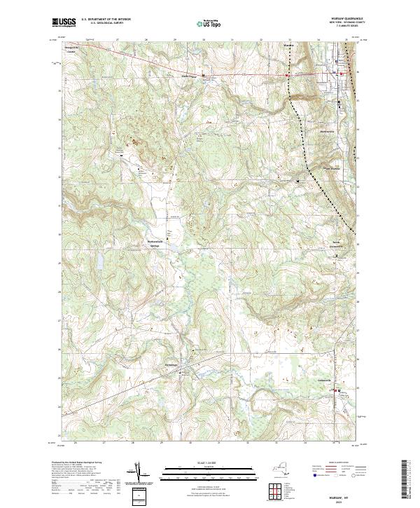
Current Warsaw GeoPDF Map
1943 Map No. 140044, 1972 Map No. 136990, 1972 Map No. 140045 NA Gainesville (46%), Orangeville (32%), Warsaw (35%), Wethersfield (41%)
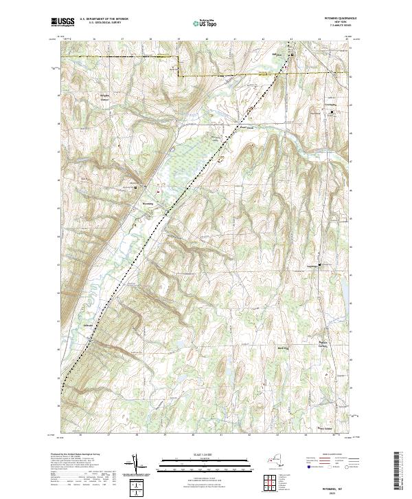
Current Wyoming GeoPDF Map
1951 Map No. 137048, 1951 Map No. 137049, 1951 Map No. 140389, 1951 Map No. 140390 NA Bethany (2%), Covington (63%), Middlebury (44%), Pavilion (8%), Perry (37%), Warsaw (16%)

Yates County

PDF (50-60 MB Download) Historical USGS Topo Maps State Lands (Links to DEC Website) Towns (Percent of Town’s Area)
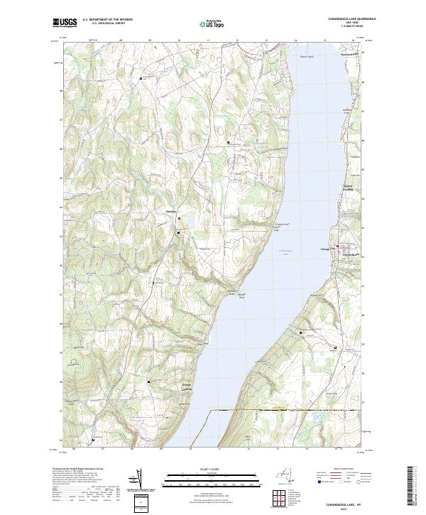
Current Canandaigua Lake GeoPDF Map
1951 Map No. 122751, 1951 Map No. 122752, 1951 Map No. 122753, 1951 Map No. 122754 Bare Hill Unique Area, Skenoh Island WMA, Canandaigua Lake Access Bristol (5%), Canandaigua city (11%), Canandaigua (58%), East Bloomfield (1%), Gorham (21%), Middlesex (8%), South Bristol (4%)
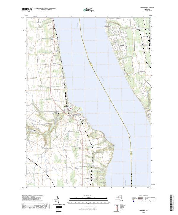
Current Dresden GeoPDF Map
1943 Map No. 137338, 1943 Map No. 137895, 1943 Map No. 137897 NA Benton (9%), Lodi (1%), Milo (5%), Ovid (10%), Romulus (28%), Torrey (90%), Varick (0%)
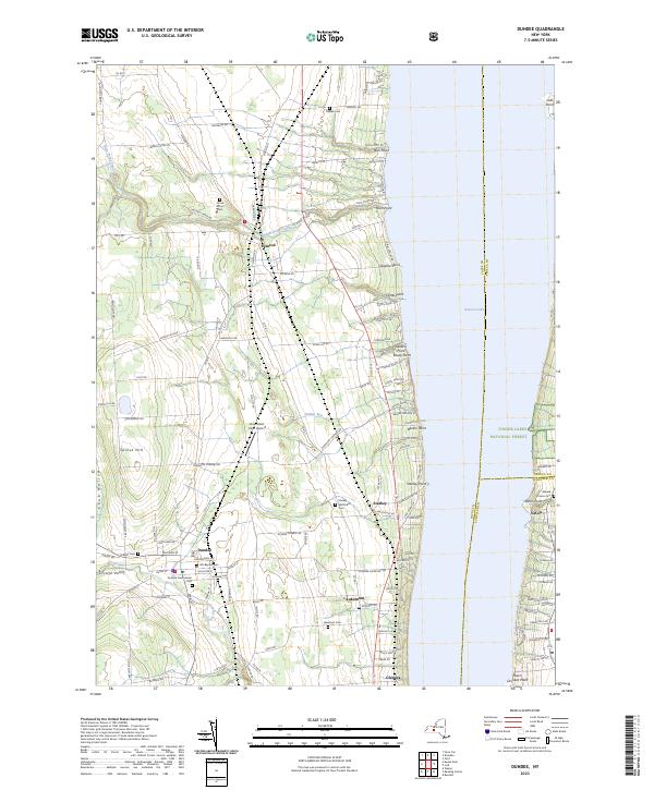
Current Dundee GeoPDF Map
1942 Map No. 137916, 1942 Map No. 137917, 1942 Map No. 137918 Seneca Lake Boat Launch Barrington (5%), Hector (3%), Lodi (14%), Milo (37%), Starkey (68%), Torrey (2%)
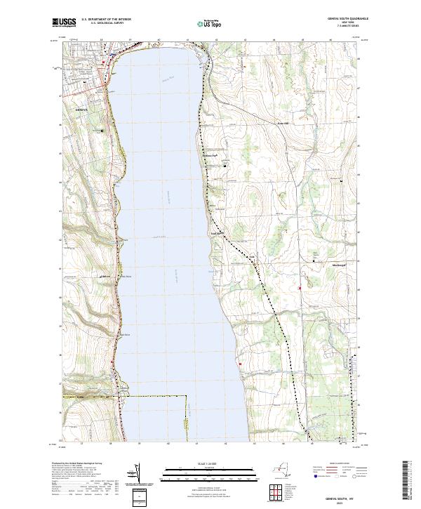
Current Geneva South GeoPDF Map
1953 Map No. 129495, 1953 Map No. 129496, 1953 Map No. 129497, 1953 Map No. 129498, 1953 Map No. 129499 NA Benton (6%), Fayette (34%), Geneva city (56%), Geneva city (100%), Geneva (36%), Romulus (0%), Varick (39%), Waterloo (1%)
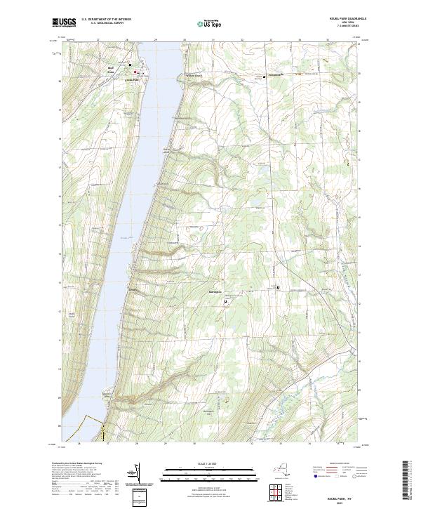
Current Keuka Park GeoPDF Map
1942 Map No. 130027, 1942 Map No. 137294, 1942 Map No. 137295 NA Barrington (77%), Jerusalem (18%), Milo (32%), Wayne (1%)
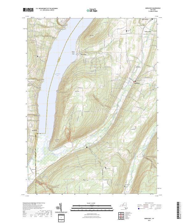
Current Middlesex GeoPDF Map
1942 Map No. 130556, 1942 Map No. 130558, 1942 Map No. 130559 Bare Hill Unique Area, Italy Hill State Forest, High Tor WMA – Clark Gully, High Tor WMA – Parrish Gully, High Tor WMA, Woodville Boat Launch Italy (45%), Middlesex (80%), Naples (3%), Potter (1%), South Bristol (19%)
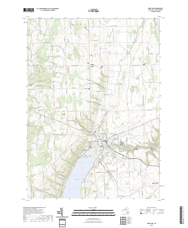
Current Penn Yan GeoPDF Map
1942 Map No. 128952, 1942 Map No. 128953, 1942 Map No. 136786 NA Benton (72%), Jerusalem (13%), Milo (26%), Potter (2%), Torrey (8%)
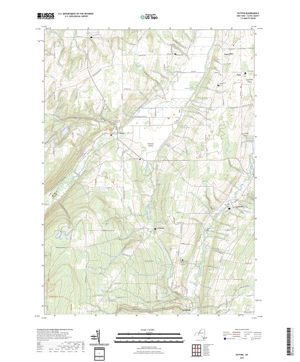
Current Potter GeoPDF Map
1942 Map No. 129147, 1942 Map No. 136829 Italy Hill State Forest Italy (2%), Jerusalem (28%), Middlesex (10%), Potter (86%)
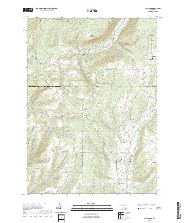
Current Prattsburg GeoPDF Map
1942 Map No. 129177, 1942 Map No. 129178 Italy Hill State Forest, High Tor WMA – Parrish Gully, High Tor WMA Italy (50%), Naples (4%), Prattsburgh (65%)
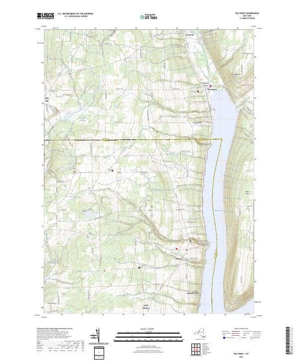
Current Pulteney GeoPDF Map
1942 Map No. 129195, 1942 Map No. 129196 Italy Hill State Forest Italy (3%), Jerusalem (40%), Prattsburgh (4%), Pulteney (70%)
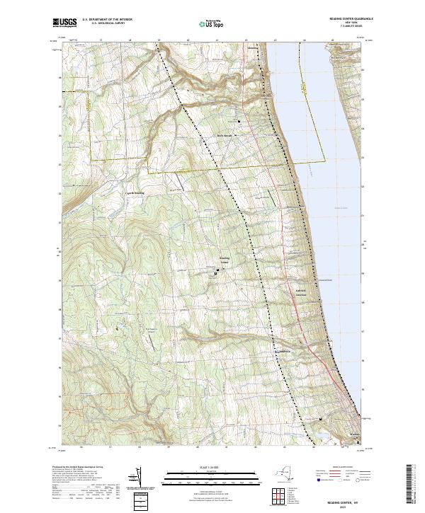
Current Reading Center GeoPDF Map
1950 Map No. 136032, 1950 Map No. 136033, 1950 Map No. 136034, 1950 Map No. 136035 Sugar Hill State Forest Barrington (1%), Dix (6%), Hector (7%), Orange (2%), Reading (100%), Starkey (32%), Tyrone (11%)
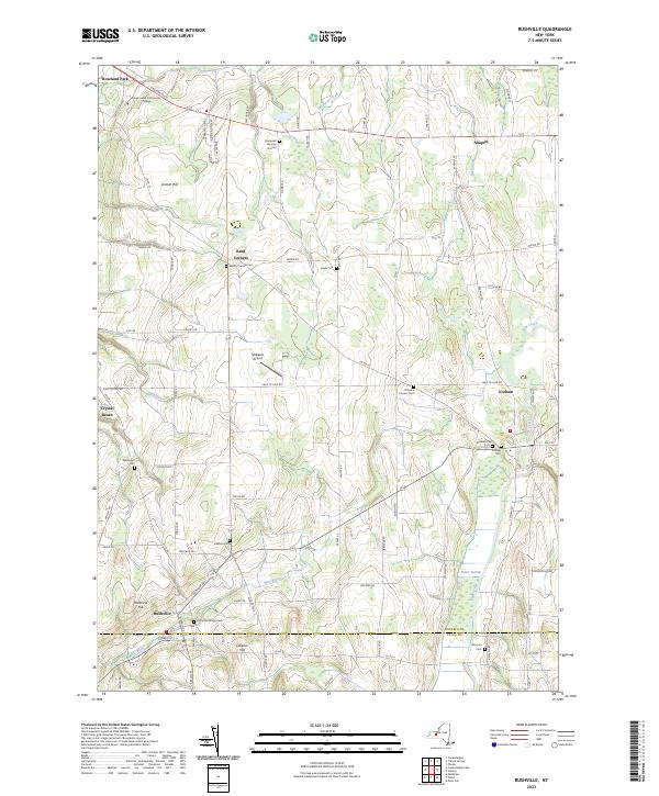
Current Rushville GeoPDF Map
1952 Map No. 129258, 1952 Map No. 129259, 1952 Map No. 129260 NA Canandaigua (1%), Gorham (78%), Hopewell (22%), Middlesex (2%), Potter (12%), Seneca (1%)
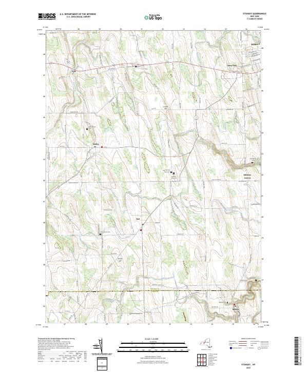
Current Stanley GeoPDF Map
1952 Map No. 139873, 1952 Map No. 139874 NA Benton (13%), Geneva city (13%), Geneva (40%), Gorham (1%), Potter (0%), Seneca (79%)
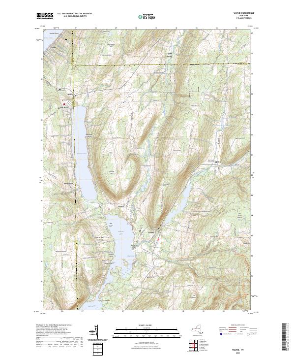
Current Wayne GeoPDF Map
1953 Map No. 140089, 1953 Map No. 140090 Sugar Hill State Forest, Waneta Lamoka WMA Barrington (16%), Bradford (4%), Jerusalem (0%), Orange (10%), Tyrone (89%), Wayne (33%)

What a week it’s been … ๐Ÿ”ฅ๐Ÿ“œ ๐Ÿ‘จ๐Ÿปโ€๐Ÿš’

Over the past week I’ve literally spent 17 plus hours sorting through wet, smokey and increasingly moldy papers trying to save whatever Albany history I can before it’s forever gone. While maybe John Wolcott will never be as famous as Erastus Corning or Nelson Rockeller, the truth is activists like him preserved some of the city’s most important history and lands, raised important questions made a difference again the Democratic machine, often at great personal cost.

While he did pretty well when “Republican” Theresa Cook (ala that time Rezsin Adams ran as a “Republican” for county legislature) was running the county clerk’s office, other times he was attacked tooth and nail for his performance as a title searcher for the county, even though he was probably the best title searcher and researcher of deeds and history the county ever had. I came across his lawsuit today drying out his papers along with the numerous exhibits on Albany County corruption and sneaky misdeeds or the Erastus Corning machine and by that time Jim Coyne’s county operations. The Corning machine was only really interested in punishing male dissidents, they couldn’t see in their minds that women could have any influence of politics. Ultimately it was the federal District Court that sided with him and had him reinstated but he fought for years to get the pension credit he deserved going back to the days when he was a consultant for Fort Orange 787 dig. The Fort Orange file got wetter than I thought but we got it apart drying. It will be saved. And while, maybe the history books write differently, certainly it was John Wolcott who helped to take down Jim Coyne through alerting the FBI to Coyne’s crooked deal over the Knickerbocker Arena, although like with Fort Orange and Paul Huey, the credit can’t necessarily be just his own.

And then as I was going through the papers, putting dried ones away I heard a screech and bang, and a car crashed into the traffic light pole at South Swan and Morton Avenue, causing the 100 plus lb traffic light to break free of the wire. The clearly fleeing car then took off leaking what appeared to be coolant. Police showed up, hauled the broken stop light off the road, talked to the neighbors and took off. Not sure what happened to the fleeting crashed car, I was too busy sorting papers. Albany is going downhill rapidly, things were looking up in the city not that long ago. I’m just glad I’ve been taking the bus there rather than driving especially with the neighborhoods getting so rough. I still remember that last time I walked down to Sheridan Hollow to visit John, a firearm rang out as somebody shot out a car window.

While working on John’s papers, I’ve been going through the EIS for a project in Troy and some Pine Bush issues in Guilderland with some tax data and GIS Mapping. People have gotten to know all the amazing things that I can do and I get more and more requests. It seems like everywhere I’m going I’m getting sucked into fights against City Hall everywhere, me with public records and free software, going up against million dollar reports with expensive professional software, internal only data and decades of training and experience. But if we don’t raise questions and fight development then who will? It’s tough as these professionals have big budgets and skills, but if house wife Jane Jacobs could stop Robert Moses, then so can ordinary people like myself. Not going to win every fight but it’s good to raise questions and stop bad development where we can. Even if it’s a pain to the local Bob Moses of today. It’s important we protect open space. Even if it involves some risk to myself and makes me not trust or respect most government workers.

Beyond all those wet and smokey papers and battling City Hall it’s been a crazy week for sure. The legislative session is wrapping up and I’ve been swamped with work, I was going through agendas for work well into the night on Saturday night. It’s been a crush at work and when I’m not in the office most of the time until late I’ve been drying out papers. I did get some bird watching in at Five Rivers Environmental Education Center this morning – saw a red tailed hawk being harassed by a few sparrows on the way out walking out there. I continue to back up, photograph and store important documents electronically in case of a disaster.

And then I’m also finally dealing with some of my own issues in my life. The counseling I’m getting is helping, it seems consistent with the advice I’m reading from trustworthy sources and publications on the internet. But change comes hard especially with bad habits of both negative thinking and repeated thoughts in thinking I’ve had ingrained for two decades now. I’m trying to change but it’s hard. I’m certainly learning a lot, becoming a better person because of counseling.

And I was doing better until the mixed emotions of Mr. Wolcott’s house fire – grief and sense of lostmy work sorting and carefully cataloging documents would be forever lost. But we saved a lot. But the shock and horror of it all, seeing that house in such disarray and burnt – that only a week ago before the fire when I was sorting and filing papers things looked so different. Plus all that stuff going to the Rensselaer landfill to be buried and forever viewed from my downtown office as a dirt and grass covered hill. Fire can be so bad, especially in the urban areas. Then I saw the other side tonight out in the country, the place I grew up. My parents neighbors, the ones who live in trailers and raise pigs and cows, were having a big ol bonfire, drinking beer burning an old couch, mattress and pallets with lots of black smoke. I’m so jealous of their homestead, even if they are what the government calls poor people who live in rundown trailers and barns. Kind of like that film about Appalachia I’ve been watching. But the country life is a life I’ll get to eventually, saving a bit each paycheck.

… Fire can destroy but it can cleanse too. That’s what my therapist reminds me.

August 15, 2020 Evening

Good evening! Cloudy and 70 degrees at the Finger Lakes National Forest. โ˜๏ธ There is a south-southeast breeze at 9 mph. ๐Ÿƒ. The dew point is 64 degrees. The skies will clear tomorrow around 5 am.

Final night of summer vacation. ๐ŸŒƒ All things have to come to an end. It’s been a very unusual year with the pandemic smoldering all around the world ๐ŸŒŽ but in some ways it inspired me to find new places to visit and new forms of socially distant recreation. ๐Ÿ˜ท Without the pandemic I might not have explored the Keuka Outlet Trail or the Catherine Valley Rail Trail or the Catherine Swamp WMA ๐Ÿธ and missed some really beautiful and wild country.

I don’t know how I had never driven or walked ๐Ÿค” Rock Cabin Road in Watkins Glen but it sure is beautiful. I wish I hadn’t left my binoculars in the truck as the marsh was full of wildlife ๐Ÿฆ† I wish I could have seen up close. It looks like there are some good paddling possibilities from the marsh but I didn’t have time with the threat of thunderstorm โ›ˆ and the sky getting dark. When I started to hear rumbles and looked at the radar I was concerned but if the weather was bad enough I could have probably thumbed ๐Ÿ‘๐Ÿป a ride back to the truck or found a relatively safe low lying place in the marsh or along the road. But it sure was dusty. ๐ŸŒซ๏ธ

I had tuna fish ๐Ÿ  salad ๐Ÿฅ— for dinner with several beers to wash it down. ๐Ÿป I’ve used up most of the last of the cold food so I didn’t buy ice today. I doubt the mayonese or sliced cheese ๐Ÿง€ will go bad if it gets a bit warm by evening but if it does its not a big loss. ๐Ÿ”ฅ Had a nice roaring fire for a while but I’ve let it burn down by bed time. I tried to straighten up camp โ›บ for easier take down after spending nine days at this site. Returned a bunch of cans at Walmart this evening so I have a lot less trash to bring home and I got my deposit back and a fresh case of beer ๐Ÿป. I know I won’t be littering and my campsite super clean when I leave.

Tonight will have a chance of showers and thunderstorms, mainly before 9pm. Mostly cloudy ๐ŸŒง, with a low of 65 degrees at 5am. Five degrees above normal. Maximum dew point of 64 at 6pm. South wind 5 to 9 mph. Chance of precipitation is 30%. New precipitation amounts of less than a tenth of an inch, except higher amounts possible in thunderstorms. In 2019, we had mostly clear skies in the evening, which became partly cloudy by the early hours of the morning. It was humid. It got down to 63 degrees. The record low of 41 occurred back in 1972.

Tonight will have a Waining Crescent ๐ŸŒ˜ Moon with 12% illuminated. The darkest hour is at 1:13 am, followed by dawn at 5:46 am, and sun starting to rise at 6:16 am in the east-northeast (70ยฐ) and last for 3 minutes and 3 seconds. Sunrise is one minute and 3 seconds later than yesterday. ๐ŸŒ„ The golden hour ends at 6:55 am with sun in the east-northeast (77ยฐ). Tonight will have 10 hours and 8 minutes of darkness, an increase of 2 minutes and 32 seconds over last night.

Tomorrow will have a slight chance of showers. Mostly sunny ๐ŸŒฆ, with a high of 80 degrees at 3pm. One degrees below normal, which is similar to a typical day around August 18th. Maximum dew point of 64 at 8am. Southeast wind 7 to 9 mph. Chance of precipitation is 20%. A year ago, we had mostly sunny skies in the morning, which became rain by afternoon. It became humid as the day progressed. The high last year was 81 degrees. The record high of 97 was set in 1936.

I am glad that I had coffee โ˜• for tomorrow morning. I have to think that I’m an caffeine addict but I’m sure was much happier this morning with my cups of joe. I have muffins for tomorrow which will be good. โ˜บ

I am in no rush to get going tomorrow and packed up and heading home. ๐Ÿก It all will depend if it’s raining โ˜” come morning but I’m quite content to lay back in the hammock and read a bit before taking down camp and then doing some of the Taughannock Rim Trail before heading home. Still thinking about going through Marathon and taking NY 23 at least part of the way home. Summer vacation has to come to an end but there are always future trips or so I hope. ๐Ÿ– COVID-19 is real and out there, but I tried to stay safe while enjoying the Finger Lakes.

Then it’s back to work Monday ๐Ÿ‘จ๐Ÿปโ€๐Ÿซ but with remote work ๐Ÿ–ฅ๏ธ it’s either a matter of going down to the library parking lot or using my new phone to get done what needs to be done. All the signs point ๐Ÿ‘‰๐Ÿป to a busy week next week but after my week off camping without cell service at camp I’m ready to make it happen.

I was looking and it seems like I need to renew my blog contract ๐Ÿ“œ come October. I’ll probably do it sooner than that and do the 3 or more years – whatever is the cheapest rate. ๐Ÿ’ต I like doing my blog and while I don’t make any money from it, really isn’t that expensive and it gives me an opportunity to think ๐Ÿค” and express my thoughts ๐Ÿ’ญ and experiences ๐ŸŒฒ๐ŸŒณ๐ŸŒฒ.

I saw another one of my colleagues bought a house ๐Ÿก. Nice mid-century modern house, probably in the more suburban part of the city. โ˜บ๏ธ Yeah, I’m a bit jealous but it’s certainly not may way of living. But I’m only a few steps behind him and if I keep saving and investing I’ll be closer to that goal ๐Ÿฅ…. Of course, I think if rather live somewhere surrounded by corn fields ๐ŸŒฝ or forest ๐ŸŒฒ, some place small without grid power ๐Ÿ”Œ where I can have fires ๐Ÿ”ฅ, shoot guns ๐Ÿ”ซ and live the good life without any neighbors to give a damn. With cheap taxes ๐Ÿ’ฐ, no special government permission to carry guns ๐Ÿค  or improve your land or run my hobby farm ๐Ÿ. Land in rural areas is a lot cheaper and freer – especially in other states but it’s hard to make a living in the rural countryside, ๐ŸŒฒ๐Ÿบ๐Ÿฎ๐Ÿฆ‹๐ŸŒฑ although maybe the pandemic and increased remote work is changing that. โŒจ๏ธ๐Ÿ–ฑ๏ธ

As Malvina Reynolds once sung, “Little Boxes made out of ticky tacky”. If that was my only choice, I’d choose my moldy apartment. ๐Ÿ˜๏ธ

While my hammock stinks tonight after getting wet today in the rain and the Martin’s Permethrin I applied earlier in the week being somewhat unlocked, I continue to be very happy ๐Ÿ˜Š with the replacement hammock I bought more than two years ago to replace the shitty Eno / LL Bean branded hammock that had bad carabiners and then only months later ripped and wouldn’t be warranted. ๐Ÿ˜ฏ While I got the LL Bean with credit card reward points ๐Ÿ’ณ, it was expensive and within a year was placed in the camp trash ๐Ÿ—‘ and ultimately burnt to a crisp. ๐Ÿ”ฅ The cheap Chinese replacement I got on Ebay for $15 has lasted more than two years now and is still in good shape. That said, I do like the Eno straps, I still use them today with the China hammock. ๐Ÿ‡จ๐Ÿ‡ณ God bless those factory ๐Ÿญ slave workers who make quality inexpensive products.

In four weeks on September 12 the sun will be setting in the west (276ยฐ) at 7:22 pm,๐ŸŒ„ which is 46 minutes and 14 seconds earlier then today. In 2019 on that day, we had partly cloudy, rain showers and temperatures between 68 and 51 degrees. Typically, you have temperatures between 74 and 53 degrees. The record high of 94 degrees was set back in 1947.

Looking ahead, Average High is 60 ๐Ÿ‚ is in 2 months, Northern Zone Regular Season ๐ŸฆŒ is in 9 weeks, Halloween ๐ŸŽƒ and the Blue Moon ๐ŸŒ• is in 11 weeks, Small Business Saturday ๐Ÿ›๏ธ is in 15 weeks, Repeal of Prohibition Day ๐Ÿบ is in 16 weeks, Bill of Rights Day ๐Ÿ“œ is in 4 months, Boxing Day ๐ŸฅŠ is in 19 weeks, Static Electric Shock Day ๐Ÿงผ is in 21 weeks, National Cheese Lovers Day ๐Ÿง€ is in 23 weeks, Save the Pine Bush Turns 43 ๐Ÿฆ‹ is in 25 weeks, 5:30 PM Sunset ๐ŸŒ† is in 27 weeks and Snow Moon ๐ŸŒ• is in 28 weeks.

Sailboats Along Grand Isle