Map: Cascade Valley State Forest

Download a High Resolution JPEG Image of the Cascade Valley State Forest or an Adobe Acrobat Printable PDF of the Cascade Valley State Forest.

Bookmark my free Interactive GPS Map for your phone:
https://andyarthur.org/ny
... shows your location as a blue dot in relationship to campsites, trails, state land. This online map requires cell service, won't work in remote country, so also bring a paper map.
Free Download of New & Historical USGS 1:24k Topograpic Maps
Interactive maps with backcountry and roadside camping: New York, Pennsylvania, West Virginia & Vermont. List of NYS DEC Lean-Tos and Firetowers.
Google Spreadsheet with Roadside, Primitive and Pay Campsites
More about Cascade Valley State Forest...
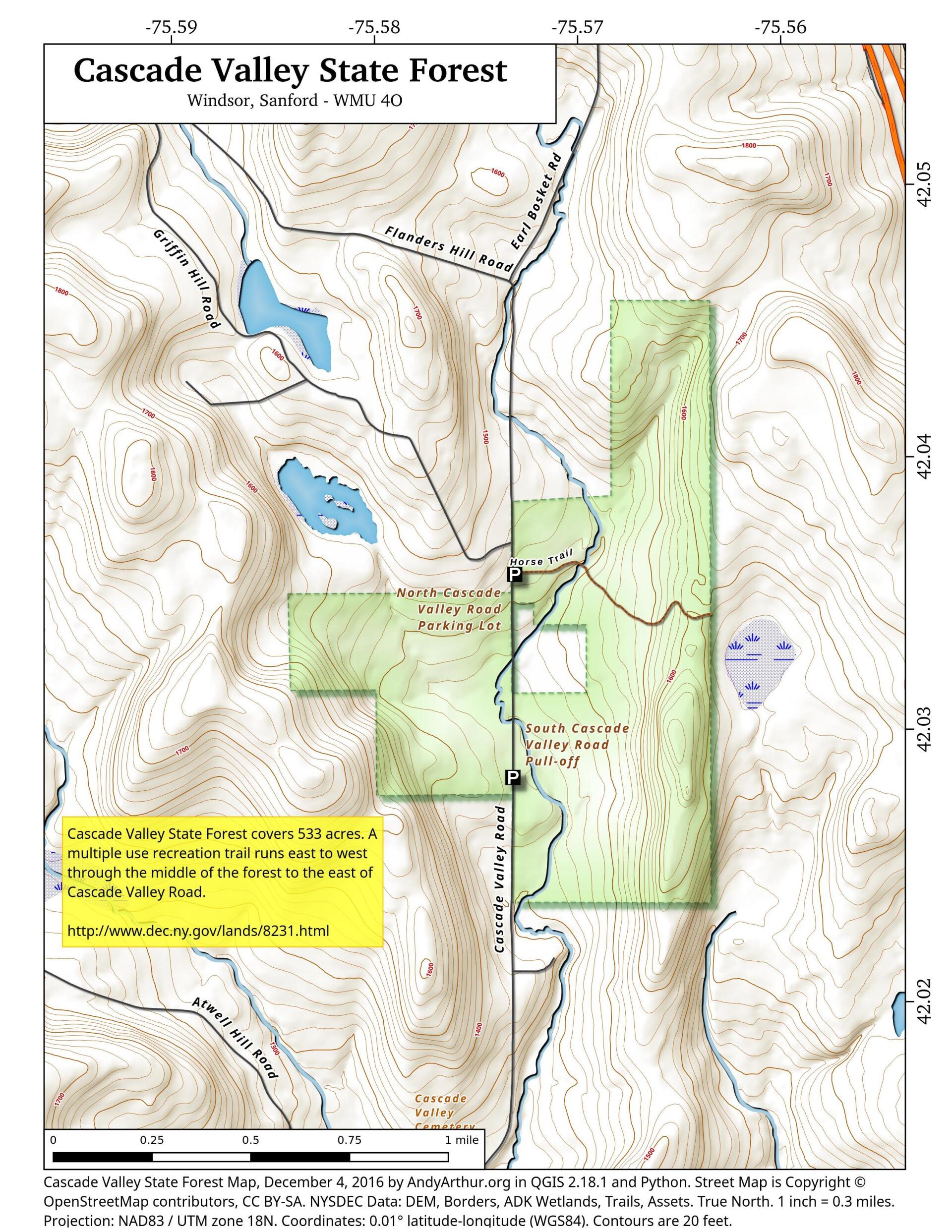
Cascade Valley State Forest covers 533 acres. A multiple use recreation trail runs east to west through the middle of the forest to the east of Cascade Valley Road. The forest was acquired in 1937 from one individual land owner. The forest is named for the tributary flowing through it which eventually flows into Cascade Creek.
http://www.dec.ny.gov/lands/8231.html
... photos, maps and other content from from Broome County.