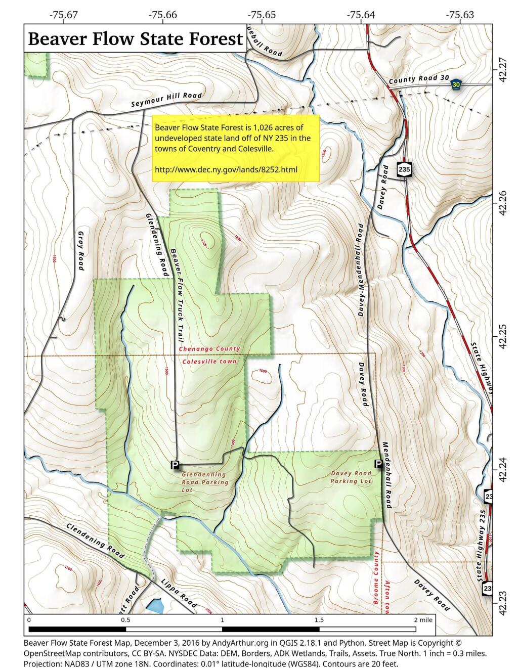
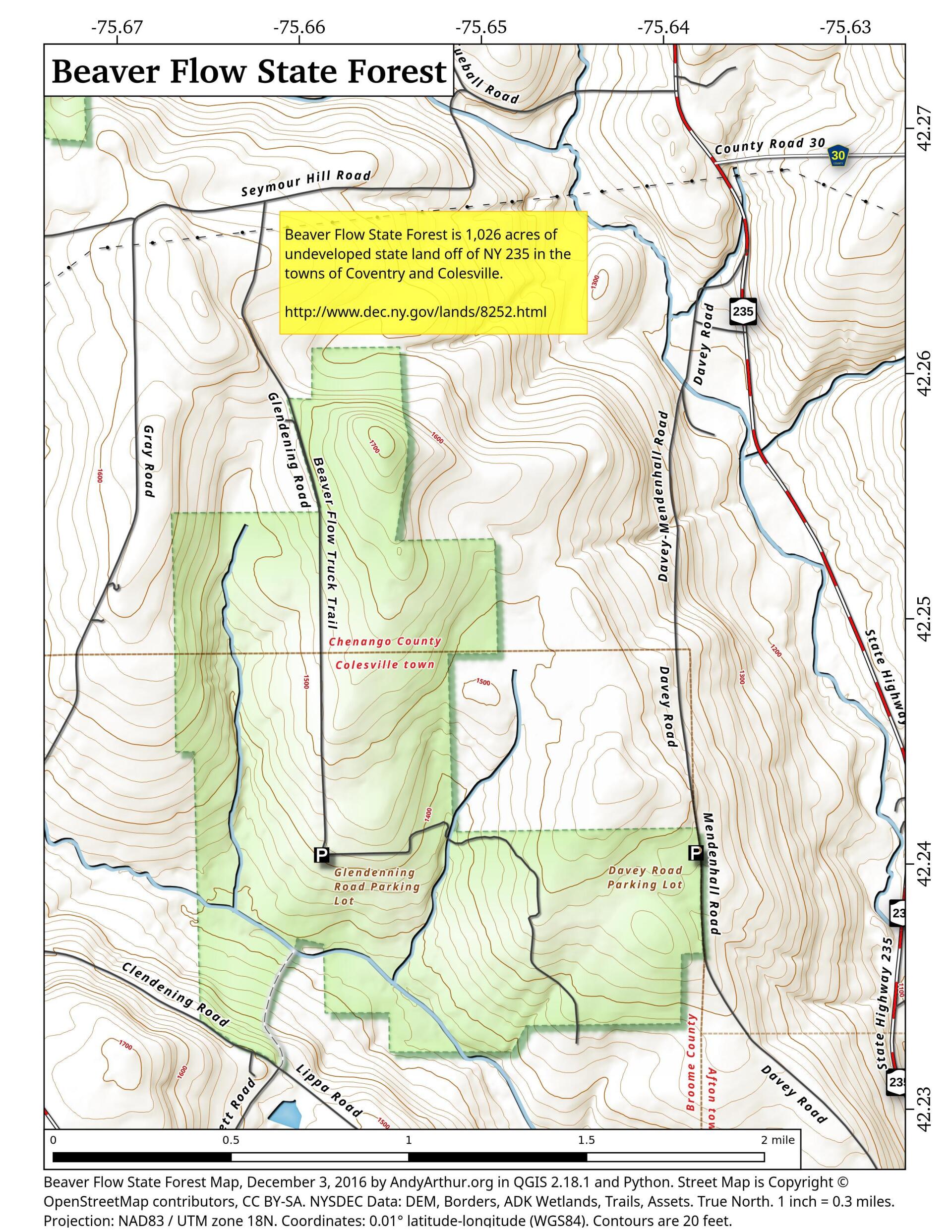
Map: Beaver Flow State Forest
Download a High Resolution JPEG Image of the Beaver Flow State Forest or an Adobe Acrobat Printable PDF of the Beaver Flow State Forest.

Bookmark my free Interactive GPS Map for your phone:
https://andyarthur.org/ny
... shows your location as a blue dot in relationship to campsites, trails, state land. This online map requires cell service, won't work in remote country, so also bring a paper map.
Free Download of New & Historical USGS 1:24k Topograpic Maps
Interactive maps with backcountry and roadside camping: New York, Pennsylvania, West Virginia & Vermont. List of NYS DEC Lean-Tos and Firetowers.
Google Spreadsheet with Roadside, Primitive and Pay Campsites
More about Beaver Flow State Forest...
Beaver Flow State Forest, also known as Broome-Chenango Reforestation Area # 1, is 1028 acres of State land located along the southern boundary of the Town of Coventry in Chenango County and the northern edged of the Town of Colesville in Broome County.
http://www.dec.ny.gov/lands/8252.html
... photos, maps and other content from from Broome County.