Auger Falls
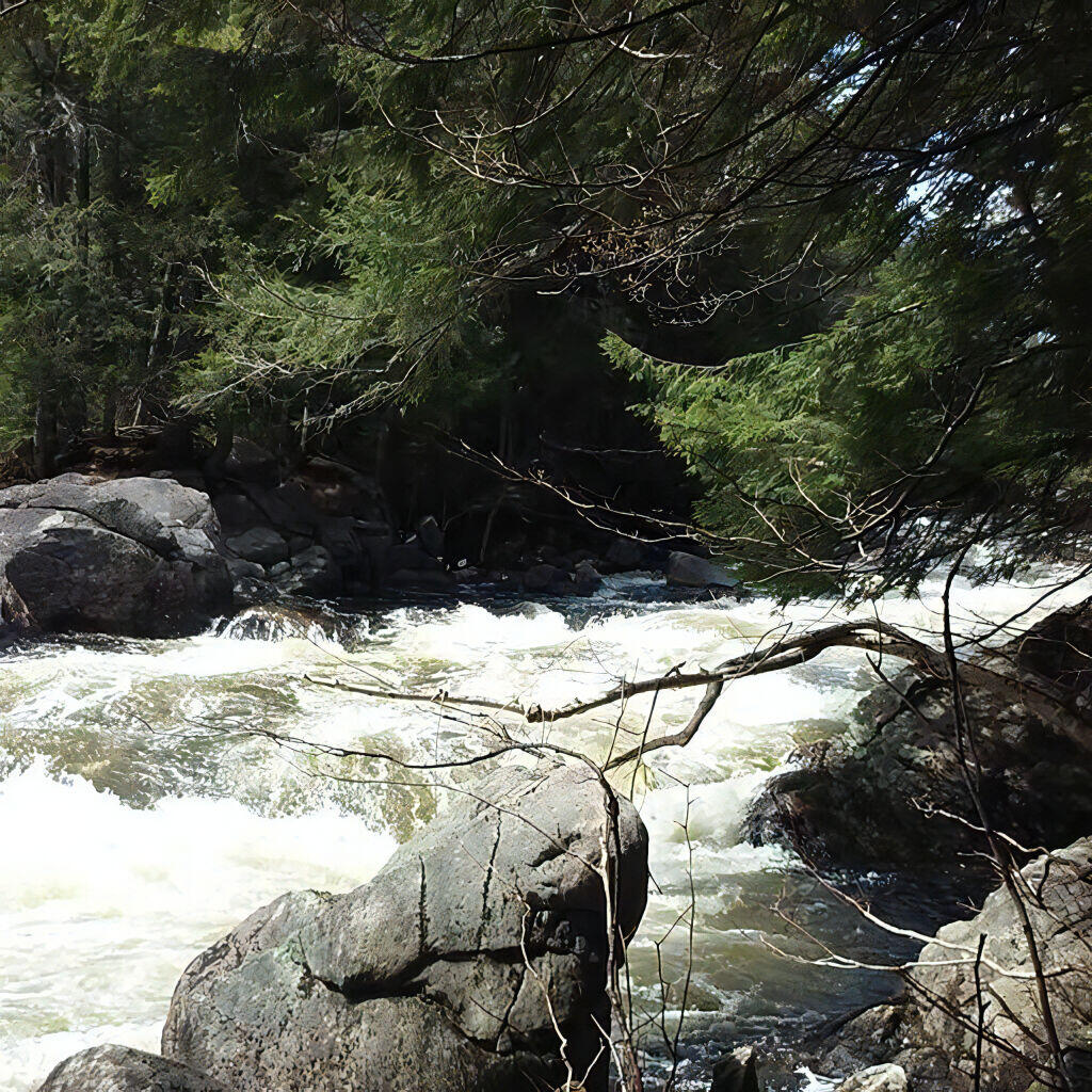
Gorge Below Auger Falls
Auger Falls Via Griffin (East Side)
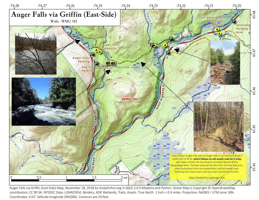
A little used way of hiking back to Auger Falls via NY 8 and Griffin and the Auger Falls Snowmobile Trail. You can either park on NY 8 or at the Griffin Parking lot, then hike back from there. It's about two miles, hiking along an old woods road. The best views of the falls are short bushwhack from the the trail when it runs along the river, heading south along the river, until you are looking directly over the falls.
Hiking Old Route 8A
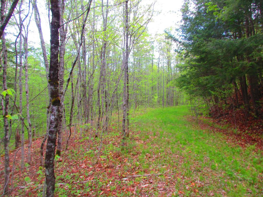
Monday night I decided to go for a walk from Auger Falls parking lot down the snowmobile trail now called Old Route 8A, the previous alignment of NY 8-30 prior to the 1968 realignment of the road.
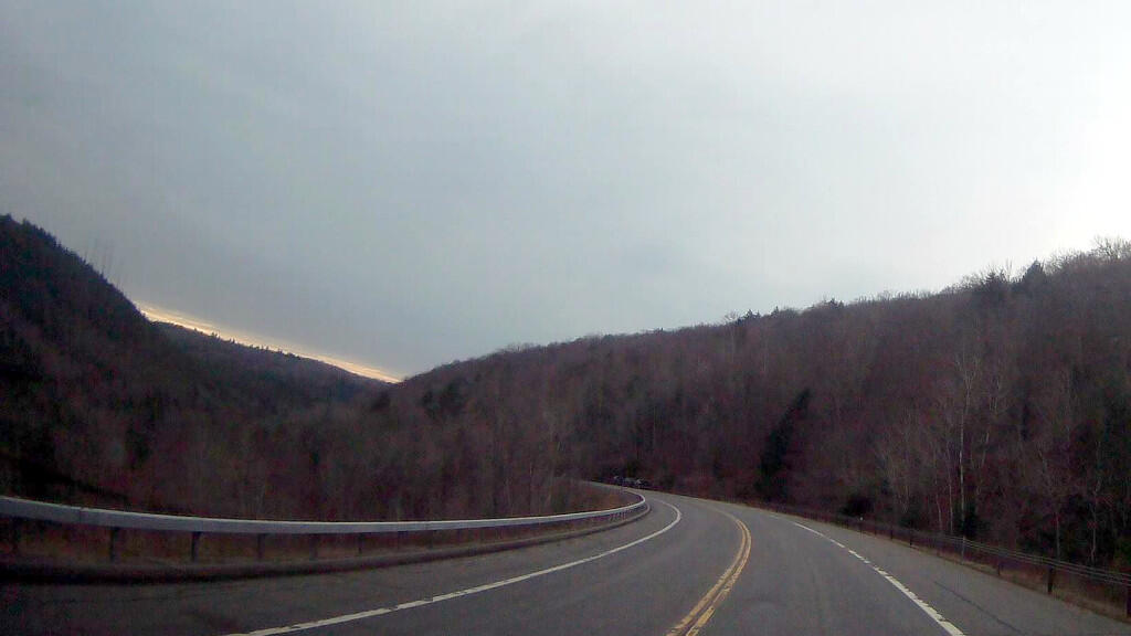
Taken on Monday May 17, 2021 at Auger Falls.Heading from Speculator to Wells Past Auger Falls
Lots of white water
Old Route 8A
Past Auger Falls is quite visible on the aerial photography as the road remains cleared as a grass covered snowmobile trail with most of the pre-1968 routing still visible.