Search Results for: Map
Cheney Pond and Lester Flow
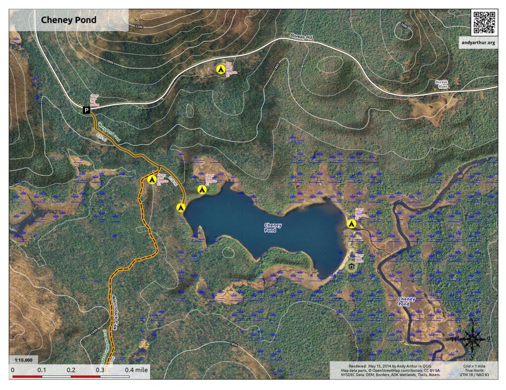
Interactive map showing the campsites and lean-tos along Cheney Pond and Lester Flow (Vanderwhacker Creek) in the Cental Adirondacks.
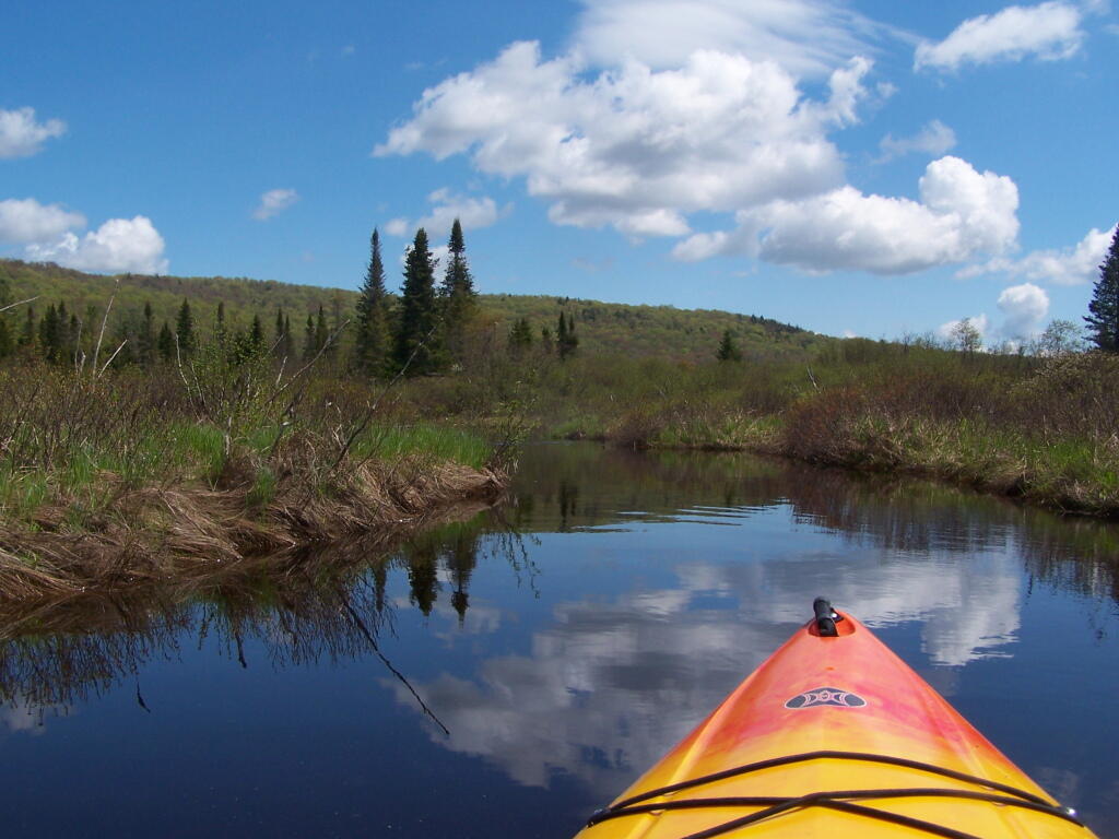
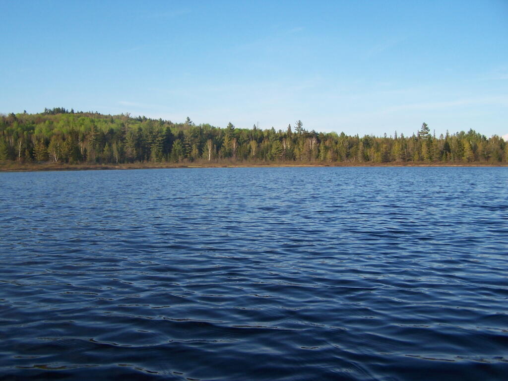
Lester Flow
Lester Flow
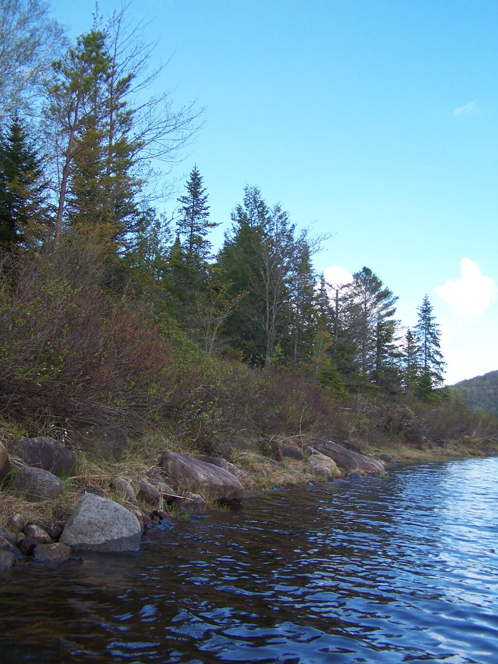
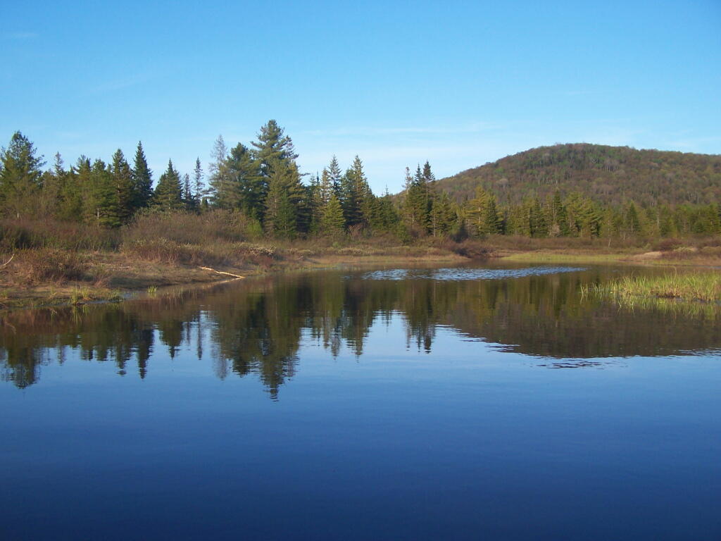
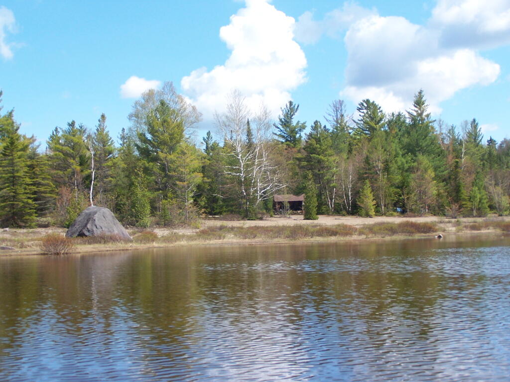
Cheney Pond Outlet

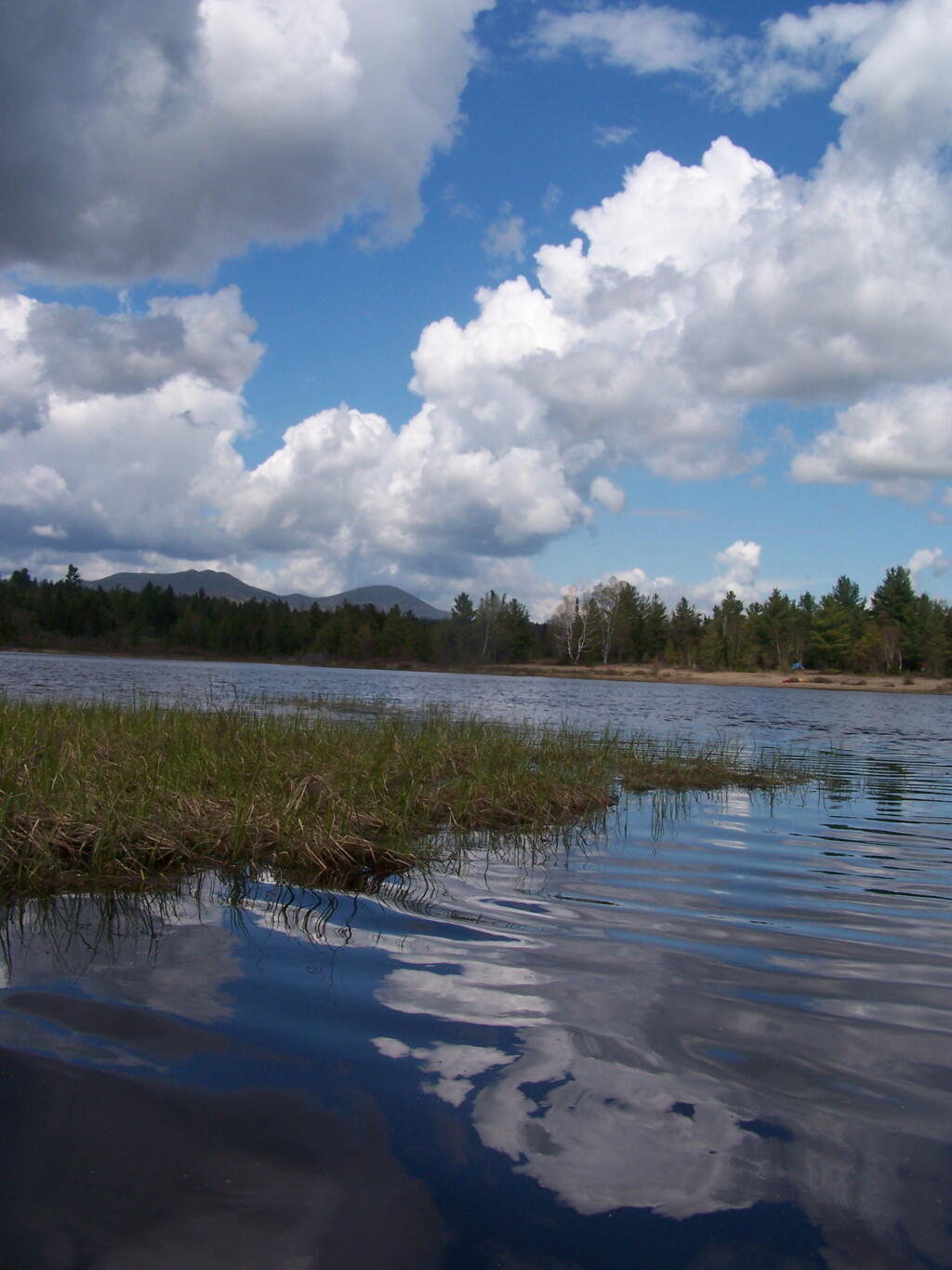
Heading over to Lester Flow. I never went all the way down to Lester Flow, as the current started to stronger, and I did not make a good map up of Lester Flow, unlike Cheney Pond.
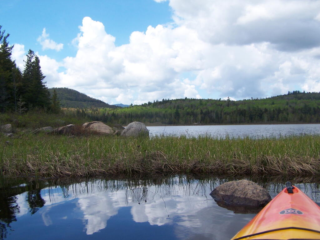
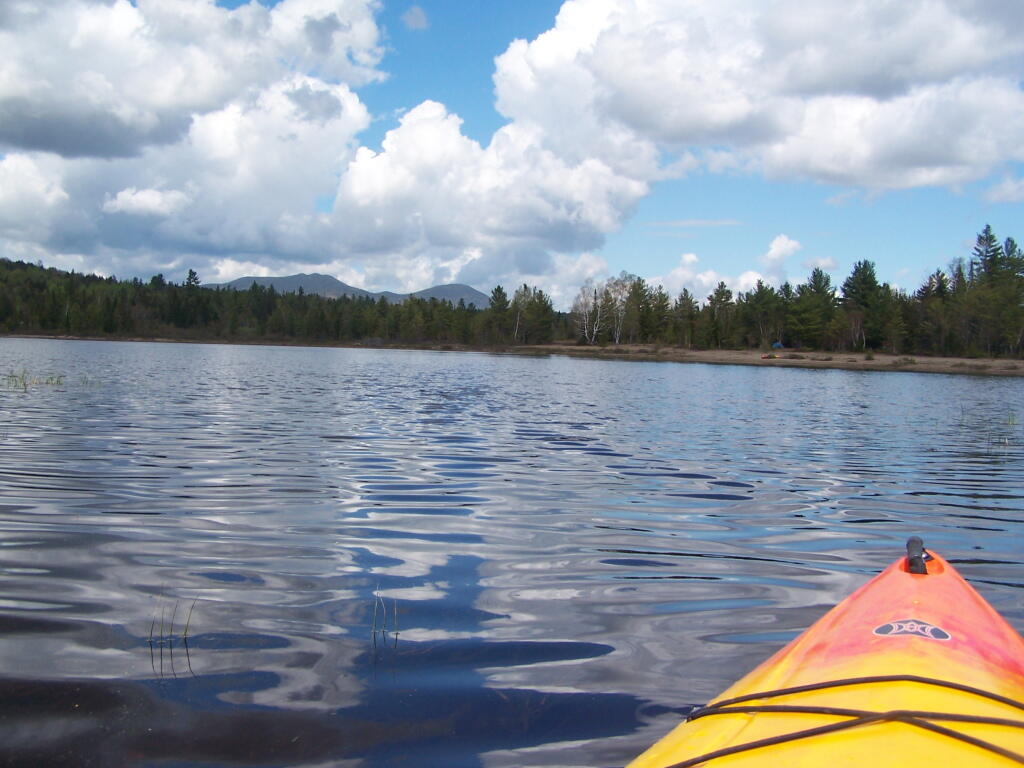
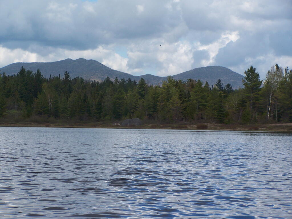
Taken on Saturday May 21, 2011 at Lester Flow and Cheney Pond.Cheney Pond
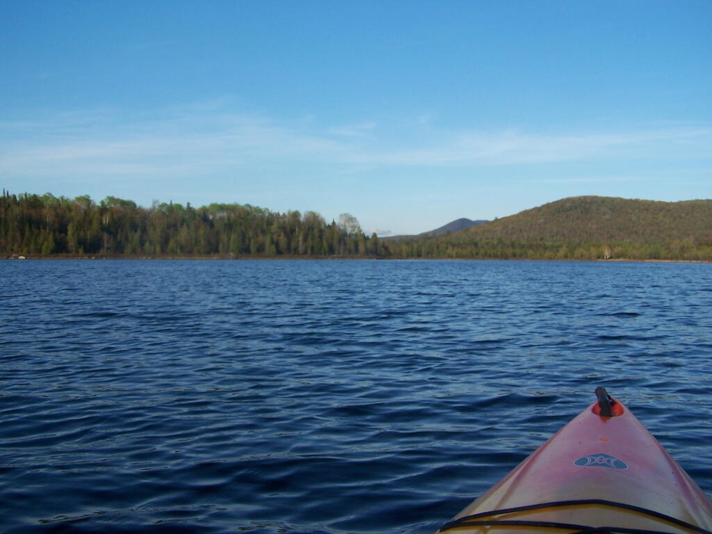
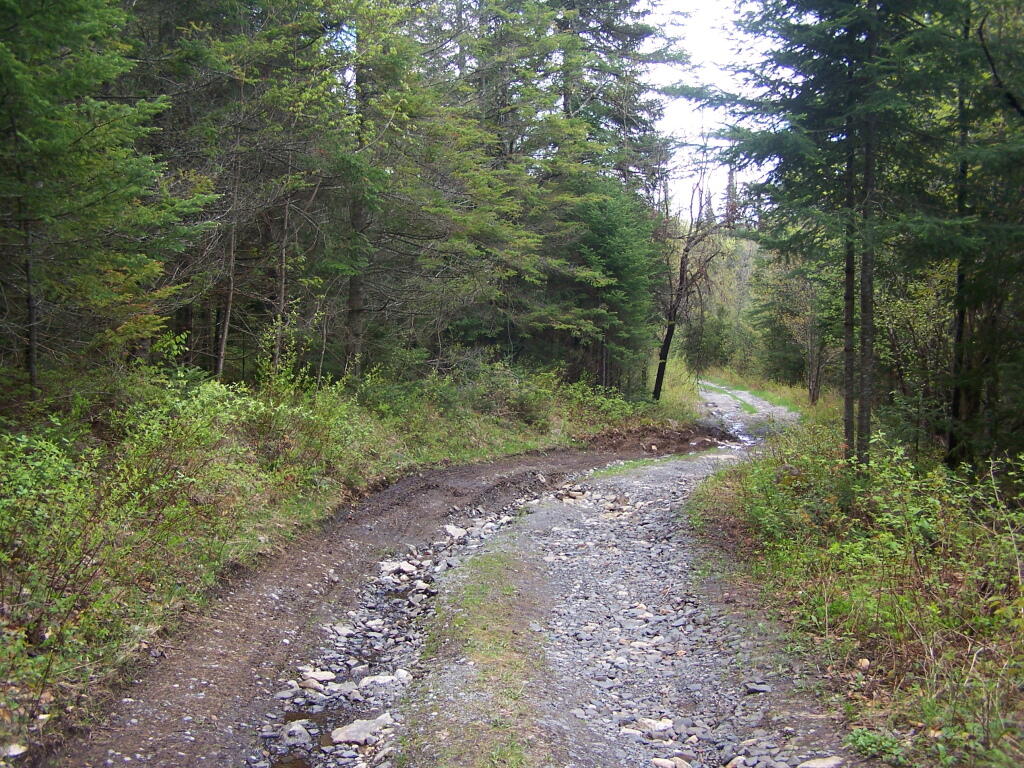
Cheney Pond Road is a dirt road off of Boreas Road, about 15 miles east of Newcomb. It is a rough road, with the pass year’s washouts, don’t try it without a truck. It will take you a rather pretty lake and damed up river you can paddle around.
Here is a printable map you can click to see full size then download.
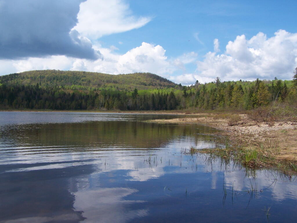
And now down as Cheney Pond…
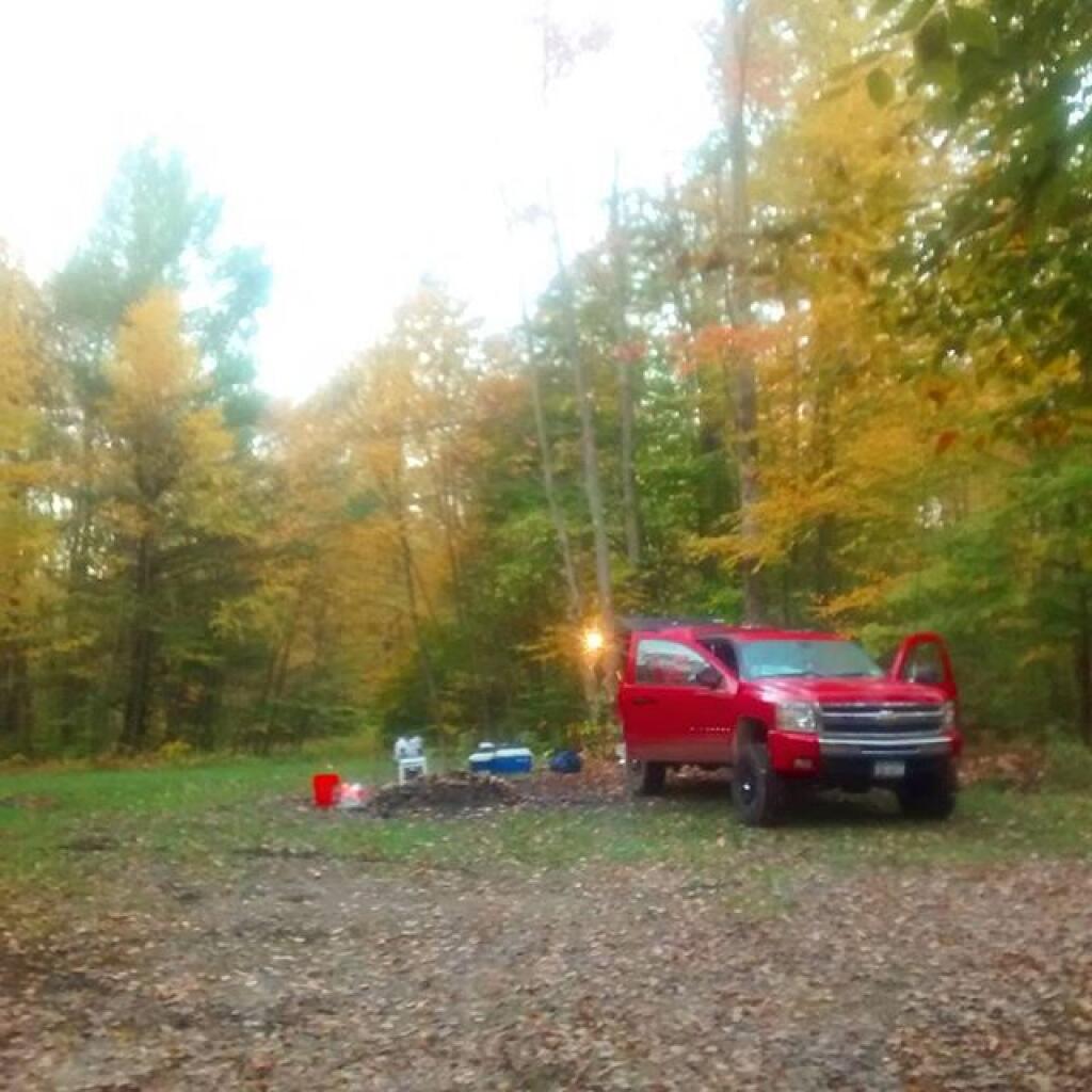
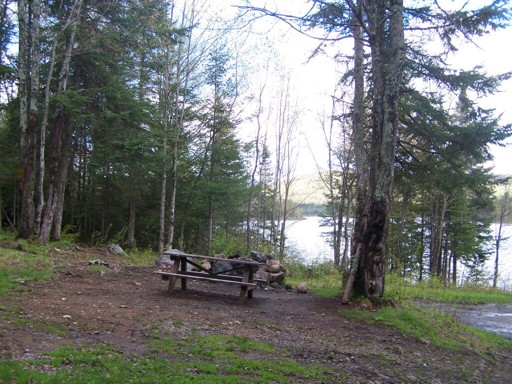
If you want to spend the night, you can roadside camp at a site with a picnic table and outhouse, tent camp at an “informal” campsite with a fire pit near the lean-to or camp in the lean-to. None of the campsites at Vanderwhacker Wild Forest have “Camp Here Disks”.
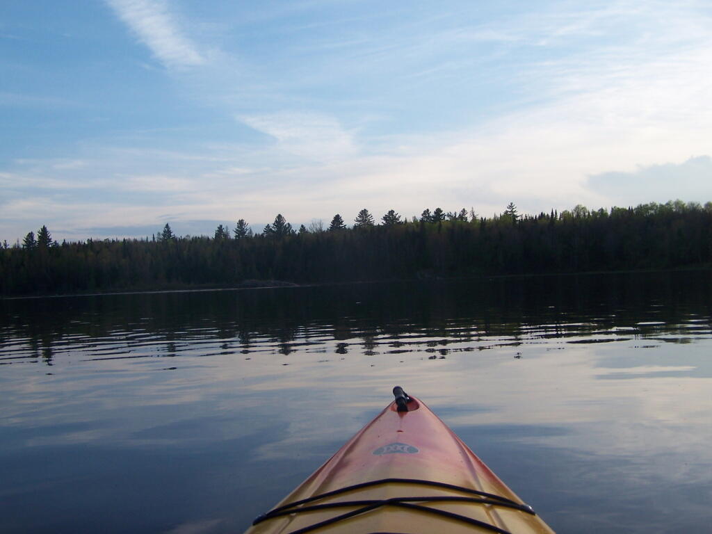
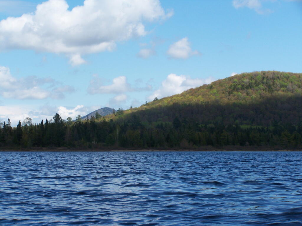
Heading out on the lake in the kayak…