Powley Road
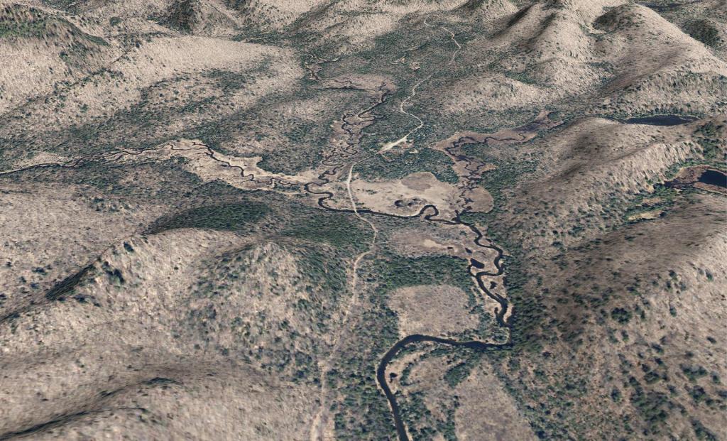
A 3D rendering I made up the other day of Powley Road near Powley Place.
A 3D rendering I made up the other day of Powley Road near Powley Place.
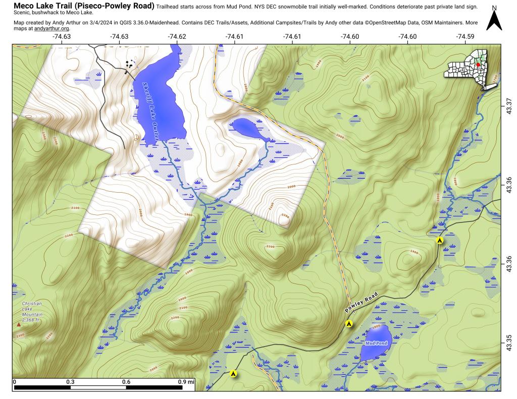
The Meco Lake Snowmobile Trail can be found near Mud Lake on Piseco-Powley Road. It is walkable in the summer months, and is easy to follow the 1.4 miles to the end of state land, however a somewhat harder to follow trail continues beyond that with views of Meco Lake about a 1/2 mile further. The private land is not posted, however there is a sign requesting you remain on the trail.
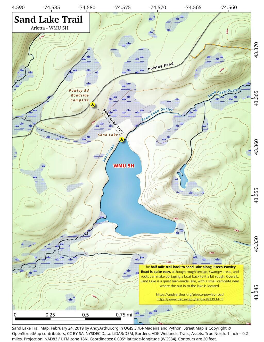
The Sand Lake Trail is about a half mile long but can be a somewhat difficult portage at the end due to the swampy, narrow trail. But it's a nice little wilderness lake, with a campsite, not too remote off of Piseco-Powley Road. There also is a designated roadside campsite at the trailhead.
This interactive map shows the location of each mile point heading north up Piseco-Powley Road from Stratford in the Adirondacks. It's handy if you trying to locate a trail head or just want to know about how far roughly north things are along the road.
For example, I had no idea that the Lower Powley Bridge is 6 miles north of Stratford -- it always seems like a bit of a trip up that rough road, but it's good to keep in context. Powley Place is 11 miles north, and ultimately the road ends at NY 8 at 18.6 miles further north.
A series of maps of campsites and trails along Piseco-Powley Road in the Adirondacks as a multi-page PDF for easy printing.
Piseco-Powley Road Campsite Map Pack by Andy Arthur on Scribd