Search Results for: Map
Campsites along the Bog River Flow
Interactive map of camping opportunities, trails, and scenic vistas along the Bog River Flow.
Lows Lake
Bog River Flow – Hitchens Pond and Lows Lakes
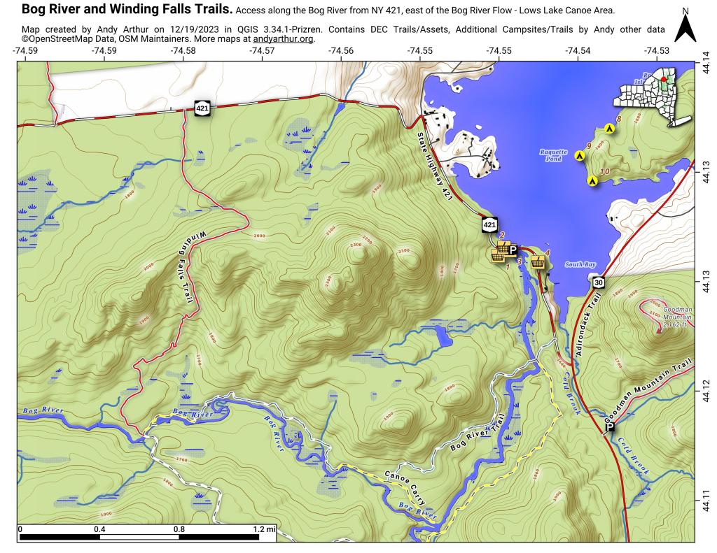
Explore this page for comprehensive maps and campsite listings along the stunning Bog River Flow, also referred to as Lows and Hitchens Pond, nestled in the Adirondacks. Equipped with coordinates and interactive maps, this valuable resource aids in locating free camping spots within this scenic region. Discover more about the Lows Lake area, adjacent to Horsehoe Pond, situated off NY 3 and NY 421, approximately ten miles south of Tupper Lake.
Interactive map of campsites along Bog River Flow.
Here is a downloadable map.
Here is a list of the campsites in the Bog River Flow – Hitchens Pond and Lows Lake. You can download this on Google Sheets.
| Name | Notes | coord |
| Big Deer Pond Campsite | Campsite 2 on Oswegatchie River Canoe Carry | 44.07066499203909,-74.83562688410296 |
| Bog Lake Campsite | Campsite on knoll under hemlocks. No obvious privy | 44.04597400340542,-74.76877997265527 |
| Bog River Primitive Campsite 1 | Designated campsite | 44.11498202693457,-74.62835933121629 |
| Bog River Primitive Campsite 2 | Designated campsite | 44.112697282644255,-74.63814827173313 |
| Bog River Primitive Campsite 3 | Designated campsite | 44.11709452942677,-74.6416450967812 |
| Bog River Primitive Campsite 4 | Designated campsite. With short privy | 44.11703559376099,-74.66030250230646 |
| Bog River Primitive Campsite 5 | Designated campsite. With short privy | 44.11438984664461,-74.66461339832713 |
| Bog River Primitive Campsite 6 | Designated campsite with pit privy. Full sized privy | 44.11147789052526,-74.66585509269002 |
| Bog River Primitive Campsite 7 | Designated campsite. With short privy | 44.11022932303285,-74.66826136834727 |
| Bog River Primitive Campsite 8 | Designated campsite. With short privy | 44.10742088225655,-74.6691164912543 |
| Bog River Primitive Campsite 9 | Designated campsite. With short privy | 44.10503371724627,-74.67884988872132 |
| Bog River Primitive Campsite 10 | Designated campsite with pit privy. Full sized privy | 44.10140804214472,-74.69038422222768 |
| Bog River Primitive Campsite 11 | Designated campsite. With short privy | 44.099078711392714,-74.6930712072797 |
| Bog River Primitive Campsite 12 | Designated campsite. With short privy | 44.0978314008462,-74.69999139028391 |
| Boone’s Landing Primitive Campsite | Deisgnated campsite with short privy. Checked 04/2016. | 44.07626703407614,-74.77451394551568 |
| Clear Pond Campsite | Primitive campsite with short privy | 44.04310127384352,-74.76343793716421 |
| Grass Pond Primitive Campsite 31 | Designated campsite with pit privy | 44.092147034884384,-74.79863219015742 |
| Lows Lake Primitive Campsite 13 | Designated campsite. Poor condition and overused. With short privy. | 44.08908245767215,-74.74258124938055 |
| Lows Lake Primitive Campsite 14 | Designated campsite. Occupied. Approximate location. | 44.088298730072516,-74.73907345571132 |
| Lows Lake Primitive Campsite 15 | Designated campsite. With short privy. Nice site. | 44.086804927298935,-74.73430814679912 |
| Lows Lake Primitive Campsite 16 | Designated campsite. With short privy. | 44.08697767903585,-74.7371946215598 |
| Lows Lake Primitive Campsite 17 | Designated campsite. Campsite overused and in poor condition. With short privy. | 44.084603924660556,-74.74423273731236 |
| Lows Lake Primitive Campsite 18 | Designated campsite. With short privy. | 44.08293760192738,-74.75172590438794 |
| Lows Lake Primitive Campsite 19 | Designated campsite. With short privy | 44.08577051841745,-74.7698825245966 |
| Lows Lake Primitive Campsite 20 | Designated campsite with full sized pit privy | 44.08458229868338,-74.76551513622299 |
| Lows Lake Primitive Campsite 21 | Designated campsite with short privy | 44.0841067099251,-74.76714315198797 |
| Lows Lake Primitive Campsite 22 | Designated campsite with short privy | 44.08348728892685,-74.76899882134914 |
| Lows Lake Primitive Campsite 23 | Designated campsite with full sized pit privy | 44.08481154468211,-74.7793430089072 |
| Lows Lake Primitive Campsite 24 | Designated campsite. No obvious privy | 44.08214123869901,-74.78372221677317 |
| Lows Lake Primitive Campsite 25 | Designated campsite with short privy | 44.08257818694519,-74.78576220349693 |
| Lows Lake Primitive Campsite 26 | Designated campsite with short privy | 44.08057675692337,-74.78326523593361 |
| Lows Lake Primitive Campsite 27 | Designated campsite with short privy | 44.07770972821251,-74.78602313200635 |
| Lows Lake Primitive Campsite 28 | Designated campsite with short privy | 44.07697932965167,-74.78767361168993 |
| Lows Lake Primitive Campsite 29 | Designated campsite with pit privy | 44.08558854802722,-74.80275273416528 |
| Lows Lake Primitive Campsite 30 | Designated campsite with pit privy | 44.08783925703664,-74.79962217835768 |
| Lows Lake Primitive Campsite 32 | Designated campsite with pit privy | 44.09543594183192,-74.80460932447639 |
| Lows Lake Primitive Campsite 33 | Designated campsite with pit privy | 44.09388897785448,-74.8066177959671 |
| Lows Lake Primitive Campsite 34 | Designated campsite. With short privy. | 44.072702799586196,-74.81433132394646 |
| Lows Lake Primitive Campsite 35 | Designated campsite. With short privy. | 44.06841352774994,-74.78892997620443 |
| Lows Lake Primitive Campsite 37 | Designated campsite. No obvious privy. | 44.06315824239366,-74.76314230557793 |
| Lows Lake Primitive Campsite 38 | Designated campsite. Approximate location. | 44.06608053710454,-74.76628108137284 |
| Lows Lake Primitive Campsite 39 | Designated campsite. With short privy. | 44.07148851236176,-74.78169798893907 |
| Lows Lake Primitive Campsite 40 | Designated campsite. With short privy. | 44.07841841600538,-74.7549414520306 |
| Moose Bay Landing Primitive Campsite | Designated campsite. Poor condition. No obvious privy. Checked 04/2016. | 44.06844596600476,-74.78354494035702 |
| Oswegatchie River Canoe Carry Campsite 1 | Believe this is considered campsite no 1 on canoe carry and oswegatchie river route | 44.07397735162807,-74.82145107840337 |
| Virgin Timber Landing Primitive Campsite | Designated campsite. Short privy located 250 ft west on mainland. | 44.07175648243474,-74.80529773174713 |
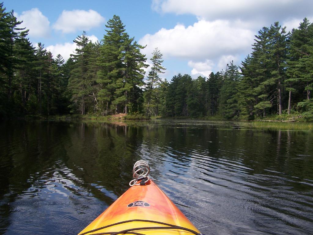
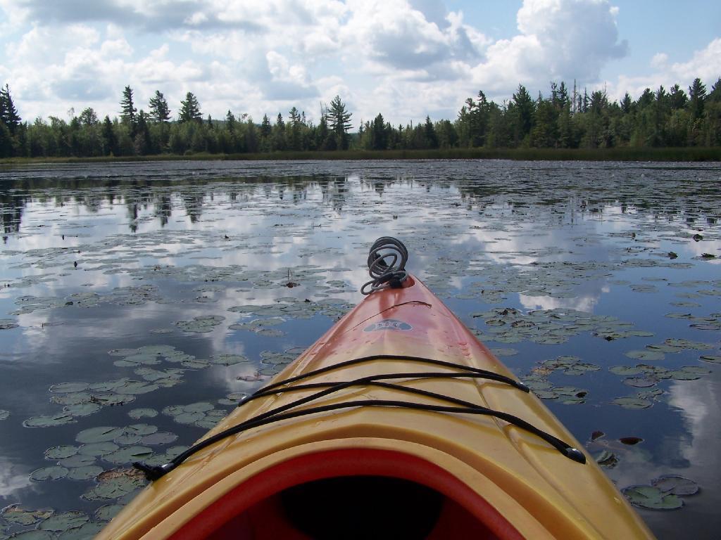
Kayaking Hitchens Pond & Lows Lake, Aug 13
The Bog River Flow, also known as Lows Lake is a spectacular wilderness/primitive area located in South-East Saint Lawerence County. It consists of two dams, Lows Upper and Lows Lower, that create to massive man-made lakes. It is home to over 100 paddle in campsites along with some amazing views and wildlife.
Here is a downloadable map.
Above Lower Lows Dam. Paddling up the “flooded” Bog River, in the lower portion of Bog River flow, right above the Lower Lows Dam. If this area was not flooded by dams, it would be rapids, unaccessible by canoe or kayak.
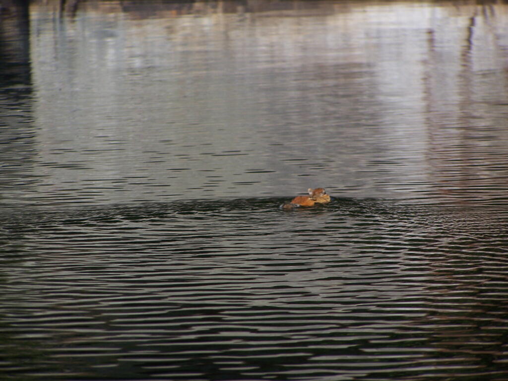
Chimpmunk Swims. This was taken about a mile above the Lower Lows Dam.
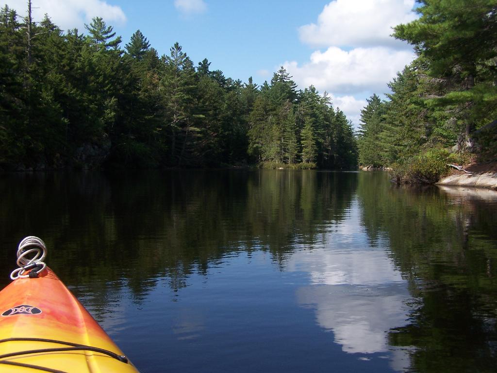
Bog River Flow Narrows. The Lower portion of the Bog River, is pretty narrow in part, due to the rocky terrain that it covers. You can easily bottom out a canoe or kayak in these parts, and other parts appear quite deep. There are a couple of paddle-in campsites along here.
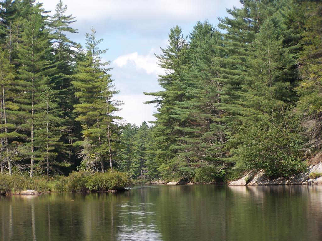
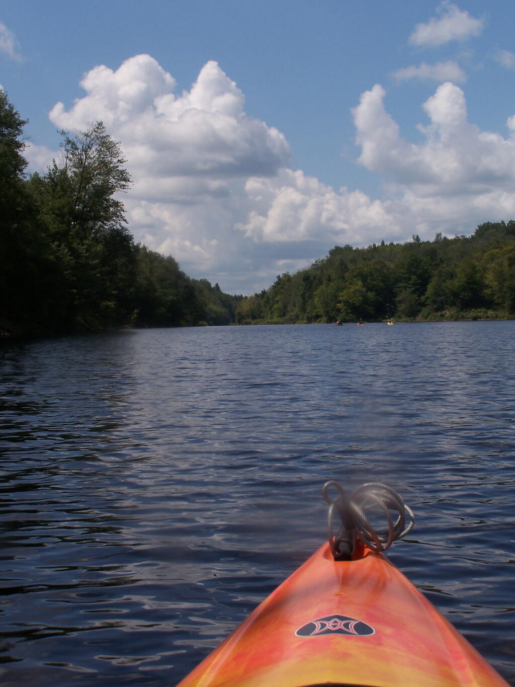
Bog River Open Up A Little Bit. The first mile or so of the Bog River Flow is mostly flooded stream. But as you get closer to Hitchens Pond, it starts to widen a bit.
Entering Hitchens Pond. Just past here, is a hairpin turn, as the flooded River, winds a bit, and becomes a much larger lake, in the form of a series of bays and marshes.
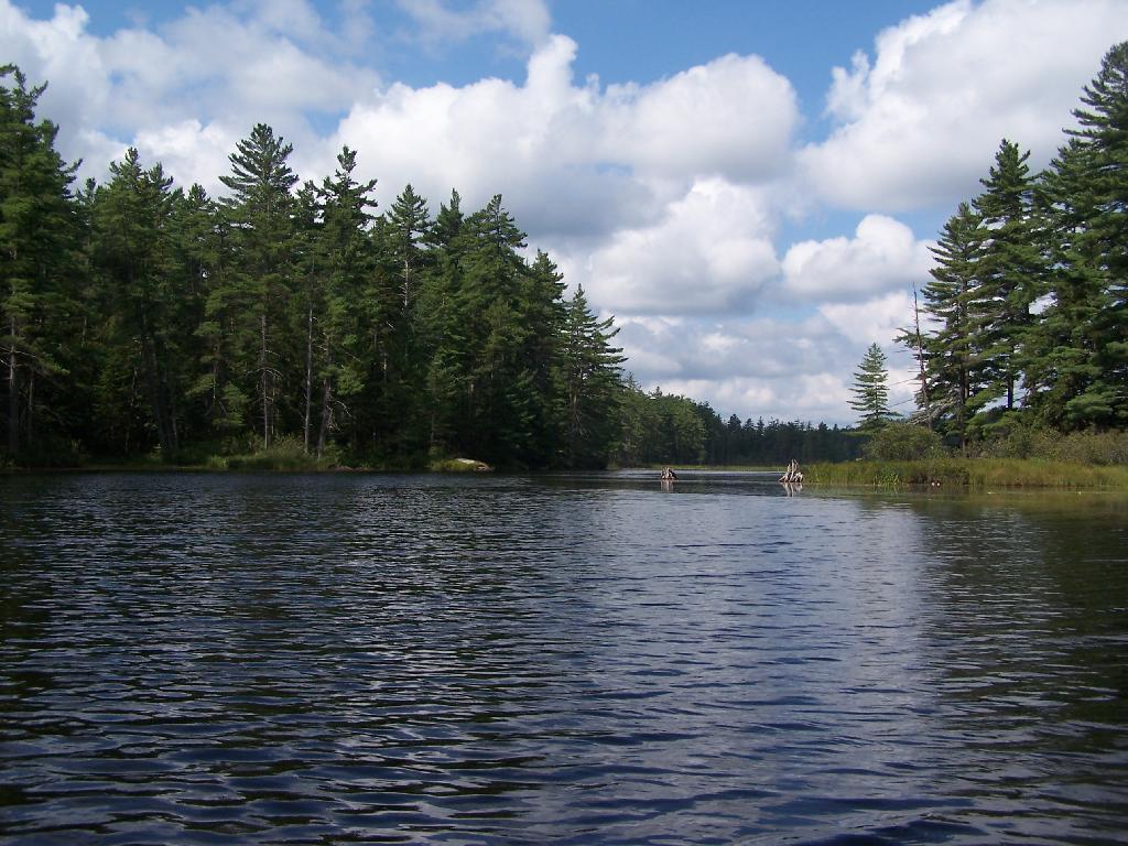
Hitchens Pond. Here things open up quite bit.
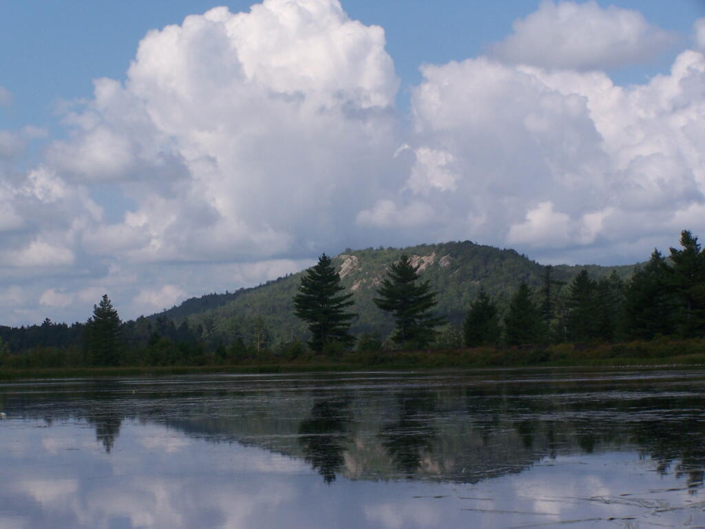
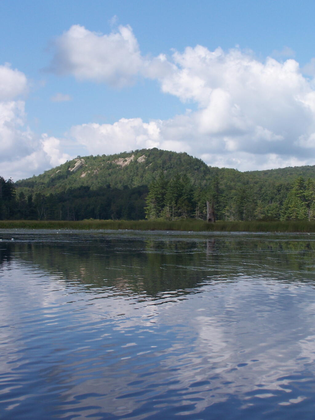
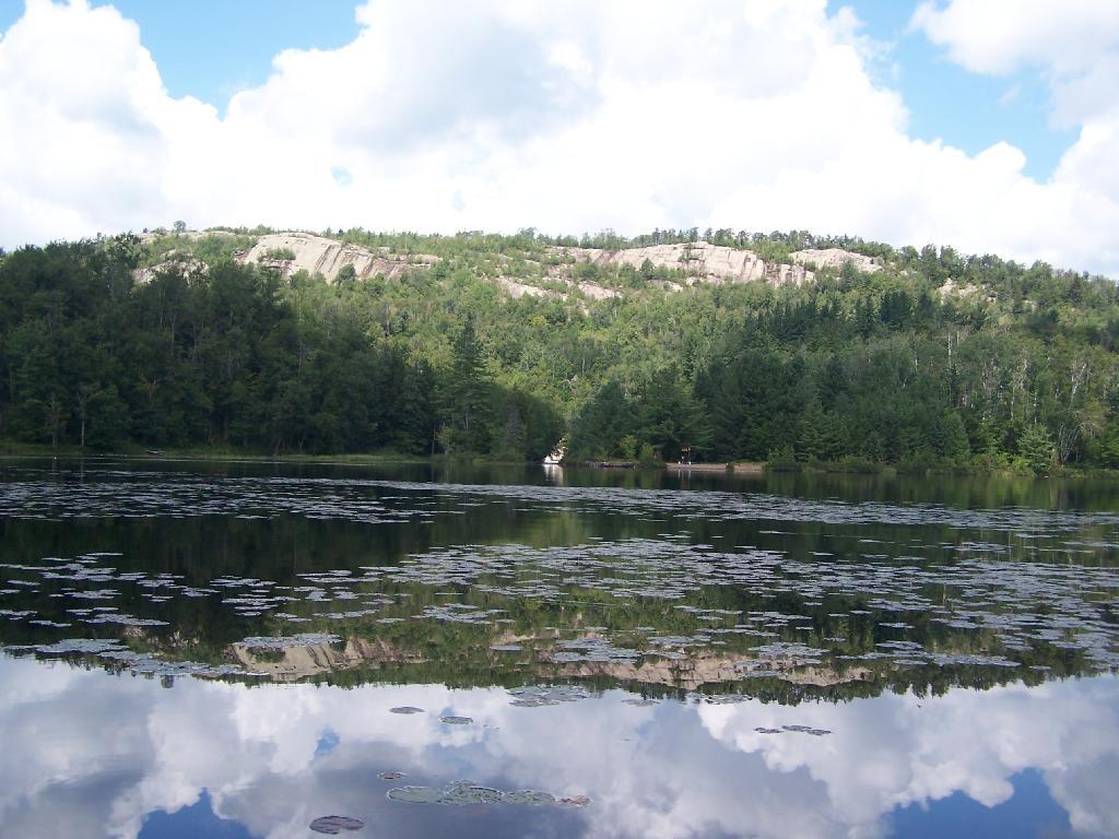
Lows Ledge. Here is Lows Ledge reflecting into Hitchins Pond. It’s much larger in person then it appears in this picture, unless you have a very big computer monitor.
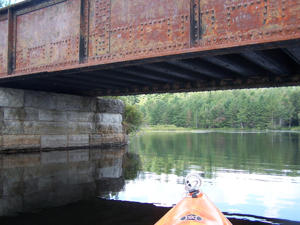
Railroad Bridge. About two miles into Bog River Flow, you cross under a relatively low railroad bridge. It’s actually about 5 or 6 feet above the flow, and doesn’t feel at all cramped in a canoe or kayak.
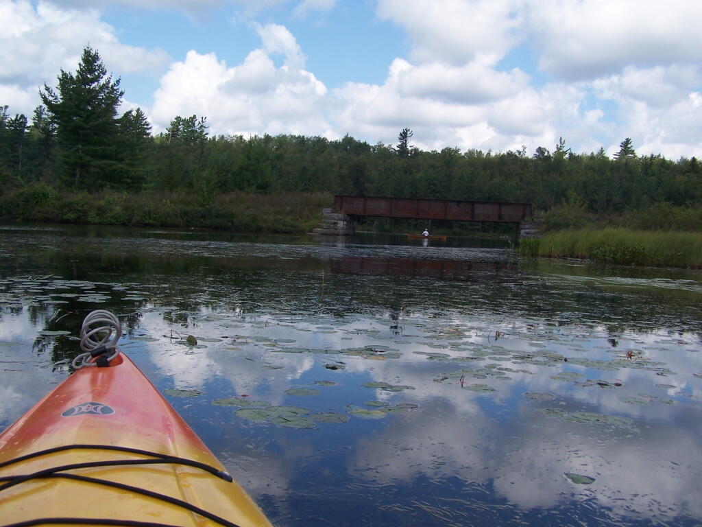
Under the Railroad Bridge. This shouldn’t be too bad to clear.
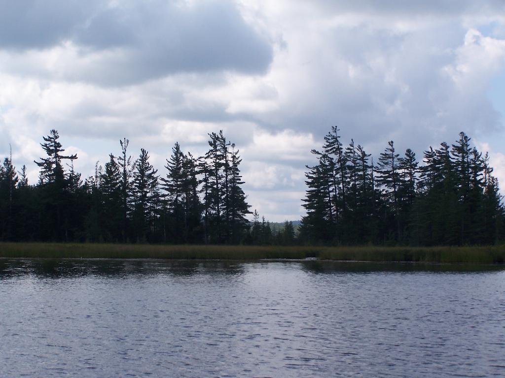
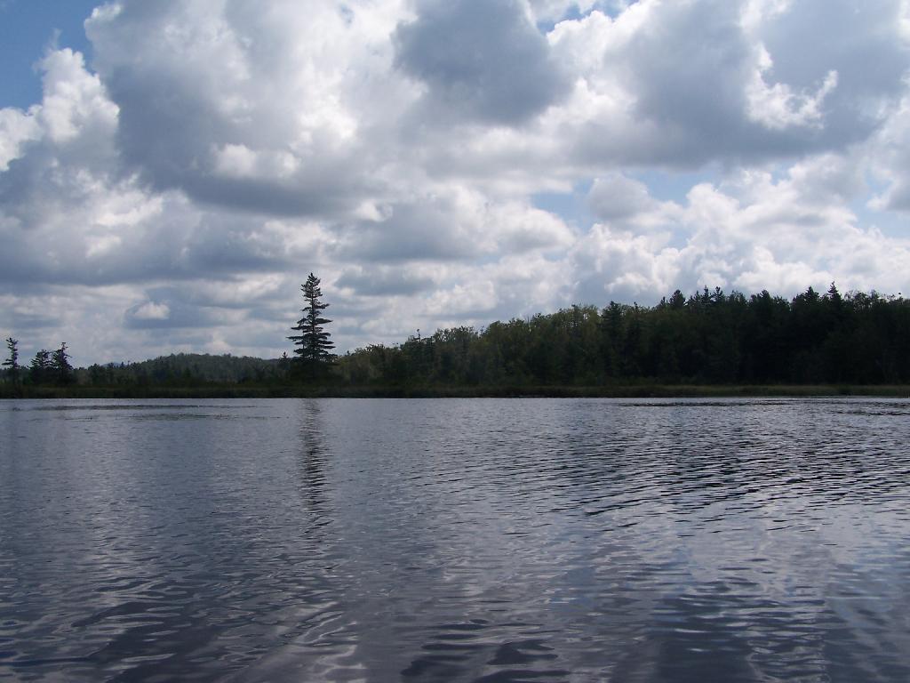
Trees Along Hitchens Pond. This picture can’t even reflect the beauty of this portion of Bog River Flow.
Break Time. Drinking all that beer, meant I had to find a place along the Flow to get out, stretch, and take a piss. Things being so boggy and soft in parts, meant there wasn’t a lot of open area to take a break.
Lows Ledge. I’m now about halfway between Lows Lower Dam and Lows Upper Dam, as the ledge reflects beautifully into the lake. It’s a very spiritual thing for sure, paddling along through this lake.
Clouds Rolling Out. To the south, it looked still quite cloudy. But there was something quiet spiritual about the area, and quiet vast. Something also spoke to me as being Saint Lawrence County, and as vast as one would expect the biggest county in the state to be.
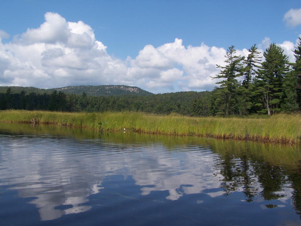
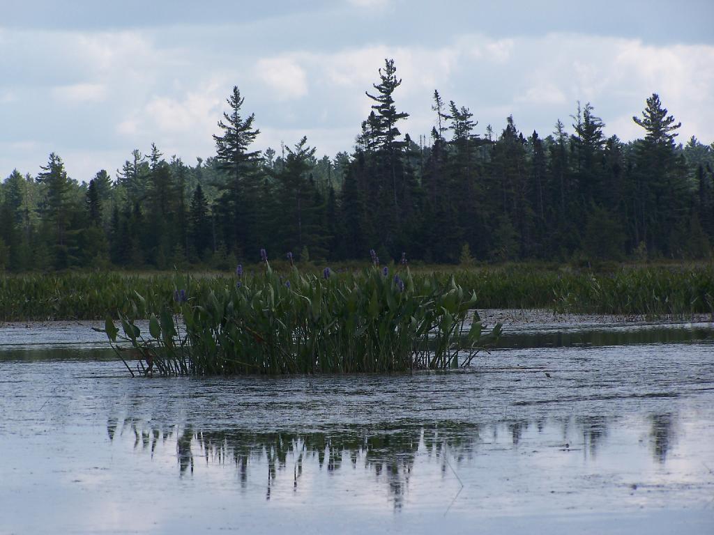
The Channel. The lake turns once again, with beautiful marsh lands along the edge of the lake.
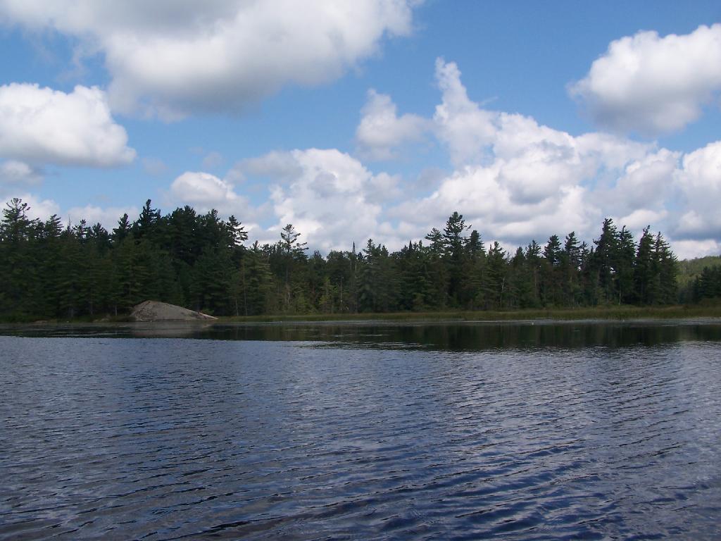
Marshy. Portions of Hitchens Pond are quite marshy, and can be tough going, especially if one gets out of the channel.
Trees. These trees line the last big turn at Hitchens Pond, where you finally get into the main bay, as you head towards the Upper Lows Dam.
Marshland. Along Hitchens Pond as we get closer to Lows Upper Dam.
Lows Ledge. Now we are almost up to the portage for Lows Upper Dam. Quite purty I must say.
Kayakers Pull Out. You have to pull your boat out of the water, and carry it over the Lows Lake Upper Dam, about a 10 feet elevation, and maybe a 50 foot portage.
Bog River Area Pull Off. A lot of people pull out here, for lunch. Or they can be fools, and not use the channel to bottom of the dam, and carry their canoes, an additional 1/4 mile for no real purpose, to get it over the Lows Upper Dam. Not like I would be that stupid, now right? Of course, I just covered my camera with beer, so I shouldn’t be opening my mouth.
Lows Upper Dam. This is the last picture I got for the day, because I dropped the camera in a pool of beer in kayak, and things go wet. Eventually the camera dried out and started to work fine, but for now, we have to go pictureless. From here, the bottom portion of Lows Lake proper, above the Upper Lows dam, is much like the bottom part of Hitchens Pond, narrow, deep channel, that widens up.
Above Upper Lows Dam. This is the channel above the Upper Lows Dam, which technically is Lows Lake now. About a mile up from here, the lake gets shallow, and you must portage up into the more open Lows Lake main section. Yes, the camera lens has beer in it, that now has to dry out before I can take any more pictures. Nothing until tomorrow. It’s my Friday the 13th luck and stupidity of leaving the camera in the kayak, not in it’s protective case, as I pull out, and spilled beer soaks everything.