Charles Baker State Forest Tree Cover
Data Source: NYS GIS Clearinghouse - NYS Dept. of Environmental Conservation (DEC) - DEC State Land Forest Stands. https://gis.ny.gov/gisdata/inventories/details.cfm?DSID=1356
Data Source: NYS GIS Clearinghouse - NYS Dept. of Environmental Conservation (DEC) - DEC State Land Forest Stands. https://gis.ny.gov/gisdata/inventories/details.cfm?DSID=1356
The Brookfield Trail System consists of several state forests with 135 miles of horse and snowmobile trail located between Bridgewater, Sangerfield, Earlville, Sherburne in Southern Madison County, Central New York.
"Blue stands for cooler temperatures, and red for warmer ones. Over time, these maps get really red."
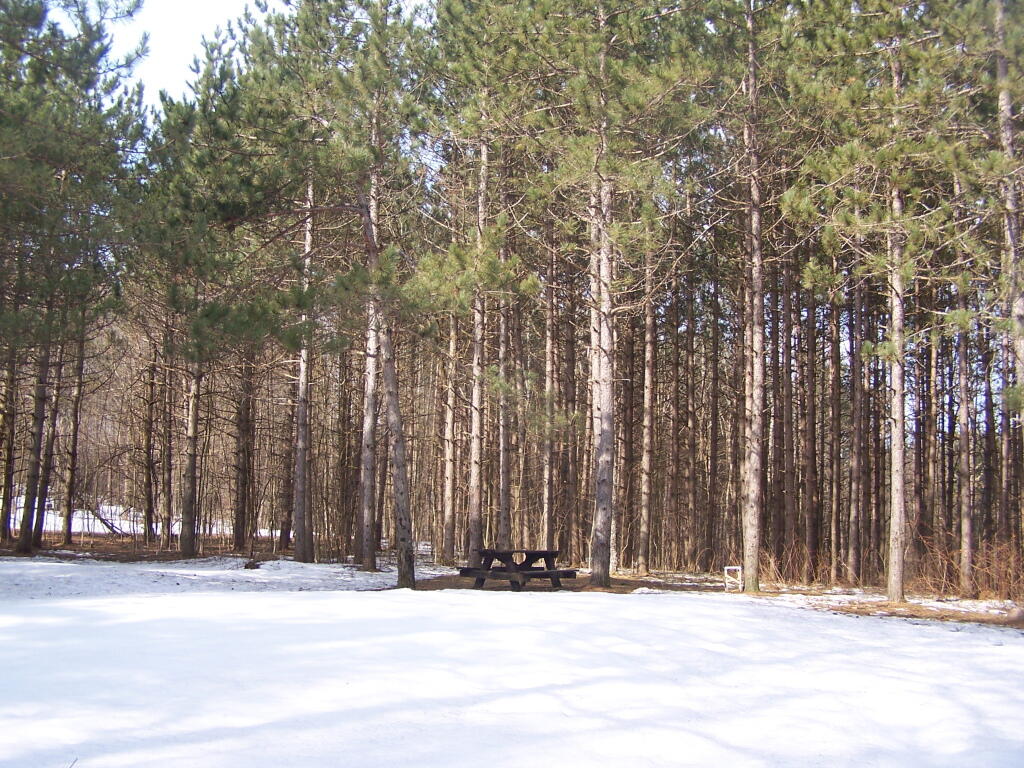
This is one of the camping areas designated on the Brookfield Trail System Map. As far as I could tell there was no developed facilities here besides the lone picnic table. There must be firepits somewheres under the one or two feet of snow.
Taken on Saturday April 9, 2011 at Charles Baker State Forest.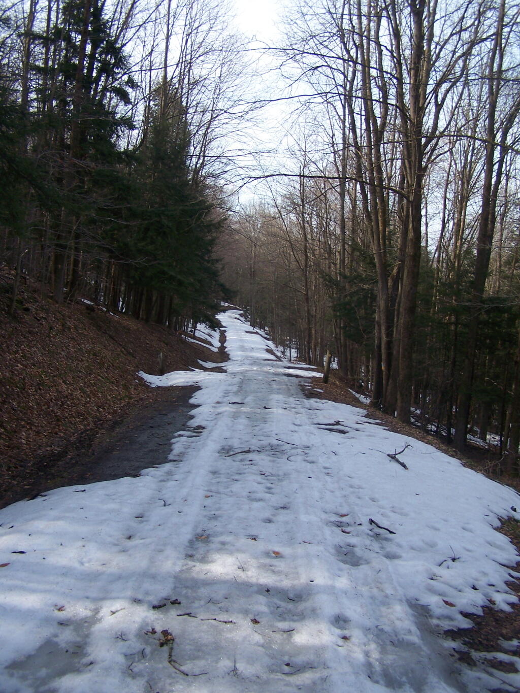
Heading up to the camping area indicated on the Brookfield Trail System Map. In another week or two, I probably could drive up this road.
Taken on Saturday April 9, 2011 at Charles Baker State Forest.