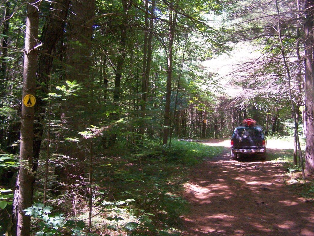
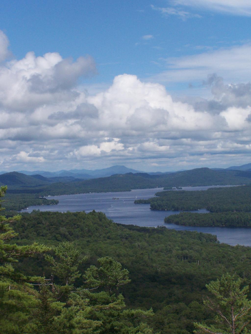
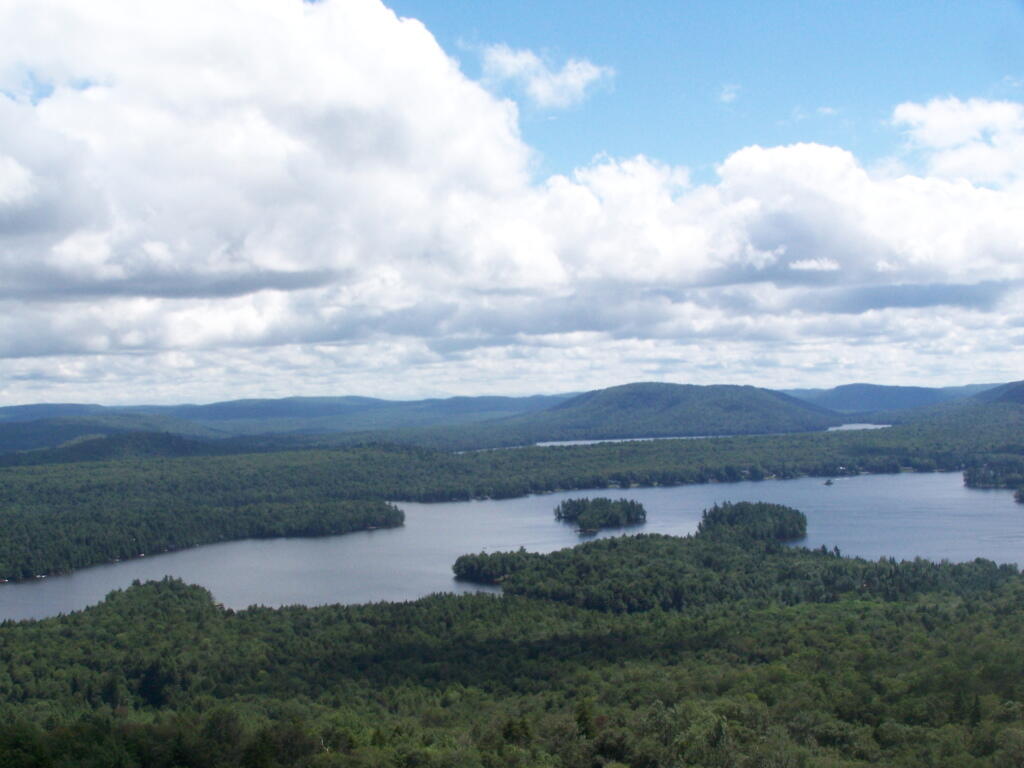
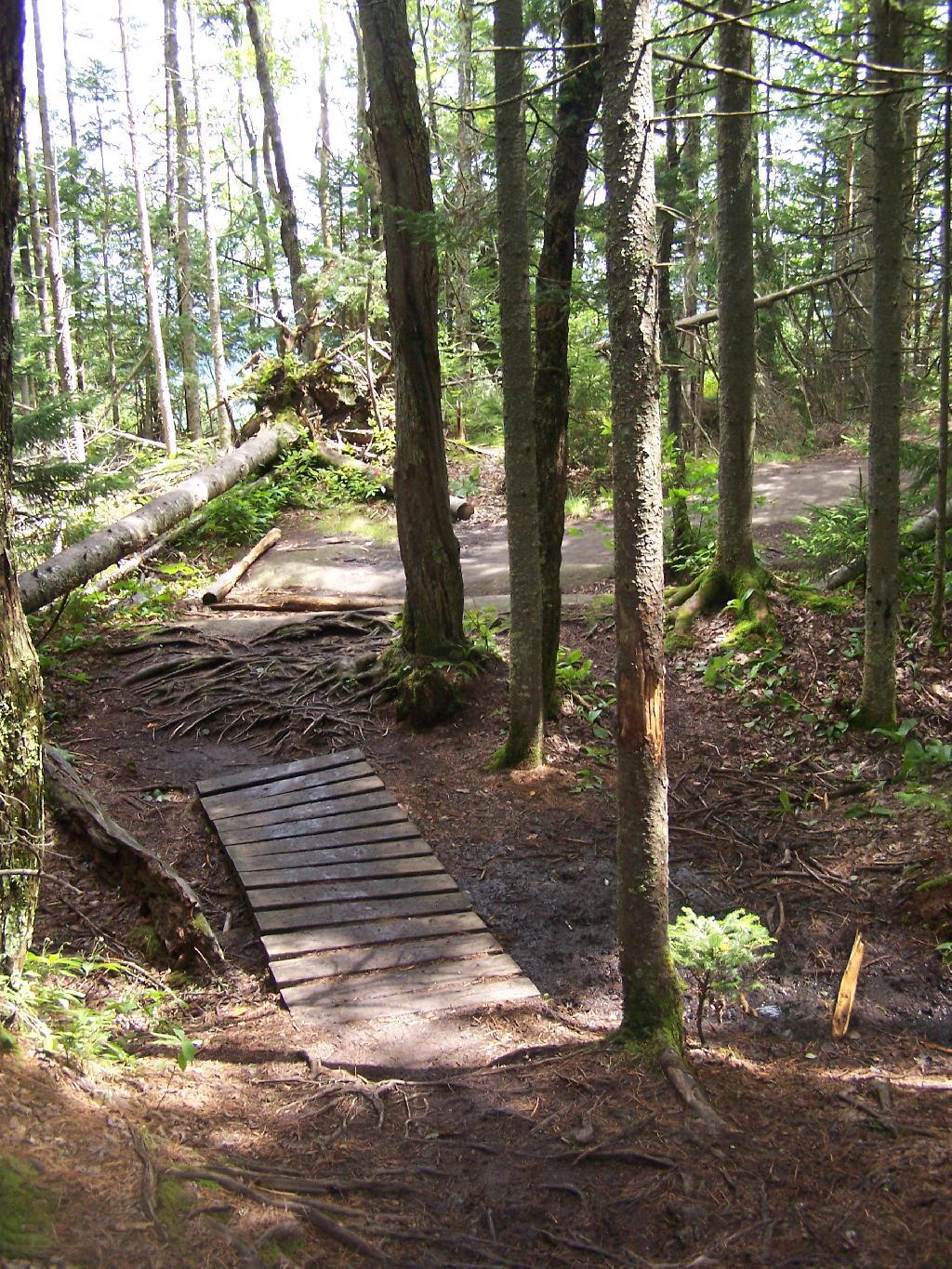
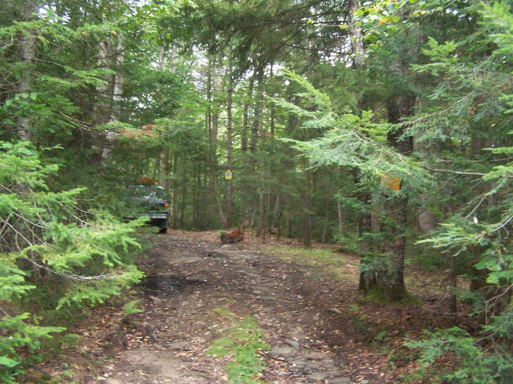
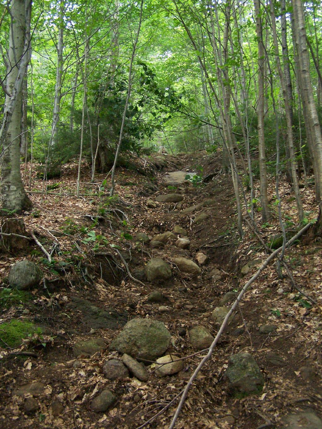
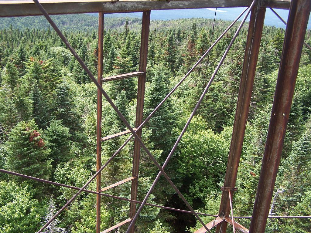
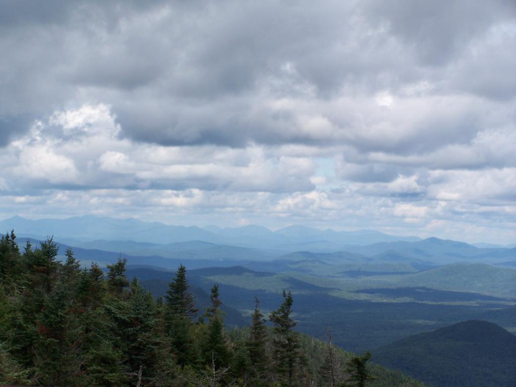
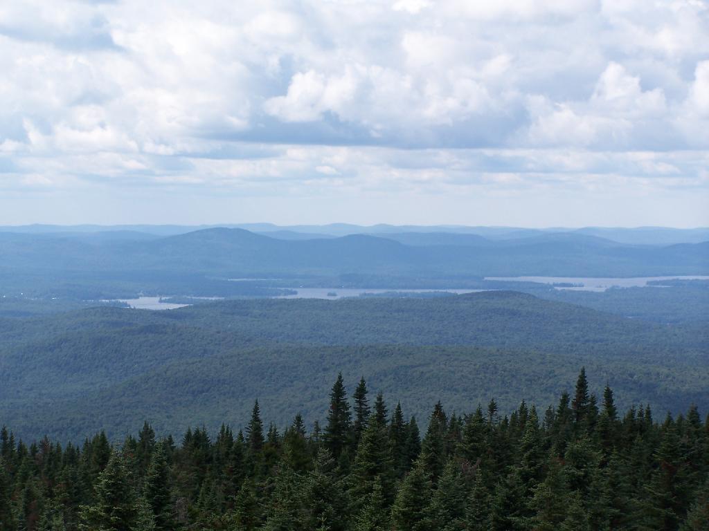
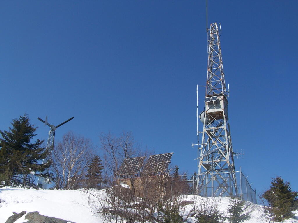
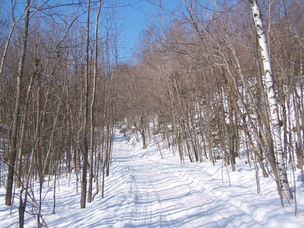
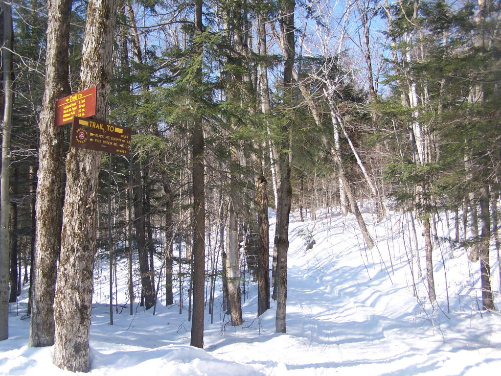
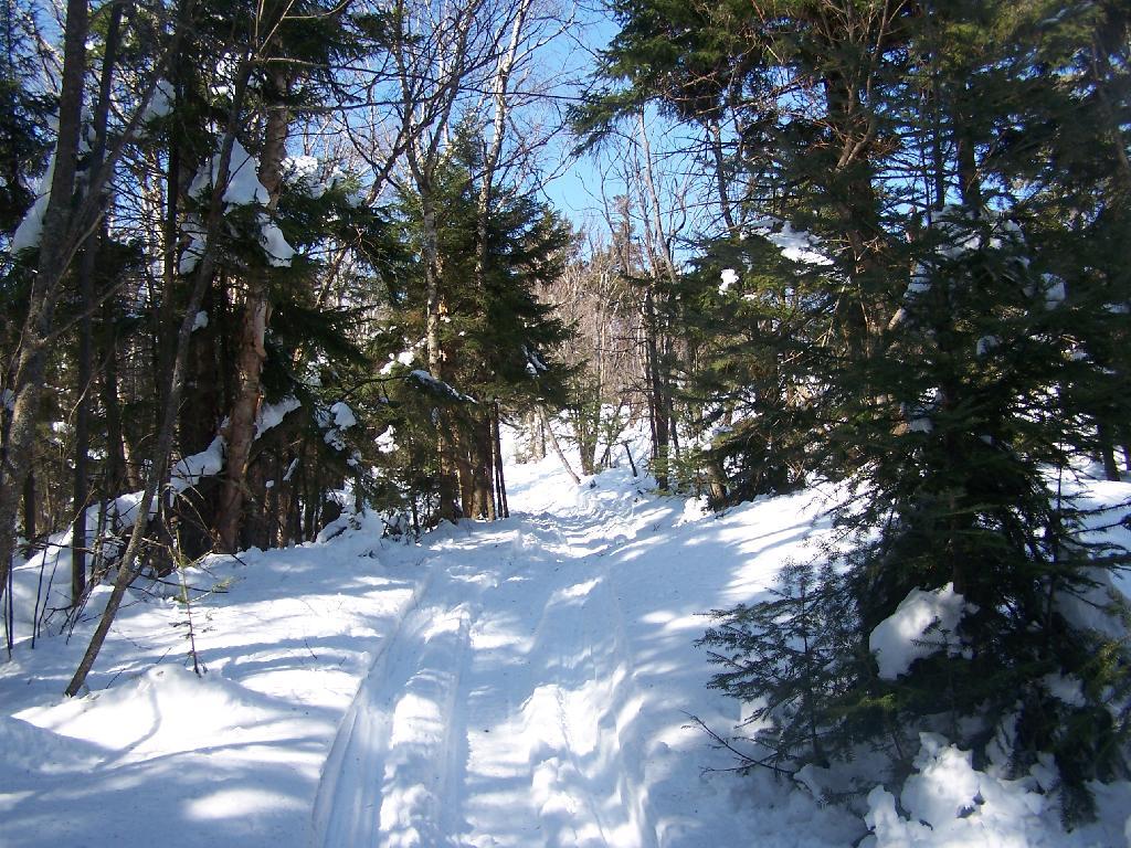
I have spent a lot of this past summer exploring the Black River Wild Forest, and decided it would be a good to share my experiences and some of the roadside and other campsites I’ve discovered along the way. As of September 2011, Lands and Forests in Albany doesn’t have these campsites in the central inventory, so all of this campsite data is based on personal exploration of these campsites.
North Lake.
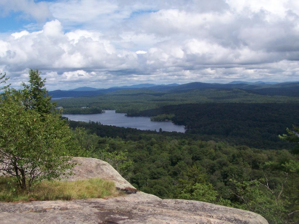
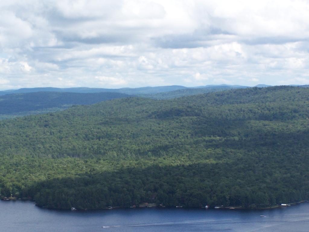
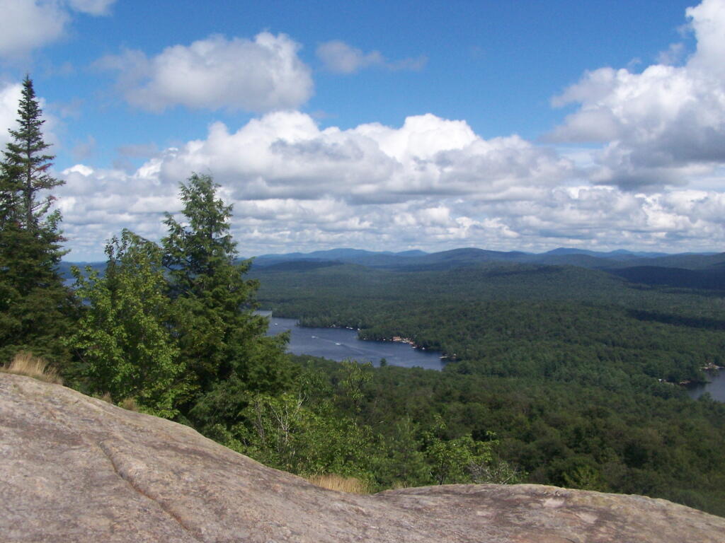
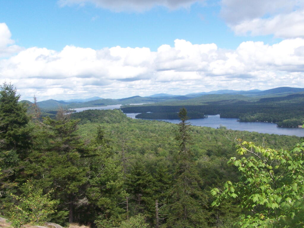
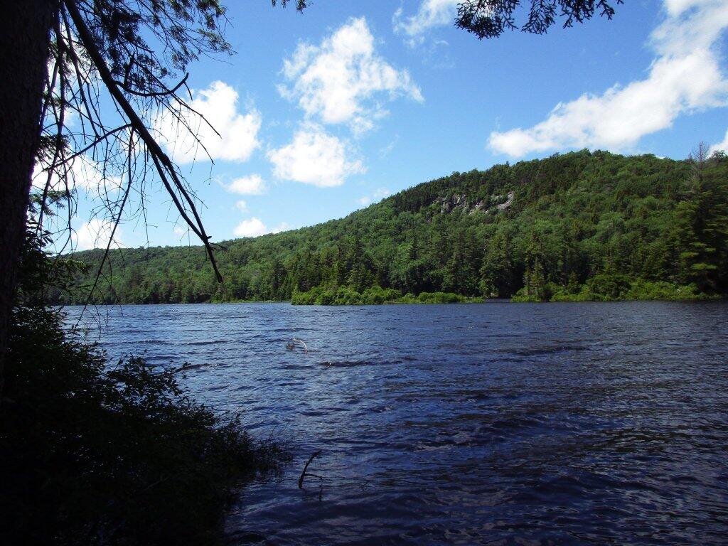
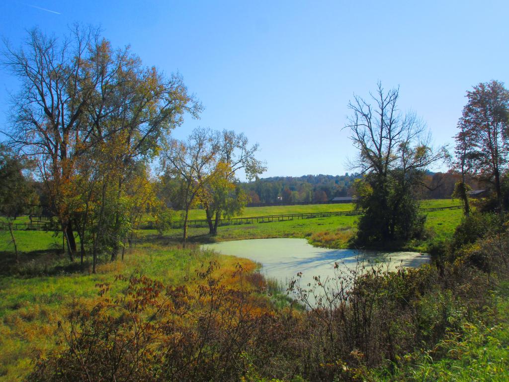
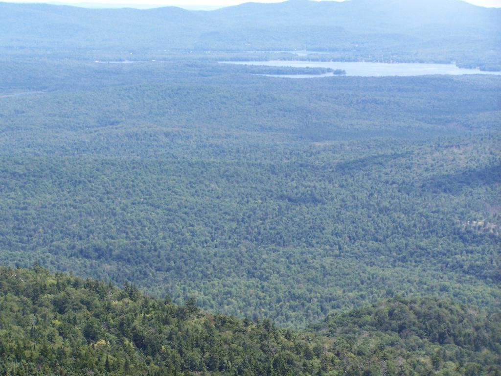
Some of the best camping in the Black River Wild Forest is North Lake in Atwell. There are 22 campsites — many of them vehicle accessible along this man made lake. The southern end of the lake has some private houses and cabins on it, but it still is relatively pristine and beautiful. Most sites have outhouses and fire pits. Some but not all sites have limited wood supply. All sites designated.
Motors are allowed on this lake — as are on all wild forest lakes — so don’t be surprised to hear a jet ski or small boat on there. There are no public boat ramp on lake, so only hand launched boats can get on the lake.
Click to download or print this map.
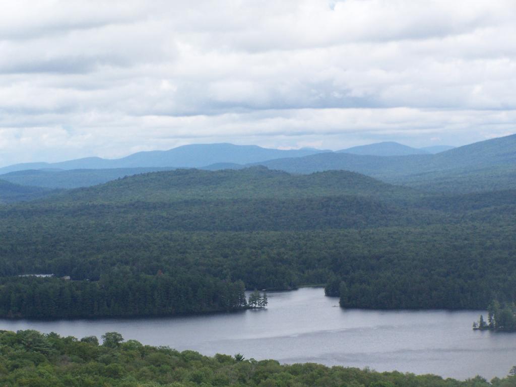
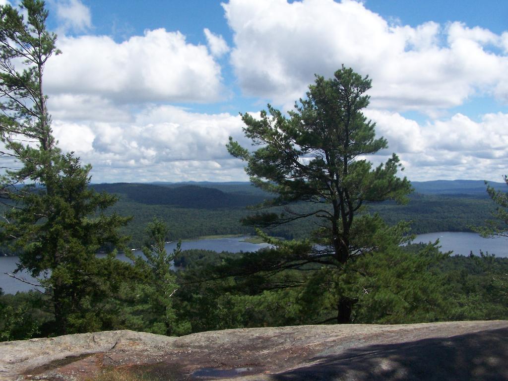
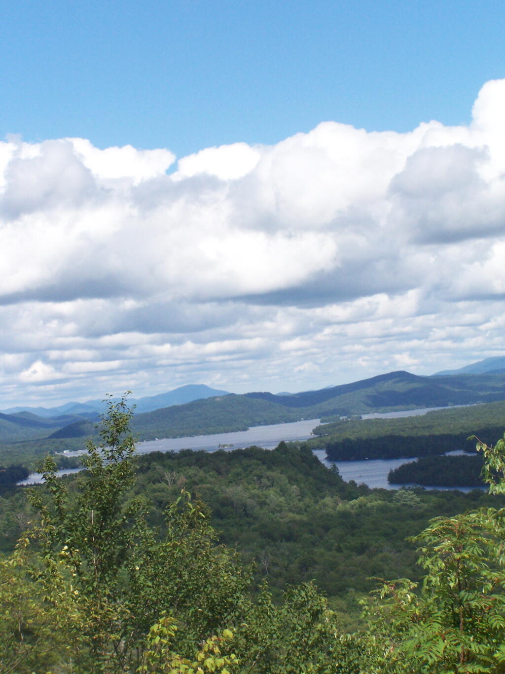
South Lake.
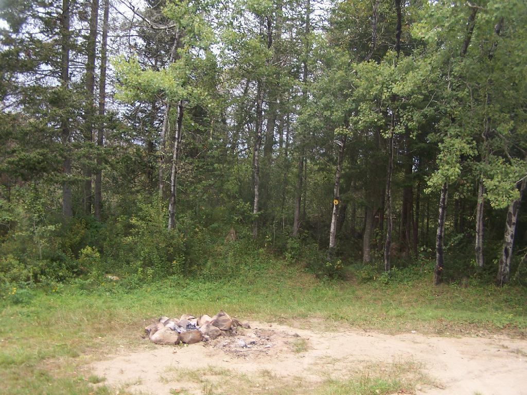
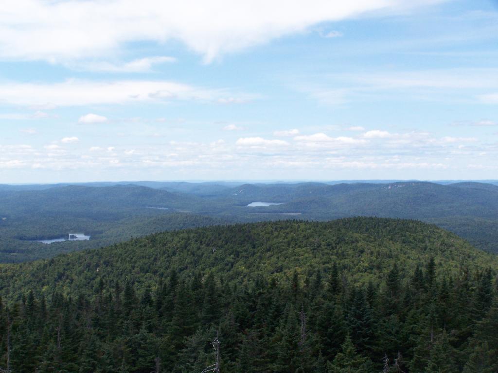
South Lake is another Erie Canal Corp / Black River Reservoir near North Lake. There is a single large campsite on South Lake, with a private in-holding on the other side of the lake. There may be other campsites here, as I didn’t explore this whole lake. There is an outhouse here, grassy field for camping, fire pit.
Click to download or print this map.
Reeds Pond.
There are a couple of campsites along Reeds Pond, North Lake Road, and Farr Road as you head up to North Lake from Forestport. This pristine, but relatively small pond is fairly popular for camping.
Click to download or print this map.
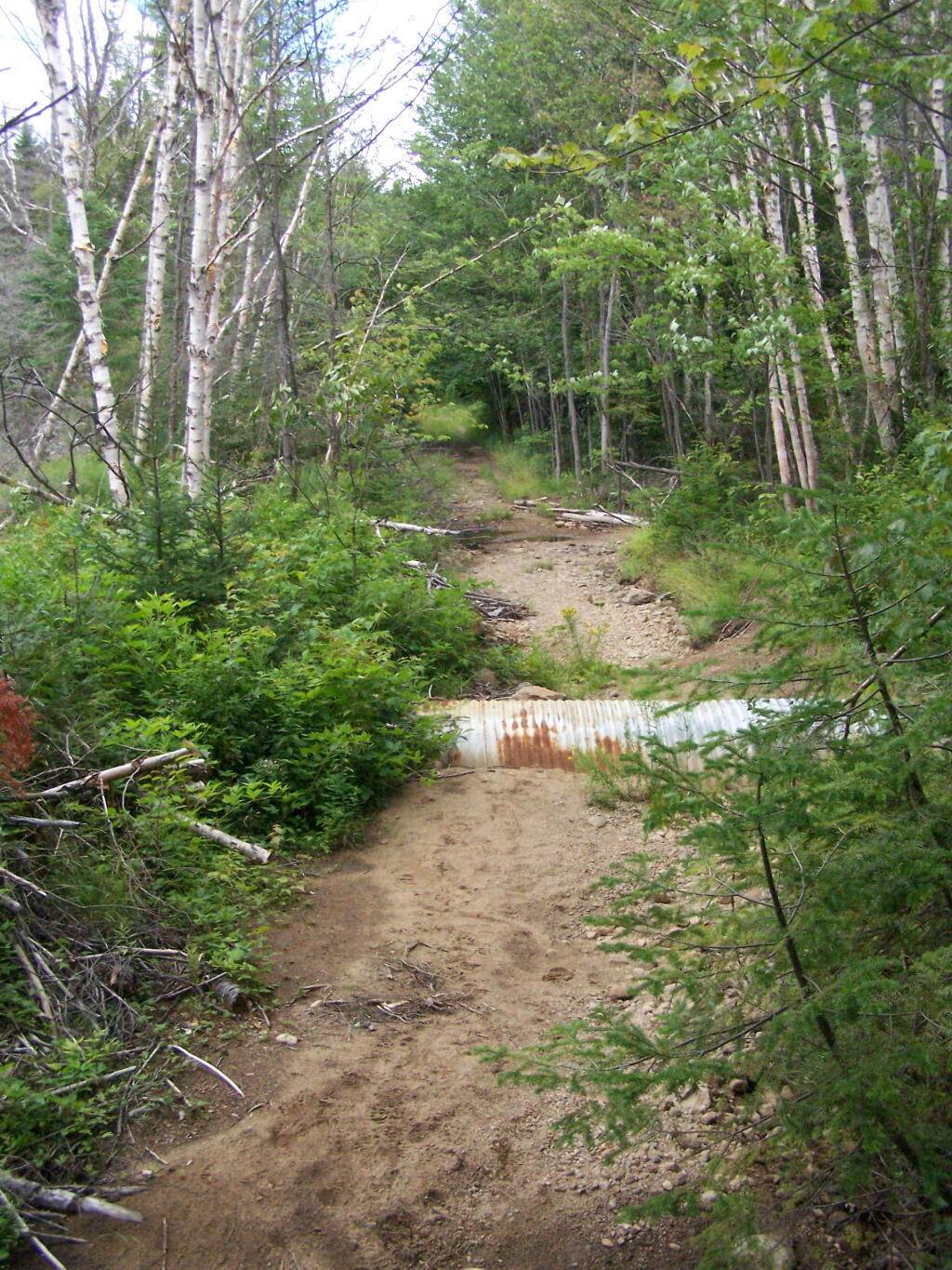
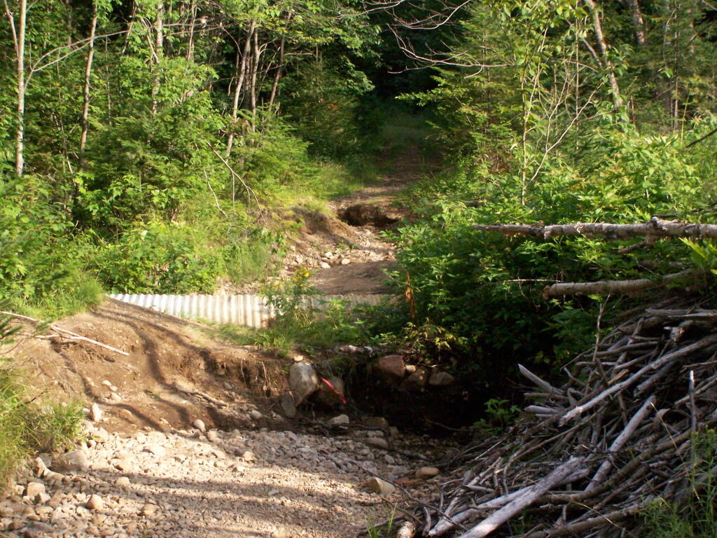
Wolf Lake Road.
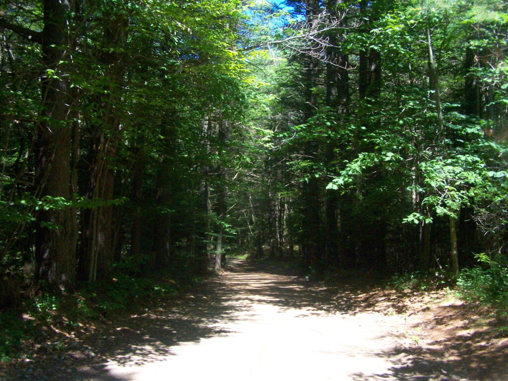
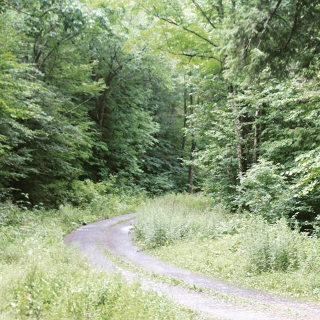
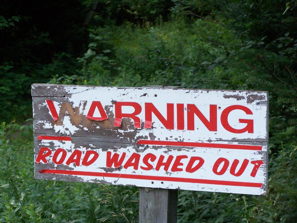
There are 5 fairly remote roadside campsites along Wolf Lake Road, as you head down to Woodhull Lake. Note also how there are lean-tos at Bear Lake and Woodhull Lake. The roadside campsites have no facilities, and some can be muddy as they are not hardened with gravel.
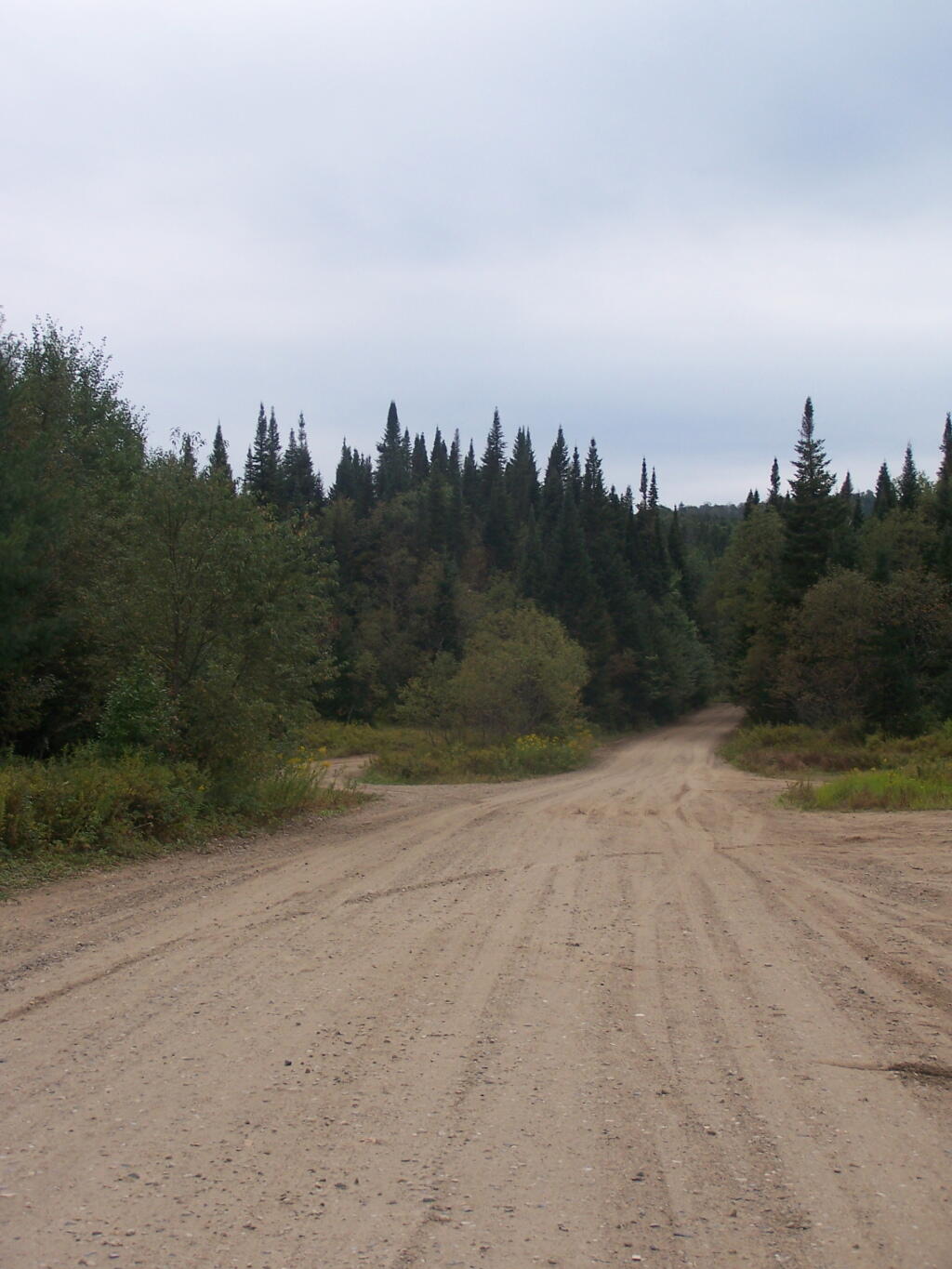
Wolf Lake Road has recently been rebuilt and resurfaced with gravel, however spring rains did lead to one part that may lead low-clearance cars to bottom out. Camp on this road, and your unlikely to see more then 2-3 people drive by on any particular day.
Be aware that the last 1/8th of a mile to Woodhull Lake is gated, so you’ll have to carry your boat the rest of the way down to the lake.
Click to download or print this map.

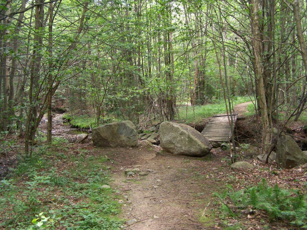
Remsen Falls.
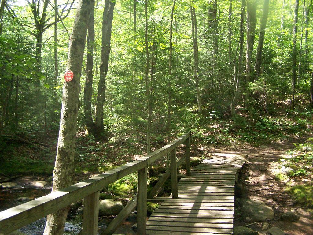
Remsen Falls, which probably should be called “Remsen Rapids”, is a popular swimming place, and offers two well used campsites. There is an outhouse and picnic table down here. The trail follows a gated dirt road.
Click to download or print this map.