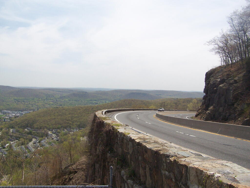
The storm king highway has many sweeping curves and cuts into the mountain. It wouldn't comply with modern highway standards but is pretty remarkable to look at.
Taken on Tuesday April 22, 2008 at Storm King Mountain.
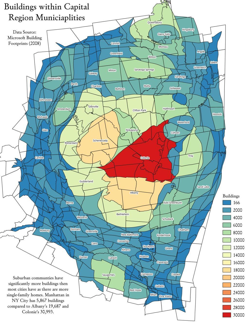
In dense urban areas like the City of Albany there are fewer but taller buildings compared to the suburbs were single family homes dominate.
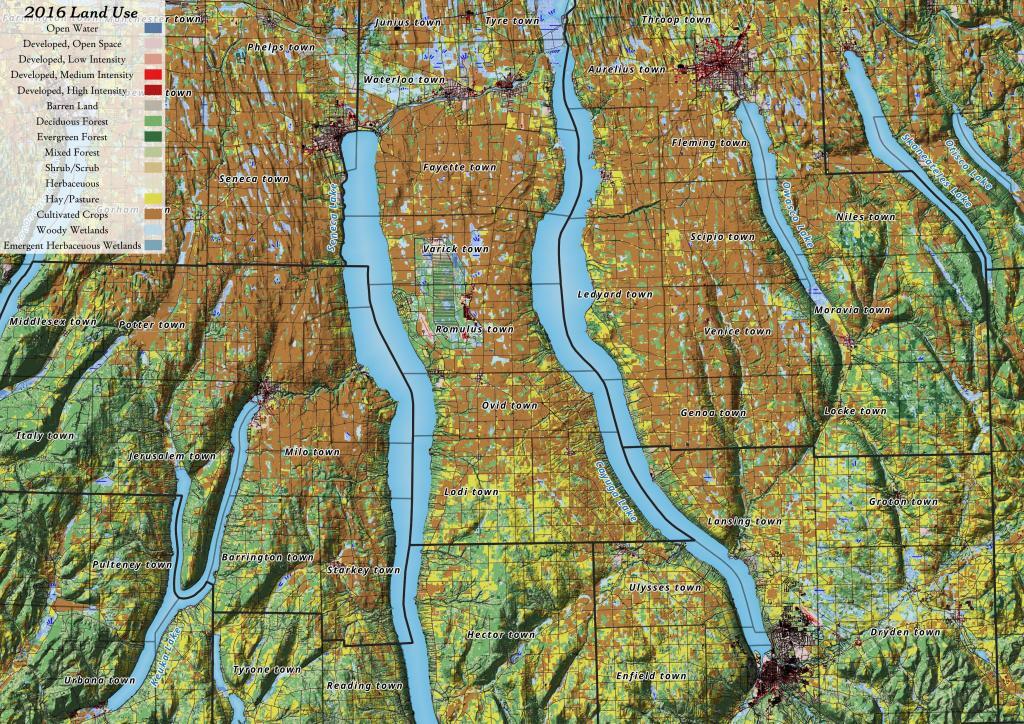
Yesterday, I downloaded the National Land Cover Data for 2016. I had some older data but I hadn't updated it in years, but soon realized I could make some very interesting maps and graphics with this data. The Finger Lakes are kind of interesting to look at in particular as you can see the Northern Finger Lakes have a lot of cultivated lands -- mostly corn and soybeans -- for feeding dairy cattle, while the more upland and rocky lands in the Southern Finger Lakes are either wooded or pasture.
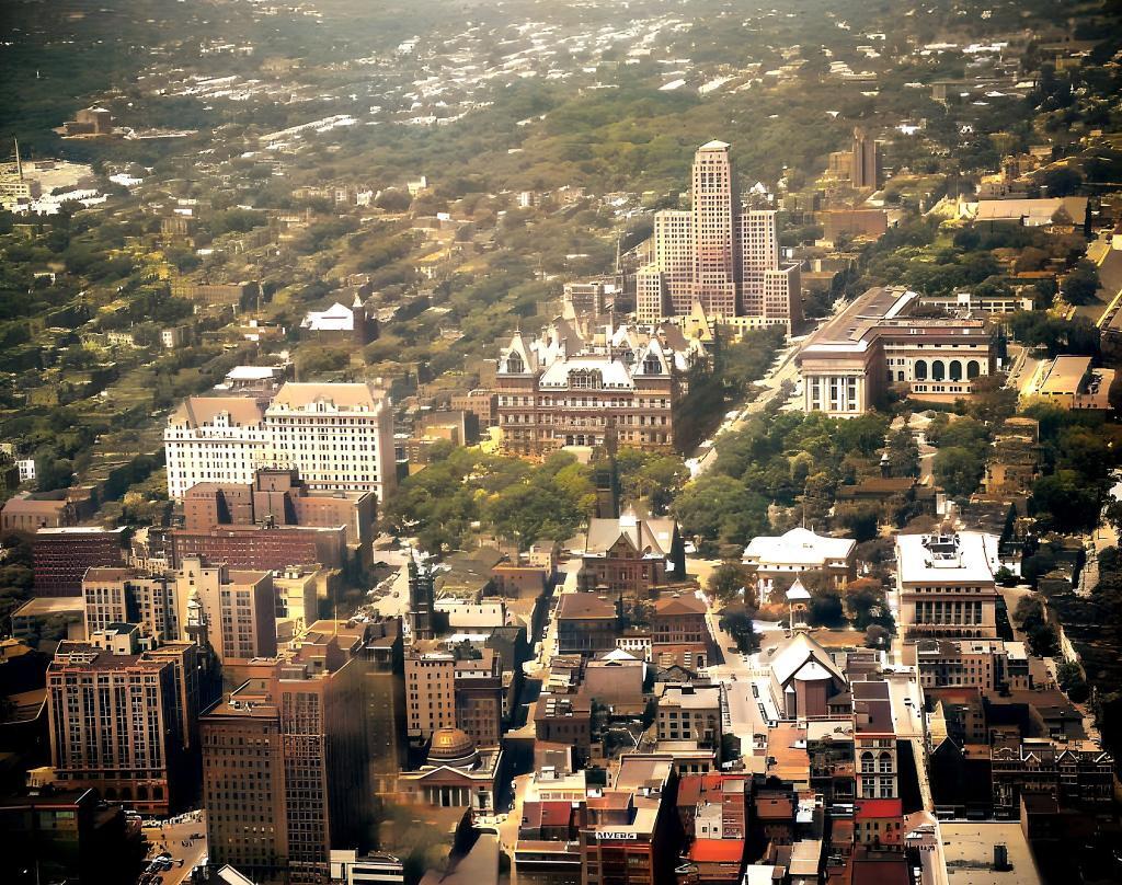
Colorized Fairchild Imagery from NYS Archives.
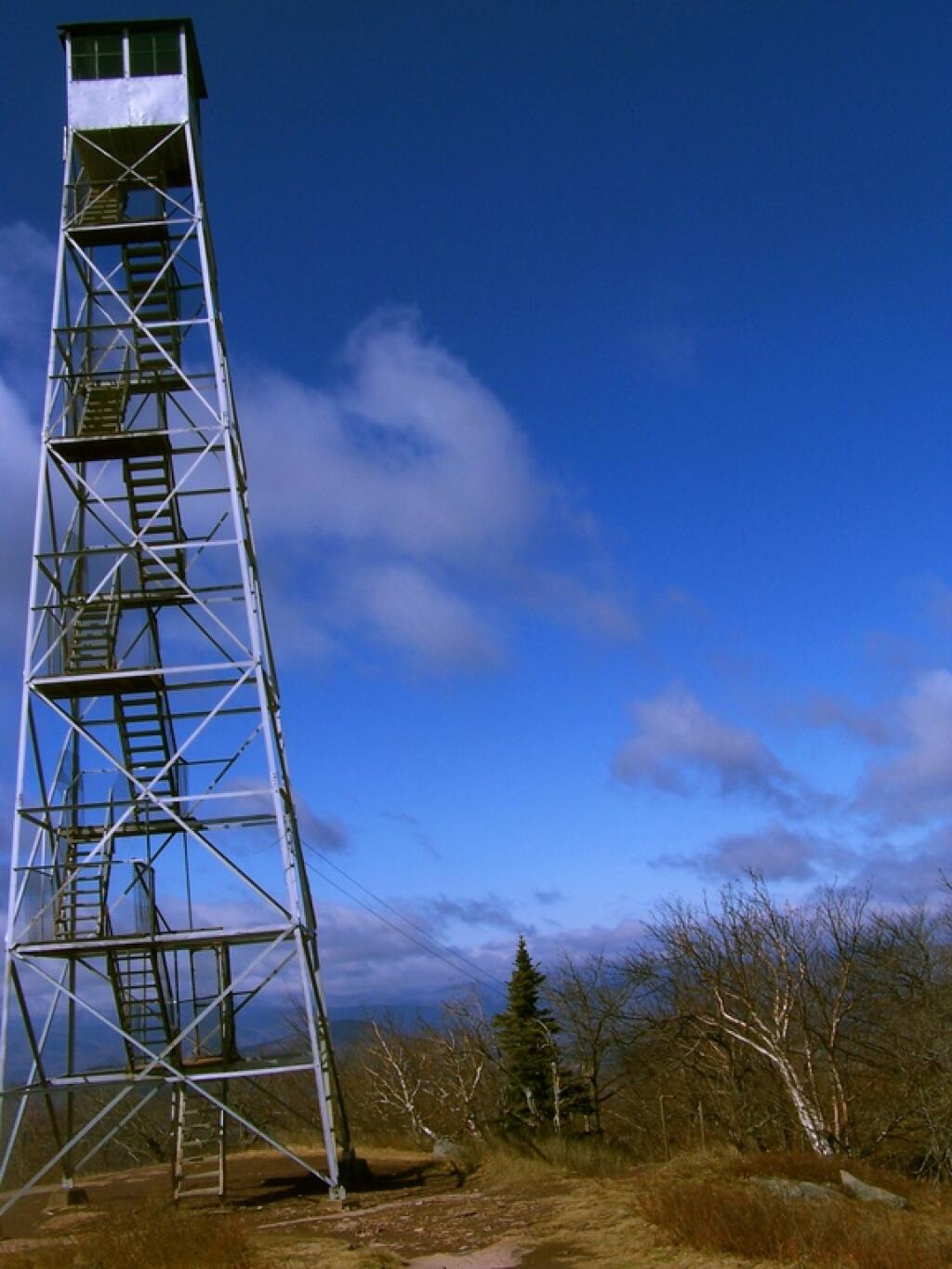
This is the tower on Overlook Mountain.
Taken on Sunday April 5, 2009 at Overlook Mountain.