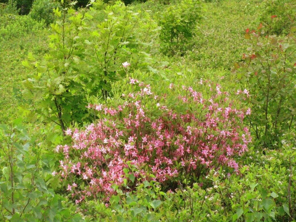
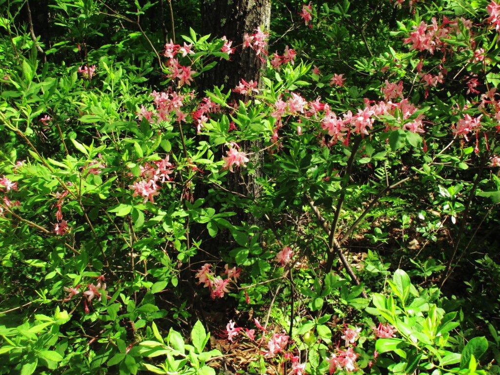
Pink In The Blueberry Fields
The first real blast of hazy, hot summer weather appears to arrive Sunday, June 11 through at least Tuesday, June 13th. We are looking at temperatures approaching or exceeding 90 degrees in Albany with dew points reaching into the mid to upper 60s. The heat will somewhat subside come Wednesday, June 14th with thunderstorms breaking as a cold front breaks through.
That’s still more then a week out, but be prepared for hot and humid summer. It’s coming!
"The odds favor a hotter than average summer for much of the Western U.S., and a closer to average one for the Eastern U.S., according to the May seasonal forecasts from The Weather Company’s WSI branch, and Columbia University’s International Research Institute for Climate and Society (IRI). Meteorological summer began on June 1, and the first week of summer has been on the cool side for much of the United States. However, a shift in the jet stream pattern is coming late this week and into early next week, which will bring hot conditions to much of the eastern half of the U.S. WSI anticipates the possibility of a weak El Nino late summer, perhaps with enough influence on the tropical atmosphere to limit the magnitude of the heat across the northern Plains, Great Lakes, and Eastern U.S. Similarly, in an outlook issued in mid-May, a model-based outlook from IRI and NOAA gave slightly-better-than-even odds of El Niño developing. However, the offiical NOAA/IRI forecast from early May has lower odds, between 40% and 50%. If El Niño does not develop, the odds of stronger and more widespread U.S. heat this summer will rise."
"NOAA is predicting increased odds of a hot summer not only for the Western U.S., but also for the South and Northeast. WSI also predicts a hot summer for the Southeast during July and August. So, what does this mean for air pollution levels this summer?"
Wet for the first half of the week. Then warming up for the second half, with some unstable weather heading into the weekend, but much warmer but still mostly free of the muggy conditions that sometimes arrive once we get closer to summer. Next Monday, is when the really hot and muggy weather is expected to arrive, but that’s not shown on this table.
| Weather Summary | ||||
|---|---|---|---|---|
| Today. | Chance of T-storms | 69 degrees | 8:29 sunset | |
| Tonight. | Heavy Rain | 54 degrees | 5:17 sunrise | |
| Tuesday. | Showers is likely | 55 degrees | 8:30 sunset | |
| Tuesday Night. | Showers is likely | 49 degrees | 5:17 sunrise | |
| Wednesday. | Chance of Showers | 66 degrees | 49 max dew point | 8:31 sunset |
| Wednesday Night. | Slight Chance of Showers | 48 degrees | 5:16 sunrise | |
| Thursday. | Partly Sunny | 73 degrees | 52 max dew point | 8:31 sunset |
| Thursday Night. | Mostly Cloudy | 51 degrees | 5:16 sunrise | |
| Friday. | Chance of Showers | 76 degrees | 53 max dew point | 8:32 sunset |
| Friday Night. | Mostly Cloudy | 57 degrees | 5:16 sunrise | |
| Saturday. | Chance of Showers then Chance of T-storms | 78 degrees | 56 max dew point | 8:32 sunset |
| Saturday Night. | Mostly Cloudy | 58 degrees | 5:16 sunrise | |
| Sunday. | Mostly Sunny | 82 degrees | 60 max dew point | 8:33 sunset |
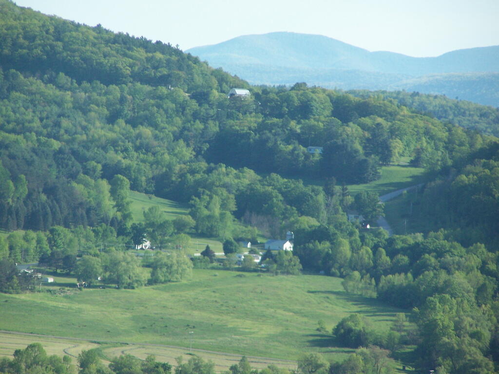
Paying Thruway tolls is for the little people and those in a hurry, with no time to see America. For me, taking Old Albany Turnpike and Pleasant Valley Road, meant no tolls, and driving right past the toll booth on the Berkshire Spur and visiting quaint hamlets like Old Chatham.
"But in this country, we forced people into toxic neighborhoods based on the color of their skin, and it still plays an overwhelming role in which people gets a real shot to be healthy, happy, and hopeful. In other words, the walls are still there."