Scientists uncover huge reservoir of melting carbon under Western United States
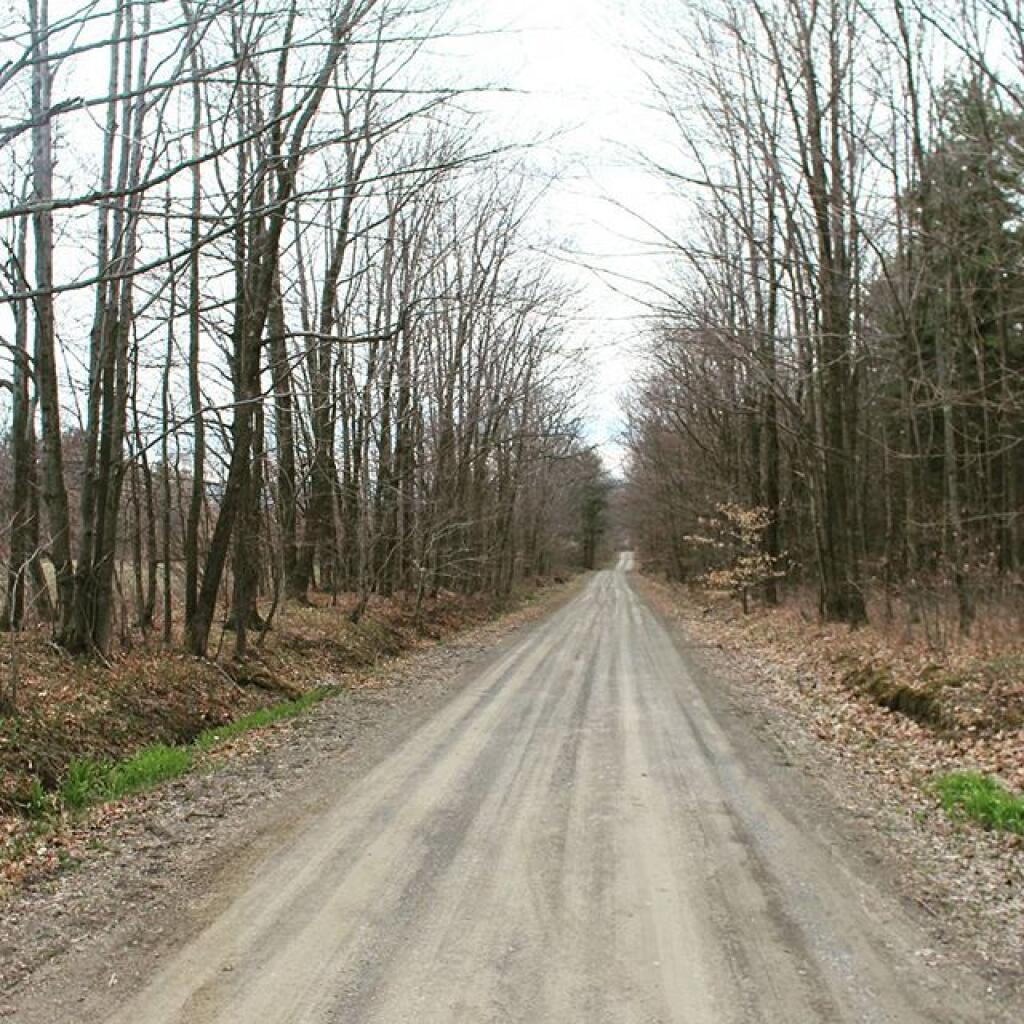
My GPS calls it Chicken Co-op Road
In Donald Trumps America There Are No More Trees, Only Good Religion
April 27, 2017 5 PM Update
Good evening! Partly cloudy and 74 degrees in Albany. There is a south-southeast breeze at 10 mph. The dew point is 56 degrees. I think you might describe the weather this evening as being quite pleasant.
The sun will set at 7:51 pm with dusk around 8:22 pm, which is one minute and 8 seconds later than yesterday. At sunset, look for partly clear conditions and 70 degrees. The dew point will be 55 degrees. There will be a south-southeast breeze at 9 mph. Yes, I’m going to have a quick dinner then head down to the park for a while.
Tonight will have a chance of showers and thunderstorms, mainly after 3am. Increasing clouds, with a low of 60 degrees at 3am. 18 degrees above normal. Maximum dew point of 56 at 6pm. South wind 8 to 10 mph. Chance of precipitation is 40%. New rainfall amounts of less than a tenth of an inch, except higher amounts possible in thunderstorms. In 2016, it got down to 35 degrees under mostly cloudy skies. The record low of 25 occurred back in 1947.
Waxing Crescent Moon tonight with 13% illuminated. The moon will set around 10:36 pm. The First Quarter Moon is on Wednesday night with mostly cloudy expected. The Full “Flower” Moon is in 2 weeks. The sun will rise at 5:53 am with the first light at 5:22 am, which is one minute and 26 seconds earlier than yesterday. Tonight will have 10 hours of darkness, a decrease of 2 minutes and 33 seconds over last night.
Tomorrow will have a chance of showers, mainly before 8am. Cloudy through mid morning, then gradual clearing, with a high of 77 degrees at 3pm. 13 degrees above normal. Maximum dew point of 56 at 6am. West wind 6 to 8 mph. Chance of precipitation is 30%. New precipitation amounts of less than a tenth of an inch possible. A year ago, we had mostly cloudy skies and a high of 58 degrees. The record high of 92 was set in 1990. There was a dusting of snow in 1966.
The weekend doesn’t get my vote for heading out of town. Saturday, a chance of showers, with thunderstorms also possible after 2pm. Mostly cloudy, with a high near 77. South wind 6 to 13 mph becoming west in the afternoon. Winds could gust as high as 24 mph. Chance of precipitation is 40%. New rainfall amounts of less than a tenth of an inch, except higher amounts possible in thunderstorms. Maximum dew point of 53 at 12pm. Sunday, a chance of showers and thunderstorms, mainly after 8am. Partly sunny, with a high near 67. Chance of precipitation is 30%. New rainfall amounts of less than a tenth of an inch, except higher amounts possible in thunderstorms. Maximum dew point of 46 at 6am. Typical average high for the weekend is 64 degrees. So we will be much above normal.
There is a lot of summer ahead, probably 25 weeks before it gets really too cold to camp although Labor Day Weekend is in 18 weeks and many of the beaches close before then. But the cycle goes back around again.
In four weeks on May 25 the sun will be setting at 8:21 pm, which is 29 minutes and 29 seconds later then today. In 2016 on that day, we had fog, rain and temperatures between 88 and 51 degrees. Typically, you have temperatures between 72 and 50 degrees. The record high of 94 degrees was set back in 1981.
Looking ahead, Start of June is in 5 weeks.
Carbon Tax per Year
A $50/ton carbon tax would bring in $1,265 billion a year. In contrast, entire corporate income tax brings in only about $350 billion.
Stuck magnum 315
When big iron gets stuck in soft clay.