August 18, 2016 Night

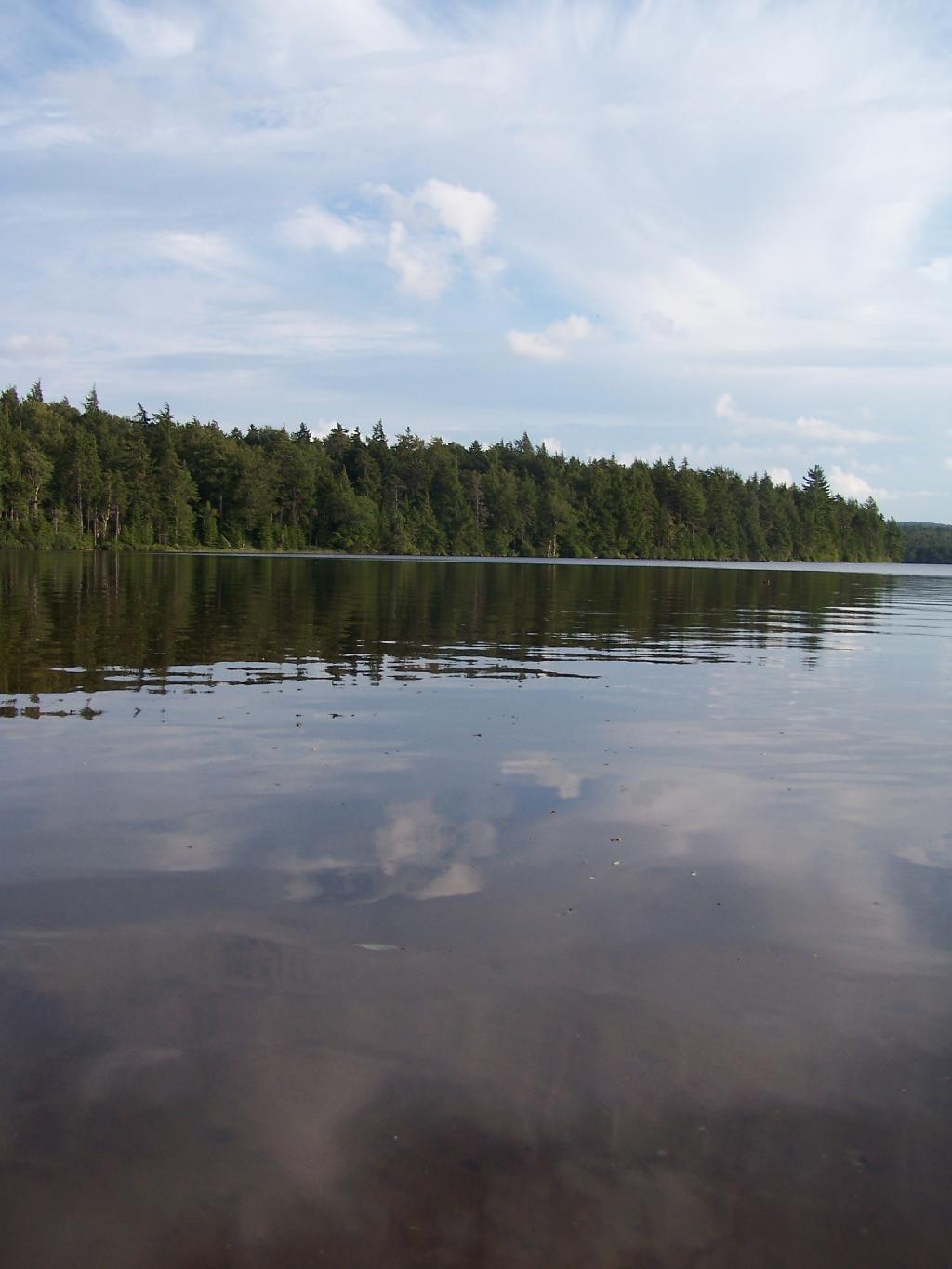
My truck is mostly packed for camping this weekend and the kayak is on the roof, the fluids are good, all gassed up and ready to go. I think it will be a nice weekend up in the Adirondacks, potentially my last week camping this summer. We will see. A lot depends on the weather and my schedule. 

Kind of muggy tonight with a temperature of 72 degrees and a dew point of 67. Nice big full moon tonight, the Sturgeon Moon. The Last Quarter Moon is next Thursday. The Full β€œCorn” Moon is on Friday, September 16th.

Tonight will have patchy fog after 2am. Otherwise, partly cloudy, with a low of 63 degrees at 5am. Three degrees above normal. Maximum dew point of 67 at 10pm. Northwest wind around 5 mph. The record low of 43 occurred back in 1977. 

Tomorrow will have patchy fog before 9am. Otherwise, sunny, with a high of 87 degrees at 3pm. Seven degrees above normal. Maximum dew point of 66 at 8am. August weather. North wind around 6 mph. The record high of 92 was set in 1899. The sun will rise at 6:06 am with the first light at 5:36 am, which is 1 minutes and 4 seconds later then yesterday.

Looking ahead, State Fair Opens in a 1 week, First Day of Autumn is in 5 weeks, Last Recorded Day Above in 90 in Albany is in 7 weeks, First Day with Average High Below 60 is in 9 weeks and Thanksgiving is in 14 weeks.

Heading Around The U

Horseshoe Lake is fairly large, all things considered. The open bays can be a bit rough, especially when you get into the wider portion of the U in the horseshoe.

Taken on Thursday August 12, 2010 at Horseshoe Lake.

August 18, 2016 Evening

Good evening! A decent evening as the shadows grow over Downtown Albany as sunset approaches around 7:50. Around 82 degrees with a modest feeling 65 dew point with a westerly breeze. 

Today was a decent day with things generally working out after several cups of coffee. Sometimes people can be jerks but you have to just shake it off. Sometimes things a just glitches and they work out in the end. We will see. 

August 18, 2016 4 PM Update – Weeked Update

Here is were things stand for Powley Place this weekend on the forecast side of things …

Tomorrow night will have patchy fog between 2am and 4am. Otherwise, mostly clear, with a low of 60 degrees at 1am. Typical for Tomorrow night. Maximum dew point of 64 at 8pm. Calm wind. The record low of 45 occurred back in 1998.

Saturday will have a slight chance of showers and thunderstorms after noon. Patchy fog between 7am and 9am. Otherwise, sunny, with a high of 80 degrees at 2pm. One degrees above normal. Maximum dew point of 64 at 9am. Calm wind becoming south 5 to 8 mph in the afternoon. Chance of precipitation is 20%. The record high of 97 was set in 1937.

Saturday night will have a slight chance of showers and thunderstorms. Partly cloudy, with a low of 65 degrees at 5am. Six degrees above normal. Maximum dew point of 64 at 7pm. Chance of precipitation is 20%. The record low of 42 occurred back in 1977.

Sunday will have a chance of showers and thunderstorms. Partly sunny, with a high of 77 degrees at 2pm. Three degrees below normal. Maximum dew point of 66 at 4pm. Chance of precipitation is 50%. The record high of 98 was set in 1916.