Good evening! The rain has slowed to a slight drizzle and it’s 68 degrees in Delmar. Calm wind. The dew point is 66 degrees.
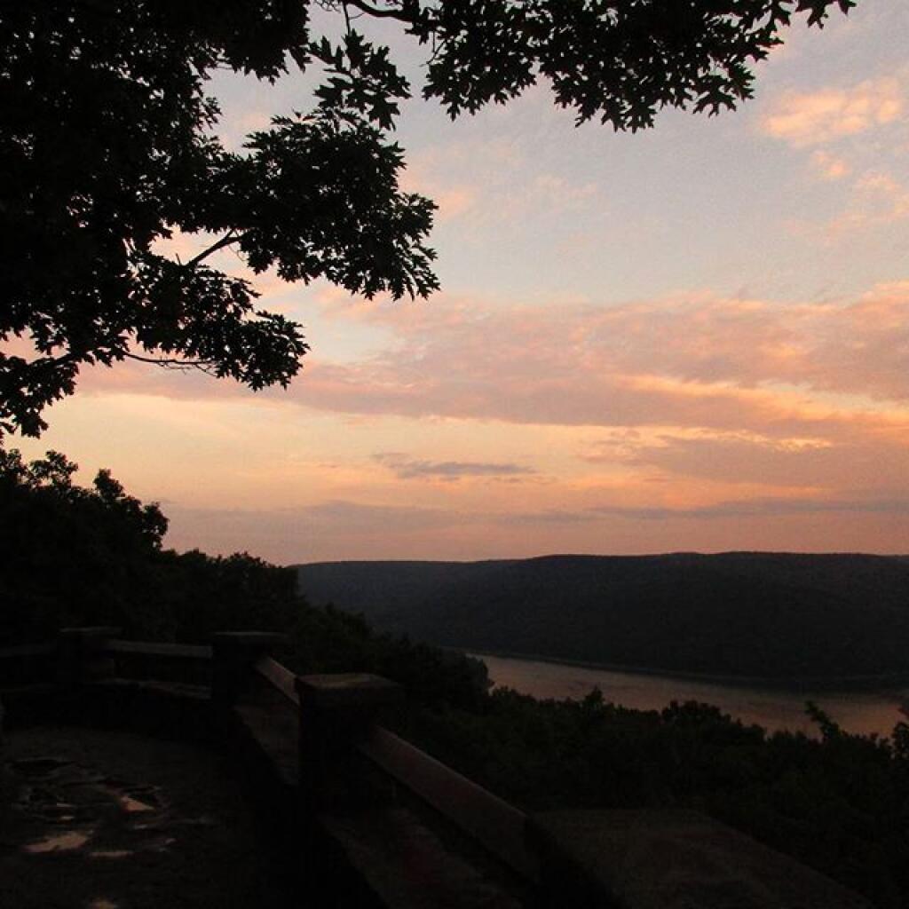
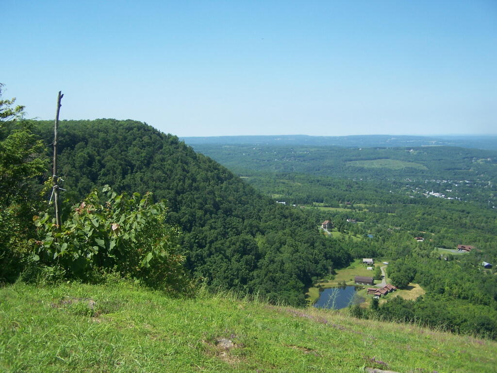
Mostly unpacked from camping. Back to work tomorrow. I better get some sleep soon. It was a good trip but I got to get back to a normal sleep schedule.
Tonight will continue to have some scattered showers. Cloudy, with a low of 65 degrees at 5am. Three degrees above normal. East wind 3 to 5 mph. Chance of precipitation is 50%. New precipitation amounts between a tenth and quarter of an inch possible. Maximum dew point of 66 at 11pm. The record low of 46 occurred back in 1964. Waning Crescent Moon tonight with 10% illuminated. The moon will rise around 3:53 am. The New Moon Moon is on Tuesday with mostly cloudy skies expected. The Full “Strugeon” Moon is on Thursday, August 18th.
Tomorrow will have some scattered showers before noon, then a chance of rain and thunderstorms between noon and 4pm, then rain likely and possibly a thunderstorm after 4pm. Some of the storms could produce heavy rain. Cloudy, with a high of 76 degrees at 3pm. A cool and rainy day. Six degrees below normal. Southeast wind around 6 mph. Chance of precipitation is 60%. New rainfall amounts between a quarter and half of an inch possible. Maximum dew point of 68 at 4pm. The record high of 101 was set in 1933. The sun will rise at 5:47 am with the first light at 5:15 am, which is 1 minutes and 2 seconds later then yesterday.
0.9 inch of rain expected between Sunday 11pm and Tuesday 11am. Within the next four days, a total of 0.9 inches of rain is expected.
We have some muggy weather coming up. Sunday 11pm – Monday 10pm. Maximum temperature will be 76 degrees, a heat index reaching 76, and a maximum dew point of 68. Thursday 1pm – Saturday 3pm. Maximum temperature will be 89 degrees, a heat index reaching 93, and a maximum dew point of 68.
Looking ahead, September 11th is in 6 weeks, First Day with More Night then Day in Albany is in 8 weeks, Harvest Moon is in 11 weeks, First Day of Sunset Before 6 PM in Albany is in 12 weeks, National Candy Corn Day Day is in 13 weeks, Halloween is in 3 months, Daylight Savings Time Ends is in 14 weeks, First Day on Average with Low of Freezing is in 15 weeks, Christmas is in 21 weeks and New Years Eve is in 5 months.
Monday Night. Scattered Showers and 65 degrees, 68 max dew point, 5:49 sunrise.
Tuesday. Isolated Showers then Partly Sunny and 80 degrees, 63 max dew point, 8:13 sunset.
Tuesday Night. Mostly Cloudy and 59 degrees, 64 max dew point, 5:50 sunrise.
Wednesday. Mostly Sunny and 82 degrees, 63 max dew point, 8:12 sunset.
Wednesday Night. Partly Cloudy and 64 degrees, 63 max dew point, 5:51 sunrise.
Thursday. Mostly Sunny and 86 degrees, 67 max dew point, 8:10 sunset.
Thursday Night. Partly Cloudy and 67 degrees, 67 max dew point, 5:52 sunrise.
Friday. Mostly Sunny then Chance of T-storms and 89 degrees, 68 max dew point, 8:09 sunset.
Friday Night. Chance of T-storms and 69 degrees, 68 max dew point, 5:53 sunrise.
Saturday. Chance of T-storms and 85 degrees, 68 max dew point, 8:08 sunset.