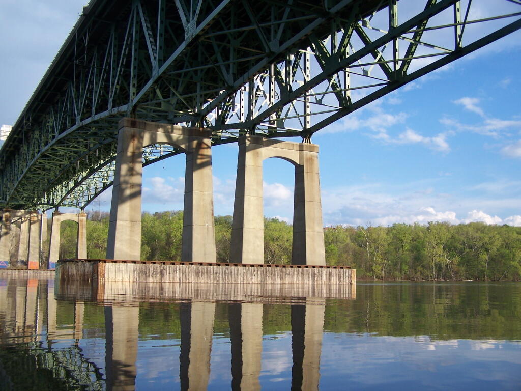
Heading Under Beautiful Patroon Island Bridge
The under-truss bridge is remarkably beautiful structure, largely under appreciated by the general public.
Taken on Saturday May 7, 2011 at Kayak the Hudson.
The under-truss bridge is remarkably beautiful structure, largely under appreciated by the general public.
Taken on Saturday May 7, 2011 at Kayak the Hudson.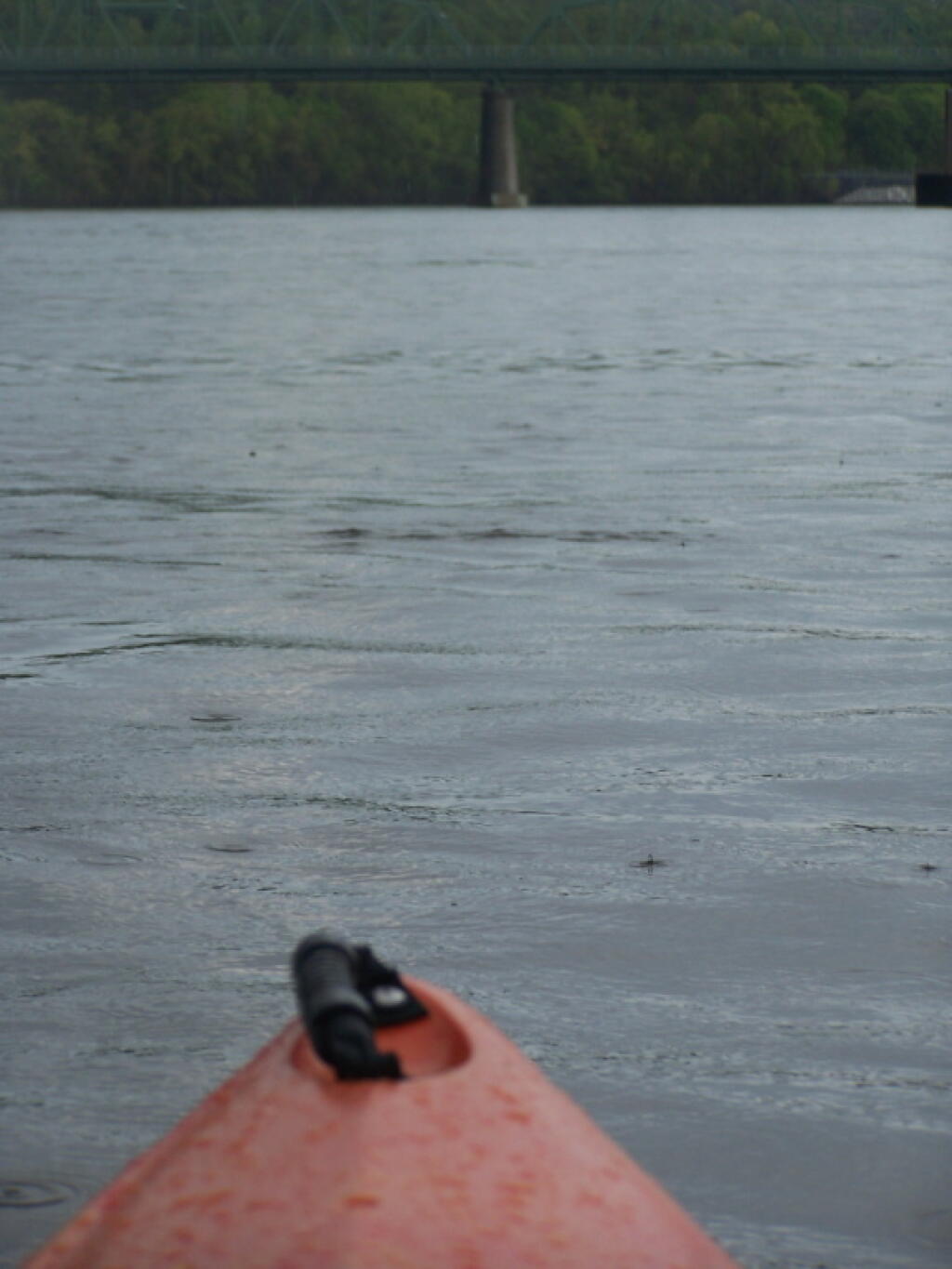
As I approach the South Troy Bridge, that one takes to Hudson Valley.
Taken on Saturday May 7, 2011 at Kayak the Hudson.
Mostly intended for traffic on I-787 and not for boat traffic, especially not in a kayak.
Taken on Saturday May 7, 2011 at Kayak the Hudson.One of the concepts I have grown interested in lately is the use of density to draw districts for governing bodies. Rather then draw districts based on historical lines, partisan politics, or ethnicity, why not draw them based on a formula that considers density?
Politicians probably would not like this system as it would make it hard to game the system. There would be far fewer marginal districts, far fewer competitive non-primary races. Yet, fewer consituencies would be underr-epresented due to their minority status in their districts, and there would be more cohesive blocks of land.