Bring Those Longjohns

Probably the number one thing I forget to pack when fall, winter, and spring camping (and hiking) is my longjohns. I literally have like 10 pairs of longjohns, because I’ve had to go out and buy more pairs when I forget them and I’m a long ways from home.

Longjohns may seem silly. But they really do much to keep you warm. Yet, they aren’t something that’s normally visible to the public, and as such they are out of site and out of mind.

Walking to the Bridge on VT 128

Yet, as soon as you get out in the woods, and start to have cold legs, you realize how nice it would be to pack your longjohns. Sure, one can get another cheap pair of cotton longjohns at any Walmart, but one would be better of it they just remembered to pack longjohns from the get go.

It’s always a good idea not to forget your longjohns!

2011 Pictures of the Year

January.

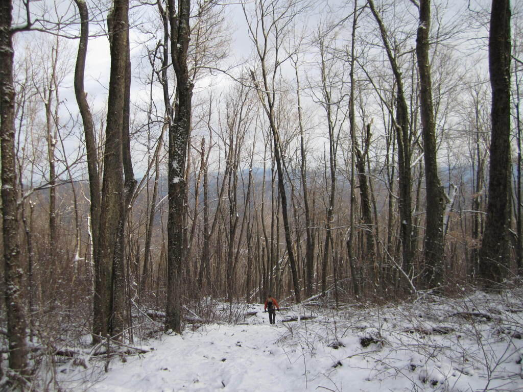
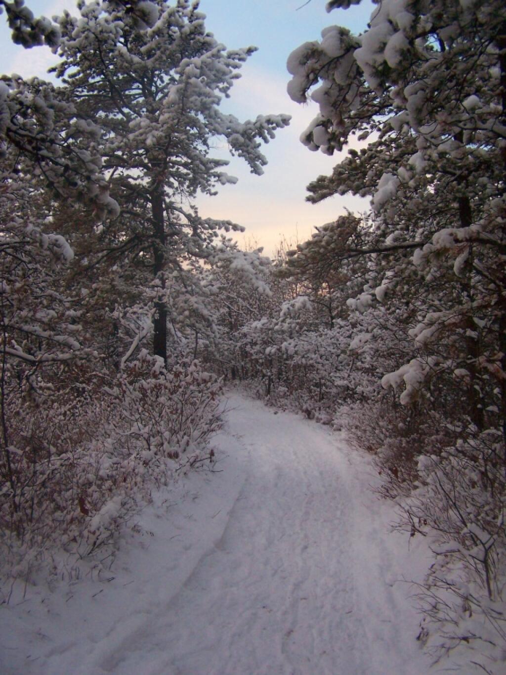
Walking Along the Trail

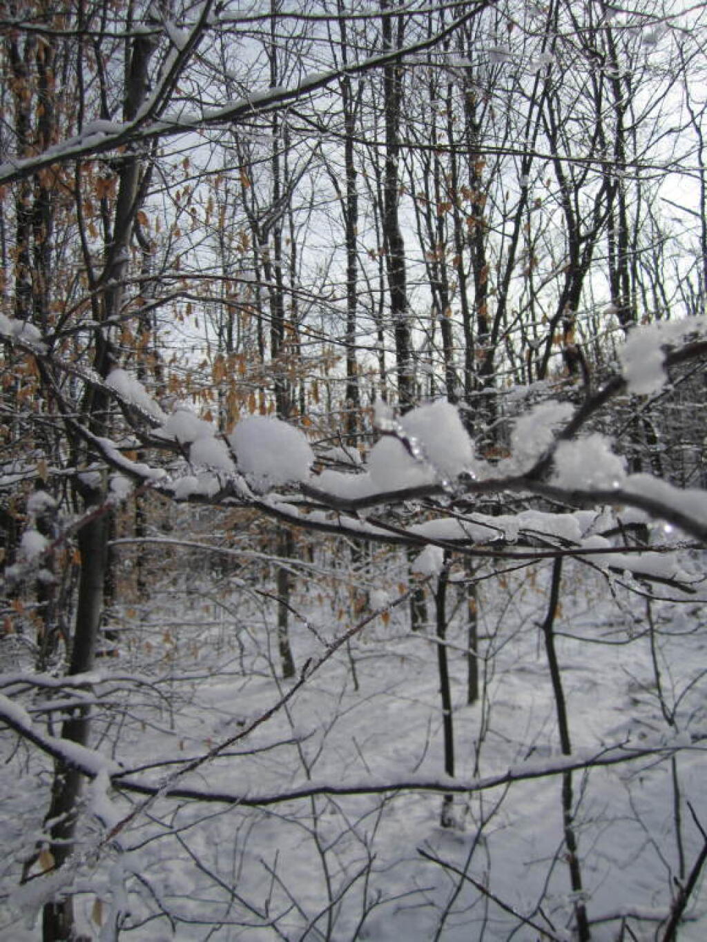
After a fresh snow fall it was a winter wonderland in the Albany Pine Barriens, a forever wild ecosystem on the outskirts of the city. It felt like one was walking through a marshmallow forest.
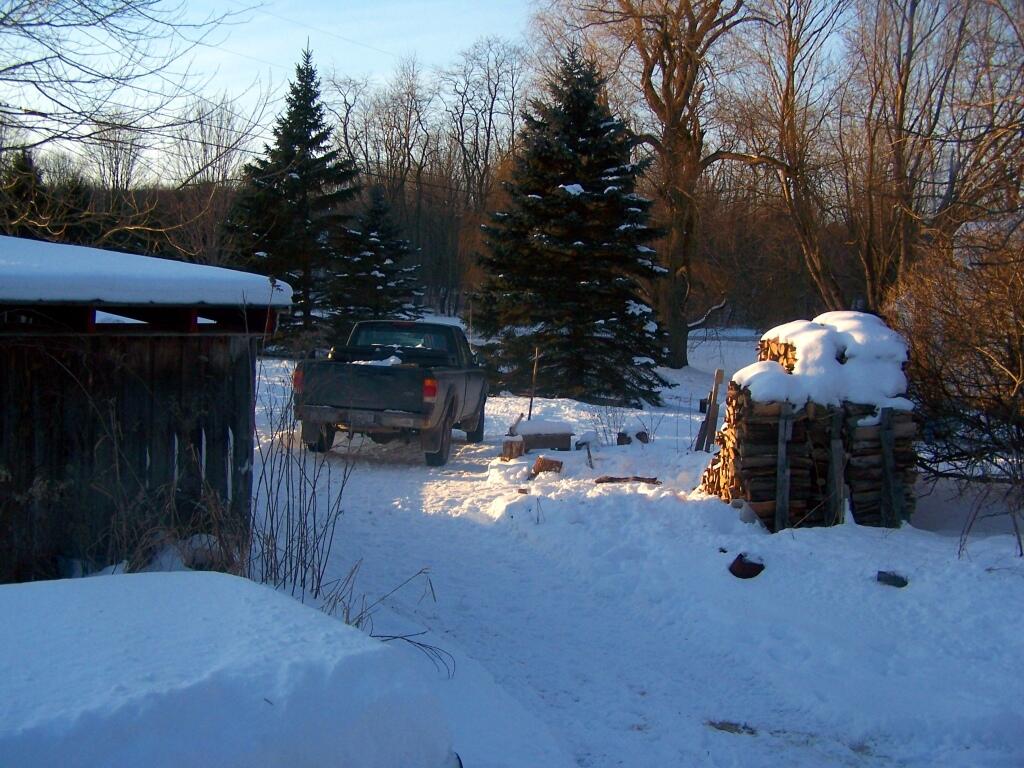
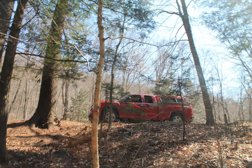
Truck By the Woodpile

A cold winters day at my parents house in late January, after a long cold spell that never seemed to want to end.

February.
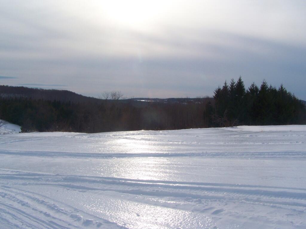
Sheen of Sun on Ice

A icy sheen shown on the snow at Partridge Run, as I went for an afternoon walk with the dogs up there in the middle of the month.
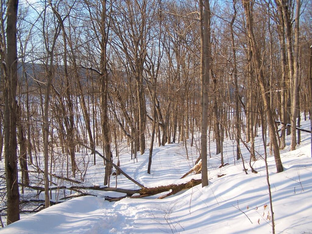
Descending Bennett Hill

Snowshoeing back down Bennett Hill in late February.

March.
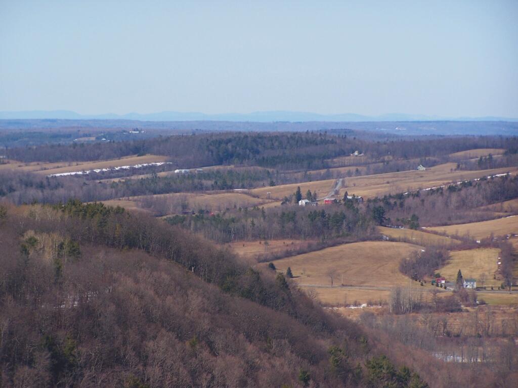
Irish Hill and Beyond

A recently logged section of Cole Hill provided breath-taking views of Irish Hill and the Fox Kill Valley down in Berne.
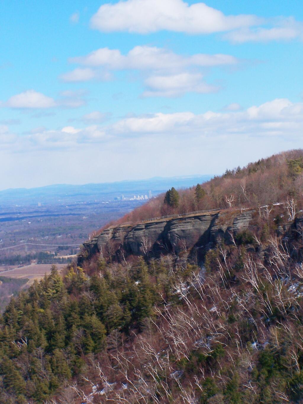
Thatcher Park Cliff

What a clear spring day up at Horseshoe Clove at Thacher Park. Warmer, nicer days can’t be far way.

April.
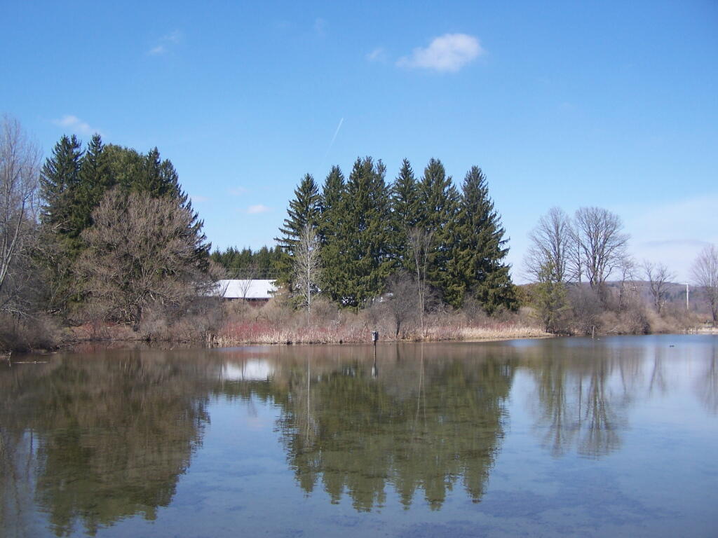
Shallow Pond

April 9th was the first day I got out camping in 2011. Spent the day exploring Rogers Environmental Center, camped at Moscow Hill Horse Assembly Area.
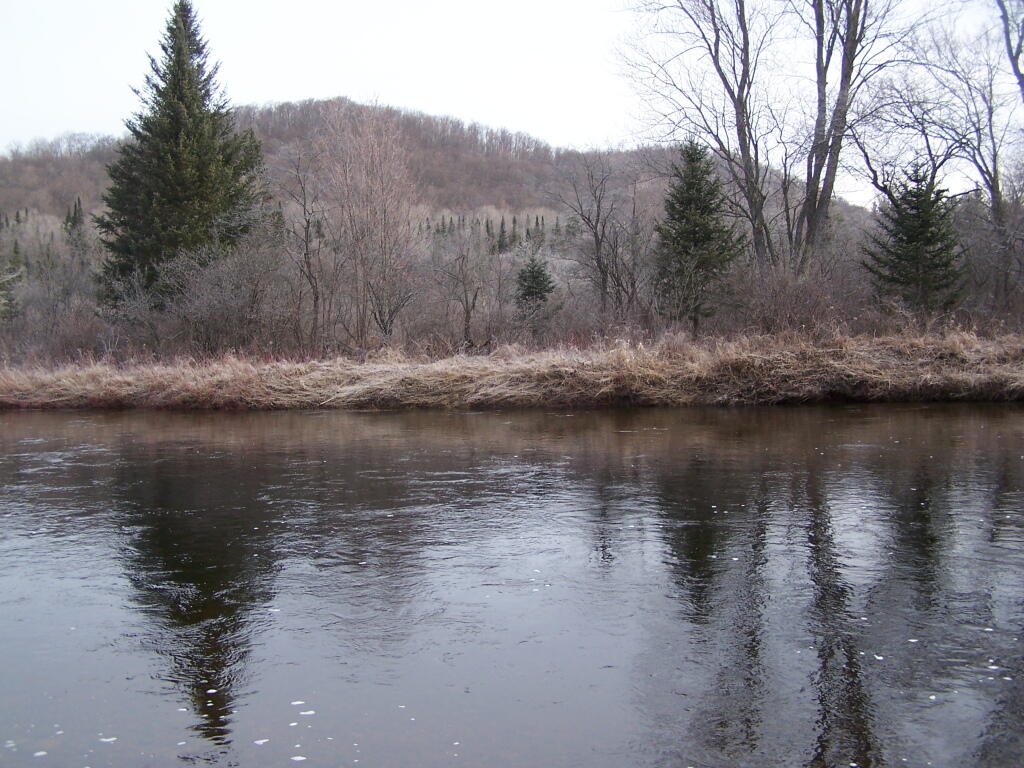
Looking Across the River

It may start to warm up earlier in lower elevations, but winter is still very much a force in late April in the Adirondacks. The East Sacanadaga River on this morning looks icy and cold.

May.
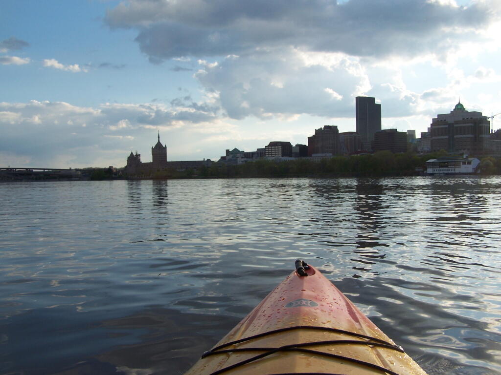
 Albany

There’s Albany! From my kayak. I kayaked up to Downtown Troy from the Corning Preserve.
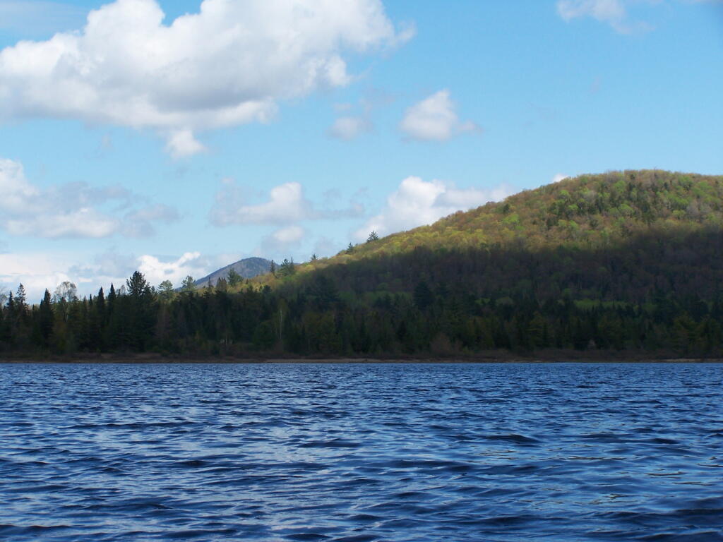
Towards Sand Pond Mountain

Spring finally comes to Adirondacks by late May. Paddling around Cheney Pond, looking towards Sand Mountain in the distance, on the other side of Hoffman Notch.

June.
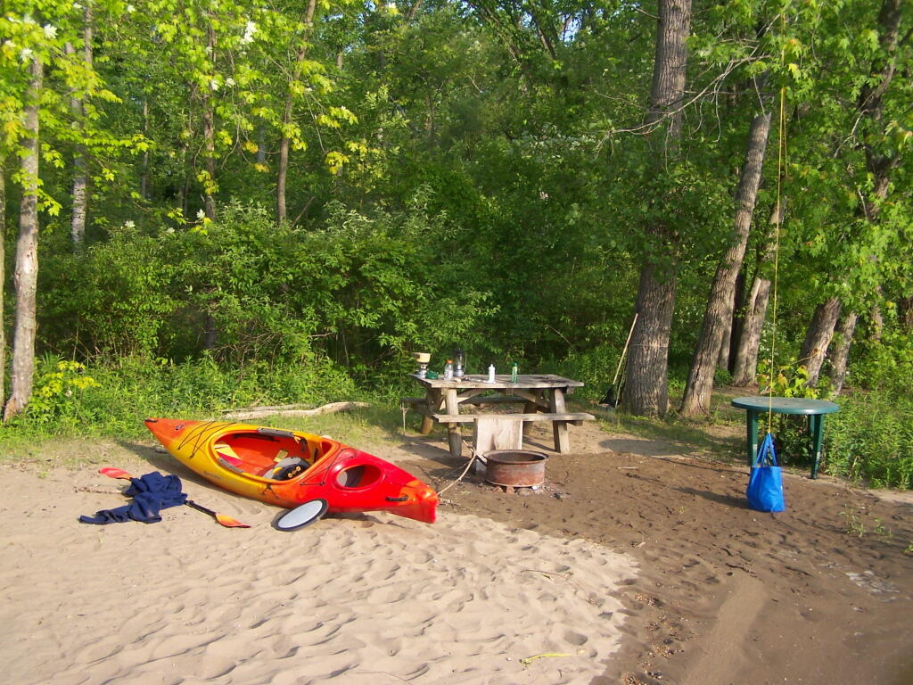
Campsite in Morning

Kayak camping on Stockmans Island in the middle of the Hudson River. What an adventure, one I picked on a night when they had fireworks up at the Coxscake Town Park.
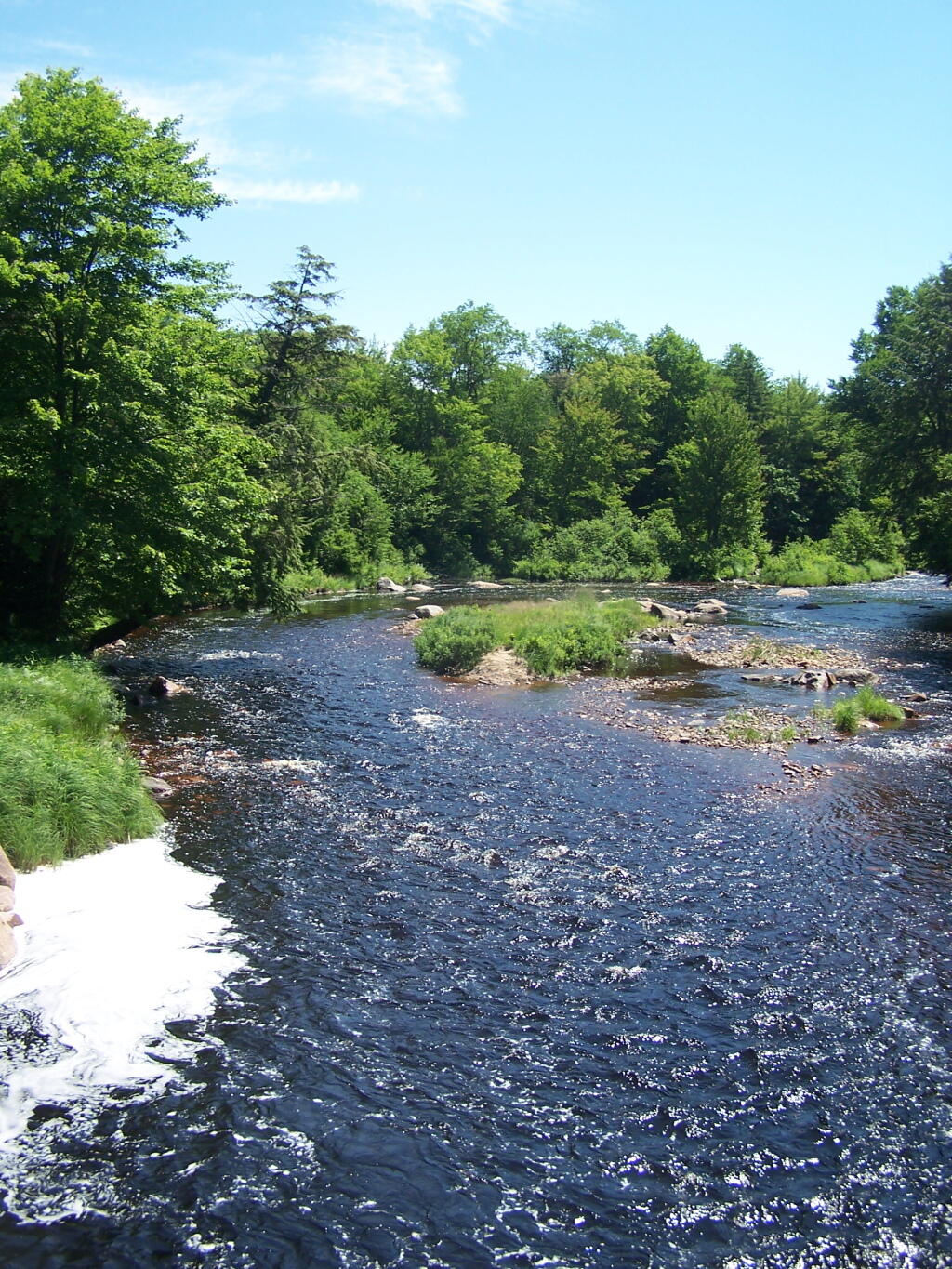
Foam from White Watch on Oswegatchie

Oswegatchie River up in Watson’s Triangle in Adirondacks. There are few places as remote as this that you can drive on largely unmarked and rarely traversed back country roads. Watson’s Triangle is a place far of the beaten path.

July.
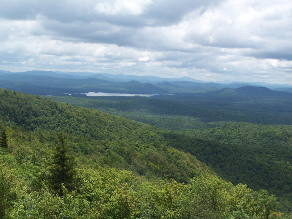
Cloudy Day

A dramatically cloudy day, looking down towards Tupper Lake from Mount Arab.
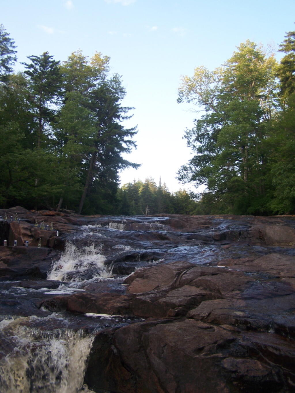
Falling Water

Cooling off at the Potholers on an oppressively humid summer’s day.

August.
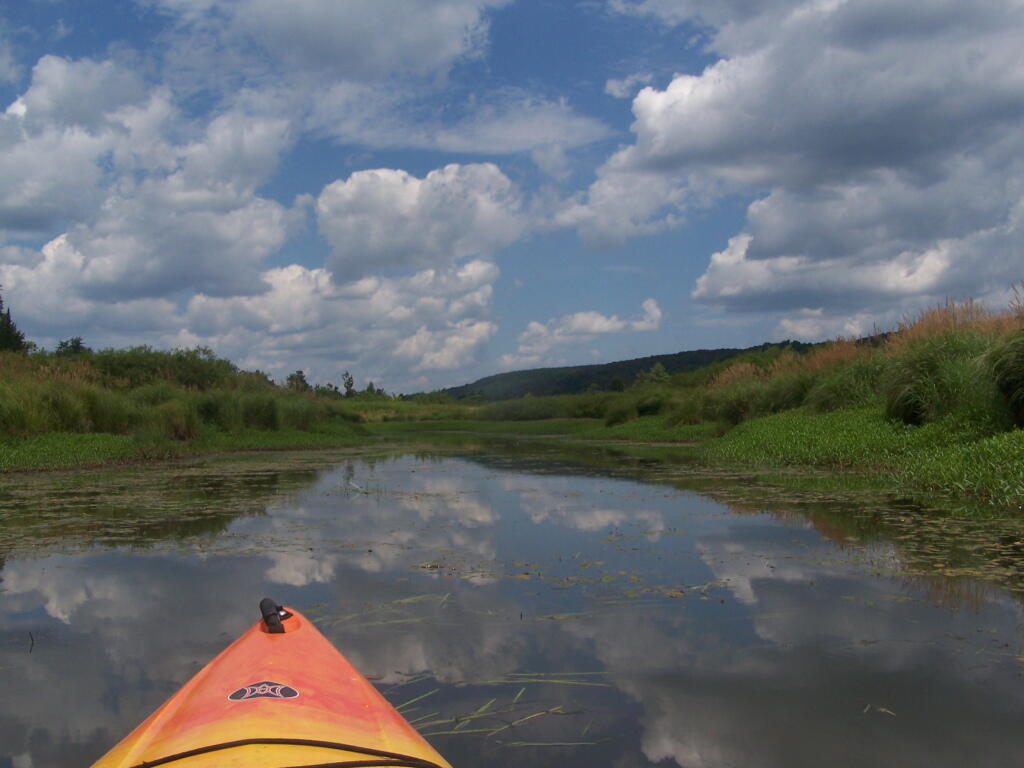
Wider But Shallow Section of Beaver Creek

Exploring Beaver Creek at the Brookfield Railroad State Forest in Brookfield, NY.
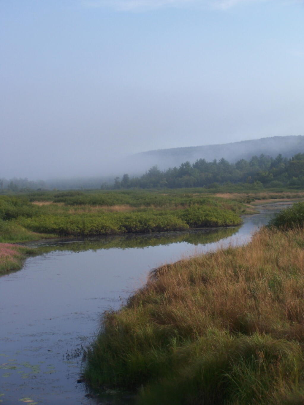
Beaver Creek North

Watching the fog burn off Beaver Creek at Brookfield Railroad State Forest on a summer morning..

September.
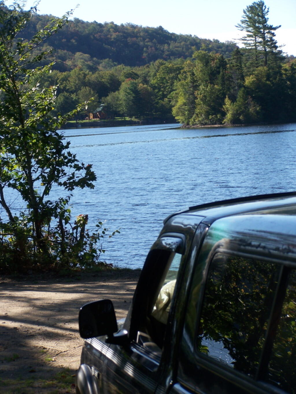
View of Lake from Campsite

A beautiful late summer morning at North Lake in Adirondacks. North Lake is such a jewel, especially as you head farther north on the largely undeveloped portion of the lake.
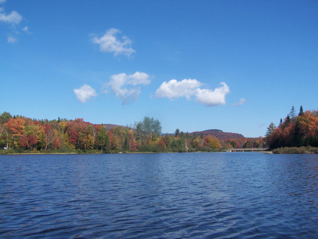
Looking Back to Wakely Dam

Fall was well underway, and even past peak at Moose River Plains by September 20th.

October.
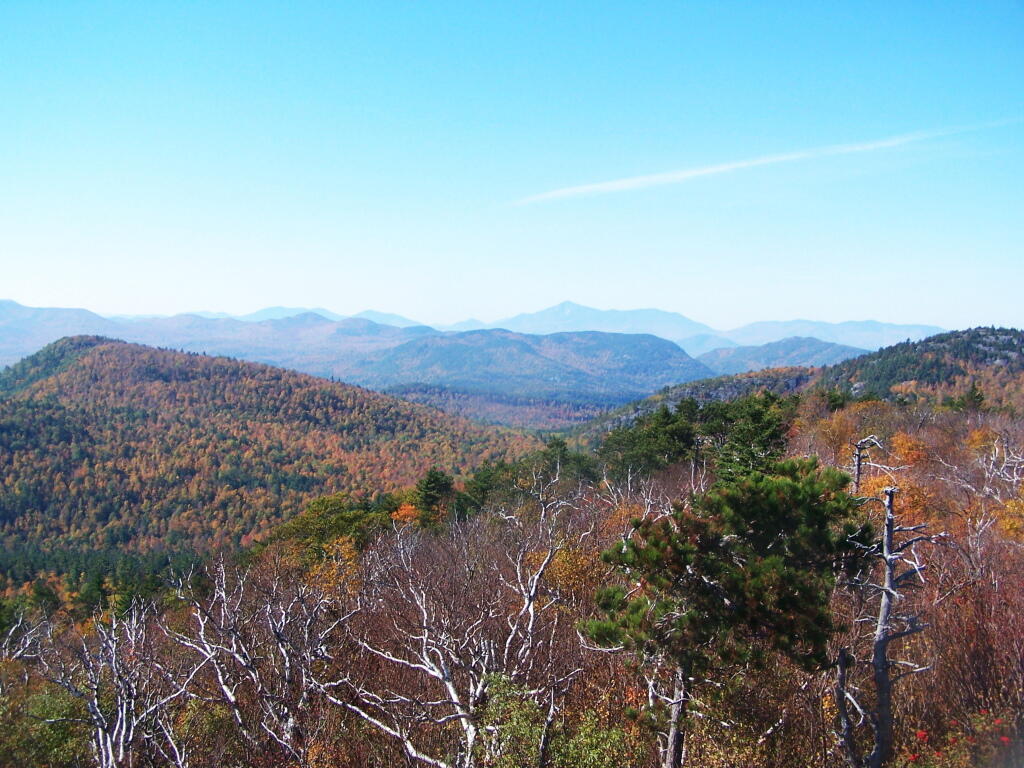
South-West from the Top

Second week of October, I went up to the North Country for some leaf peeping, hiking, and kayaking. The colors may be faded in Central Adirondacks, but still were good in lower elevation parts of the Northern Adirondacks.
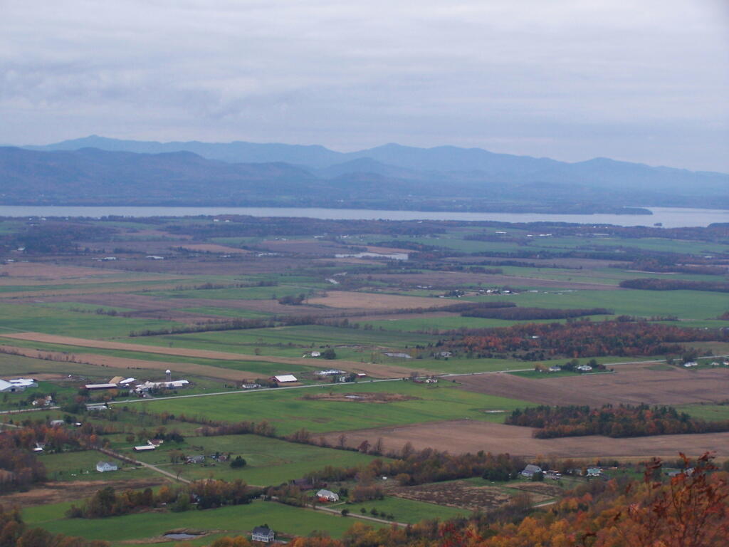
Snake Mountain 5

And later in October, I drove up to Snake Mountain in Vermont, overlooking the Champlain Valley and the Adirondacks. Colors lasted the longest
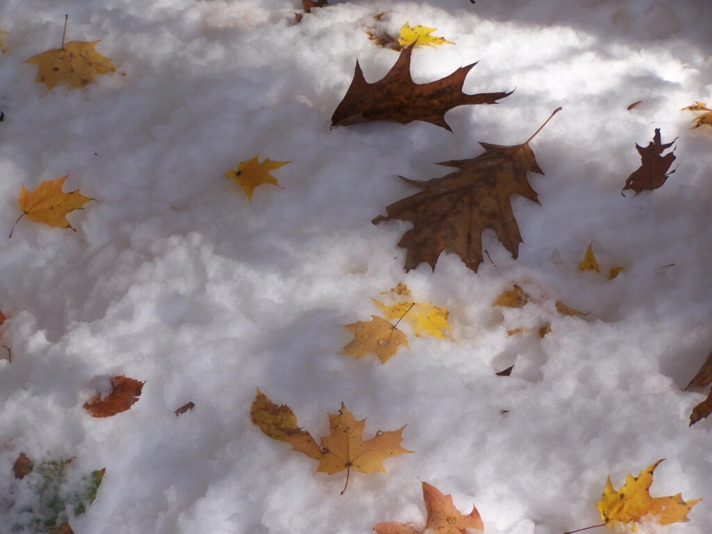
Leaves on Snow

And by October 30th, we had snow, actually several inches, as seen up at Lake Taghkanic State Park.

November.
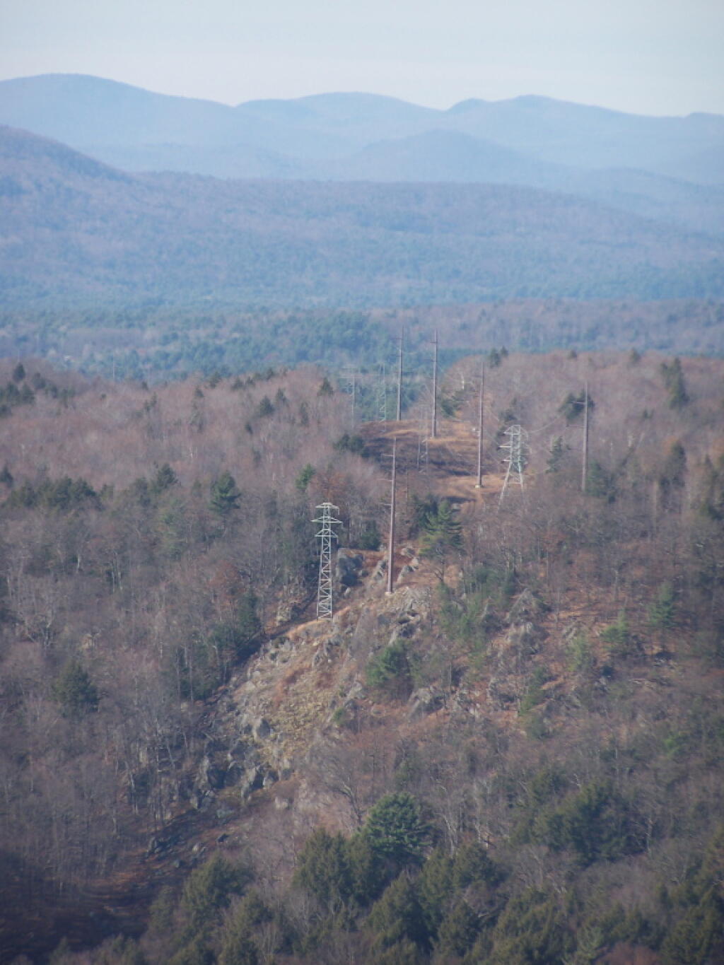
Powerlines Leaving the Hydro Dam

In November I visited Monreau Lake State Park for the first time, and checked out the Palmerstown Ridge above the Hudson River and Spier Falls. These power lines transfer power from Spier Falls Hydro Dam over to Corinth.
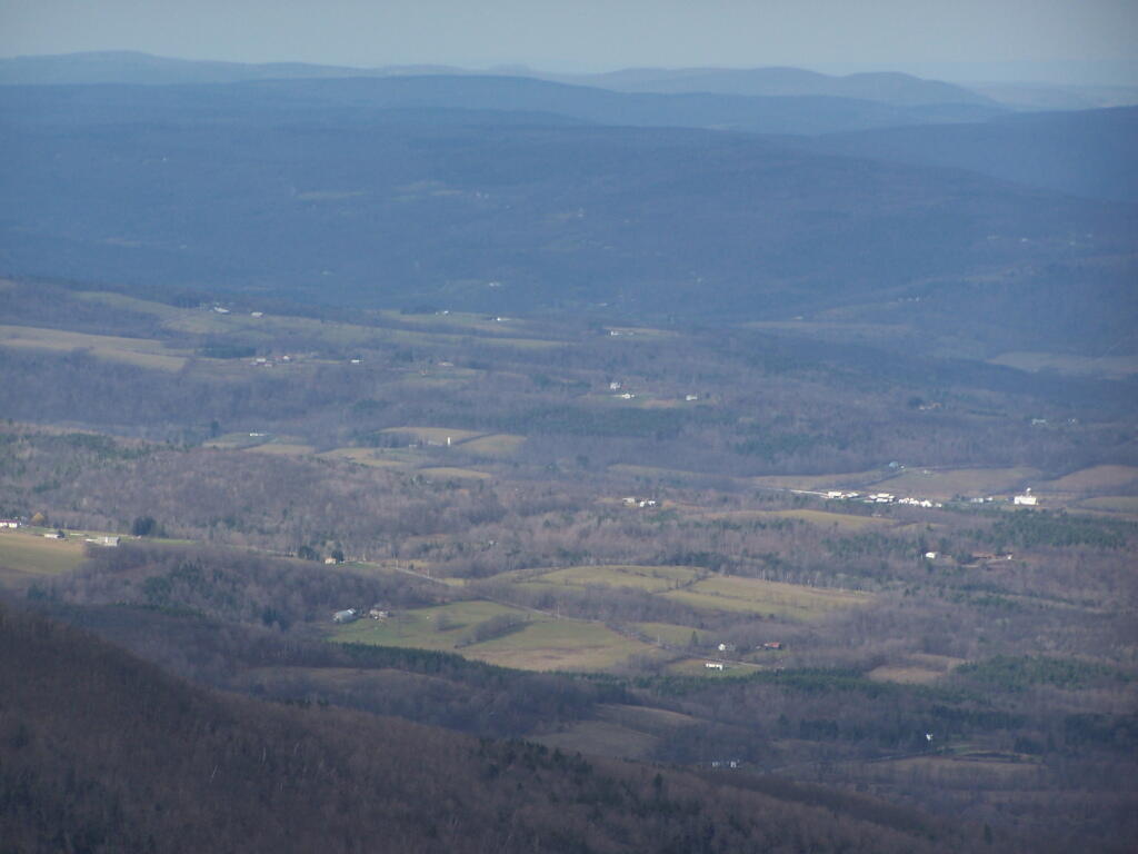
Durham Area

I also hiked up Windham High Peak. I hadn’t been there in many years, and it was interesting to look down at Preston Hollow and Medusa, far, far below.

December.
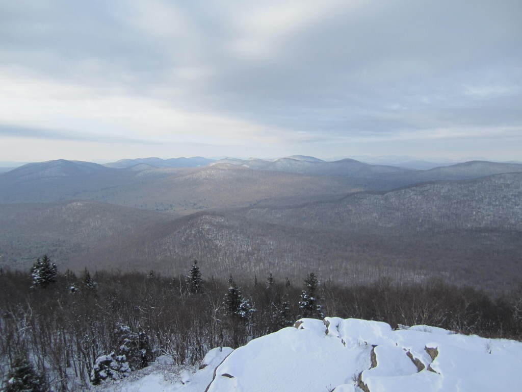
Rays Over Wilcox Lake Wild Forest

On Christmas Day, I hiked up Hadley Mountain. While cloudy and cold, it was very beautiful.
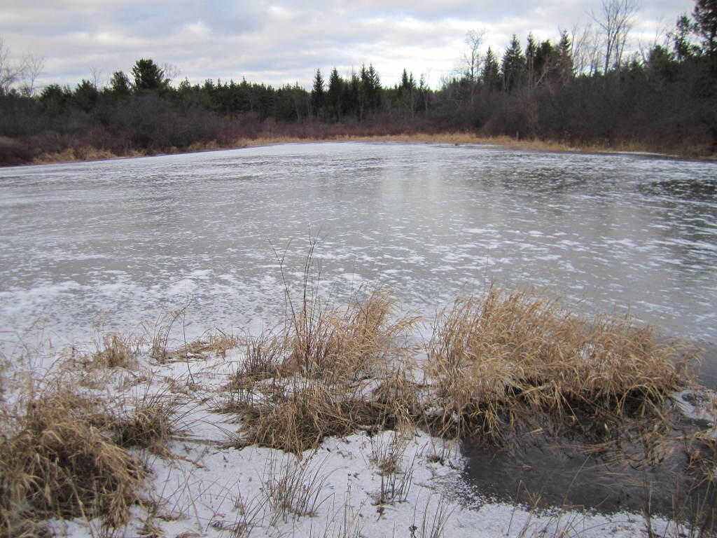
Ice Covered Pond

While the pond at Thacher Park was frozen, there still is very little snow locally.
Why I’ve Gotten Away from Using NYSDOT Topographic Maps

For the first year of doing topographic maps, I relied extensively on using NYSDOT topographic maps, I originally downloaded from the NYSGIS consortium website. The NYSDOT topographic maps have a lot of good information on them, an in many ways have the most accurate topography.

But what I’ve also found with those maps is they have several real limitations…

Saturday night

1) They Don’t Scale Well.

NYSDOT topographic maps are designed to viewed at 1:2400 feet ratio, as they are 7.5″ quads. You can get away with rendering them anywhere between 1:1800 to 1:2600, but beyond that the text looks too small, too crowded, or two pixelated. For smaller parks and larger areas, NYSDOT topographic maps do not work well.

Center of New York Counties

2) Unneeded Information and Clutter.

DOT Topographic Maps try to suit the need of any user, and include information like town lines and other jurisdictional information that is unnecessarily for the average outdoors person.

3) Outdated Information.

Often topographic maps have dated information on man-made boundaries and buildings. The state often buys new land, demolishes existing buildings, and closes off trails. Old trails appear on topographic maps, as do labels such a “Restricted”, even though to this day such roads may be valid, despite the incorrect or outdated information on topographic maps.

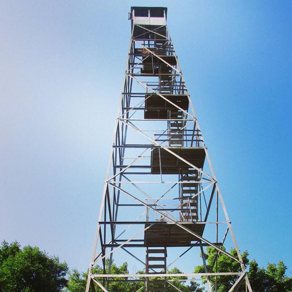
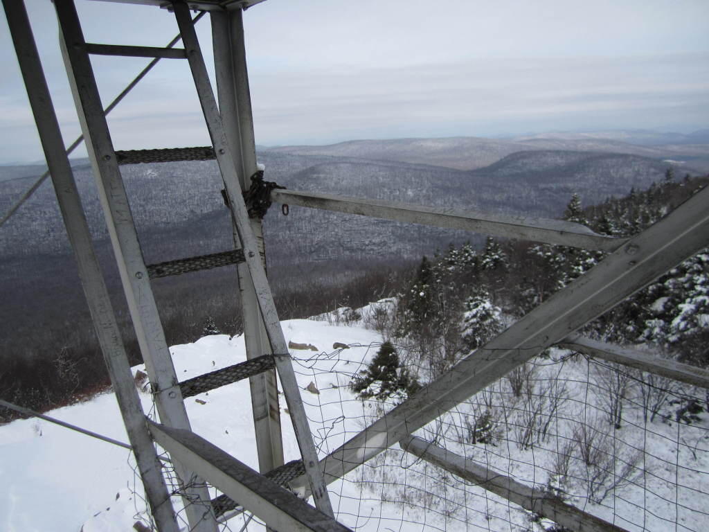
Fire Tower

4) Metric Scale; Differentiating Contour Scales.

Metric elevations are maddening for anyone trying to calculate their elevation from select DOT topo maps, and often when you load multiple topographic maps, they do not fit together seamlessly, as one will be using one unit for contours, while another will use another unit. Contour scales throughout the state very widely, which when put together can be confusing.

On the other hand, topos do have some benefits…

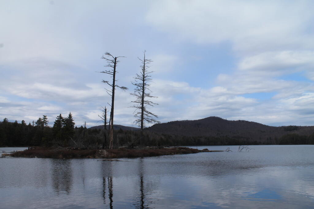
Island

1) Most Accurate Shorelines.

The Census Water Area and Liner Water Shapefiles from TIGER/Line are pretty accurate, but they are not nearly as good as topographic maps.

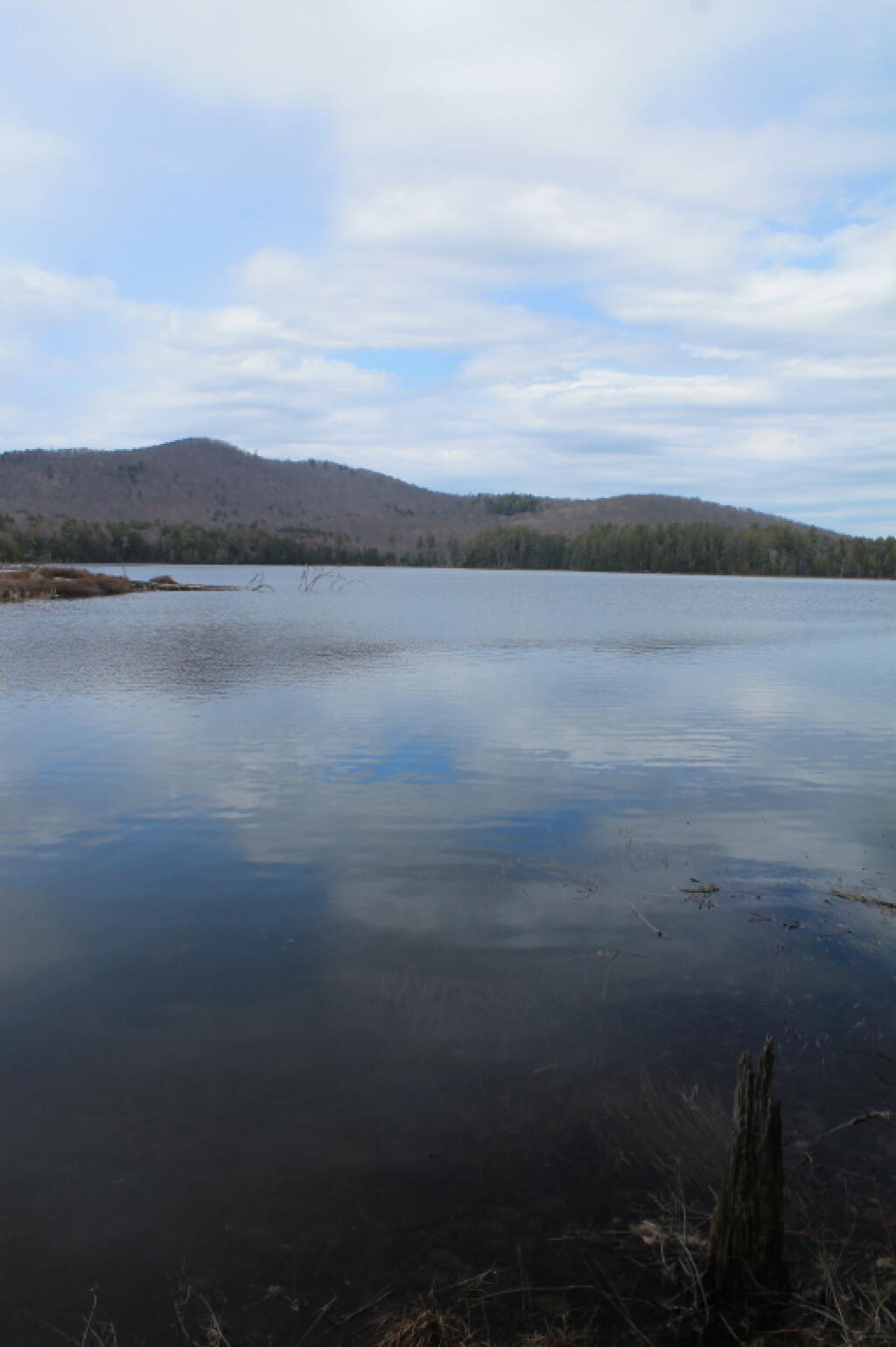
New Lake Mountain

2) Wetlands.

Currently I don’t have any good source of data or wetlands to add to my maps. I probably should do more research into this, as I know the state does have wetland maps available — but how much of a PITA are they to use?

I Had Nightmeres I'd Roll Into the Ditch

3) Buildings.

Topographic maps have many of the buildings on them. While this information can be outdated, it does provide useful information to the viewer of such maps. TIGER/line has some features, like cemeteries and some buildings, but this data set is tiny compared to what’s on the NYSDOT topographic maps.