On June 20, prior to going out to the folks house, I decided to go for a little walk at the OSI Parcel of Thacher Park, from Carrick Road down to High Point, then to Hang Gliders’ Point. While very hazy, it still was a beautiful day.
Parked at the old Blue Stone Mining Pit, with the “Stone Sculptures”.
At the 3 Mile Ski Trail Loop Intersection.
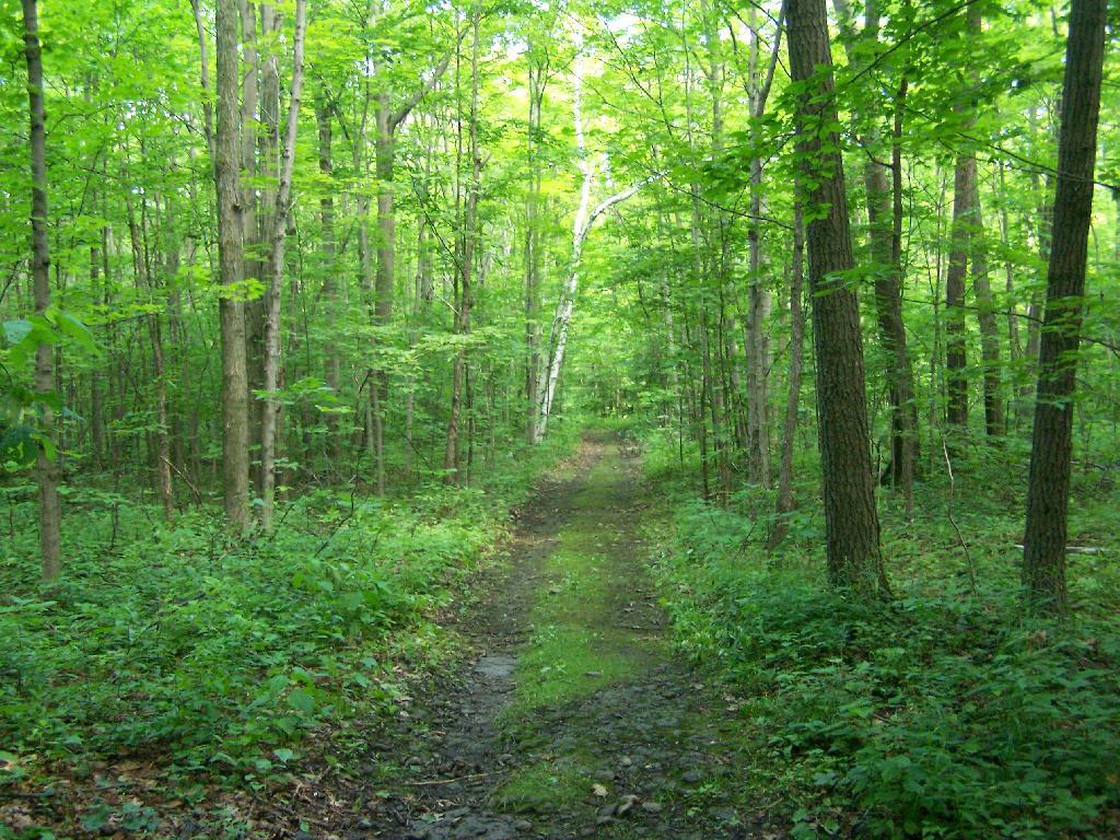
Hiking down an old-woods road that I accidentially followed too far and went right past High Point.
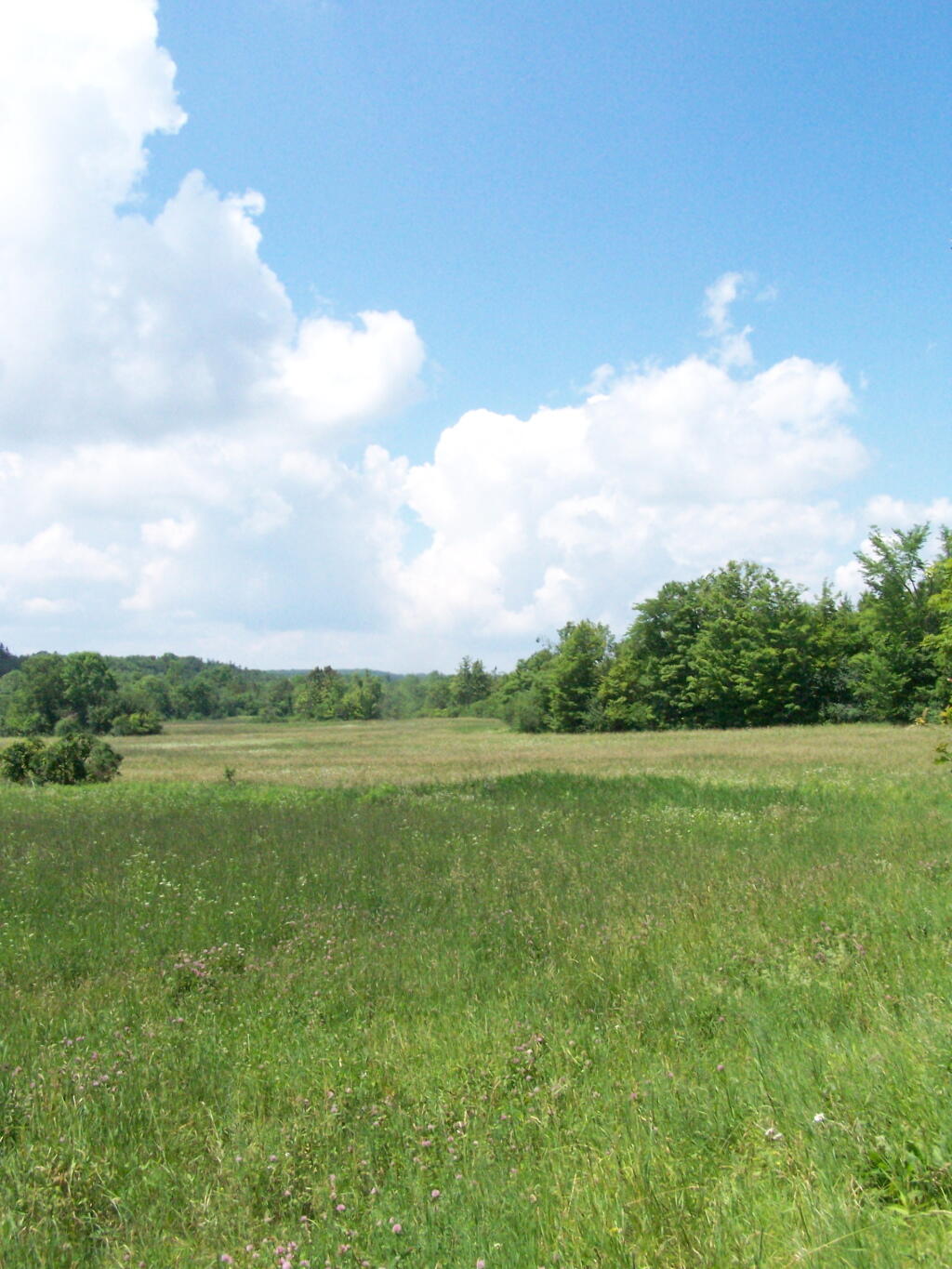
I ended up in this big hay field bordering the OSI Parcel that has a trail running through it via a landowner easement.
And I finally found my way to the High Point Overlook, in the haze.
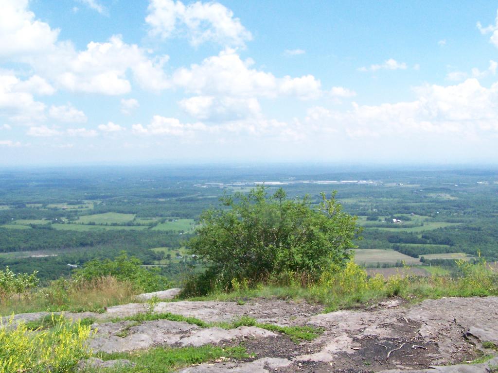
Looking down over the Altamont Fair Grounds.
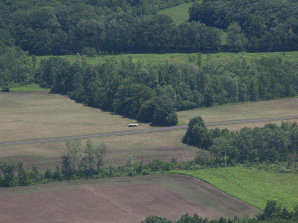
You could see the corn just starting to pop up along Brandle Road in Altamont from the overlook.
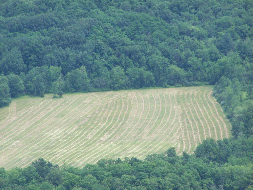
And where a farmer had just cut some fresh hay below.
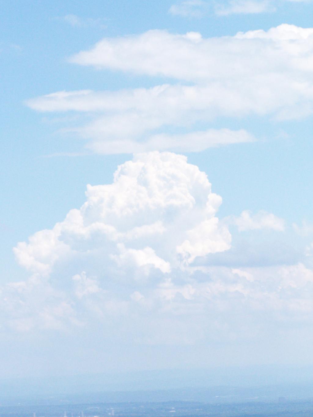
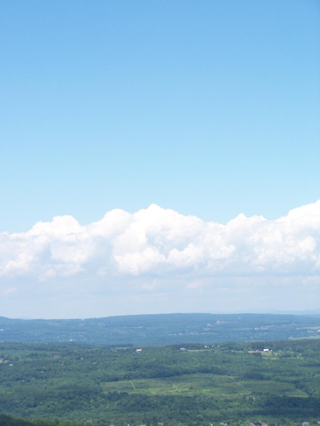
A pretty cloud.
Looking off High Point onto land below.
Hiked over to Hang Gliders’ Cliff.
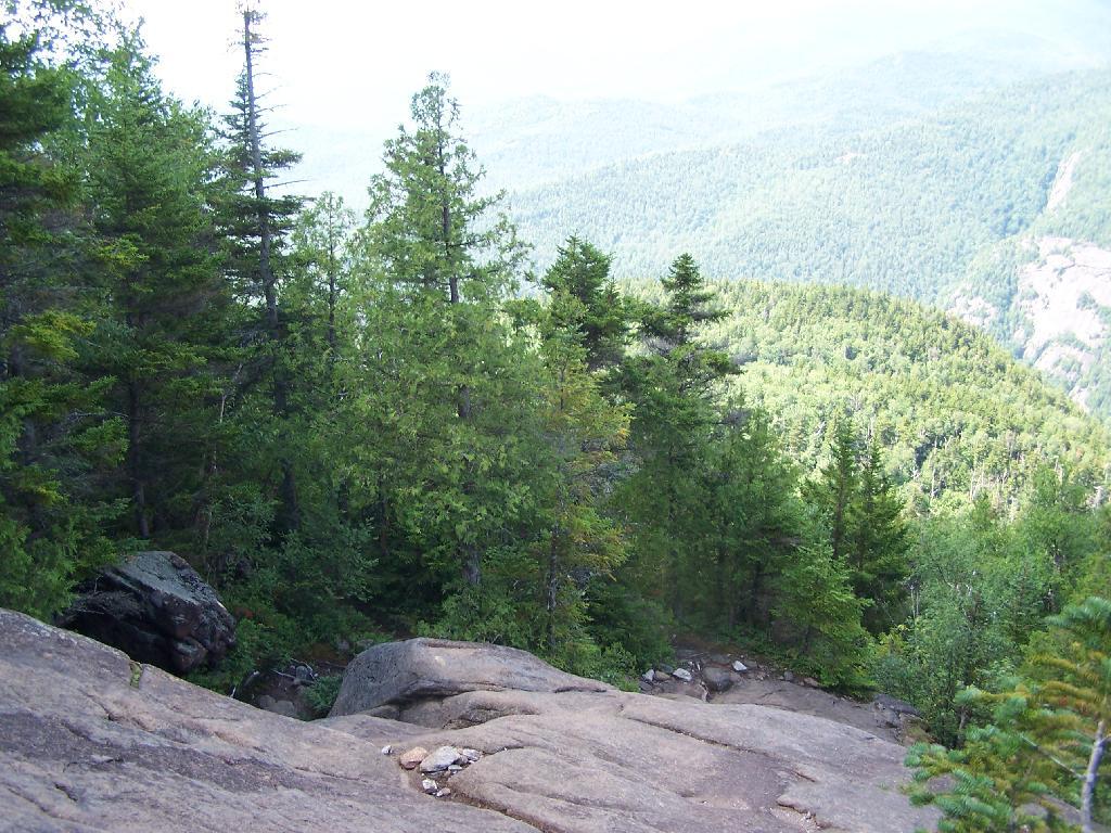
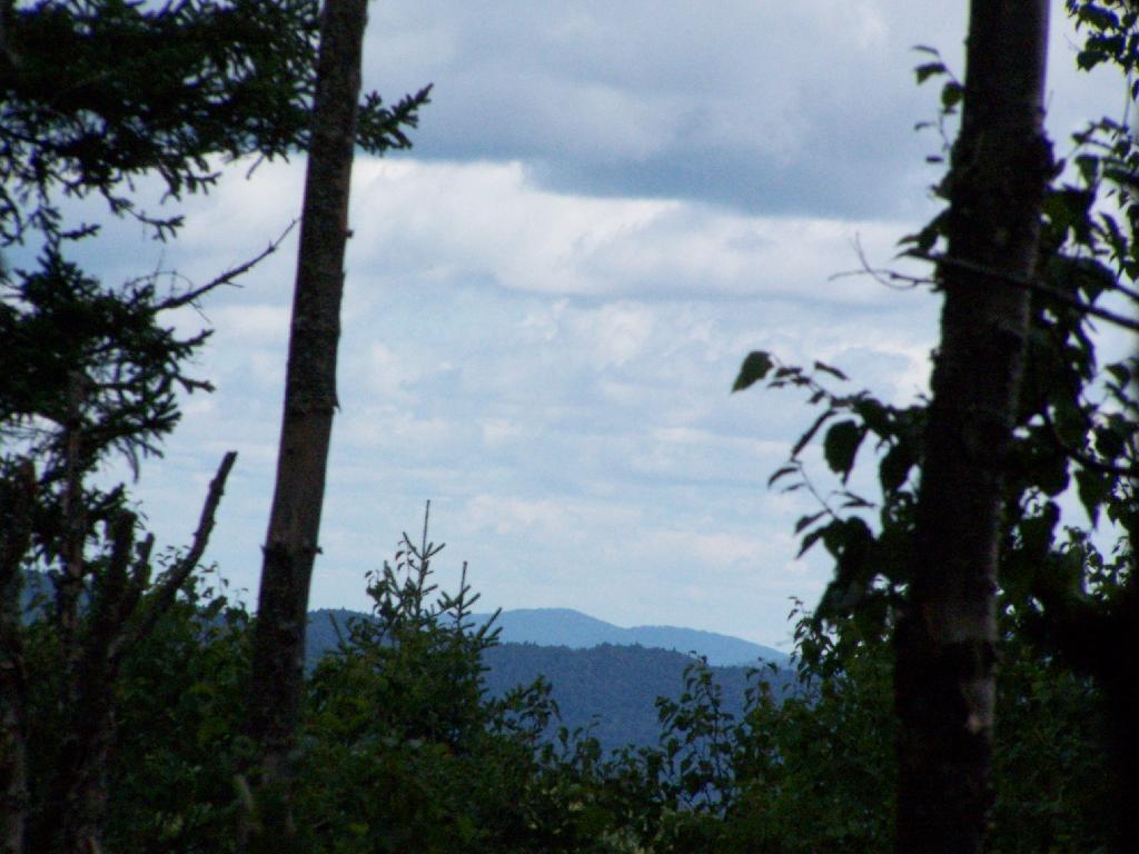
View from the unmarked trail to Hang Glider’s Cliff.
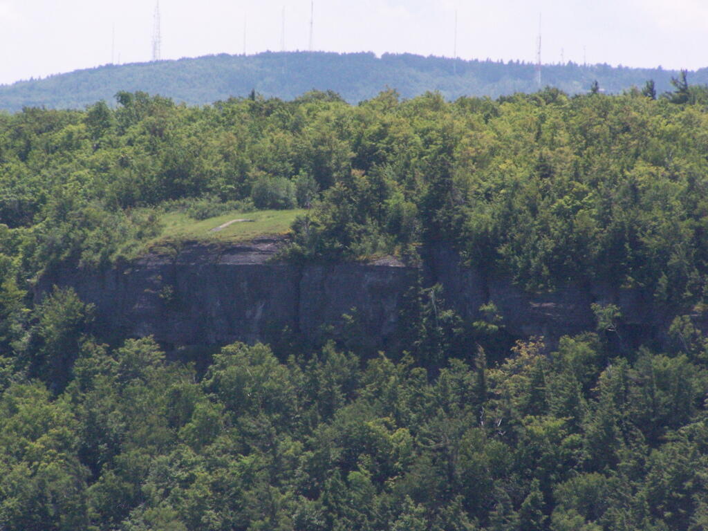
A Hang Gliders’ Cliff.
Low clouds hung out and over Settles Hill.
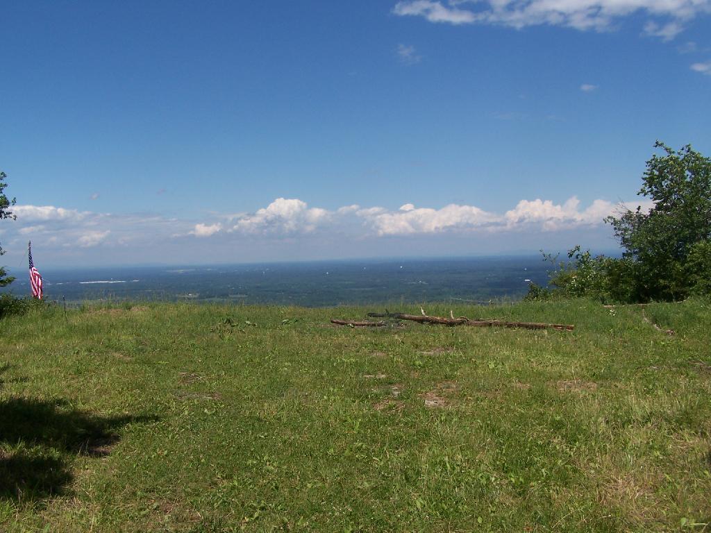
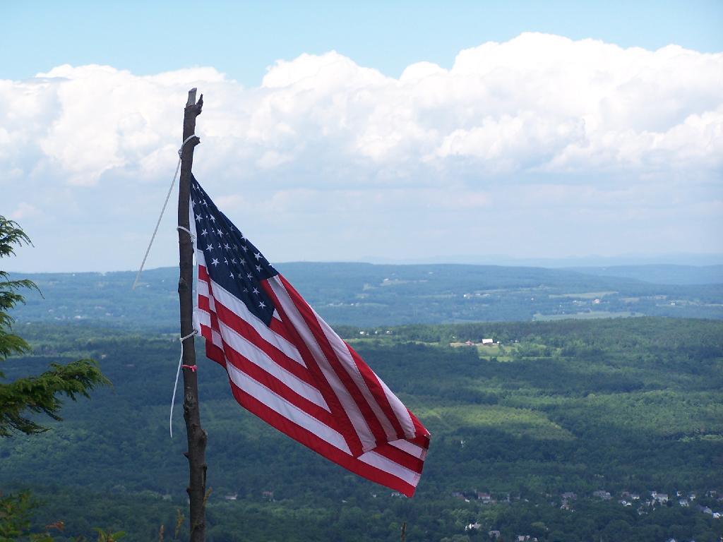
Somebody had hung a flag at Hang Gliders Cliff.
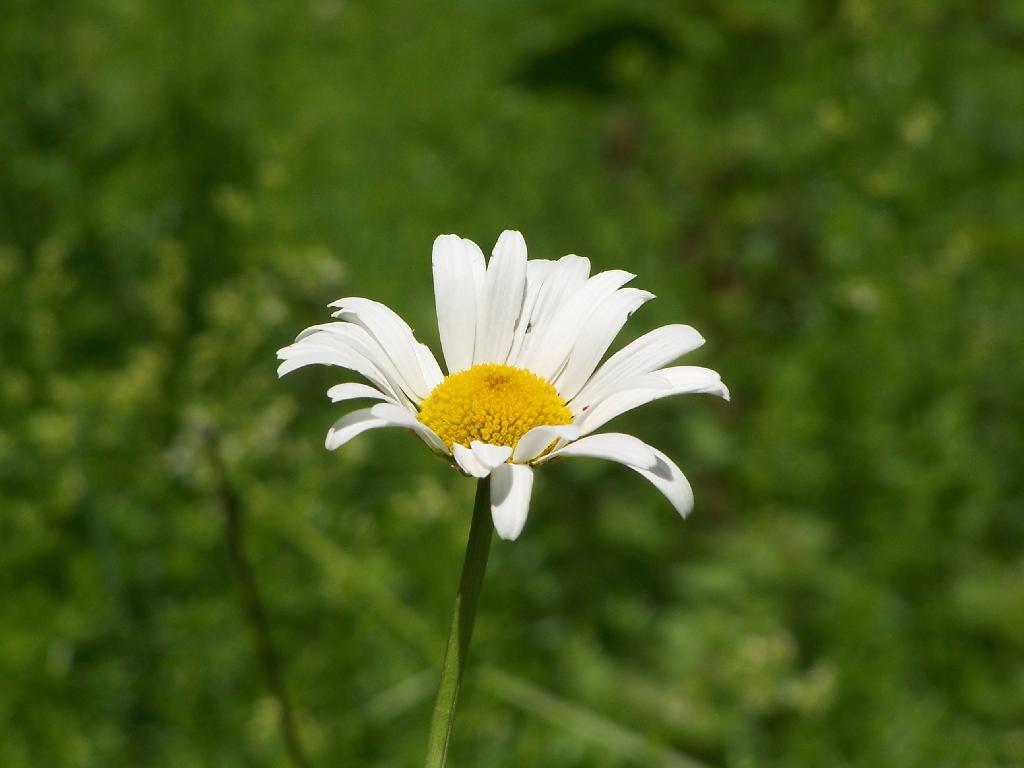
Hiking back to the pickup truck saw this cute little flower.
It was hot! Yet, it was nice to at least get out and do a lot of hiking during this very hot and humid weekend.
Here is a map of the hike.
View Thacher Park 6-20-10 in a larger map
