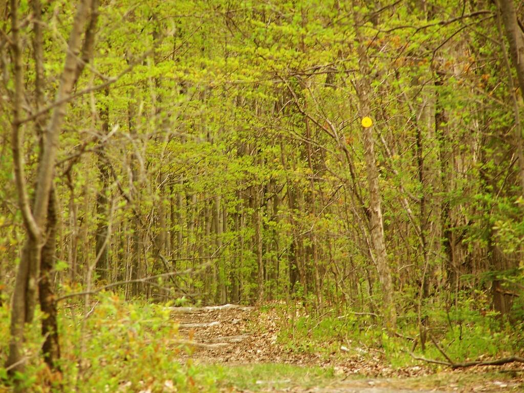
Yellow Trail

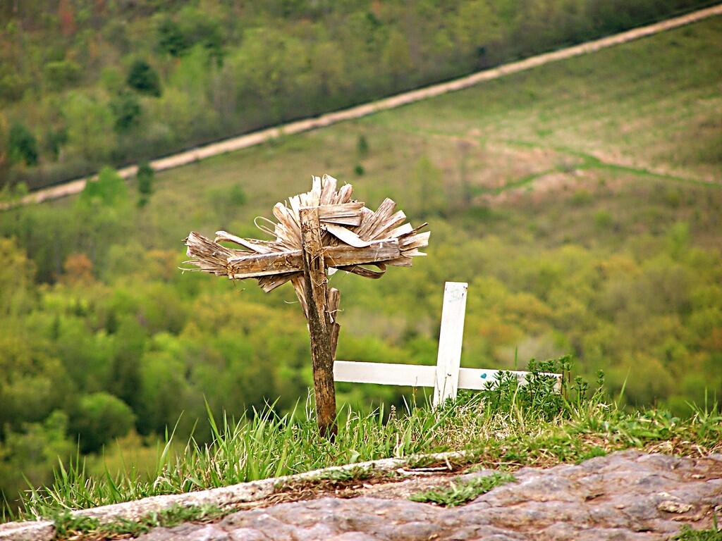
These where taken along Hang Glider Cliff. They make one pause and wonder why they are hear. A Suicide? An Accident on Sloping Cliff? A Terrible Hang Gliding Accident? Somebody's Favorite Place? Something Else? Pause and think.
Taken on Sunday May 3, 2009 at John Boyd Thacher State Park.
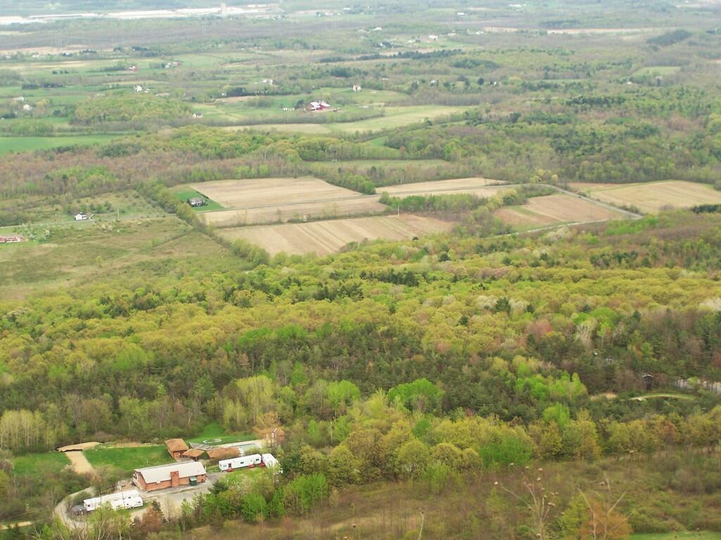
Some land in Guilderland / New Scotland, with the old Army Depot in background.
Taken on Sunday May 3, 2009 at John Boyd Thacher State Park.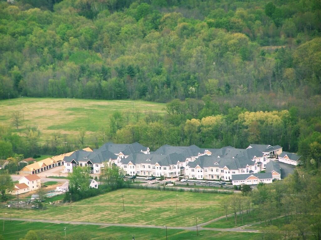
This is a development outside of Altamont. It looks like more of the luxury-cookie cutter crap that the suburbanites really dig.
Taken on Sunday May 3, 2009 at John Boyd Thacher State Park.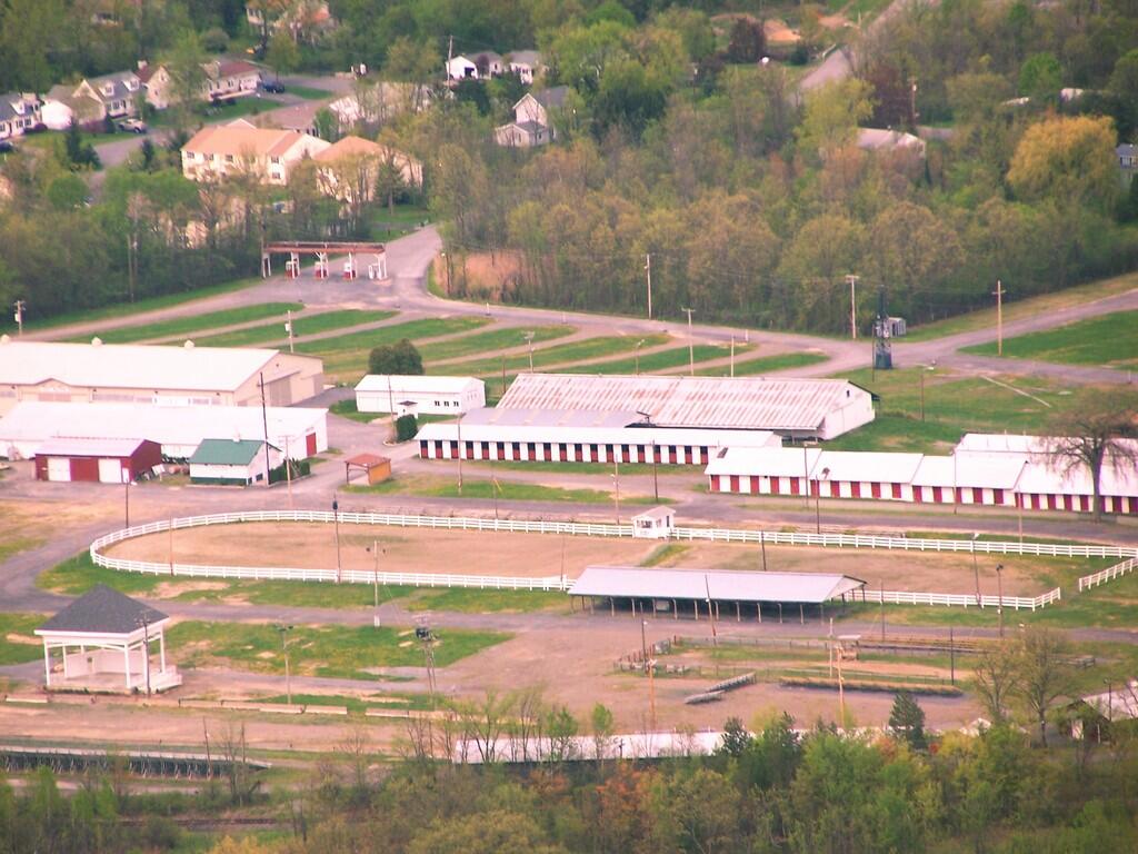
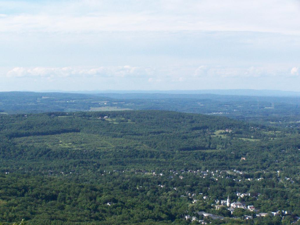
This of course is the Altamont Fairgrounds, taken from High Point at Thatcher Park / OSI preserve.
Taken on Sunday May 3, 2009 at John Boyd Thacher State Park.Nice Sunday afternoon. A bit cloudy, but warmish out. Decided to hike on OSI Preserve parcel as on May 1 they had already started to charge to parking at Thatcher Park. This area in many open fields and nice places for hiking, and indeed the start of the hike was quite enjoyable.
I was quite surpised on how there where many new trails now open in the OSI preserve, including trails to both High Point and Hang Glider’s Point. High Point previously was privately owned, but was purchased by OSI.
Both points had great views of Altamont and towards Schenectady, which was drowned in haze.
These crosses where at Hang Glider’s Point. Sad. Who died here? Why? Suicide? I’m sure somebody will write about the tragic story.
The trails are all well labeled, escape for an unmarked, but well maintained trail along the edge of the Escarptment, which you can see I took from High Point to Hang Glider’s Cliff. That escarpment trail was close to the edge in many places, but perfectly safe to watch.
It was raining in Albany.
More about these these beautiful lands.
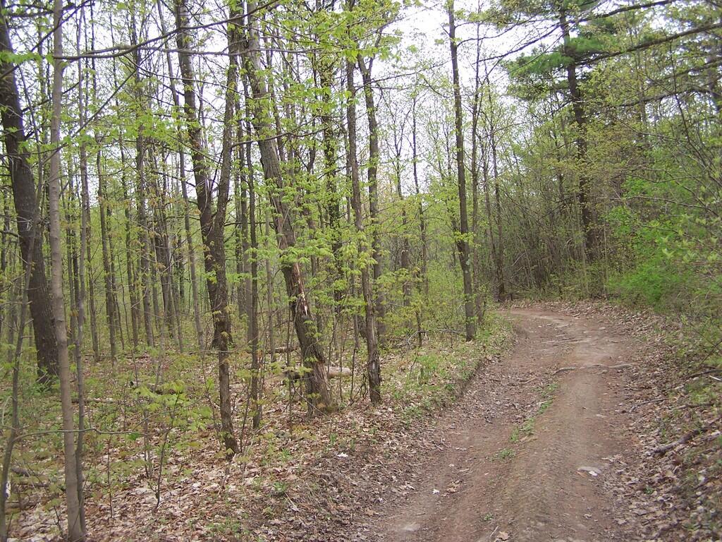
Parked at trail head on Ryan Rd. Hiked via. Yellow Trail to Carrick Road. Took Hang Glider Rd along with White Trail to Long Path. Took Long Path north to Red Trail. To Red Trail to Escarpment. Took Unmarked Escarpment Trail to High Point. Took Long Path to Red Trail. Took Red Trail back to Escarpment. Took Unmarked Escarpment Trail to Hang Glider’s Cliff. Took Hang Glider Road to Carrick Road to Yellow Trail to Ryan Road trail head.
Hikers – Carrick Road Trailhead
Red Balloons – Overlooks
Red Trail – Hike on May 3, 2008